Agnes Mouat's Byre
Coastal Feature, Headland, Point in Shetland
Scotland
Agnes Mouat's Byre
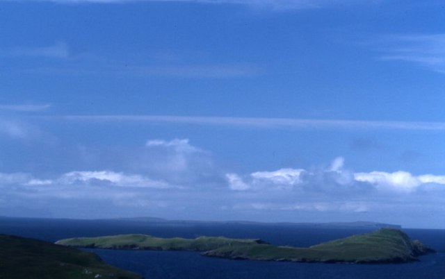
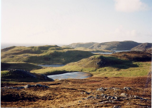
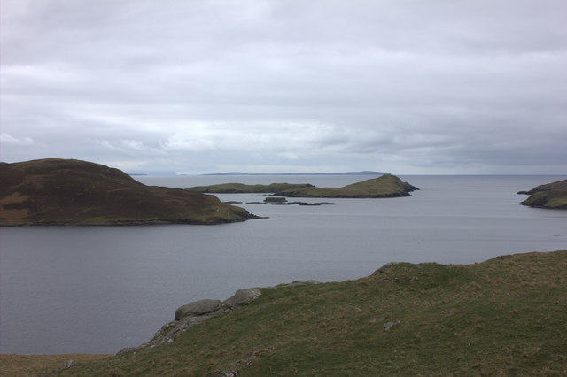
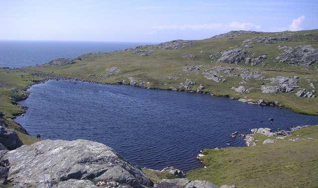
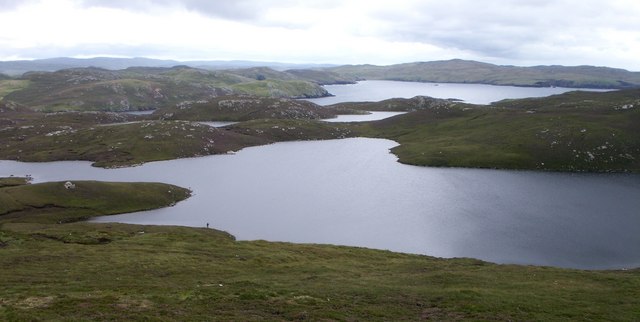
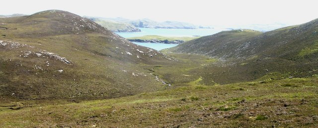
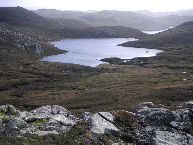
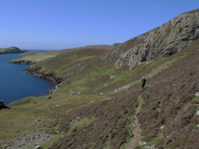
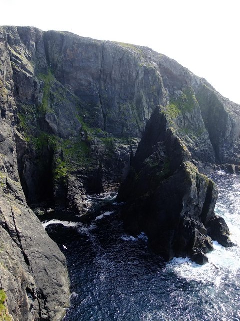
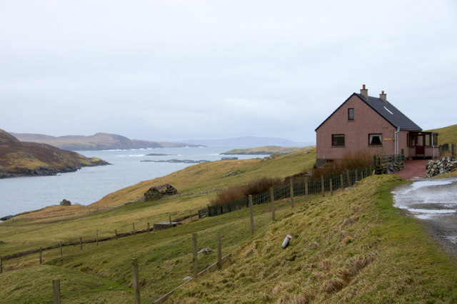
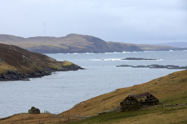
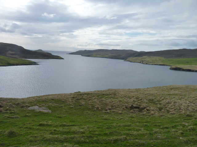
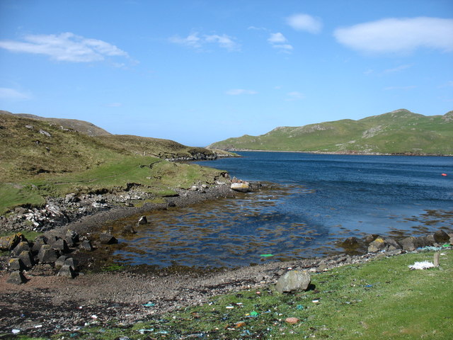
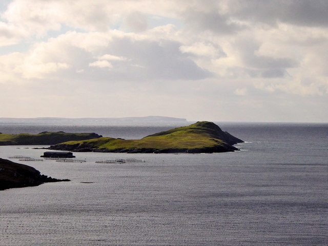
Agnes Mouat's Byre is a prominent coastal feature located on the headland of Shetland, a group of islands in Scotland. Positioned on the edge of the North Atlantic Ocean, this point stands as a testament to the rugged beauty and rich history of the region.
Named after Agnes Mouat, a local fisherman's wife, this byre (a traditional Scottish stone-built shelter for animals) serves as a reminder of the island's strong connection to the sea and its reliance on fishing as a way of life. Perched on the cliffside, it offers stunning panoramic views of the surrounding coastline, including jagged cliffs, crashing waves, and vast open water.
The byre itself is a small, weathered structure made of local stone and mortar. Its thick walls provide protection from the harsh elements, while a wooden door and small windows allow for ventilation and natural light. Inside, the space is minimal, with a dirt floor and remnants of old fishing equipment strewn about. The weathered wooden beams and faded paint on the walls tell tales of a bygone era.
Agnes Mouat's Byre is not only a physical structure but also a symbol of the island's proud maritime heritage. It serves as a reminder of the resilience and resourcefulness of the people who have called this place home for generations. Visitors to this coastal feature can immerse themselves in the history and natural beauty of Shetland while gaining a deeper appreciation for the challenges faced by those who have worked and lived on these shores.
If you have any feedback on the listing, please let us know in the comments section below.
Agnes Mouat's Byre Images
Images are sourced within 2km of 60.406965/-1.4280216 or Grid Reference HU3169. Thanks to Geograph Open Source API. All images are credited.


Agnes Mouat's Byre is located at Grid Ref: HU3169 (Lat: 60.406965, Lng: -1.4280216)
Unitary Authority: Shetland Islands
Police Authority: Highlands and Islands
What 3 Words
///infringe.chaos.lunching. Near Brae, Shetland Islands
Nearby Locations
Related Wikis

Mavis Grind
Mavis Grind (Old Norse: Mæfeiðs grind or Mæveiðs grind, meaning "gate of the narrow isthmus") is a narrow isthmus joining the Northmavine peninsula to...

Brae
"Brae" is also the Lowland Scots language word for the slope or brow of a hill.Brae (Old Norse: Breiðeið, meaning "the wide isthmus") is a village on the...

Muckle Roe
Muckle Roe is an island in Shetland, Scotland, in St. Magnus Bay, to the west of Mainland. It has a population of around 130 people, who mainly croft and...

Busta Voe
Busta Voe, (HU665350), in the north central Mainland, Shetland, is a sea inlet lying between the village of Brae and the island of Muckle Roe. At the head...
Gunnister
Gunnister is a small 'abandoned' village at the North-West Mainland in Shetland, Scotland. It is most commonly known for the Gunnister Man - the remains...
Sullom
Sullom is a village on the Shetland peninsula of Northmavine, between Haggrister and Bardister. It lies on the northwest side of Sullom Voe, to which it...
Punds Water
Punds Water is a freshwater loch near Mangaster in Northmavine, Shetland. It also gives its name to a nearby Neolithic heel-shaped cairn. == Heel-shaped... ==
Linga, Busta Voe
Linga is a small, uninhabited island, 1 km (0.62 mi) east of Muckle Roe in the Shetland Islands. The island is roughly circular in shape and its highest...
Have you been to Agnes Mouat's Byre?
Leave your review of Agnes Mouat's Byre below (or comments, questions and feedback).