Shalders Houll
Island in Shetland
Scotland
Shalders Houll
Shalders Houll is a quaint and picturesque hamlet located on the remote and rugged Shetland Islands in Scotland. Situated in the North Sea, Shetland is known for its dramatic landscapes, rich wildlife, and unique cultural heritage. Shalders Houll perfectly encapsulates the essence of this enchanting archipelago.
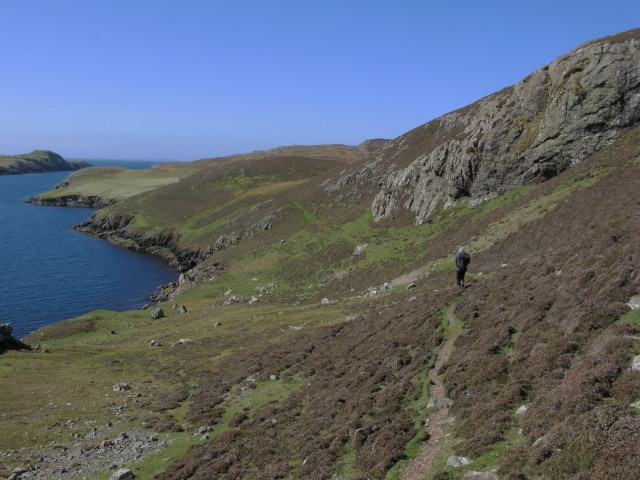
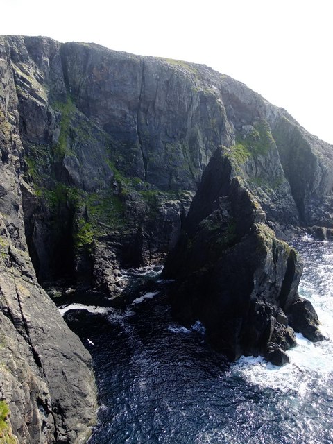
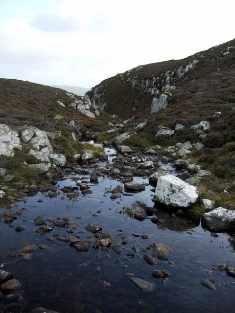
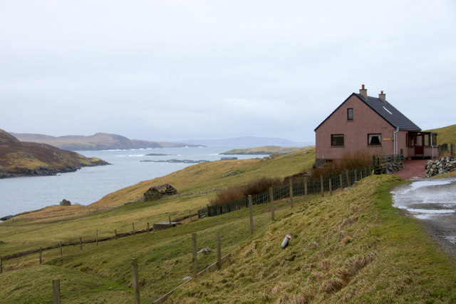
Nestled on the island's west coast, Shalders Houll is surrounded by rolling hills, stunning cliffs, and breathtaking panoramic views of the North Atlantic Ocean. The hamlet consists of a cluster of traditional stone cottages, each adorned with vibrant flower gardens and charming thatched roofs. These structures, dating back several centuries, provide a glimpse into Shetland's historical past and its close ties to the sea.
The community of Shalders Houll is small, with a tight-knit population of friendly locals who are proud of their island's heritage. The hamlet offers a tranquil and idyllic setting, appealing to those seeking a peaceful retreat or a base for outdoor activities such as hiking, birdwatching, and fishing.
Despite its remote location, Shalders Houll is within easy reach of nearby amenities. The larger town of Lerwick is a short drive away, offering a range of shops, restaurants, and cultural attractions. Visitors to Shalders Houll can also explore the island's many archaeological sites, such as the ancient Jarlshof settlement, or take part in the vibrant local festivals, including the world-renowned Up Helly Aa fire festival in Lerwick.
In summary, Shalders Houll is a hidden gem on the Shetland Islands, offering a tranquil and picturesque retreat amidst stunning natural landscapes and a rich cultural heritage. It is a place where visitors can immerse themselves in the beauty of the Scottish islands while discovering the warmth and unique traditions of its welcoming community.
If you have any feedback on the listing, please let us know in the comments section below.
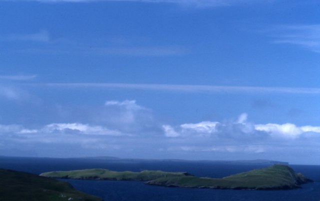
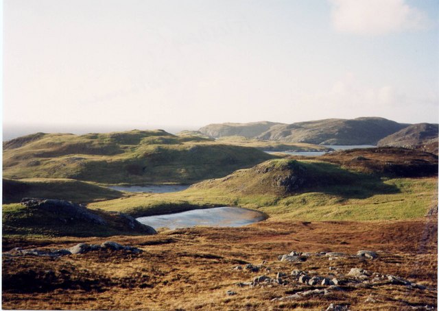
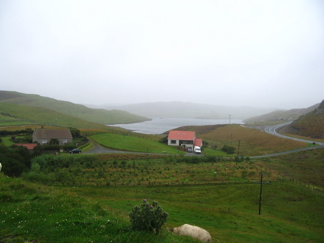
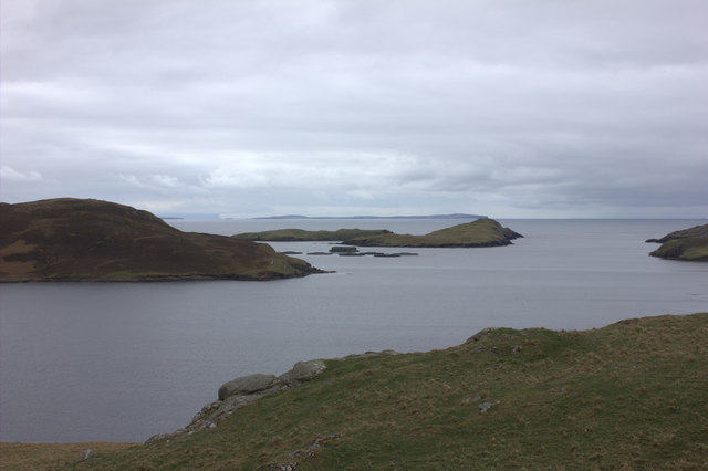
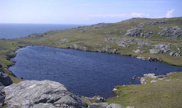
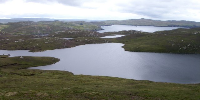
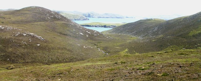
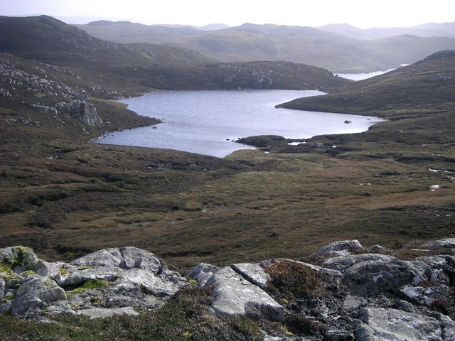
Shalders Houll Images
Images are sourced within 2km of 60.40821/-1.4252406 or Grid Reference HU3169. Thanks to Geograph Open Source API. All images are credited.


Shalders Houll is located at Grid Ref: HU3169 (Lat: 60.40821, Lng: -1.4252406)
Unitary Authority: Shetland Islands
Police Authority: Highlands and Islands
What 3 Words
///crypt.safest.villager. Near Brae, Shetland Islands
Nearby Locations
Related Wikis

Mavis Grind
Mavis Grind (Old Norse: Mæfeiðs grind or Mæveiðs grind, meaning "gate of the narrow isthmus") is a narrow isthmus joining the Northmavine peninsula to...

Brae
"Brae" is also the Lowland Scots language word for the slope or brow of a hill.Brae (Old Norse: Breiðeið, meaning "the wide isthmus") is a village on the...

Busta Voe
Busta Voe, (HU665350), in the north central Mainland, Shetland, is a sea inlet lying between the village of Brae and the island of Muckle Roe. At the head...

Muckle Roe
Muckle Roe is an island in Shetland, Scotland, in St. Magnus Bay, to the west of Mainland. It has a population of around 130 people, who mainly croft and...
Gunnister
Gunnister is a small 'abandoned' village at the North-West Mainland in Shetland, Scotland. It is most commonly known for the Gunnister Man - the remains...
Sullom
Sullom is a village on the Shetland peninsula of Northmavine, between Haggrister and Bardister. It lies on the northwest side of Sullom Voe, to which it...
Punds Water
Punds Water is a freshwater loch near Mangaster in Northmavine, Shetland. It also gives its name to a nearby Neolithic heel-shaped cairn. == Heel-shaped... ==
Linga, Busta Voe
Linga is a small, uninhabited island, 1 km (0.62 mi) east of Muckle Roe in the Shetland Islands. The island is roughly circular in shape and its highest...
Have you been to Shalders Houll?
Leave your review of Shalders Houll below (or comments, questions and feedback).