Flue Geos
Coastal Feature, Headland, Point in Shetland
Scotland
Flue Geos
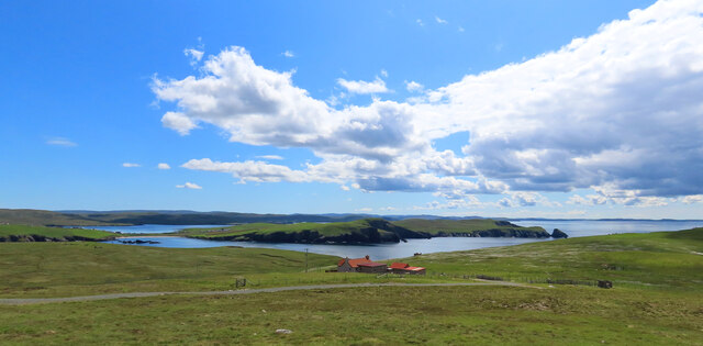
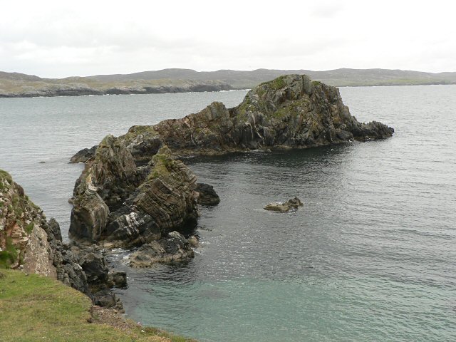
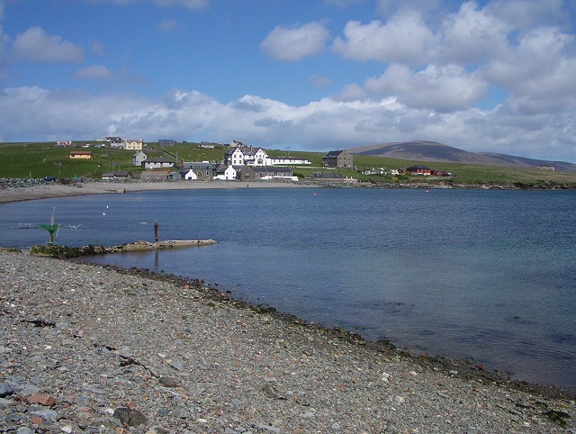
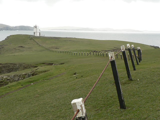
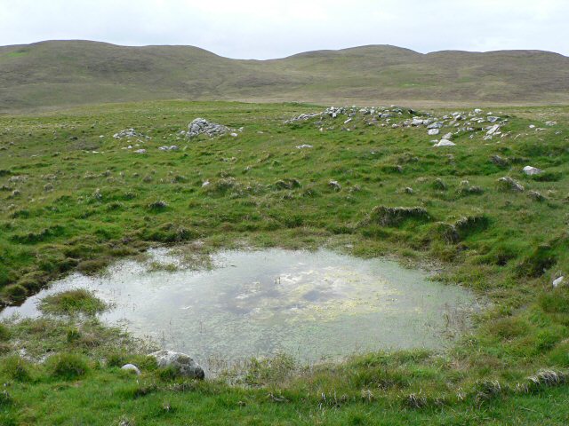
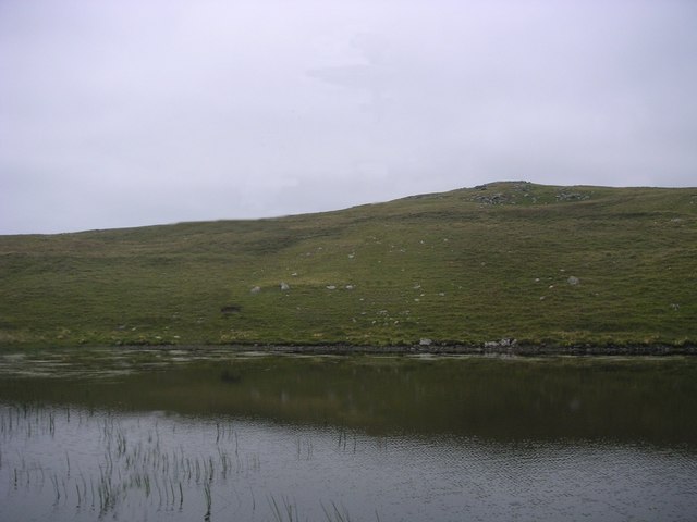
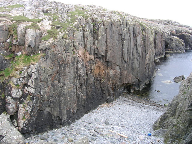
Flue Geos is a prominent coastal feature located in the Shetland Islands, off the coast of Scotland. It is classified as a headland, jutting out into the North Sea and forming a distinct point on the island. Flue Geos is characterized by its rugged and dramatic cliffs, which rise steeply from the sea, providing a spectacular view of the surrounding landscape.
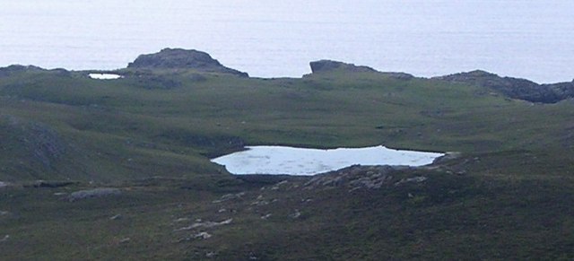
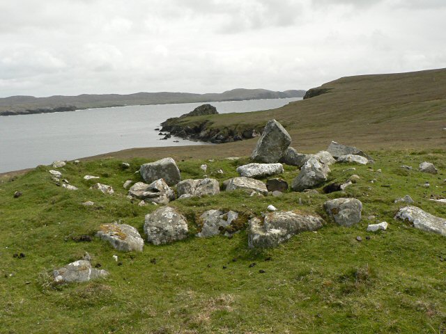
The headland is composed of layers of sedimentary rock, with distinct bands of sandstone, shale, and limestone. These rock formations have been shaped over millions of years by erosion caused by the relentless force of the ocean waves. This erosion has created a series of deep geos, or narrow clefts, in the cliff face, which give Flue Geos its name.
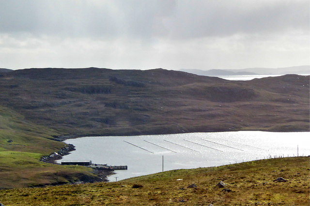
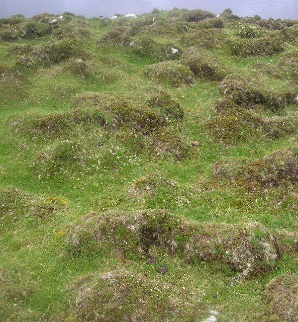
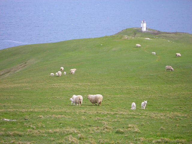
The cliffs of Flue Geos are an important habitat for a variety of bird species. Seabirds such as puffins, guillemots, and razorbills can be found nesting on the rocky ledges, while fulmars and kittiwakes soar above the crashing waves. The surrounding waters are also home to seals and other marine mammals, which can often be seen basking on the rocks or swimming close to the shore.
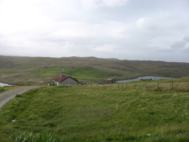
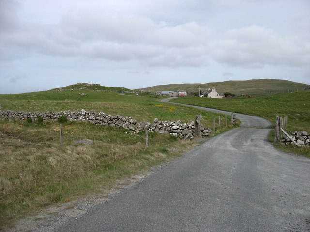
Flue Geos is a popular spot for outdoor enthusiasts, offering opportunities for hiking, birdwatching, and photography. The headland provides a stunning backdrop for coastal walks along the rugged coastline, with panoramic views of the sea and nearby islands. Access to Flue Geos is relatively easy, with a well-maintained footpath leading visitors to the edge of the cliffs, where they can experience the awe-inspiring beauty of this coastal feature.
If you have any feedback on the listing, please let us know in the comments section below.
Flue Geos Images
Images are sourced within 2km of 60.462249/-1.4654331 or Grid Reference HU2975. Thanks to Geograph Open Source API. All images are credited.


Flue Geos is located at Grid Ref: HU2975 (Lat: 60.462249, Lng: -1.4654331)
Unitary Authority: Shetland Islands
Police Authority: Highlands and Islands
What 3 Words
///advantage.screening.monorail. Near Brae, Shetland Islands
Related Wikis

Hillswick
Hillswick is a small village in Northmavine, on the shore of the Atlantic Ocean and lies to the north-north west of Mainland, Shetland, the most northerly...

Gunnister
Gunnister is a small 'abandoned' village at the North-West Mainland in Shetland, Scotland. It is most commonly known for the Gunnister Man - the remains...
Punds Water
Punds Water is a freshwater loch near Mangaster in Northmavine, Shetland. It also gives its name to a nearby Neolithic heel-shaped cairn. == Heel-shaped... ==

The Drongs
The Drongs are a group of sea stacks off the coast of Hillswick Ness, Northmavine, Shetland, Scotland. They lie to the west of the Isle of Westerhouse...

Assater
Assater (also spelled Assetter) is a hamlet on Mainland, in Shetland, Scotland. Assater is situated in the parish of Northmaven. It is about 1.3 miles...

Eela Water
Eela Water is a freshwater loch (lake) in Northmavine, part of the mainland of Shetland in Scotland. Besides being a freshwater fishing location, the site...

Battle of Ronas Voe
The Battle of Ronas Voe was a naval engagement between the English Royal Navy and the Dutch East India ship Wapen van Rotterdam on 14 March 1674 in Ronas...

Heylor
Heylor is a settlement situated on the south side of Ronas Voe in Northmavine, Shetland, Scotland. It lies directly opposite Ronas Hill, Shetland's tallest...
Have you been to Flue Geos?
Leave your review of Flue Geos below (or comments, questions and feedback).