Shuie Geo

Coastal Feature, Headland, Point in Shetland

Scotland

Shuie Geo

Ness of Hillwick Taken from the B9078 between Burnside and Eshaness, Shetland, I am looking across Sand Wick to the Ness of Hillswick. The Isle of Westerhouse is visible just off the Pund of Grevasand to the west of the Ness.
Ness of Hillwick Credit: Carroll Pierce

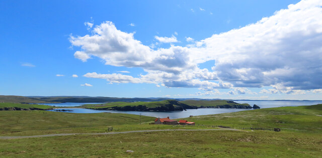
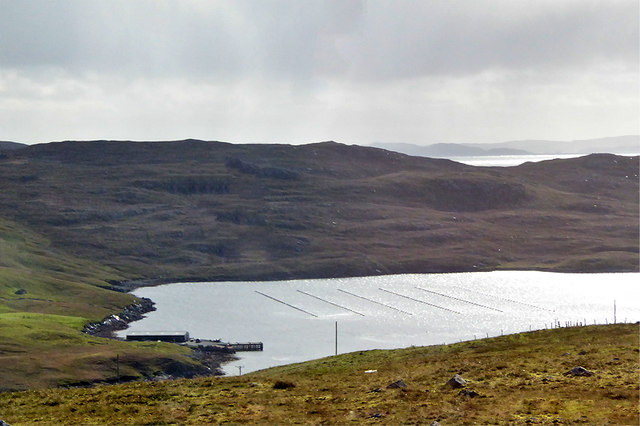
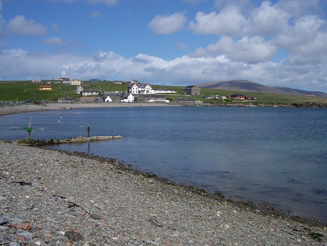
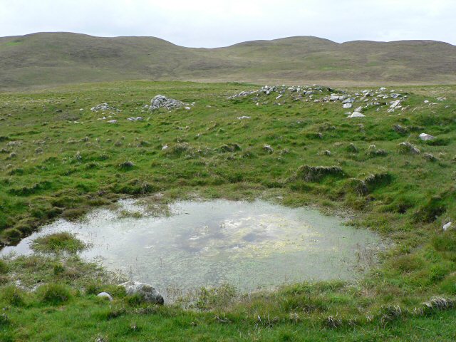
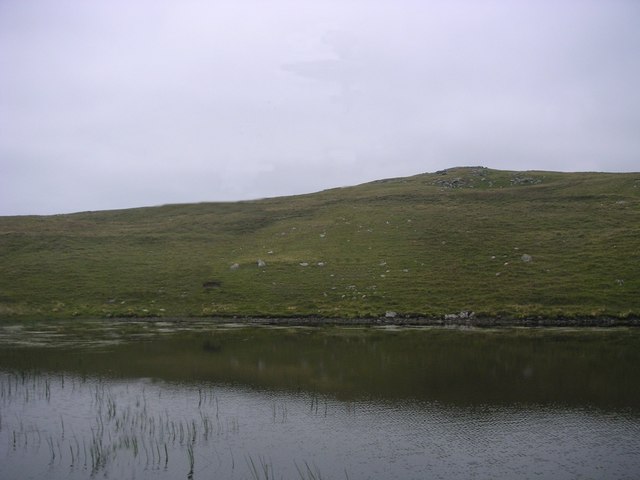
Shuie Geo is a prominent coastal feature located in the Shetland Islands, which are part of Scotland. Specifically, it is situated on the mainland of Shetland in the parish of Sandness. Shuie Geo is classified as a headland, also known as a point, due to its distinct formation and geographical characteristics.

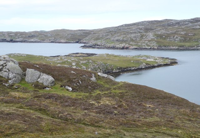
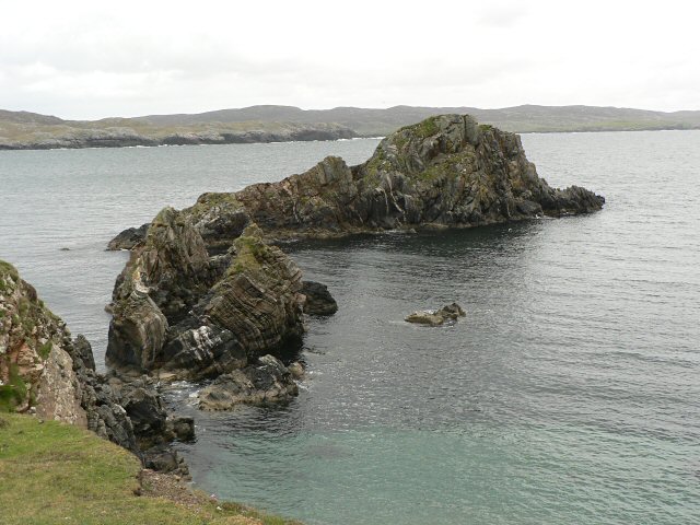
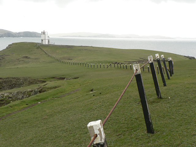
This coastal feature is characterized by its steep cliffs that extend out into the North Atlantic Ocean, forming a prominent and picturesque point. The cliffs are composed of rugged rock formations, primarily consisting of sandstone and shale. These geological formations have been shaped over thousands of years by the relentless pounding of waves and coastal erosion.

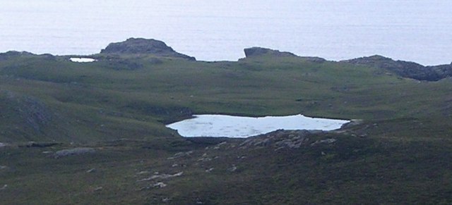
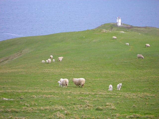
Shuie Geo offers breathtaking panoramic views of the surrounding landscape, including the vast open ocean and the nearby coastline. The area is known for its dramatic and rugged scenery, making it a popular destination for nature enthusiasts, photographers, and hikers.

The headland is also home to diverse wildlife, including seabirds such as puffins, guillemots, and razorbills, which nest on the cliffs during the breeding season. Visitors to Shuie Geo can often observe these birds in their natural habitat, creating a unique and immersive experience.

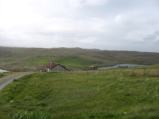
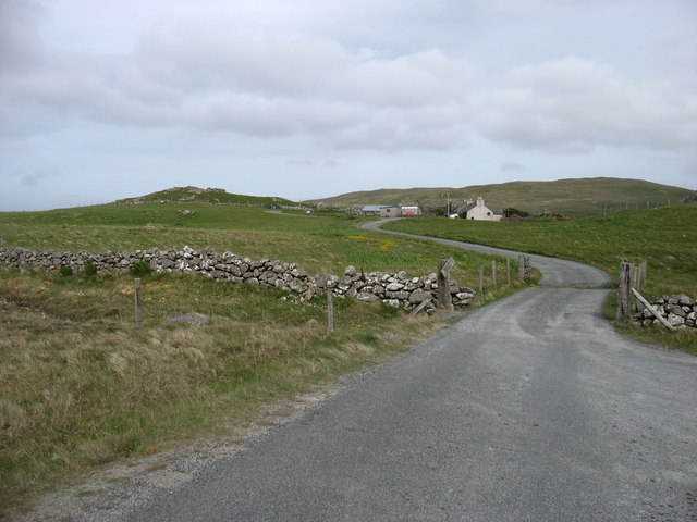
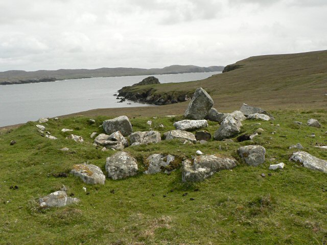
In addition to its natural beauty, Shuie Geo also holds historical and cultural significance. The area is believed to have been inhabited for centuries, with evidence of ancient settlements and archaeological sites nearby. These remnants serve as a reminder of the rich history and heritage of the Shetland Islands.

Overall, Shuie Geo is a stunning coastal feature that showcases the raw power of nature and offers visitors a glimpse into the diverse ecosystems and fascinating history of the Shetland Islands.

If you have any feedback on the listing, please let us know in the comments section below.

Shuie Geo Images

Images are sourced within 2km of 60.459711/-1.4683656 or Grid Reference HU2975. Thanks to Geograph Open Source API. All images are credited.

Ness of Hillwick Taken from the B9078 between Burnside and Eshaness, Shetland, I am looking across Sand Wick to the Ness of Hillswick. The Isle of Westerhouse is visible just off the Pund of Grevasand to the west of the Ness.
Ness of Hillwick
Taken from the B9078 between Burnside and Eshaness, Shetland, I am looking across Sand Wick to the Ness of Hillswick. The Isle of Westerhouse is visible just off the Pund of Grevasand to the west of the Ness.
Olnesfirth and Hamar Voe
Hamar Farm I was at the end of the public road: the rather battered sign says Private Road, although I doubt that there would have been any objection had I walked closer. But there wasn't anywhere to park!
Hamar Farm
I was at the end of the public road: the rather battered sign says Private Road, although I doubt that there would have been any objection had I walked closer. But there wasn't anywhere to park!
Valliers Ness In Gunnister Voe.
Valliers Ness
In Gunnister Voe.
Hamar Voe Mussel Fishery Hamar Voe is an inlet on the east coast of the Northmavine on the northwest of mainland Shetland. It is the site for a common mussel (Mytilus edulis) fishery, comprised of a single long-line mussel farm located along the east shore of the main body of the voe.
Hamar Voe Mussel Fishery
Hamar Voe is an inlet on the east coast of the Northmavine on the northwest of mainland Shetland. It is the site for a common mussel (Mytilus edulis) fishery, comprised of a single long-line mussel farm located along the east shore of the main body of the voe.
Hillswick, Shetland Large traditionally built houses at Hillswick. In the background is Findlins House and Findlins Farm.
Hillswick, Shetland
Large traditionally built houses at Hillswick. In the background is Findlins House and Findlins Farm.
Snapa Water Shallow weedy lochan.
Snapa Water
Shallow weedy lochan.
Weathered Peat West Mill loch of Hamar, peculiar weathered peat formation.
Weathered Peat
West Mill loch of Hamar, peculiar weathered peat formation.
The Quilse
The Quilse
Gordi Stack This is the stack seen edge on. From other directions it looks much wider. In the distance to the right are the Drongs - another dramatic rock formation. See <a href="https://www.geograph.org.uk/photo/550985">HU2675 : The Drongs</a> for an telephoto view.
Gordi Stack
This is the stack seen edge on. From other directions it looks much wider. In the distance to the right are the Drongs - another dramatic rock formation. See HU2675 : The Drongs for an telephoto view.
The bay at Hillswick Looking across the bay with the main settlement on the far shore.
The bay at Hillswick
Looking across the bay with the main settlement on the far shore.
Sheep near Baa Taing Looking down the sheep pasture towards the lighthouse.
Sheep near Baa Taing
Looking down the sheep pasture towards the lighthouse.
Baa Taing light A rope handrail provides safe access to the light in bad weather. The headland is wide and flat, so the conditions that might require the safety rail defy imagination.
Baa Taing light
A rope handrail provides safe access to the light in bad weather. The headland is wide and flat, so the conditions that might require the safety rail defy imagination.
Lochan and cliffs Looking across the lochan at the south end of Hillswick Ness, backed by the cliffs above Queen Geos.
Lochan and cliffs
Looking across the lochan at the south end of Hillswick Ness, backed by the cliffs above Queen Geos.
Eider ducks These large sea ducks are a common sight on northern coasts.
Eider ducks
These large sea ducks are a common sight on northern coasts.
Cairn These are the remains of a prehistoric burial mound.
Cairn
These are the remains of a prehistoric burial mound.
Remains of township There was a crofting township here. This is the remains of a pond, and beyond are the outlines of buildings.
Remains of township
There was a crofting township here. This is the remains of a pond, and beyond are the outlines of buildings.
West Mill loch of Hamar View from west bay with reeds and weed beds
West Mill loch of Hamar
View from west bay with reeds and weed beds
Show me another place!

Shuie Geo is located at Grid Ref: HU2975 (Lat: 60.459711, Lng: -1.4683656)

Unitary Authority: Shetland Islands

Police Authority: Highlands and Islands

What 3 Words

///butternut.student.journals. Near Brae, Shetland Islands

Related Wikis

Hillswick

Hillswick is a small village in Northmavine, on the shore of the Atlantic Ocean and lies to the north-north west of Mainland, Shetland, the most northerly...

Gunnister

Gunnister is a small 'abandoned' village at the North-West Mainland in Shetland, Scotland. It is most commonly known for the Gunnister Man - the remains...

Punds Water

Punds Water is a freshwater loch near Mangaster in Northmavine, Shetland. It also gives its name to a nearby Neolithic heel-shaped cairn. == Heel-shaped... ==

The Drongs

The Drongs are a group of sea stacks off the coast of Hillswick Ness, Northmavine, Shetland, Scotland. They lie to the west of the Isle of Westerhouse...

Assater

Assater (also spelled Assetter) is a hamlet on Mainland, in Shetland, Scotland. Assater is situated in the parish of Northmaven. It is about 1.3 miles...

Eela Water

Eela Water is a freshwater loch (lake) in Northmavine, part of the mainland of Shetland in Scotland. Besides being a freshwater fishing location, the site...

Battle of Ronas Voe

The Battle of Ronas Voe was a naval engagement between the English Royal Navy and the Dutch East India ship Wapen van Rotterdam on 14 March 1674 in Ronas...

Heylor

Heylor is a settlement situated on the south side of Ronas Voe in Northmavine, Shetland, Scotland. It lies directly opposite Ronas Hill, Shetland's tallest...

Have you been to Shuie Geo?

Leave your review of Shuie Geo below (or comments, questions and feedback).