Gorsender Geo
Coastal Feature, Headland, Point in Shetland
Scotland
Gorsender Geo
Gorsender Geo is a prominent coastal feature located on the Shetland Islands, an archipelago situated off the northeastern coast of Scotland. It is classified as a headland and point due to its unique geographical characteristics and its role in shaping the local coastline.
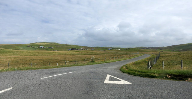
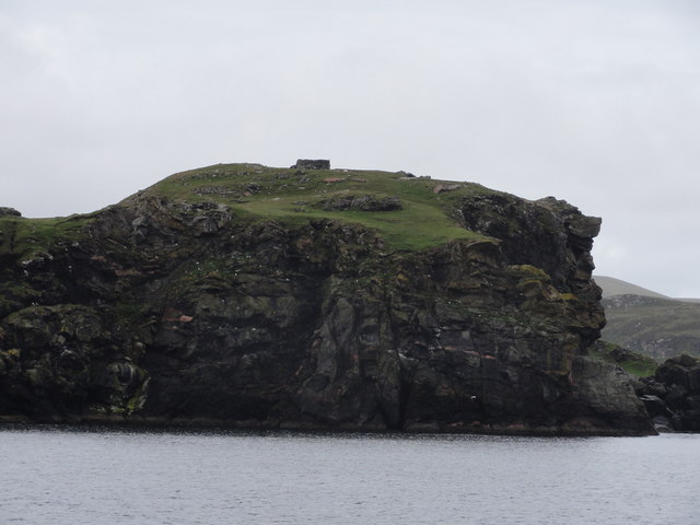
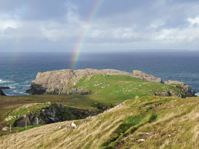
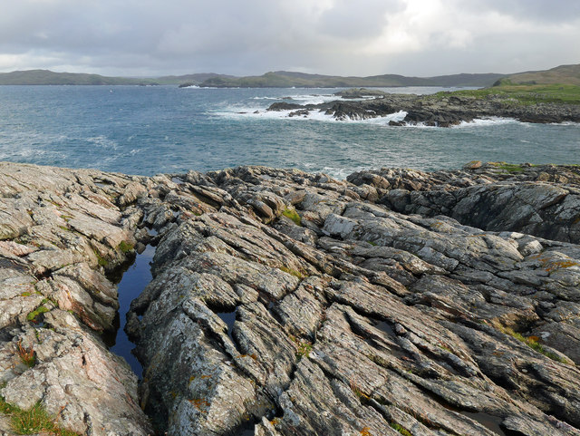
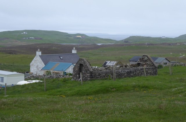
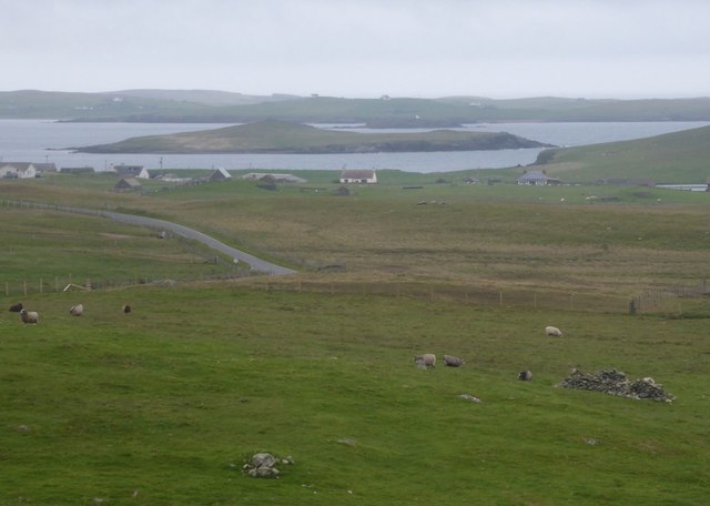
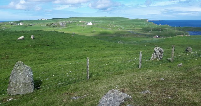
Gorsender Geo is positioned on the western side of the Shetland Islands, specifically on the island of Mainland. It is situated between the villages of Walls and Sandness, overlooking the Atlantic Ocean. The headland is characterized by steep cliffs that rise dramatically from the sea, forming a prominent and picturesque landmark in the region.
The cliffs of Gorsender Geo are composed of rugged rock formations, primarily consisting of sedimentary rocks such as sandstone and shale. The constant battering of the waves against the cliffs has resulted in the formation of sea caves and natural arches, adding to the geological diversity of the area.
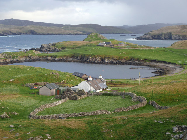
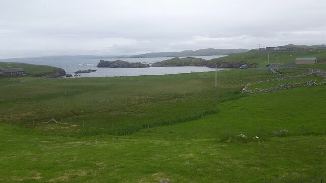
The headland provides breathtaking views of the surrounding coastline, with the nearby islands of Papa Stour and Foula visible on clear days. Its exposed location makes Gorsender Geo vulnerable to the strong winds and rough seas of the North Atlantic, which have contributed to the erosion of the cliffs over time.
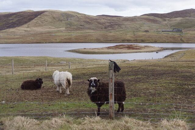
The area surrounding Gorsender Geo is home to a diverse range of marine and bird species, making it an important habitat for wildlife. Seabirds such as puffins, guillemots, and fulmars can often be spotted nesting on the cliffs, while seals and otters can be seen swimming in the waters below.
Overall, Gorsender Geo is a significant coastal feature on the Shetland Islands, offering stunning views, unique geology, and a rich biodiversity that attracts visitors and nature enthusiasts from around the world.
If you have any feedback on the listing, please let us know in the comments section below.
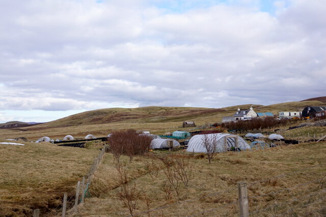
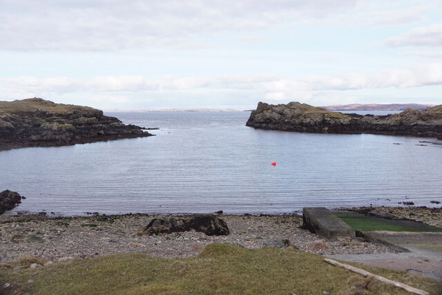
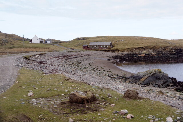
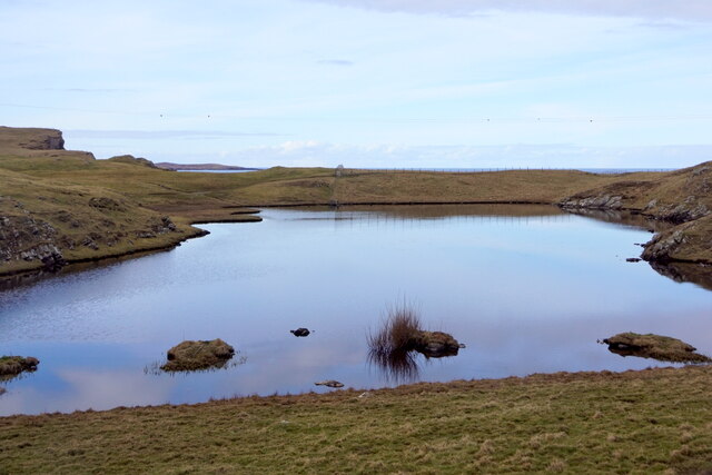
Gorsender Geo Images
Images are sourced within 2km of 60.307206/-1.6075239 or Grid Reference HU2158. Thanks to Geograph Open Source API. All images are credited.


Gorsender Geo is located at Grid Ref: HU2158 (Lat: 60.307206, Lng: -1.6075239)
Unitary Authority: Shetland Islands
Police Authority: Highlands and Islands
What 3 Words
///majors.milder.marathons. Near Walls, Shetland Islands
Nearby Locations
Related Wikis

Bousta
Bousta is a settlement on Mainland, in Shetland, Scotland. Bousta is situated in the parish of Walls and Sandness.Scott's Hawkweed is native to the pastures...

Sandness
Sandness (the "d" is not pronounced locally) is a headland and district in the west of Shetland Mainland, Scotland. Sandness was a civil parish, which...

Forewick Holm
Forewick Holm is a 1-hectare (2.5-acre) island in the Sound of Papa in the Shetland islands, Scotland. Located between Papa Stour and the Sandness peninsula...
Brei Holm
Brei Holm is a tiny tidal islet in the western Shetland Islands. It is due east of Papa Stour, to which it is connected at low tide, just outside Housa...
Maiden Stack
The Maiden Stack or Frau Stack is a tiny stack in the western Shetland Islands to the north of Brei Holm and east of Housa Voe in Papa Stour. It is so...

Broch of West Burrafirth
The Broch of West Burrafirth is an Iron Age broch located on the west side of Mainland, Shetland (grid reference HU25625720). == Location == The broch...

Biggings
Biggings is a village on the island of Papa Stour, in Shetland, Scotland. Papa Stour's church is situated at the south of Biggings. A homestead of Duke...

Papa Stour Airstrip
Papa Stour Airstrip is a small airstrip in the village of Biggings on the island of Papa Stour. Shetland, Scotland. == History == Papa Stour Airstrip opened...
Nearby Amenities
Located within 500m of 60.307206,-1.6075239Have you been to Gorsender Geo?
Leave your review of Gorsender Geo below (or comments, questions and feedback).