Shore Stack
Island in Shetland
Scotland
Shore Stack
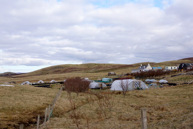
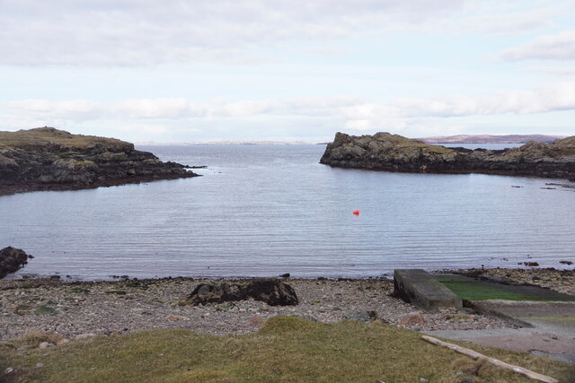
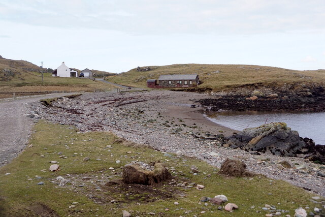
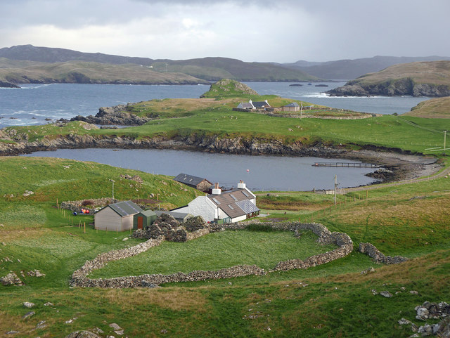
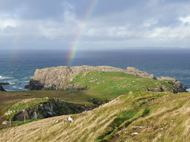
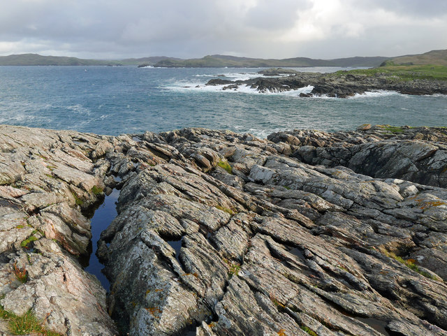
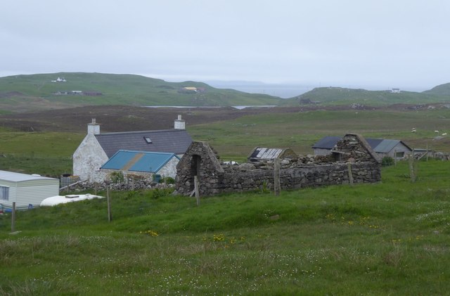
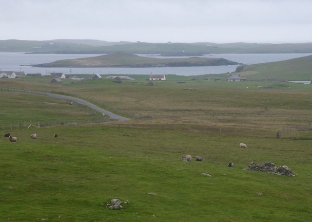
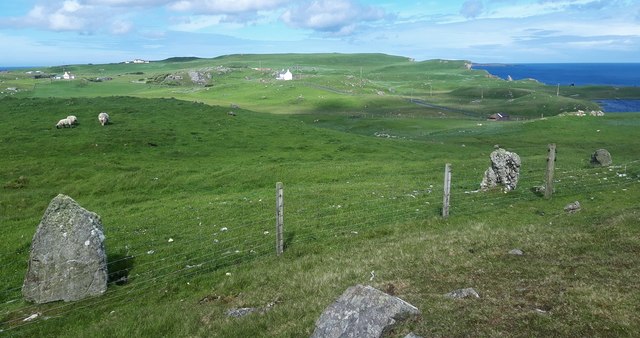
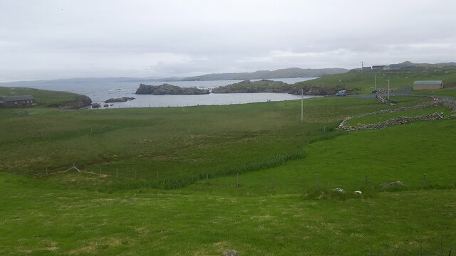
Shore Stack is a remarkable natural feature located in Shetland, an island group in Scotland. It is situated on the remote east coast of Shetland's mainland, near the village of St. Ninian's. The stack is a result of the incredible forces of erosion over thousands of years.
Shore Stack is a tall, slender sea stack that stands majestically against the backdrop of the North Sea. It is composed of vertical layers of sedimentary rock, predominantly sandstone and shale, which have been shaped by the relentless action of wind and water. The stack rises to a height of approximately 60 meters (200 feet), making it an impressive sight to behold.
This natural wonder is accessible via a rugged coastal path that leads visitors to a viewing platform overlooking the stack. From there, one can marvel at the stack's towering presence and its sheer isolation from the mainland. The surrounding cliffs and coastline provide a dramatic setting, with contrasting colors and textures that change with the shifting light.
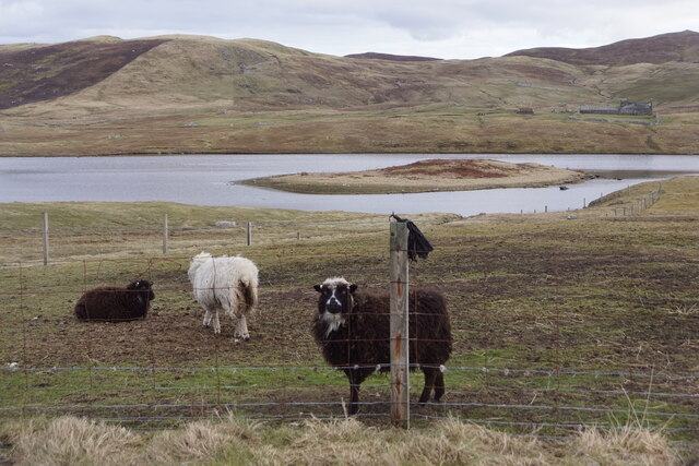
Shore Stack is not only a visually stunning landmark but also a haven for various bird species. The stack and its surrounding cliffs serve as nesting sites for seabirds such as guillemots, puffins, and razorbills. Birdwatchers flock to this area during the breeding season to observe and study these fascinating creatures in their natural habitat.
Due to its remote location, Shore Stack offers a sense of tranquility and a feeling of being at the edge of the world. It is a destination that attracts nature enthusiasts, photographers, and those seeking a unique and awe-inspiring experience.
If you have any feedback on the listing, please let us know in the comments section below.
Shore Stack Images
Images are sourced within 2km of 60.307899/-1.6171609 or Grid Reference HU2158. Thanks to Geograph Open Source API. All images are credited.

Shore Stack is located at Grid Ref: HU2158 (Lat: 60.307899, Lng: -1.6171609)
Unitary Authority: Shetland Islands
Police Authority: Highlands and Islands
What 3 Words
///overheat.paint.entitles. Near Walls, Shetland Islands
Nearby Locations
Related Wikis

Bousta
Bousta is a settlement on Mainland, in Shetland, Scotland. Bousta is situated in the parish of Walls and Sandness.Scott's Hawkweed is native to the pastures...

Sandness
Sandness (the "d" is not pronounced locally) is a headland and district in the west of Shetland Mainland, Scotland. Sandness was a civil parish, which...

Forewick Holm
Forewick Holm is a 1-hectare (2.5-acre) island in the Sound of Papa in the Shetland islands, Scotland. Located between Papa Stour and the Sandness peninsula...
Brei Holm
Brei Holm is a tiny tidal islet in the western Shetland Islands. It is due east of Papa Stour, to which it is connected at low tide, just outside Housa...
Maiden Stack
The Maiden Stack or Frau Stack is a tiny stack in the western Shetland Islands to the north of Brei Holm and east of Housa Voe in Papa Stour. It is so...

Biggings
Biggings is a village on the island of Papa Stour, in Shetland, Scotland. Papa Stour's church is situated at the south of Biggings. A homestead of Duke...

Broch of West Burrafirth
The Broch of West Burrafirth is an Iron Age broch located on the west side of Mainland, Shetland (grid reference HU25625720). == Location == The broch...

Papa Stour Airstrip
Papa Stour Airstrip is a small airstrip in the village of Biggings on the island of Papa Stour. Shetland, Scotland. == History == Papa Stour Airstrip opened...
Nearby Amenities
Located within 500m of 60.307899,-1.6171609Have you been to Shore Stack?
Leave your review of Shore Stack below (or comments, questions and feedback).