Brough Skerries
Island in Shetland
Scotland
Brough Skerries
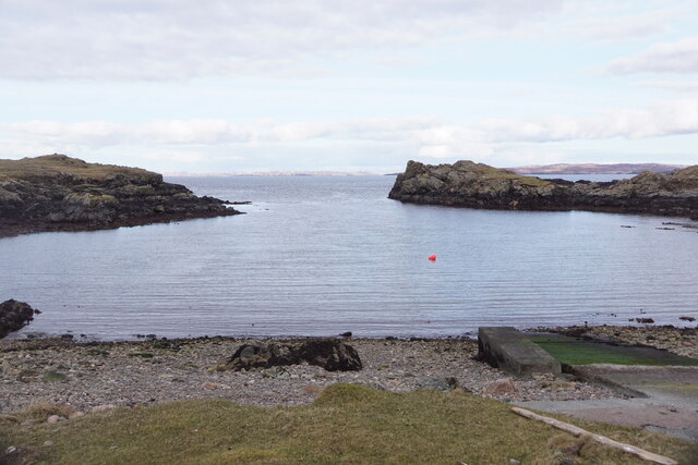
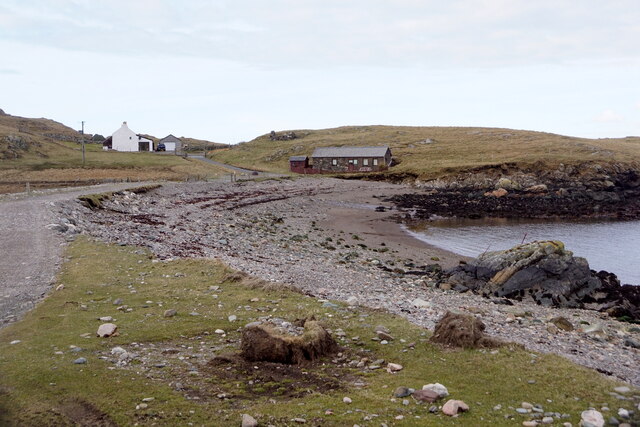
Brough Skerries is a group of small islands located off the north coast of Shetland, Scotland. It consists of several rocky islets and skerries, with the main islands being the East and West Brough Skerries. These islands are uninhabited and are known for their rugged and untouched beauty.
The Brough Skerries are situated in the North Atlantic Ocean, approximately 14 miles northeast of the Shetland mainland. They cover a total area of around 1.5 square kilometers and are primarily composed of ancient volcanic rocks, giving them a distinct geological character.
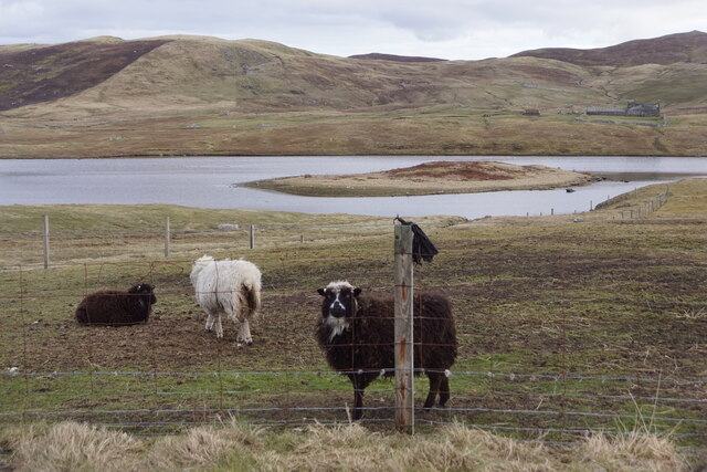
The islands are home to a diverse range of seabirds, including puffins, guillemots, and kittiwakes. The surrounding waters are rich in marine life, with seals, otters, and various species of fish inhabiting the area. The Brough Skerries provide an important breeding ground and sanctuary for these animals.
Access to the islands is limited, and there are no regular boat services available. However, visitors can arrange private boat trips or tours to explore the area and experience its natural wonders. The rugged cliffs, sea caves, and stunning coastal scenery make Brough Skerries a popular destination for birdwatching, photography, and nature enthusiasts.
Due to its remote location and lack of facilities, visitors are advised to come prepared with appropriate clothing, food, and equipment. The Brough Skerries offer a unique opportunity to witness the untamed beauty of nature in the Shetland Islands, providing a tranquil and serene environment away from the hustle and bustle of modern life.
If you have any feedback on the listing, please let us know in the comments section below.
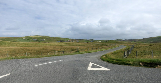
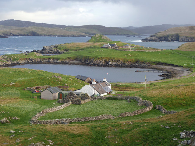
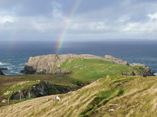
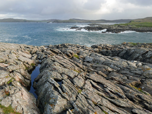
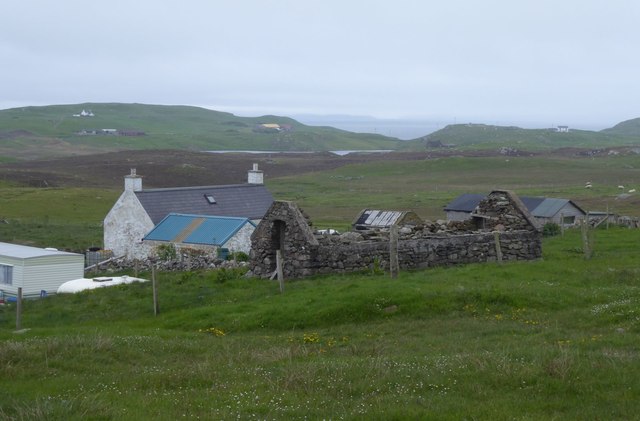
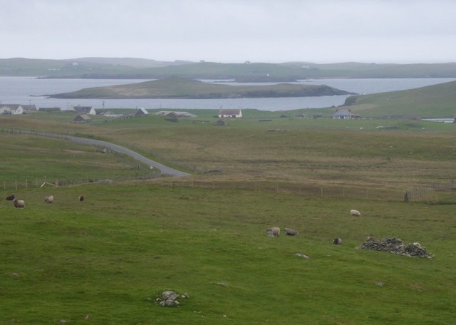
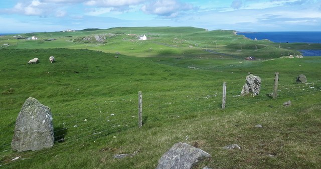
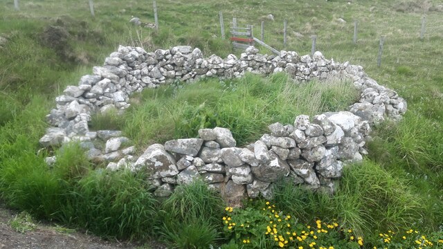
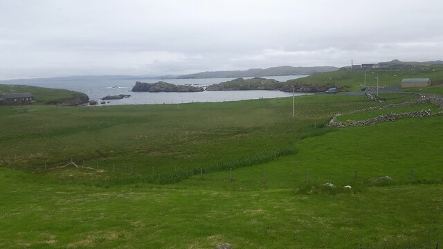
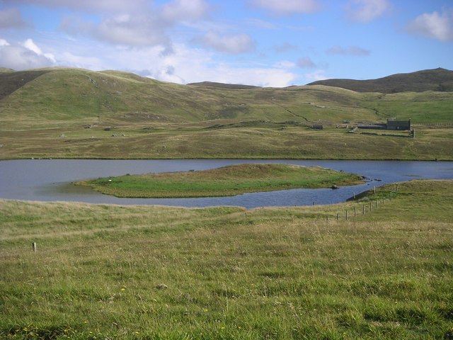
Brough Skerries Images
Images are sourced within 2km of 60.308237/-1.610045 or Grid Reference HU2158. Thanks to Geograph Open Source API. All images are credited.
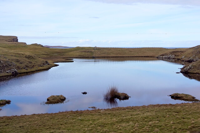


Brough Skerries is located at Grid Ref: HU2158 (Lat: 60.308237, Lng: -1.610045)
Unitary Authority: Shetland Islands
Police Authority: Highlands and Islands
What 3 Words
///cookery.goal.duplicate. Near Walls, Shetland Islands
Nearby Locations
Related Wikis

Bousta
Bousta is a settlement on Mainland, in Shetland, Scotland. Bousta is situated in the parish of Walls and Sandness.Scott's Hawkweed is native to the pastures...

Sandness
Sandness (the "d" is not pronounced locally) is a headland and district in the west of Shetland Mainland, Scotland. Sandness was a civil parish, which...

Forewick Holm
Forewick Holm is a 1-hectare (2.5-acre) island in the Sound of Papa in the Shetland islands, Scotland. Located between Papa Stour and the Sandness peninsula...
Brei Holm
Brei Holm is a tiny tidal islet in the western Shetland Islands. It is due east of Papa Stour, to which it is connected at low tide, just outside Housa...
Have you been to Brough Skerries?
Leave your review of Brough Skerries below (or comments, questions and feedback).