Geo of Quilvataing

Coastal Feature, Headland, Point in Shetland

Scotland

Geo of Quilvataing

Ayre of Melby, Sandness
Ayre of Melby, Sandness Credit: Mike Pennington

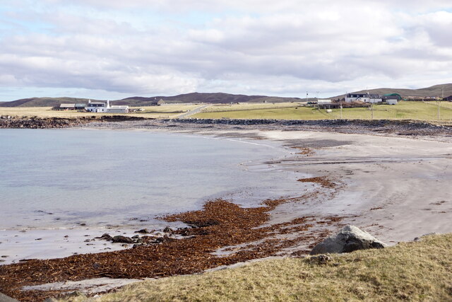
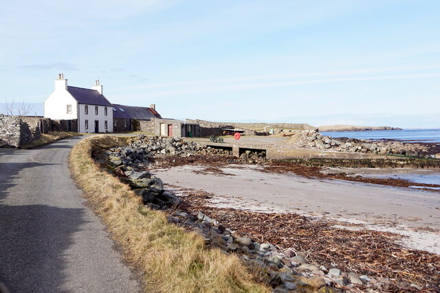
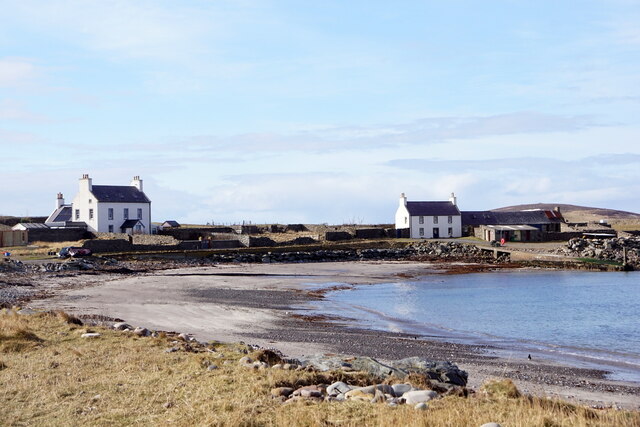
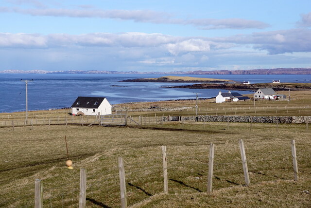
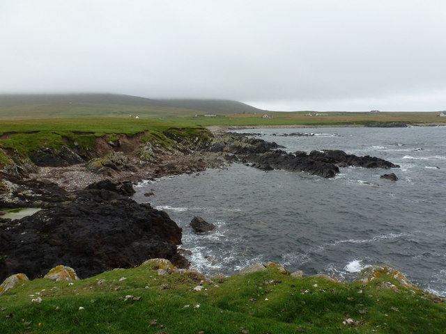
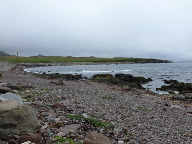
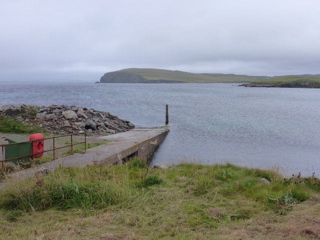
Geo of Quilvataing is a prominent coastal feature located in the Shetland Islands, off the northeastern coast of Scotland. It is a stunning headland that juts out into the North Sea, forming a distinctive and picturesque point along the rugged coastline. The geo is located on the western side of the island of Unst, which is the northernmost inhabited island in the British Isles.

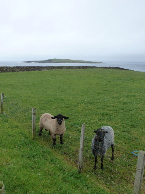
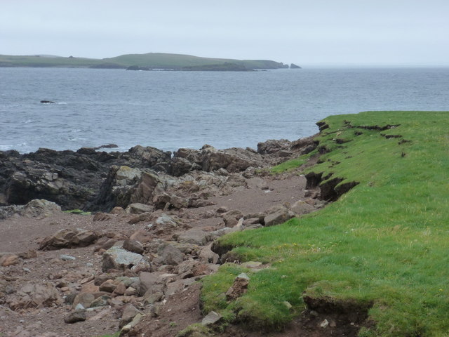
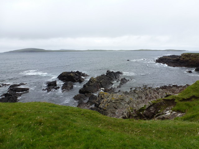
The Geo of Quilvataing is characterized by its steep cliffs, which rise dramatically from the sea below. These cliffs are composed of layers of sedimentary rock, showcasing the geological history of the area. The headland offers breathtaking panoramic views of the surrounding sea, with its crystal-clear waters and abundant wildlife, including seabirds and seals.

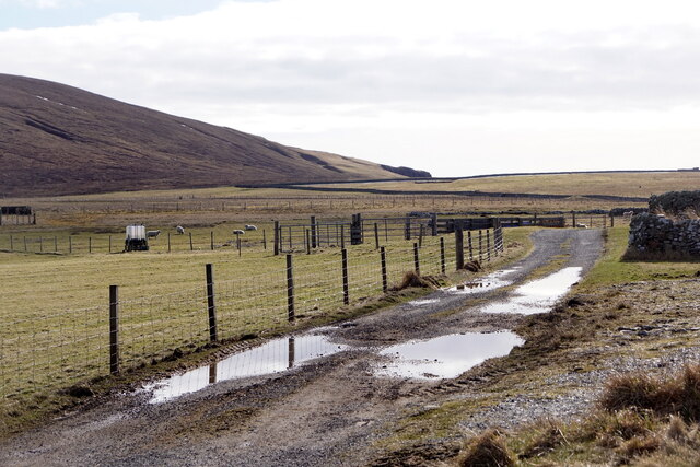
The coastal feature is accessible by a well-defined footpath that leads visitors to the edge of the headland, allowing them to fully appreciate the natural beauty of the area. The path is relatively easy to navigate, although caution is advised due to the steep terrain and potentially strong winds.

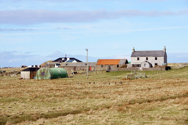
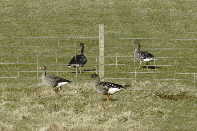
The Geo of Quilvataing is a popular spot for outdoor enthusiasts, nature lovers, and photographers who are drawn to its rugged charm and stunning vistas. It provides an ideal location for birdwatching, coastal walks, and exploring the unique flora and fauna of the Shetland Islands.

Overall, Geo of Quilvataing is a must-visit coastal feature in Shetland, offering a captivating blend of natural beauty, geological significance, and opportunities for outdoor exploration.

If you have any feedback on the listing, please let us know in the comments section below.

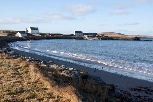
Geo of Quilvataing Images

Images are sourced within 2km of 60.297637/-1.6936055 or Grid Reference HU1757. Thanks to Geograph Open Source API. All images are credited.

Ayre of Melby, Sandness
House by the pier, Melby, Sandness
Ayre of Melby, Sandness
Track at the end of the road, Huxter, Sandness
Papa Stour from Huxter, Sandness
Sandness from Huxter
Tusker, Sandness
Tusker, Sandness
Tundra Bean Goose (Anser serrirostris) with Greylag Geese (Anser anser), Melby
Sandness: two sheep and Holm of Melby These two skittish sheep seemed rather surprised to see me - anyone - joining them on this drab, drizzly Saturday morning. Having just gone through their field and now on the seaward side of the fence, we can look back towards them with Holm of Melby, a small island in the Sound of Papa, in the background.
Sandness: two sheep and Holm of Melby
These two skittish sheep seemed rather surprised to see me - anyone - joining them on this drab, drizzly Saturday morning. Having just gone through their field and now on the seaward side of the fence, we can look back towards them with Holm of Melby, a small island in the Sound of Papa, in the background.
Sandness: rocky shore at Melby The Hill of Melby in the background is shrouded in mist this afternoon.
Sandness: rocky shore at Melby
The Hill of Melby in the background is shrouded in mist this afternoon.
Sandness: coastal erosion at Melby This low grass area alongside the shore has conspicuous evidence of ongoing erosion. The coastal path along here has been redirected inland a little. The eastern end of Papa Stour is in the background.
Sandness: coastal erosion at Melby
This low grass area alongside the shore has conspicuous evidence of ongoing erosion. The coastal path along here has been redirected inland a little. The eastern end of Papa Stour is in the background.
Sandness: view over Papa Stour from Melby Looking across the Sound of Papa from the coastline at Melby; the whole width of the island of Papa Stour pans out in the background.
Sandness: view over Papa Stour from Melby
Looking across the Sound of Papa from the coastline at Melby; the whole width of the island of Papa Stour pans out in the background.
Sandness: bay and pebbly beach A small bay around the western side of Melby, with a stony beach.
Sandness: bay and pebbly beach
A small bay around the western side of Melby, with a stony beach.
Sandness: Melby pier A small pier, more a glorified slipway really, at the end of the A971.
Sandness: Melby pier
A small pier, more a glorified slipway really, at the end of the A971.
Sandness: the shore at Melby Looking along the bay from the pier at Melby; the road is the A971 virtually at its end while the body of water is called Kaila according to the map, separated from the main channel of the Sound of Papa by Holm of Melby, a small island out of picture to the left.
Sandness: the shore at Melby
Looking along the bay from the pier at Melby; the road is the A971 virtually at its end while the body of water is called Kaila according to the map, separated from the main channel of the Sound of Papa by Holm of Melby, a small island out of picture to the left.
Sandness: view along the shore to Melby House Looking towards Melby House (right), the last building on the A971 as it meets the water's edge, and its neighbour.
Sandness: view along the shore to Melby House
Looking towards Melby House (right), the last building on the A971 as it meets the water's edge, and its neighbour.
Melby - The Toilet Facilities Basic but clean .. and open
Melby - The Toilet Facilities
Basic but clean .. and open
Melby beach, Shetland Islands Melby beach and shore, and the old pier, Shetland Islands
Melby beach, Shetland Islands
Melby beach and shore, and the old pier, Shetland Islands
Show me another place!

Geo of Quilvataing is located at Grid Ref: HU1757 (Lat: 60.297637, Lng: -1.6936055)

Unitary Authority: Shetland Islands

Police Authority: Highlands and Islands

What 3 Words

///kiosk.rattler.bench. Near Walls, Shetland Islands

Related Wikis

Papa Stour Airstrip

Papa Stour Airstrip is a small airstrip in the village of Biggings on the island of Papa Stour. Shetland, Scotland. == History == Papa Stour Airstrip opened...

Sandness

Sandness (the "d" is not pronounced locally) is a headland and district in the west of Shetland Mainland, Scotland. Sandness was a civil parish, which...

Forewick Holm

Forewick Holm is a 1-hectare (2.5-acre) island in the Sound of Papa in the Shetland islands, Scotland. Located between Papa Stour and the Sandness peninsula...

Biggings

Biggings is a village on the island of Papa Stour, in Shetland, Scotland. Papa Stour's church is situated at the south of Biggings. A homestead of Duke...

Nearby Amenities

Located within 500m of 60.297637,-1.6936055
Water Mills
Historic: archaeological_site
Lat/Long: 60.2982057/-1.6894441
Huxter
Place: hamlet
Wikidata: Q53996547
Lat/Long: 60.2980493/-1.685745
Ford: yes
Lat/Long: 60.2980567/-1.6893252
Power: pole
Lat/Long: 60.2983519/-1.6858329
The data included in this document is from www.openstreetmap.org. The data is made available under ODbL.

Have you been to Geo of Quilvataing?

Leave your review of Geo of Quilvataing below (or comments, questions and feedback).