Little Hesti Geo
Coastal Feature, Headland, Point in Shetland
Scotland
Little Hesti Geo
Little Hesti Geo is a prominent coastal feature located in the Shetland Islands, an archipelago off the northeast coast of Scotland. Specifically, it is a headland or point that juts out into the North Sea. The name "Hesti Geo" is of Old Norse origin, reflecting the Shetland Islands' historical ties to Viking culture.
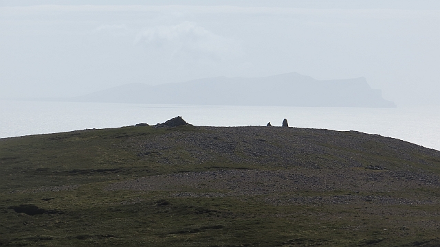
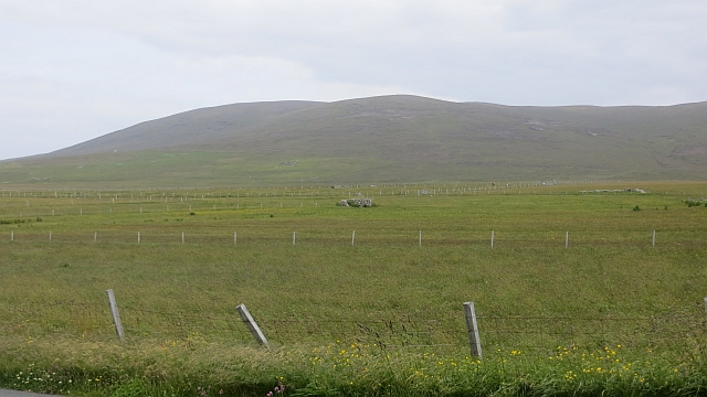
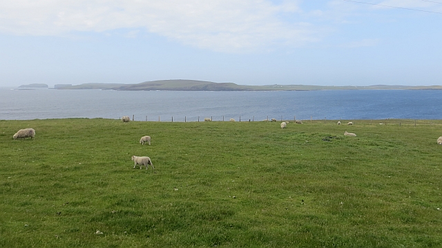
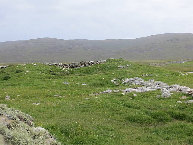
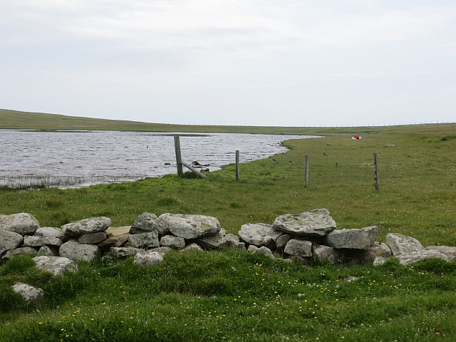
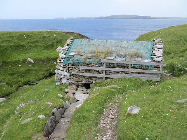
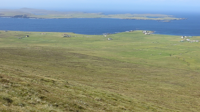
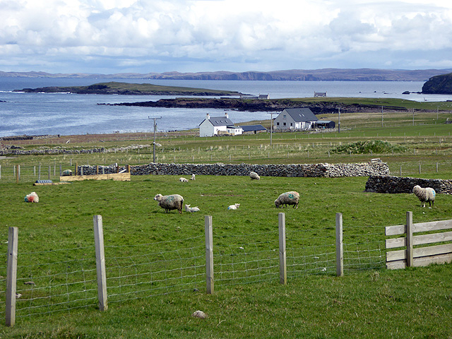
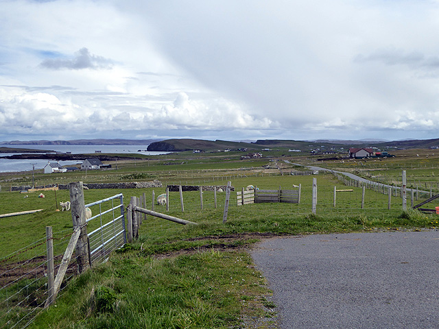
Situated on the eastern coast of the mainland Shetland, Little Hesti Geo offers breathtaking views of the surrounding rugged coastline. It is characterized by steep cliffs that rise dramatically from the sea, reaching heights of approximately 60 meters (197 feet). These cliffs are composed of sedimentary rocks, primarily sandstone and shale, which have been shaped by erosion over millennia.
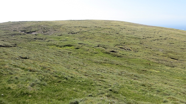
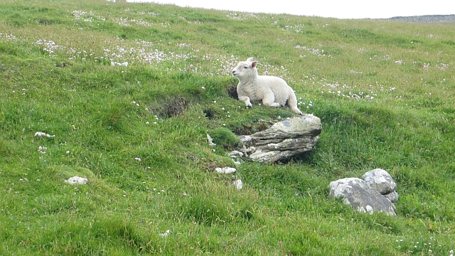
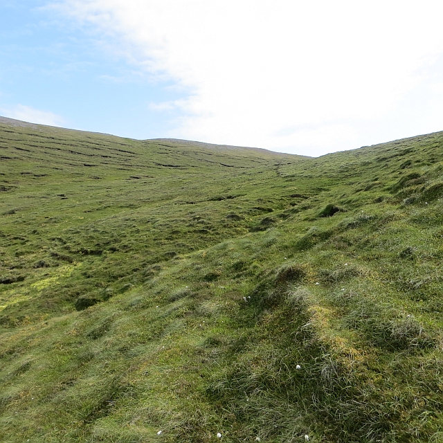
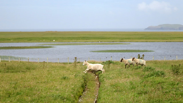
The area around Little Hesti Geo is home to diverse fauna and flora. Birdwatchers are particularly drawn to this spot, as it serves as a nesting site for various seabirds, including puffins, fulmars, and kittiwakes. The headland's vegetation is dominated by hardy grasses and heather, which provide habitat for small mammals and insects.
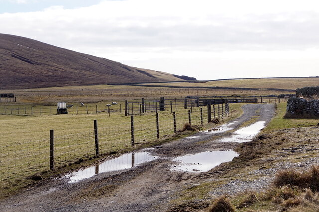
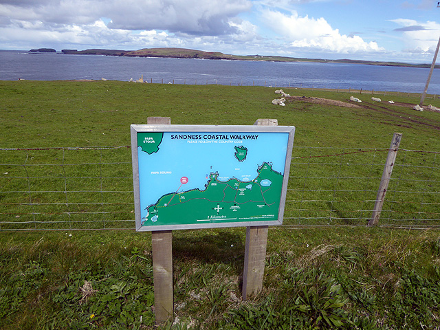
Access to Little Hesti Geo is relatively convenient, with a footpath leading from a nearby road. This footpath allows visitors to explore the headland and admire its natural beauty. However, caution is advised due to the steep cliffs and potentially unstable terrain.
Overall, Little Hesti Geo is a striking coastal feature that showcases the natural splendor of the Shetland Islands. Its rugged cliffs, diverse wildlife, and captivating views make it a popular destination for nature enthusiasts and photographers alike.
If you have any feedback on the listing, please let us know in the comments section below.
Little Hesti Geo Images
Images are sourced within 2km of 60.282709/-1.6950289 or Grid Reference HU1655. Thanks to Geograph Open Source API. All images are credited.


Little Hesti Geo is located at Grid Ref: HU1655 (Lat: 60.282709, Lng: -1.6950289)
Unitary Authority: Shetland Islands
Police Authority: Highlands and Islands
What 3 Words
///clinic.desk.behind. Near Walls, Shetland Islands
Nearby Locations
Related Wikis

Sandness
Sandness (the "d" is not pronounced locally) is a headland and district in the west of Shetland Mainland, Scotland. Sandness was a civil parish, which...

Papa Stour Airstrip
Papa Stour Airstrip is a small airstrip in the village of Biggings on the island of Papa Stour. Shetland, Scotland. == History == Papa Stour Airstrip opened...

Forewick Holm
Forewick Holm is a 1-hectare (2.5-acre) island in the Sound of Papa in the Shetland islands, Scotland. Located between Papa Stour and the Sandness peninsula...

Biggings
Biggings is a village on the island of Papa Stour, in Shetland, Scotland. Papa Stour's church is situated at the south of Biggings. A homestead of Duke...
Have you been to Little Hesti Geo?
Leave your review of Little Hesti Geo below (or comments, questions and feedback).