Breihellier Point
Coastal Feature, Headland, Point in Shetland
Scotland
Breihellier Point
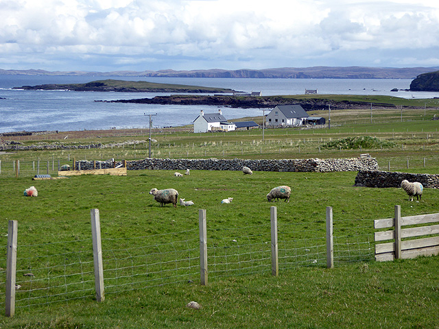
Breihellier Point is a prominent coastal feature located in the Shetland Islands, Scotland. Situated on the southwestern coast of the mainland, it is a headland that extends into the North Sea. The point is known for its rugged cliffs, dramatic scenery, and diverse wildlife.
At approximately 100 meters in height, Breihellier Point offers breathtaking views of the surrounding landscape. The cliffs are composed of ancient rock formations, primarily consisting of sandstone and granite, which have been shaped by centuries of coastal erosion. This erosion has created fascinating geological features, such as sea caves and arches, which can be explored by adventurous visitors.
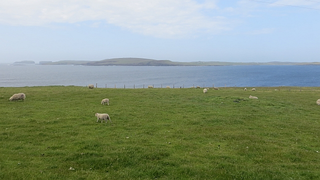
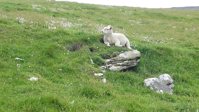
The headland is also a haven for wildlife enthusiasts, as it provides important nesting grounds for various seabirds, including puffins, guillemots, and razorbills. The surrounding waters are teeming with marine life, making it a popular spot for birdwatching and fishing. Grey seals can often be seen basking on the rocks, while otters are known to frequent the nearby shores.
Breihellier Point is easily accessible by both land and sea. A coastal path leads visitors to the point, winding through heather-covered moorland and offering panoramic views along the way. Boat trips are also available, providing an alternative perspective of the impressive cliffs and the chance to spot seals and seabird colonies.
Whether you are a nature lover, an adventurer seeking stunning vistas, or simply looking to immerse yourself in the natural beauty of the Shetland Islands, Breihellier Point is a must-visit destination that encapsulates the wild and untamed spirit of the region.
If you have any feedback on the listing, please let us know in the comments section below.
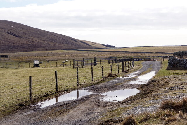
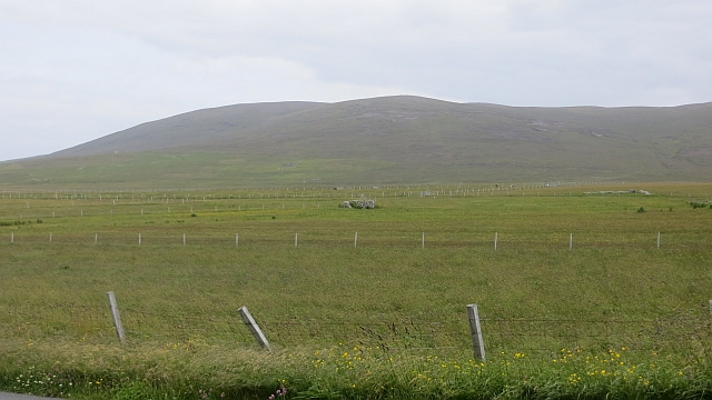
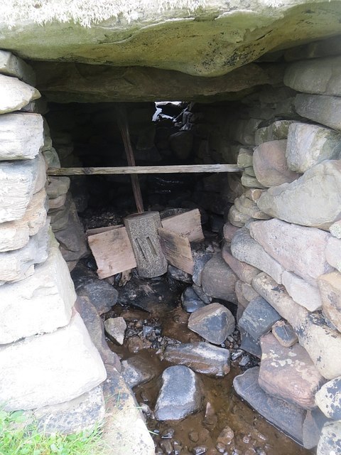
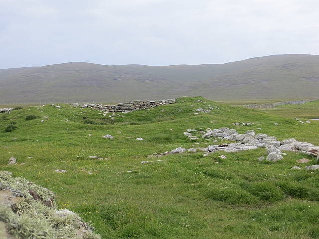
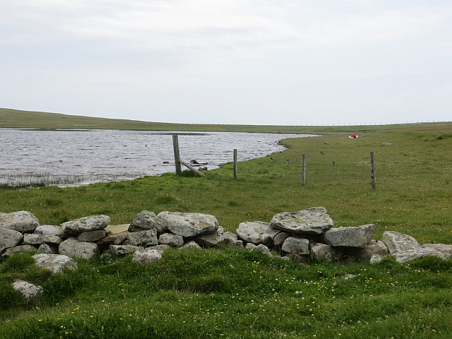
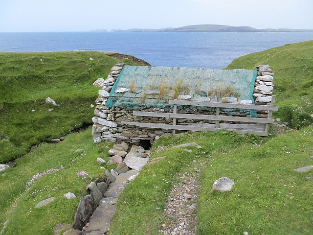
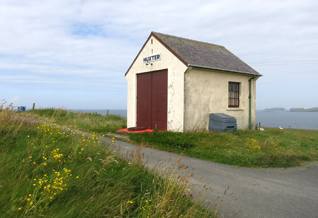
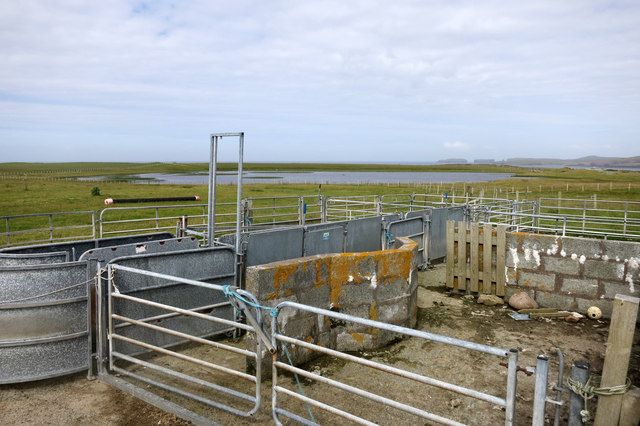
Breihellier Point Images
Images are sourced within 2km of 60.283483/-1.6999403 or Grid Reference HU1655. Thanks to Geograph Open Source API. All images are credited.


Breihellier Point is located at Grid Ref: HU1655 (Lat: 60.283483, Lng: -1.6999403)
Unitary Authority: Shetland Islands
Police Authority: Highlands and Islands
What 3 Words
///rips.thousands.ferrying. Near Walls, Shetland Islands
Nearby Locations
Related Wikis

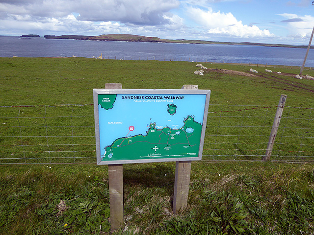
Sandness
Sandness (the "d" is not pronounced locally) is a headland and district in the west of Shetland Mainland, Scotland. Sandness was a civil parish, which...

Papa Stour Airstrip
Papa Stour Airstrip is a small airstrip in the village of Biggings on the island of Papa Stour. Shetland, Scotland. == History == Papa Stour Airstrip opened...

Forewick Holm
Forewick Holm is a 1-hectare (2.5-acre) island in the Sound of Papa in the Shetland islands, Scotland. Located between Papa Stour and the Sandness peninsula...

Biggings
Biggings is a village on the island of Papa Stour, in Shetland, Scotland. Papa Stour's church is situated at the south of Biggings. A homestead of Duke...
Have you been to Breihellier Point?
Leave your review of Breihellier Point below (or comments, questions and feedback).