Brockhampton, Lower
Settlement in Dorset
England
Brockhampton, Lower
Brockhampton is a small village located in the county of Dorset, in the southwest of England. Situated in the picturesque area known as the Lower Dorset, this quaint village is surrounded by rolling hills and a tranquil countryside setting.
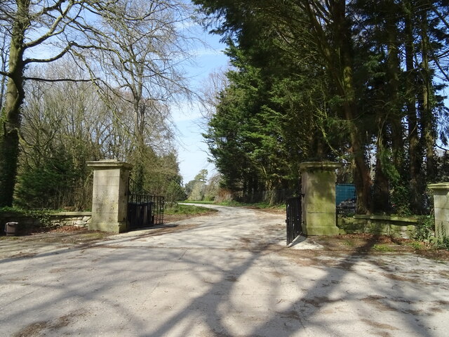
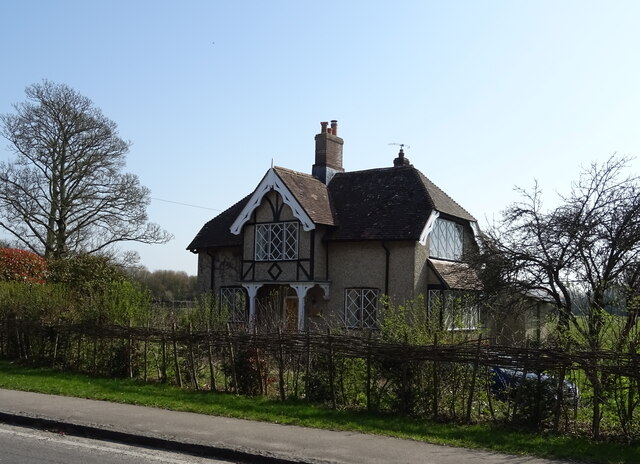
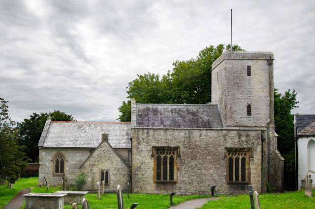
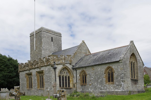
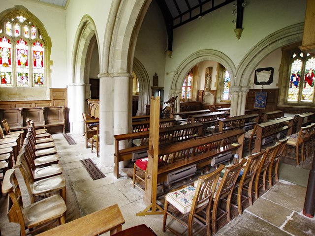
The village of Brockhampton is known for its charming and traditional English architecture, with many of its buildings dating back several centuries. The village center consists of a few small shops, a local pub, and a village hall, creating a close-knit community atmosphere.
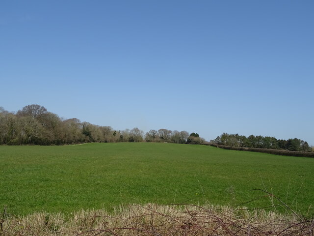
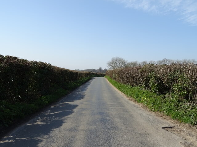
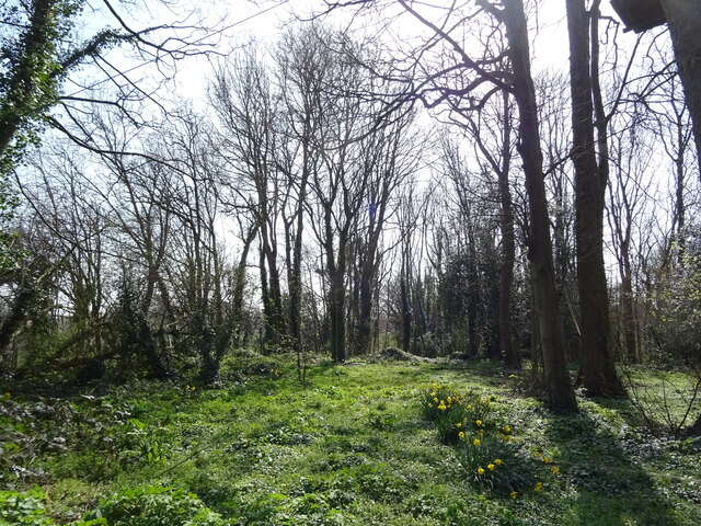
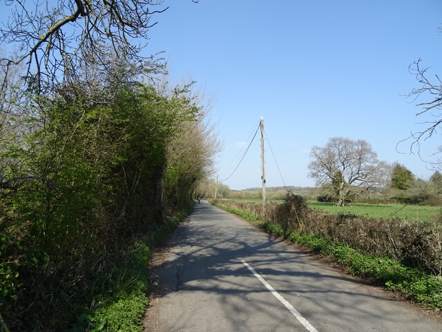
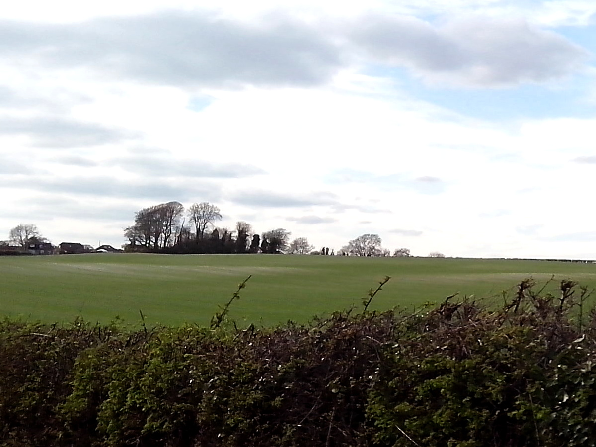
The natural beauty of the surrounding area is a major draw for visitors to Brockhampton. The village is nestled within the Dorset Area of Outstanding Natural Beauty, offering stunning views and plenty of opportunities for outdoor activities. Hiking and cycling trails crisscross the countryside, allowing visitors to explore the idyllic landscapes at their own pace.
One of the notable attractions in Brockhampton is the nearby Iron Age hillfort known as Hambledon Hill. This ancient site offers a glimpse into the area's rich history and provides panoramic views of the surrounding countryside.
Although small in size, Brockhampton's residents take pride in their community and actively participate in local events and activities. The village hosts an annual summer fair, bringing together locals and visitors for a day of festivities and entertainment.
Overall, Brockhampton is a charming village that offers a peaceful retreat from city life. Its natural beauty, historical sites, and strong sense of community make it an ideal destination for those seeking a tranquil and authentic English countryside experience.
If you have any feedback on the listing, please let us know in the comments section below.
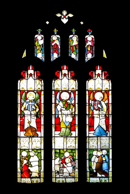
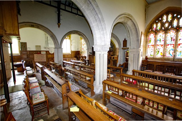
Brockhampton, Lower Images
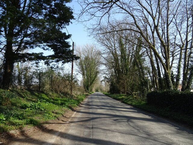
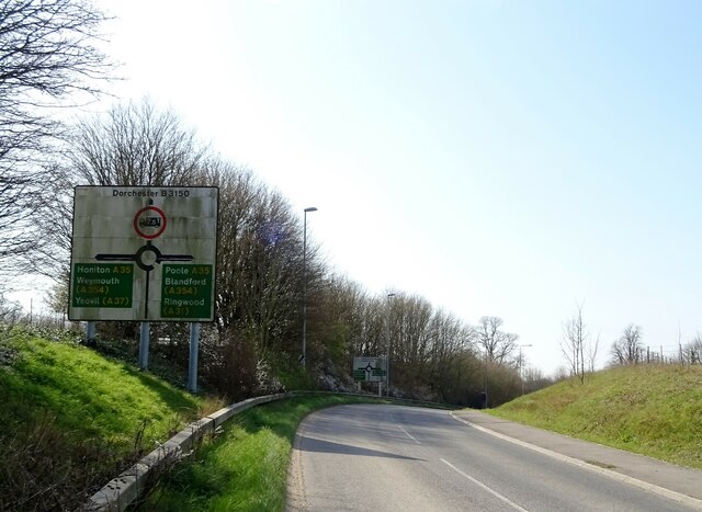
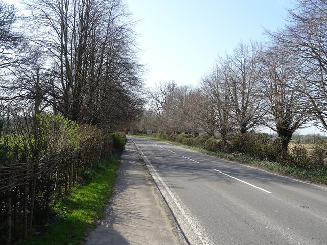
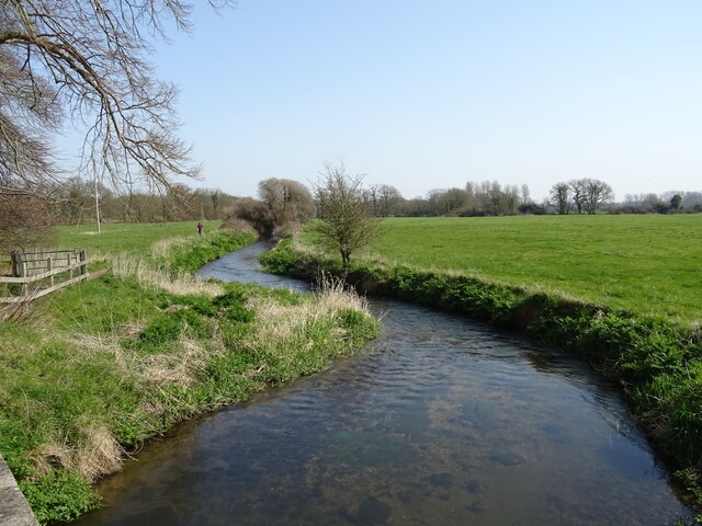
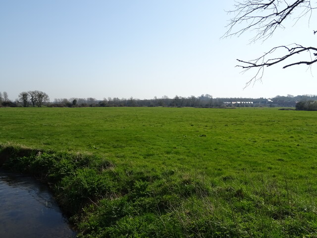
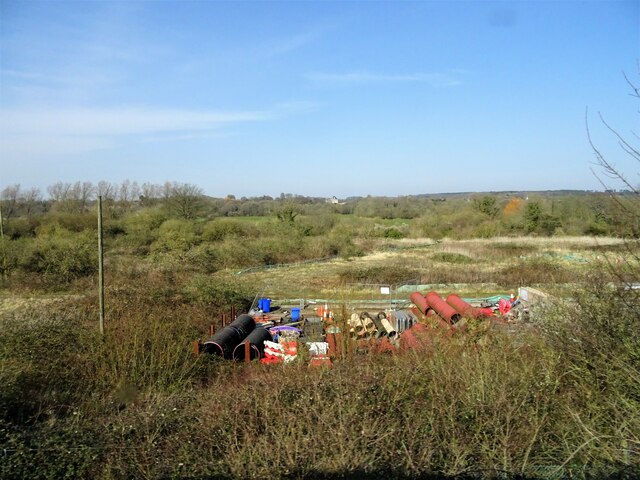
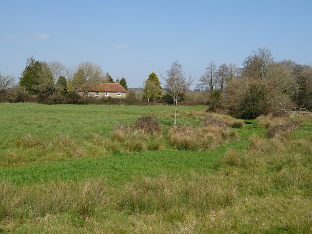
Images are sourced within 2km of 50.708955/-2.3979105 or Grid Reference SY7290. Thanks to Geograph Open Source API. All images are credited.
Brockhampton, Lower is located at Grid Ref: SY7290 (Lat: 50.708955, Lng: -2.3979105)
Unitary Authority: Dorset
Police Authority: Dorset
What 3 Words
///duplicity.cosmic.represent. Near Dorchester, Dorset
Nearby Locations
Related Wikis

Frome Billet
Frome Billet is a former village in Dorset, just to the north of West Stafford.It is mentioned in the Domesday Book. There is slight archaeological evidence...

West Stafford
West Stafford is a village and civil parish in southwest Dorset, England, situated in the Frome valley 2 miles (3.2 km) east of Dorchester. In the 2011...
Mount Pleasant henge
Mount Pleasant henge is a Neolithic henge enclosure in the English county of Dorset. It lies southeast of Dorchester in the civil parish of West Stafford...
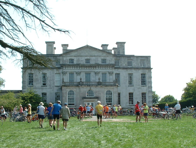
Kingston Maurward House
Kingston Maurward House is a large Grade I listed Georgian English country house set in a 750-acre (3 square km) estate in Dorset situated in the Frome...
Nearby Amenities
Located within 500m of 50.708955,-2.3979105Have you been to Brockhampton, Lower?
Leave your review of Brockhampton, Lower below (or comments, questions and feedback).