Lower Broadheath
Settlement in Worcestershire Malvern Hills
England
Lower Broadheath
Lower Broadheath is a quaint village located in the county of Worcestershire, England. Situated approximately 4 miles west of the city of Worcester, it is nestled in a picturesque rural setting. The village is primarily residential, with a population of around 1,000 residents.
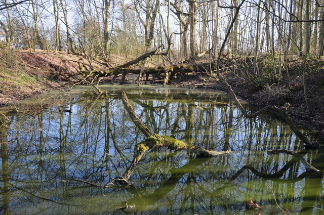
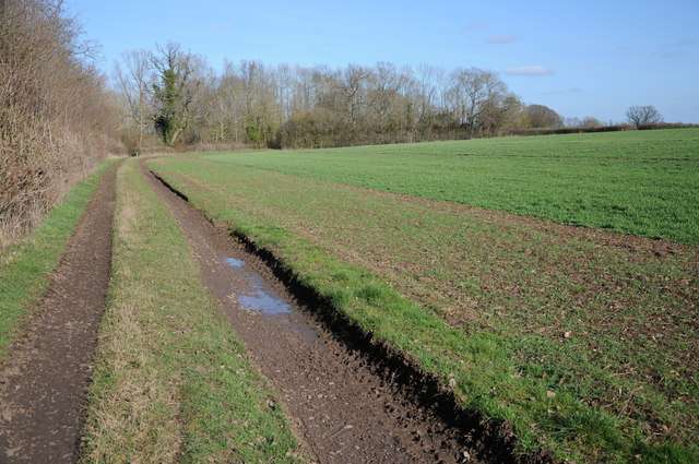
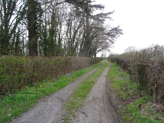
Lower Broadheath is known for its charming and peaceful atmosphere, making it an ideal place for those seeking a tranquil lifestyle. The village is surrounded by beautiful countryside, featuring rolling hills, meandering streams, and lush green fields. This scenic environment offers ample opportunities for outdoor activities such as walking, cycling, and horse riding.
The village itself is relatively small but boasts a close-knit community. It has a range of amenities including a post office, a village hall, and a local pub, providing residents with essential services and a sense of community spirit. The nearby city of Worcester offers a wider range of amenities, including shops, restaurants, and cultural attractions.
Lower Broadheath is notable for being the birthplace of one of England's most renowned composers, Sir Edward Elgar. Visitors can explore the Elgar Birthplace Museum, which provides an insight into the life and works of this musical genius. The museum is housed in the cottage where Elgar was born and offers a fascinating journey through his personal and professional life.
Overall, Lower Broadheath is a charming village that offers a peaceful and idyllic lifestyle, surrounded by stunning natural beauty and rich cultural heritage.
If you have any feedback on the listing, please let us know in the comments section below.
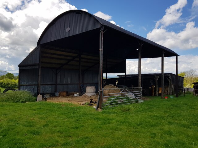
Lower Broadheath Images
Images are sourced within 2km of 52.212658/-2.276586 or Grid Reference SO8157. Thanks to Geograph Open Source API. All images are credited.


Lower Broadheath is located at Grid Ref: SO8157 (Lat: 52.212658, Lng: -2.276586)
Administrative County: Worcestershire
District: Malvern Hills
Police Authority: West Mercia
What 3 Words
///pursuit.wanting.sweetened. Near Lower Broadheath, Worcestershire
Nearby Locations
Related Wikis

Lower Broadheath
Lower Broadheath is a village and civil parish in the Malvern Hills district of Worcestershire, England. According to the 2011 census it had a population...
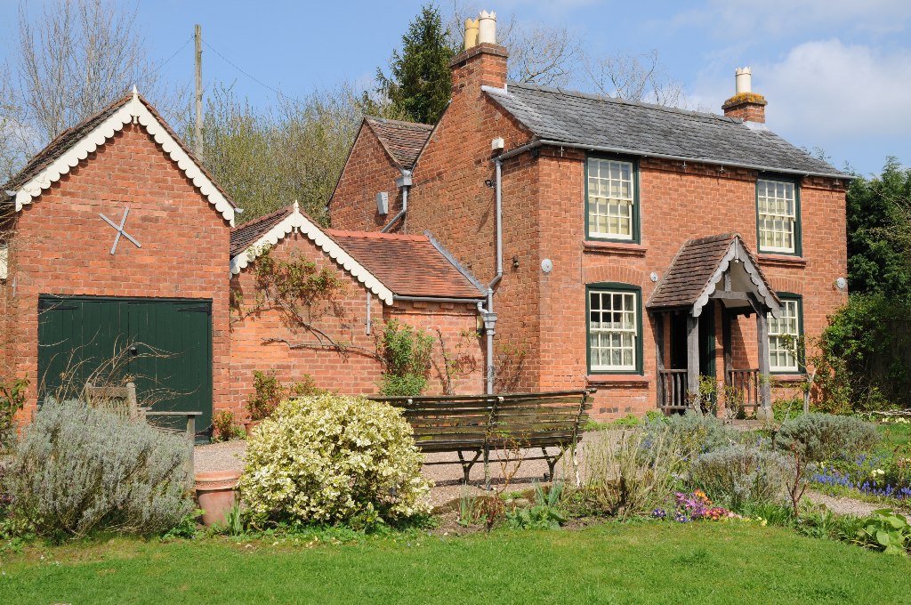
Elgar Birthplace Museum
The Firs in Lower Broadheath, Worcestershire, England was the birthplace of Edward Elgar. The cottage now houses a museum administered by the National...

Upper Broadheath
Upper Broadheath is an area in the village of Lower Broadheath. It is not a separate village. Worcestershire, England. It is in the Malvern Hills District...
1 and 2 Tai Cochion
1 and 2 Tai Cochion consists of a pair of joined cottages in the village of Nannerch, Flintshire, Wales. Each of the cottages is designated by Cadw as...
Nearby Amenities
Located within 500m of 52.212658,-2.276586Have you been to Lower Broadheath?
Leave your review of Lower Broadheath below (or comments, questions and feedback).