Watt's Gwight
Coastal Feature, Headland, Point in Aberdeenshire
Scotland
Watt's Gwight
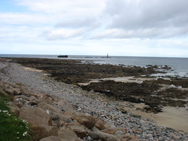
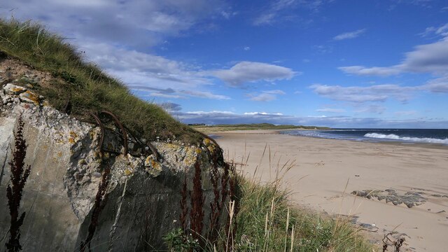
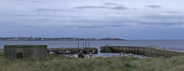
Watt's Gwight is a prominent coastal feature located in Aberdeenshire, Scotland. It is a headland that juts out into the North Sea, forming a distinct point along the coastline. The name "Watt's Gwight" is derived from Old Norse, with "Gwight" meaning a narrow, elongated area of land and "Watt" believed to be a personal name.
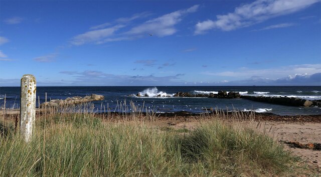
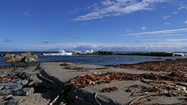
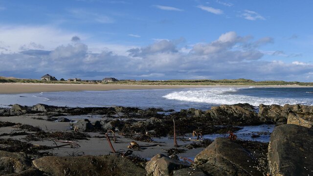
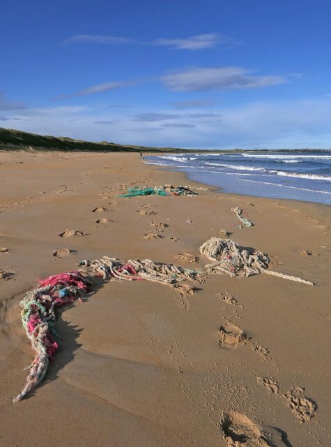
The headland offers breathtaking views of the surrounding area, with rugged cliffs and rocky outcrops that have been shaped by centuries of erosion and coastal processes. The cliffs rise steeply from the sea, providing a dramatic backdrop to the crashing waves below. Visitors to Watt's Gwight can witness the power of the ocean firsthand, as waves crash against the cliffs and create a mesmerizing spectacle.
The area is a haven for wildlife enthusiasts, as it supports a diverse range of flora and fauna. Seabird colonies can be found nesting on the cliffs, including species such as fulmars, kittiwakes, and guillemots. The rocky shores provide a habitat for various marine organisms, with rock pools revealing a fascinating array of sea creatures at low tide.
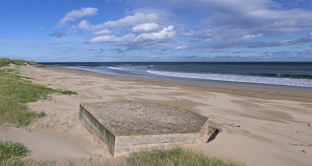
Watt's Gwight is also of historical significance, with archaeological evidence suggesting human occupation in the area since prehistoric times. The headland's strategic location made it an ideal site for defensive structures, and remnants of ancient fortifications can still be seen today.
Overall, Watt's Gwight is a captivating coastal feature that showcases the raw beauty of Aberdeenshire's coastline. Its stunning views, diverse wildlife, and historical significance make it a must-visit location for nature enthusiasts and history buffs alike.
If you have any feedback on the listing, please let us know in the comments section below.
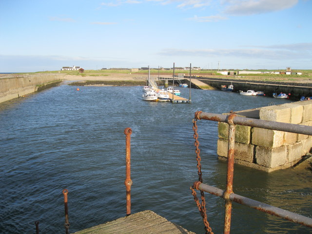
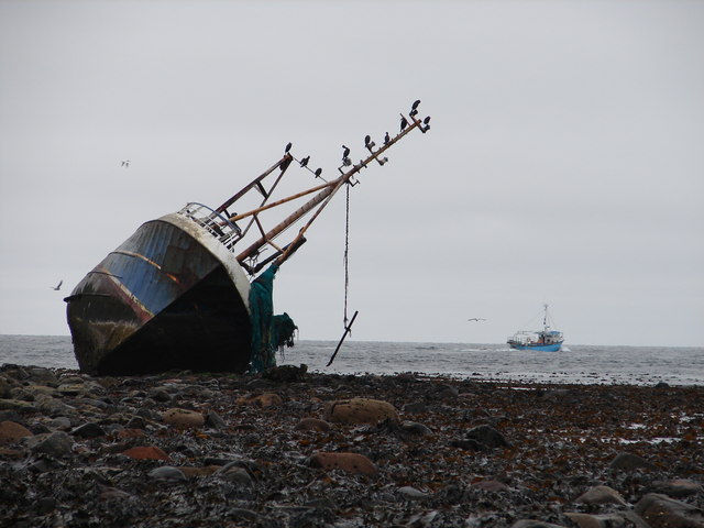
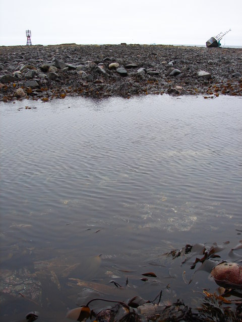
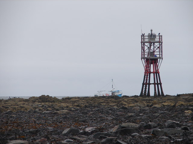
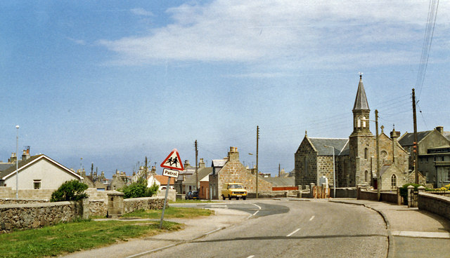
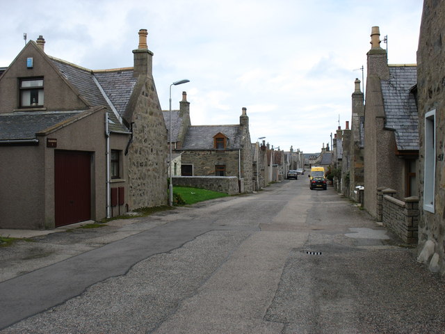
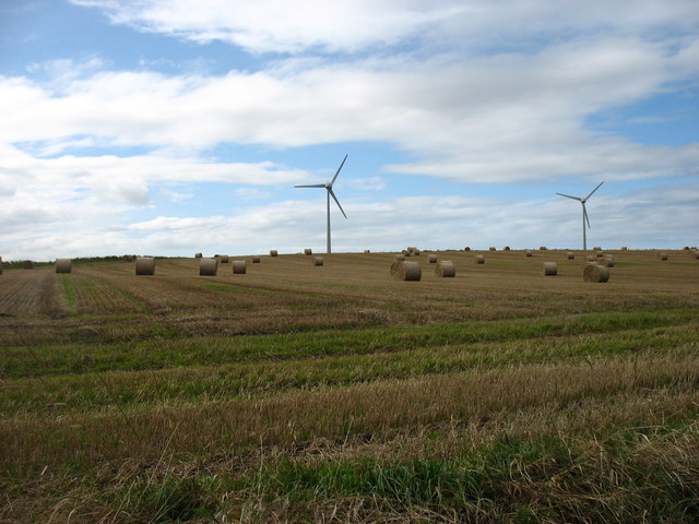
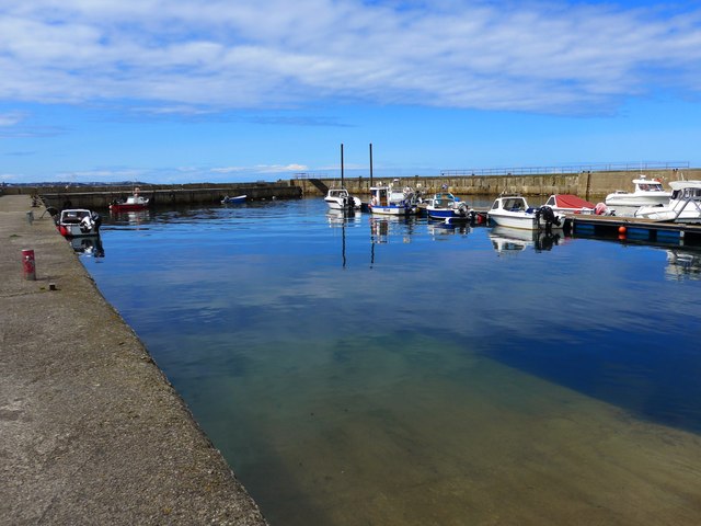
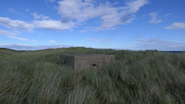
Watt's Gwight Images
Images are sourced within 2km of 57.676084/-1.9250247 or Grid Reference NK0465. Thanks to Geograph Open Source API. All images are credited.
Watt's Gwight is located at Grid Ref: NK0465 (Lat: 57.676084, Lng: -1.9250247)
Unitary Authority: Aberdeenshire
Police Authority: North East
What 3 Words
///quality.plays.compress. Near Fraserburgh, Aberdeenshire
Nearby Locations
Related Wikis
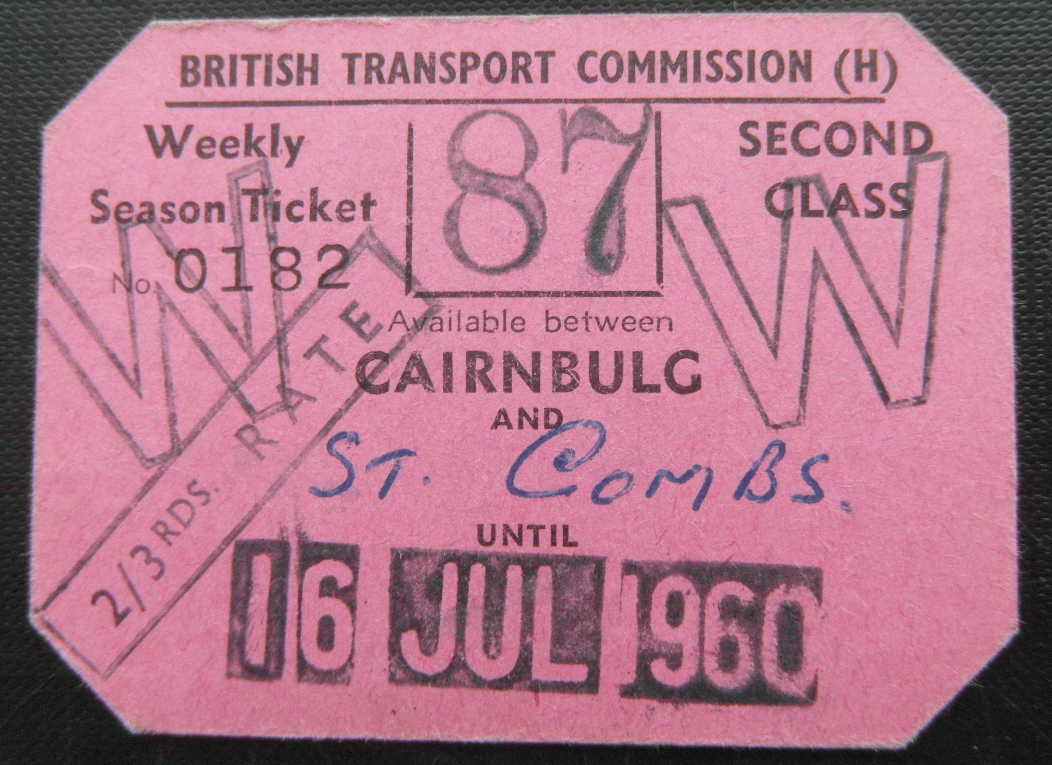
Cairnbulg railway station
Cairnbulg railway station was a station on the Fraserburgh and St Combs Light Railway, Aberdeenshire. It was opened in 1903 as Inverallochy and was renamed...

Inverallochy and Cairnbulg
The villages of Inverallochy (Scottish Gaelic: Inbhir Aileachaidh) and Cairnbulg (from the Gaelic càrn builg meaning 'gap cairn') lie some 4 miles (6.4...

RAF Fraserburgh
Royal Air Force Fraserburgh, or more simply RAF Fraserburgh, is a former Royal Air Force satellite station located in Aberdeenshire, Scotland, 3.2 miles...
St Combs railway station
St. Combs railway station was a station on the Fraserburgh and St Combs Light Railway, Aberdeenshire. It was opened on 1 July 1903 and stood 5 1⁄8 miles...
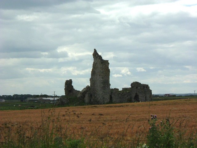
Inverallochy Castle
Inverallochy Castle is a ruined courtyard castle, near the village of Inverallochy in the Buchan area of North-East Scotland, dating to 1504. It lies 0...

St Combs
St Combs is a small fishing village in Aberdeenshire, Scotland, immediately southeast of Inverallochy. It has existed since at least the 17th century,...
Philorth Bridge Halt railway station
Philorth Bridge Halt railway station, not to be confused with Philorth railway station on the old Formartine and Buchan Railway, was a request stop on...

Cairnbulg Castle
Cairnbulg Castle is a z-plan castle situated in Cairnbulg, Aberdeenshire, Scotland. It was described by W. Douglas Simpson as one of the nine castles of...
Nearby Amenities
Located within 500m of 57.676084,-1.9250247Have you been to Watt's Gwight?
Leave your review of Watt's Gwight below (or comments, questions and feedback).