Janet's Craig
Coastal Feature, Headland, Point in Aberdeenshire
Scotland
Janet's Craig
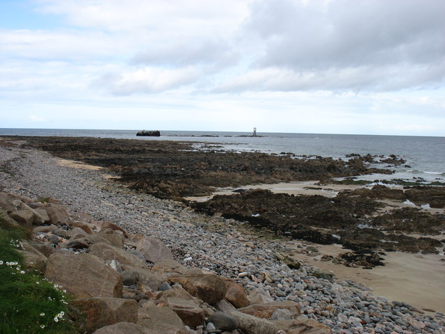
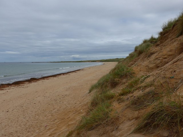
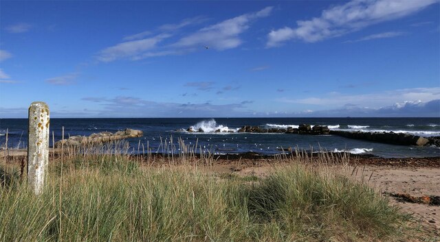
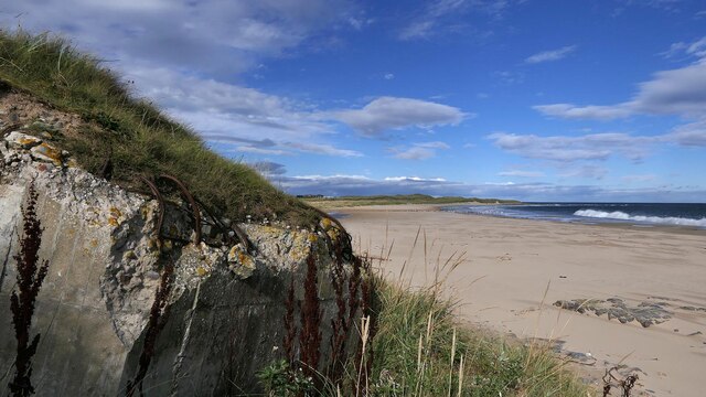
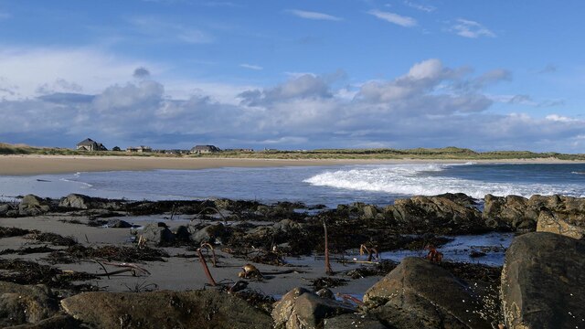
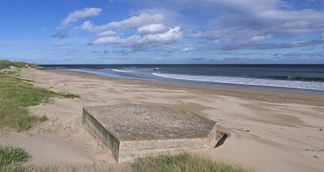
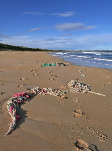
Janet's Craig is a prominent coastal feature located in Aberdeenshire, Scotland. It is a headland that juts out into the North Sea, forming a distinctive point along the coastline. With its rugged cliffs and breathtaking views, Janet's Craig is a popular destination for nature lovers and outdoor enthusiasts.
The headland is named after Janet, a local legend who was said to have been a witch in the 17th century. According to the folklore, Janet met her demise on this very spot when she was accused of practicing witchcraft and was pushed off the cliff into the sea. The name "Craig" is derived from the Scottish Gaelic word for rock, which accurately describes the rocky terrain that characterizes this headland.
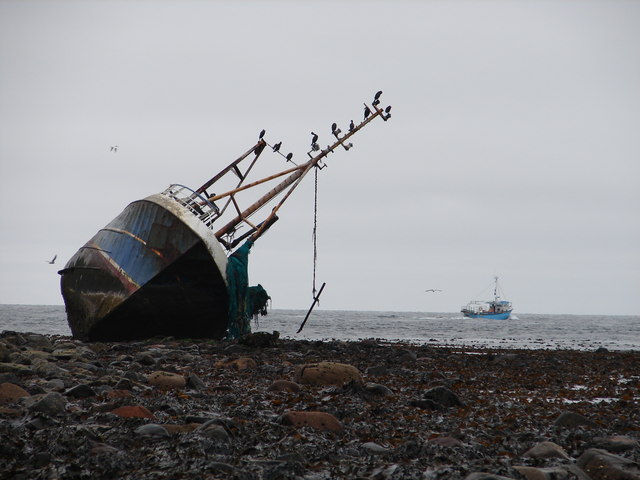
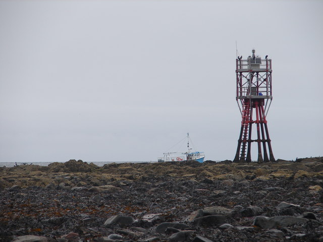
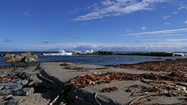
Standing at the edge of Janet's Craig offers panoramic views of the surrounding area. On a clear day, visitors can see the vast expanse of the North Sea and the distant horizon. The cliffs that line the headland are composed of sedimentary rock formations, providing a glimpse into the geological history of the region.
Aside from its natural beauty, Janet's Craig is also home to a diverse array of flora and fauna. The headland provides a habitat for various bird species, including seabirds such as gulls and cormorants. Wildflowers can also be found dotting the landscape, adding bursts of color to the rugged coastal scenery.
Overall, Janet's Craig is a captivating coastal feature that showcases the raw beauty of Aberdeenshire's coastline. Whether visitors are drawn to its intriguing folklore, stunning views, or diverse wildlife, this headland offers a truly memorable experience for all who venture to its shores.
If you have any feedback on the listing, please let us know in the comments section below.
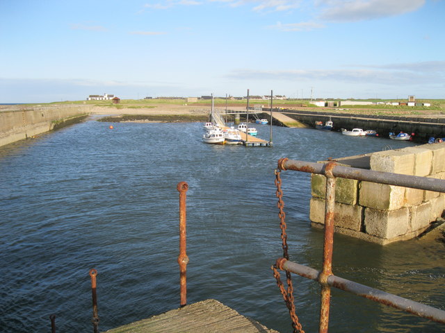
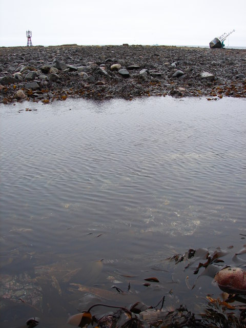
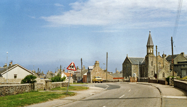
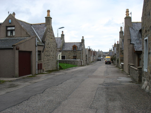
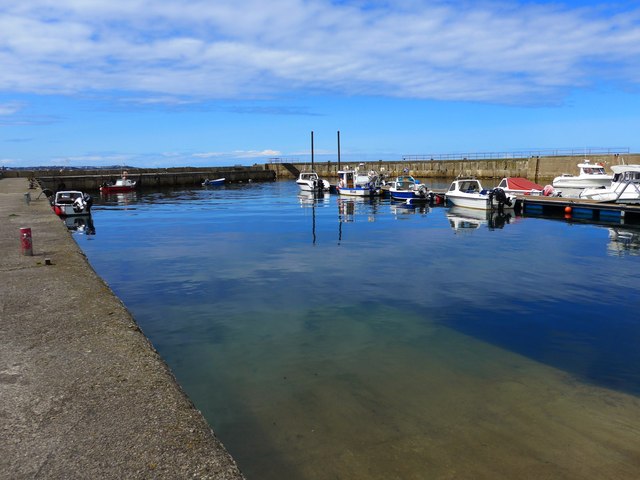
Janet's Craig Images
Images are sourced within 2km of 57.678721/-1.9337048 or Grid Reference NK0465. Thanks to Geograph Open Source API. All images are credited.

Janet's Craig is located at Grid Ref: NK0465 (Lat: 57.678721, Lng: -1.9337048)
Unitary Authority: Aberdeenshire
Police Authority: North East
What 3 Words
///princes.soccer.fond. Near Fraserburgh, Aberdeenshire
Nearby Locations
Related Wikis
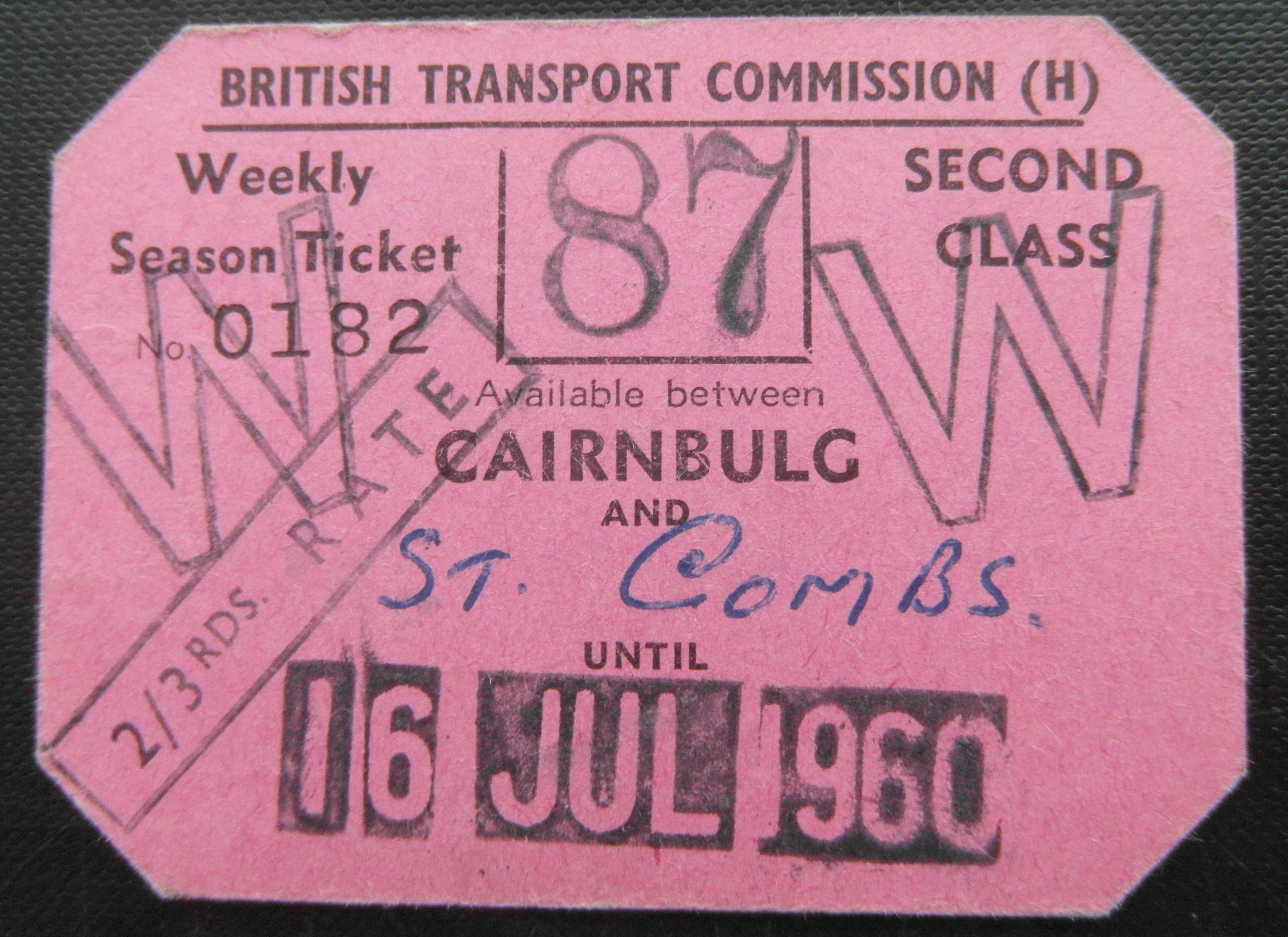
Cairnbulg railway station
Cairnbulg railway station was a station on the Fraserburgh and St Combs Light Railway, Aberdeenshire. It was opened in 1903 as Inverallochy and was renamed...

Inverallochy and Cairnbulg
The villages of Inverallochy (Scottish Gaelic: Inbhir Aileachaidh) and Cairnbulg (from the Gaelic càrn builg meaning 'gap cairn') lie some 4 miles (6.4...

RAF Fraserburgh
Royal Air Force Fraserburgh, or more simply RAF Fraserburgh, is a former Royal Air Force satellite station located in Aberdeenshire, Scotland, 3.2 miles...
Philorth Bridge Halt railway station
Philorth Bridge Halt railway station, not to be confused with Philorth railway station on the old Formartine and Buchan Railway, was a request stop on...
Nearby Amenities
Located within 500m of 57.678721,-1.9337048Have you been to Janet's Craig?
Leave your review of Janet's Craig below (or comments, questions and feedback).