Inverallochy
Settlement in Aberdeenshire
Scotland
Inverallochy
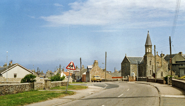
Inverallochy is a small coastal village located in Aberdeenshire, Scotland. Situated on the eastern coast of the country, it lies approximately 45 miles north of the city of Aberdeen. The village is nestled between the larger towns of Fraserburgh and Peterhead, which are both within a short driving distance.
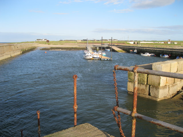
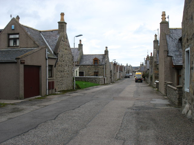
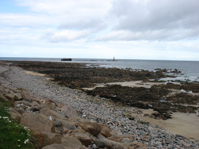
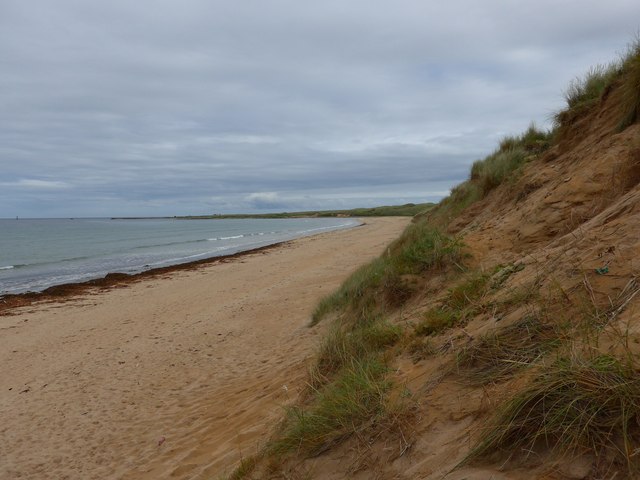
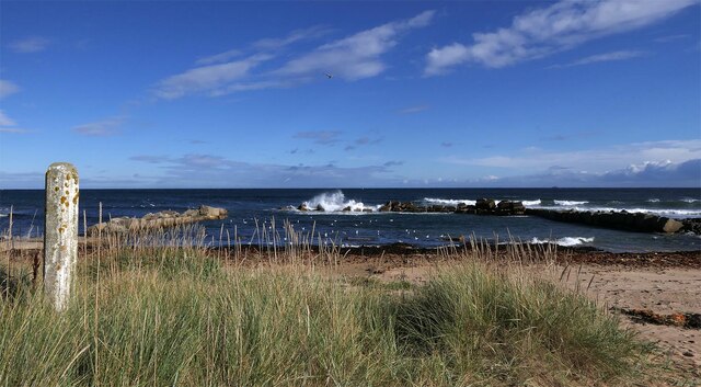
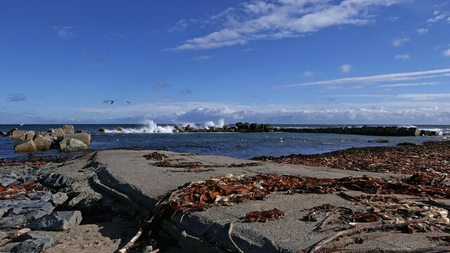
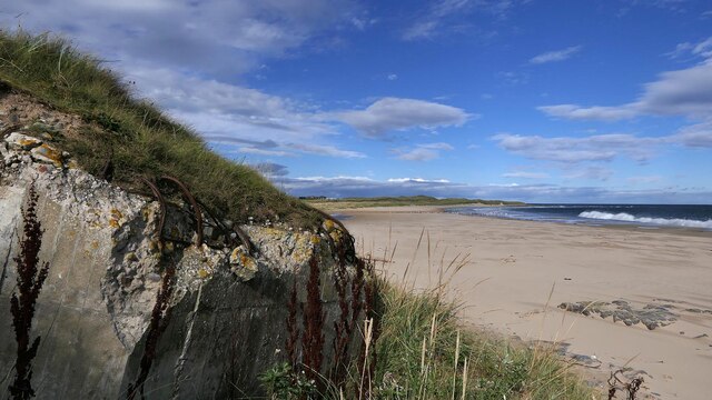
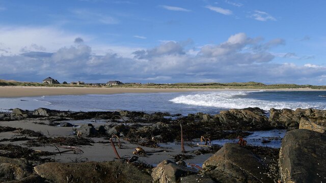
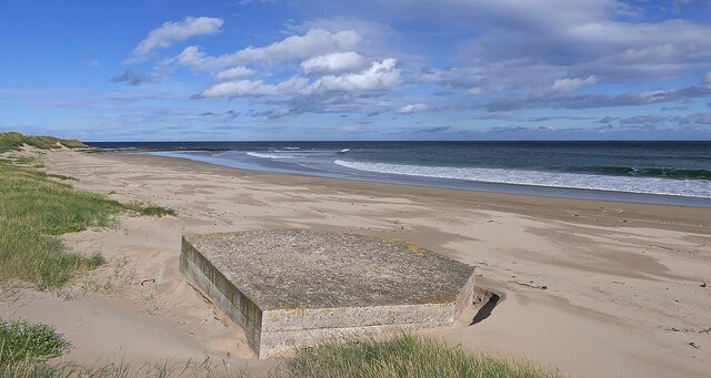
With a population of around 1,200 residents, Inverallochy offers a tight-knit community atmosphere. The village is known for its picturesque surroundings, including stunning views of the North Sea and the nearby sand dunes. The beach, known as Inverallochy Bay, is a popular spot for both locals and tourists, offering opportunities for relaxing walks, picnics, and water sports.
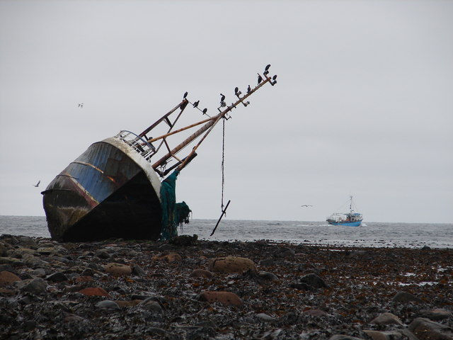
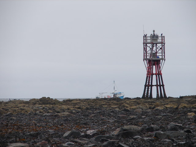
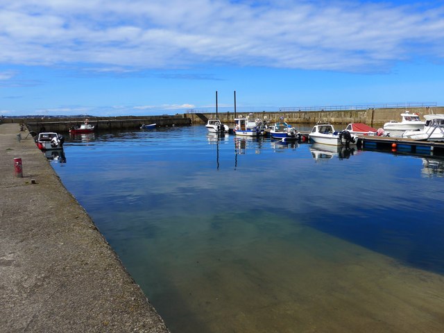
Inverallochy has a rich history, with evidence of human settlement dating back to prehistoric times. The village was once a thriving fishing community, and remnants of its maritime heritage can still be seen today. The fishing industry has since declined, but Inverallochy maintains its connection to the sea through recreational activities like angling and sailing.
The village itself is charming, with a mix of traditional and modern buildings. It offers a range of amenities, including a primary school, a local shop, and a pub. Inverallochy is well-connected to surrounding areas by road and public transportation, making it easily accessible for both residents and visitors.
Overall, Inverallochy is a tranquil coastal village that offers a peaceful and scenic retreat from the bustling cities. With its natural beauty and friendly community, it is a hidden gem worth exploring in Aberdeenshire.
If you have any feedback on the listing, please let us know in the comments section below.
Inverallochy Images
Images are sourced within 2km of 57.675825/-1.930886 or Grid Reference NK0465. Thanks to Geograph Open Source API. All images are credited.
Inverallochy is located at Grid Ref: NK0465 (Lat: 57.675825, Lng: -1.930886)
Unitary Authority: Aberdeenshire
Police Authority: North East
What 3 Words
///stunner.stopwatch.pasta. Near Fraserburgh, Aberdeenshire
Nearby Locations
Related Wikis
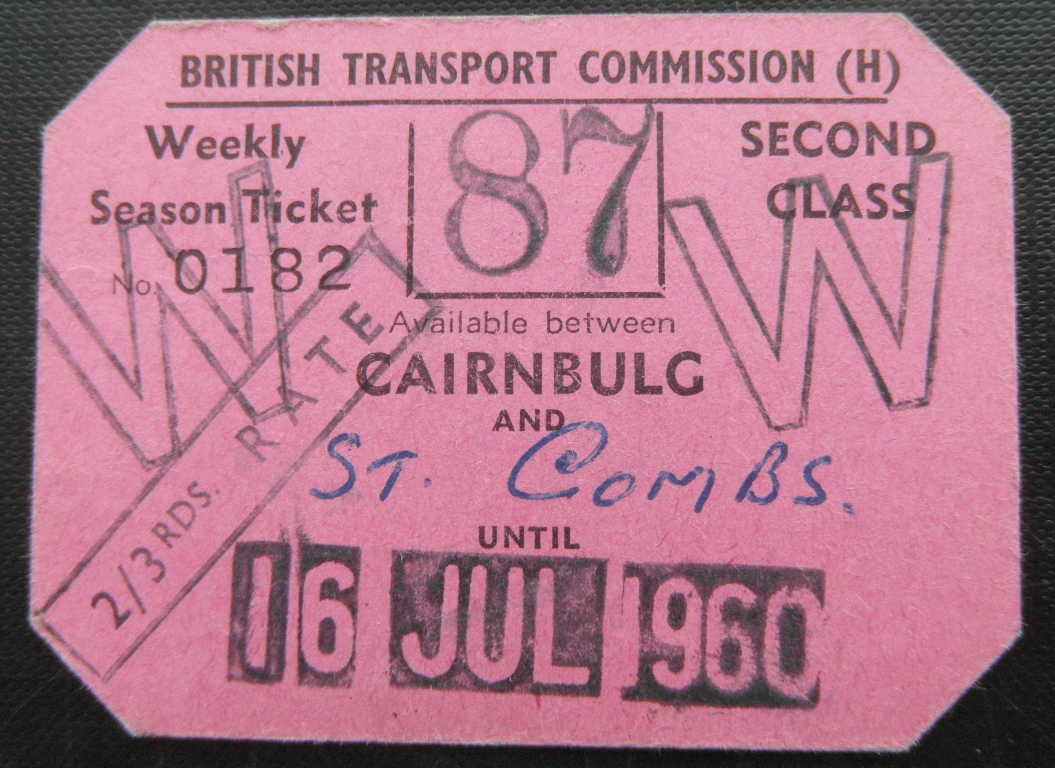
Cairnbulg railway station
Cairnbulg railway station was a station on the Fraserburgh and St Combs Light Railway, Aberdeenshire. It was opened in 1903 as Inverallochy and was renamed...

Inverallochy and Cairnbulg
The villages of Inverallochy (Scottish Gaelic: Inbhir Aileachaidh) and Cairnbulg (from the Gaelic càrn builg meaning 'gap cairn') lie some 4 miles (6.4...

RAF Fraserburgh
Royal Air Force Fraserburgh, or more simply RAF Fraserburgh, is a former Royal Air Force satellite station located in Aberdeenshire, Scotland, 3.2 miles...
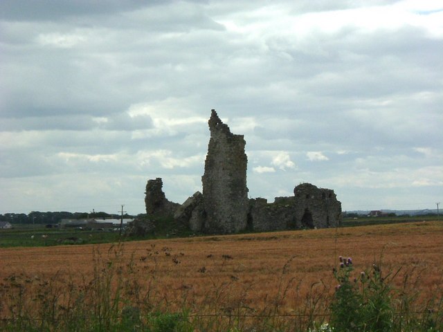
Inverallochy Castle
Inverallochy Castle is a ruined courtyard castle, near the village of Inverallochy in the Buchan area of North-East Scotland, dating to 1504. It lies 0...
Philorth Bridge Halt railway station
Philorth Bridge Halt railway station, not to be confused with Philorth railway station on the old Formartine and Buchan Railway, was a request stop on...
St Combs railway station
St. Combs railway station was a station on the Fraserburgh and St Combs Light Railway, Aberdeenshire. It was opened on 1 July 1903 and stood 5 1⁄8 miles...

St Combs
St Combs is a small fishing village in Aberdeenshire, Scotland, immediately southeast of Inverallochy. It has existed since at least the 17th century,...

Cairnbulg Castle
Cairnbulg Castle is a z-plan castle situated in Cairnbulg, Aberdeenshire, Scotland. It was described by W. Douglas Simpson as one of the nine castles of...
Nearby Amenities
Located within 500m of 57.675825,-1.930886Have you been to Inverallochy?
Leave your review of Inverallochy below (or comments, questions and feedback).