Little Lake
Sea, Estuary, Creek in Aberdeenshire
Scotland
Little Lake
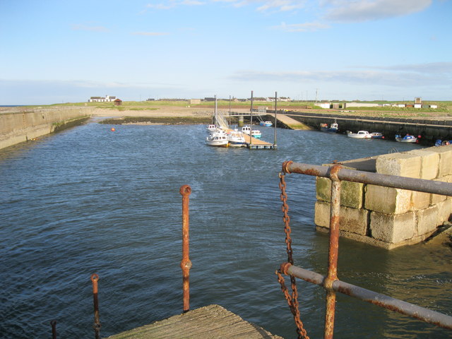
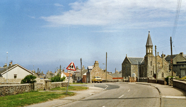
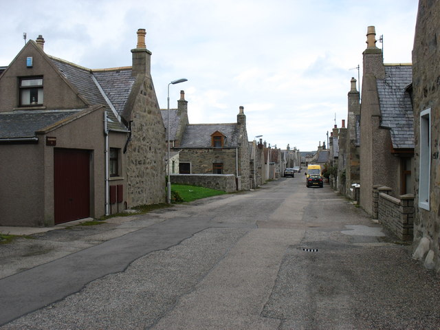
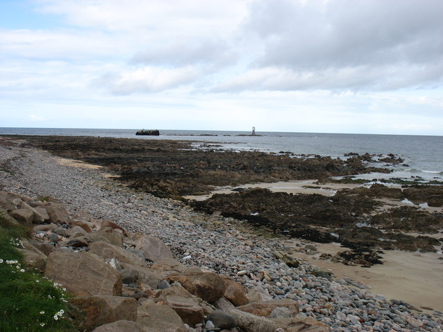
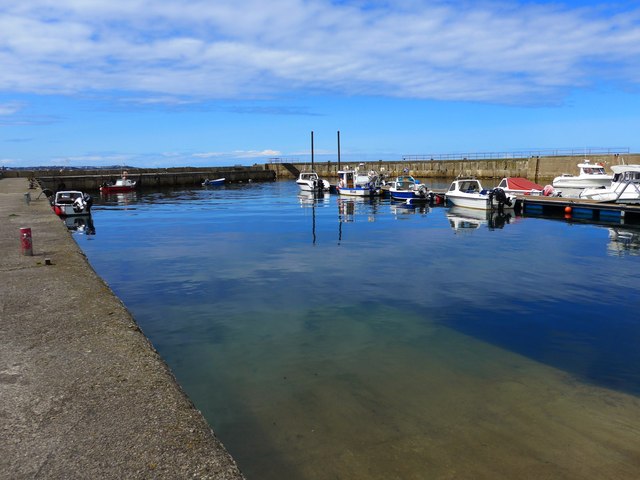
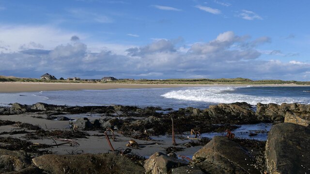
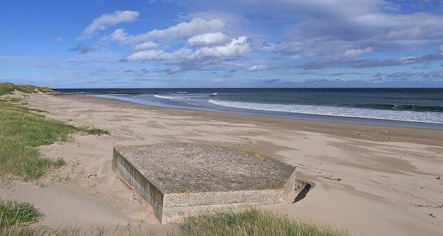
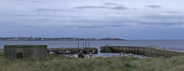
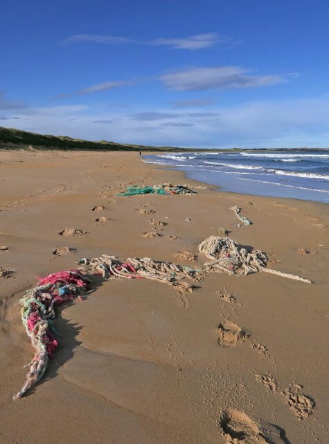
Little Lake is a picturesque body of water located in Aberdeenshire, Scotland. It is a small sea inlet commonly referred to as an estuary or creek. The lake is situated at the mouth of the River Dee, where it meets the North Sea.
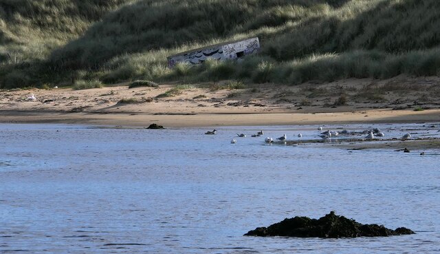
With its stunning natural beauty and tranquil surroundings, Little Lake has become a popular destination for locals and tourists alike. The estuary boasts a diverse ecosystem, providing a habitat for a wide variety of bird species, including herons, ducks, and geese. Birdwatchers flock to the area to observe these magnificent creatures in their natural habitat.
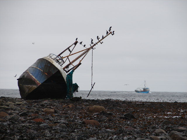
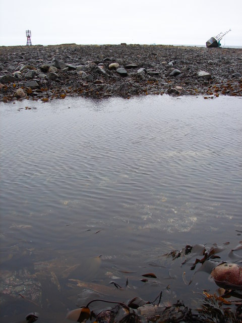
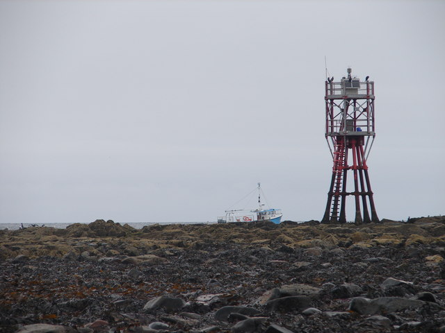
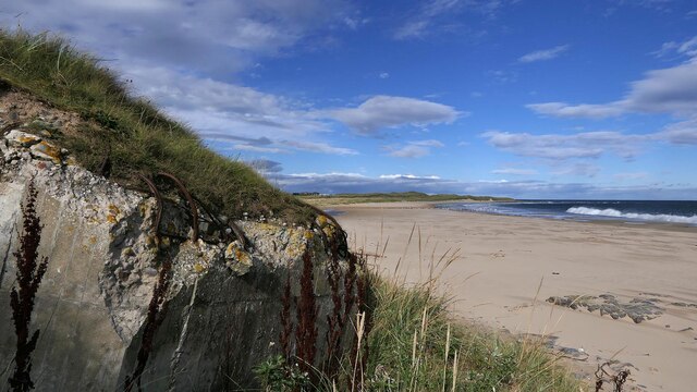
The surrounding landscape is characterized by rolling hills, rugged cliffs, and sandy beaches. The area is also home to a rich marine life, with seals frequently spotted basking in the sun on the rocks. The intertidal mudflats of the estuary provide an important feeding ground for migratory birds, making it an important site for conservation and ecological research.
Visitors to Little Lake can enjoy a range of activities, including walking along the sandy shores, exploring the nearby nature reserves, or simply taking in the breathtaking views. The estuary also offers opportunities for water-based activities such as kayaking and sailing.
Little Lake, Aberdeenshire is a place of natural beauty and tranquility, offering visitors a chance to immerse themselves in the stunning Scottish landscape and observe the diverse wildlife that calls this estuary home.
If you have any feedback on the listing, please let us know in the comments section below.
Little Lake Images
Images are sourced within 2km of 57.677432/-1.9257596 or Grid Reference NK0465. Thanks to Geograph Open Source API. All images are credited.
Little Lake is located at Grid Ref: NK0465 (Lat: 57.677432, Lng: -1.9257596)
Unitary Authority: Aberdeenshire
Police Authority: North East
What 3 Words
///revise.stilted.wiggly. Near Fraserburgh, Aberdeenshire
Nearby Locations
Related Wikis
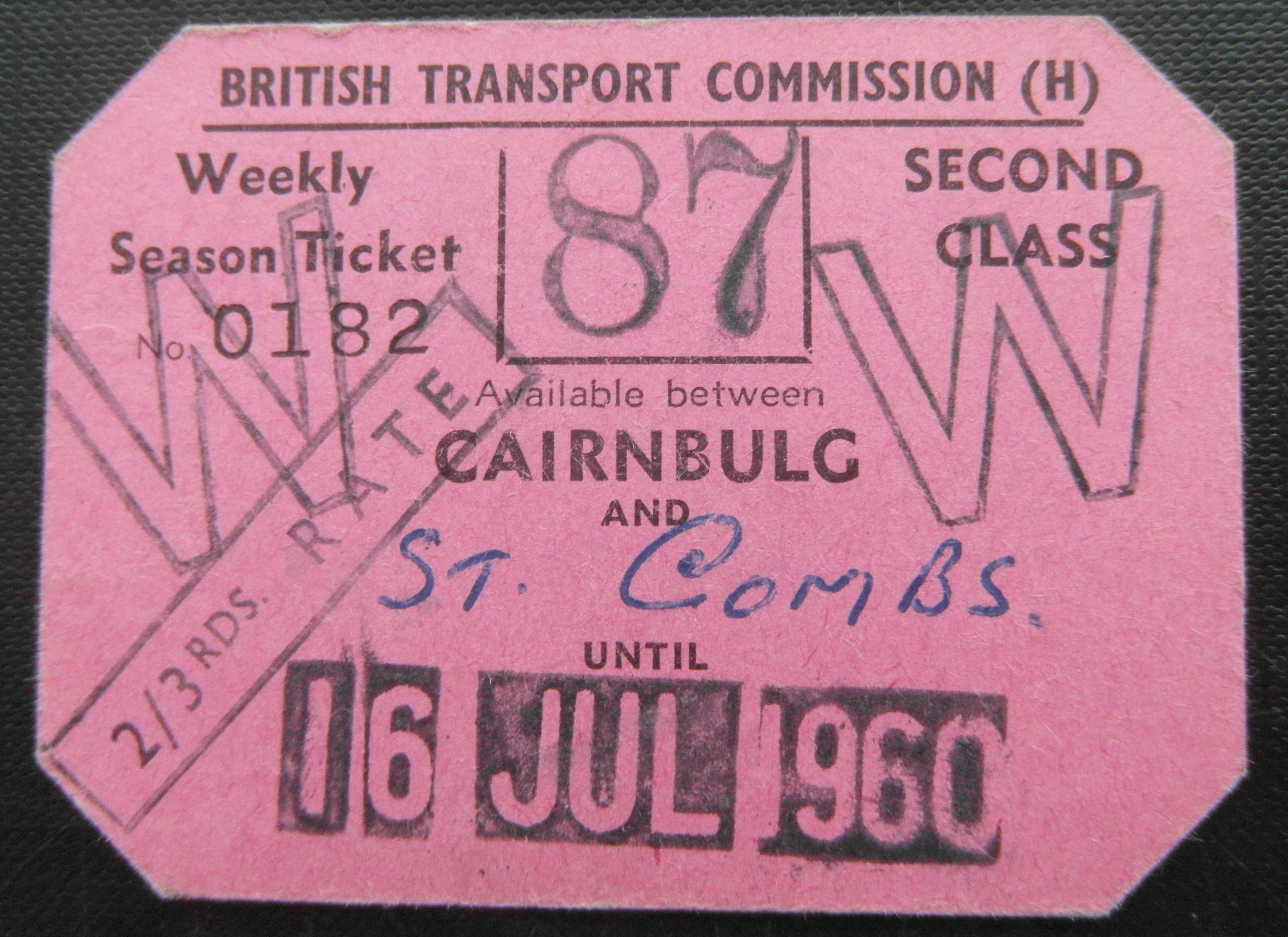
Cairnbulg railway station
Cairnbulg railway station was a station on the Fraserburgh and St Combs Light Railway, Aberdeenshire. It was opened in 1903 as Inverallochy and was renamed...

Inverallochy and Cairnbulg
The villages of Inverallochy (Scottish Gaelic: Inbhir Aileachaidh) and Cairnbulg (from the Gaelic càrn builg meaning 'gap cairn') lie some 4 miles (6.4...

RAF Fraserburgh
Royal Air Force Fraserburgh, or more simply RAF Fraserburgh, is a former Royal Air Force satellite station located in Aberdeenshire, Scotland, 3.2 miles...
St Combs railway station
St. Combs railway station was a station on the Fraserburgh and St Combs Light Railway, Aberdeenshire. It was opened on 1 July 1903 and stood 5 1⁄8 miles...
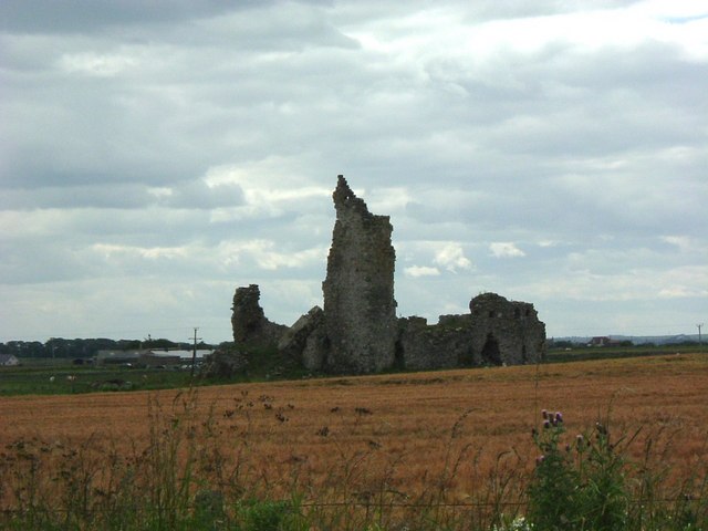
Inverallochy Castle
Inverallochy Castle is a ruined courtyard castle, near the village of Inverallochy in the Buchan area of North-East Scotland, dating to 1504. It lies 0...

St Combs
St Combs is a small fishing village in Aberdeenshire, Scotland, immediately southeast of Inverallochy. It has existed since at least the 17th century,...
Philorth Bridge Halt railway station
Philorth Bridge Halt railway station, not to be confused with Philorth railway station on the old Formartine and Buchan Railway, was a request stop on...

Cairnbulg Castle
Cairnbulg Castle is a z-plan castle situated in Cairnbulg, Aberdeenshire, Scotland. It was described by W. Douglas Simpson as one of the nine castles of...
Nearby Amenities
Located within 500m of 57.677432,-1.9257596Have you been to Little Lake?
Leave your review of Little Lake below (or comments, questions and feedback).