Yellow Ledge
Coastal Feature, Headland, Point in Dorset
England
Yellow Ledge
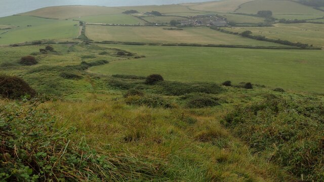
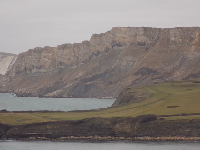
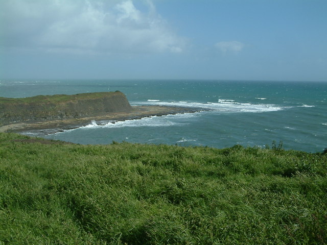
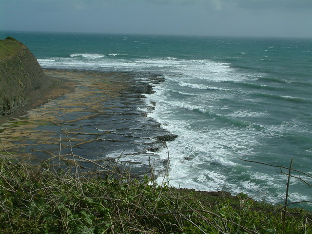
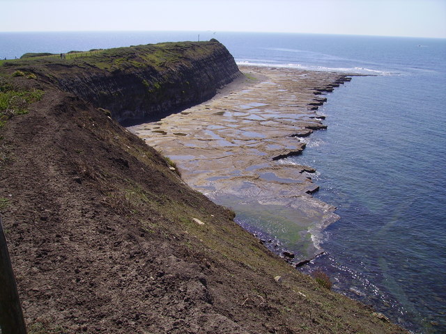
Yellow Ledge is a prominent coastal feature located in the county of Dorset, England. Situated on the southern coast of the county, it is specifically found on the eastern side of the popular tourist destination, Lulworth Cove. As a headland and point, Yellow Ledge stands as a distinct geological formation that captures the attention of visitors and geologists alike.
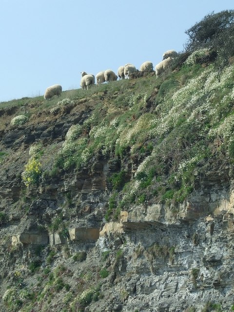
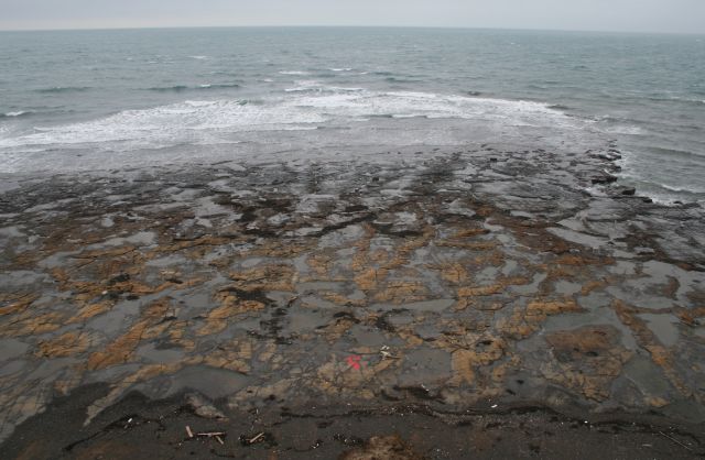
The name "Yellow Ledge" is derived from the distinct yellowish color of the limestone cliffs that make up the headland. These cliffs are composed of mostly Jurassic-age limestone, which is rich in fossil remains, offering a glimpse into the area's ancient history. The headland is characterized by its steep sides, rising to a height of approximately 100 feet (30 meters) above sea level.
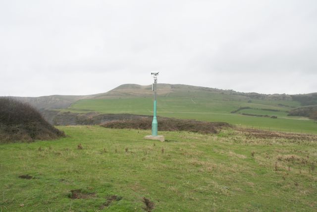
From Yellow Ledge, visitors can enjoy breathtaking panoramic views of the English Channel, Lulworth Cove, and the surrounding Jurassic Coastline, which is a UNESCO World Heritage Site. The headland also provides an excellent vantage point for observing the unique rock formations found in the area, such as the distinctive Durdle Door.
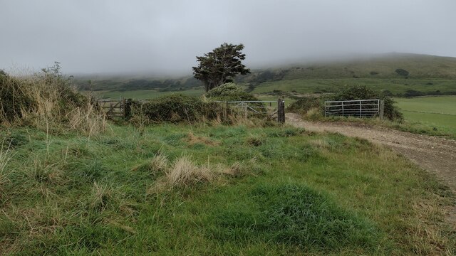
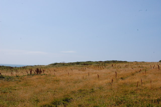
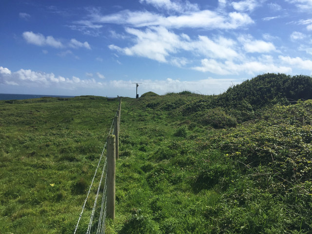
Yellow Ledge is a popular destination for hikers and nature enthusiasts, who can explore the surrounding trails and coastal paths that offer stunning views and opportunities to observe wildlife. The area is home to a diverse range of flora and fauna, including seabirds, wildflowers, and marine life.
Overall, Yellow Ledge serves as a significant coastal feature and point of interest in Dorset, offering visitors the chance to experience the natural beauty and geological wonders of the region.
If you have any feedback on the listing, please let us know in the comments section below.
Yellow Ledge Images
Images are sourced within 2km of 50.603353/-2.125823 or Grid Reference SY9178. Thanks to Geograph Open Source API. All images are credited.


Yellow Ledge is located at Grid Ref: SY9178 (Lat: 50.603353, Lng: -2.125823)
Unitary Authority: Dorset
Police Authority: Dorset
What 3 Words
///grazed.beaten.gobbles. Near Corfe Castle, Dorset
Nearby Locations
Related Wikis

Kimmeridge Ledges
Kimmeridge Ledges ( ) is a set of Kimmeridge clay ledges stretching out in to the sea on the Isle of Purbeck, a peninsula on the English Channel coast...

Hen Cliff
Hen Cliff is part of the Jurassic Coast near Kimmeridge in the Isle of Purbeck, Dorset, England.The cliff runs from the eastern end of Kimmeridge Bay...
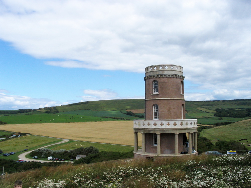
Clavell Tower
Clavell Tower, also known as Clavell Folly or the Kimmeridge Tower, is a Grade II listed Tuscan style tower built in 1830. It lies on the Jurassic Coast...

Kimmeridge Bay
Kimmeridge Bay ( ) is a bay on the Isle of Purbeck, a peninsula on the English Channel coast in Dorset, England, close to and southeast of the village...
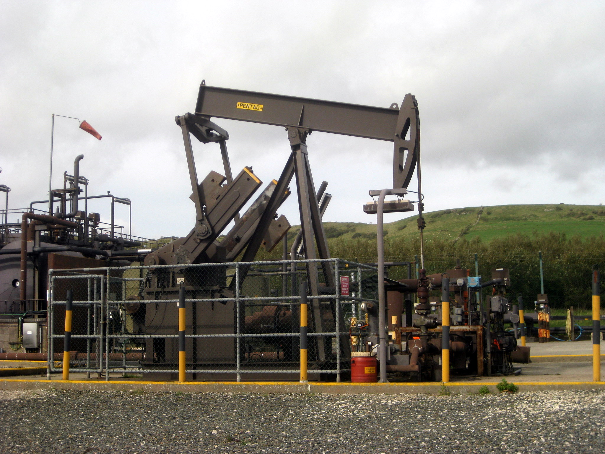
Kimmeridge Oil Field
The Kimmeridge Oil Field is an oil drilling site, northwest of Kimmeridge Bay, on the south coast of the Isle of Purbeck, in Dorset, England.. == Location... ==

Smedmore House
Smedmore House is a country house near Kimmeridge, Dorset, in England. It was originally built by Sir William Clavell around 1620, partially rebuilt by...

Kimmeridge
Kimmeridge ( ) is a small village and civil parish on the Isle of Purbeck, a peninsula on the English Channel coast in Dorset, England. It is situated...

Hasler Hundred
Hasler Hundred or Hasilor Hundred was a hundred in the county of Dorset, England, containing the following parishes: Arne Church Knowle East Holme Kimmeridge...
Nearby Amenities
Located within 500m of 50.603353,-2.125823Have you been to Yellow Ledge?
Leave your review of Yellow Ledge below (or comments, questions and feedback).