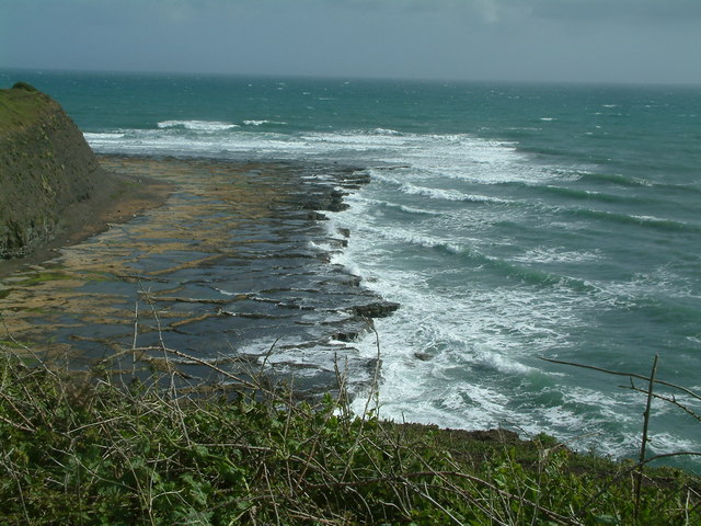
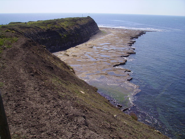
Hen Cliff
Cliff, Slope in Dorset
England
Hen Cliff
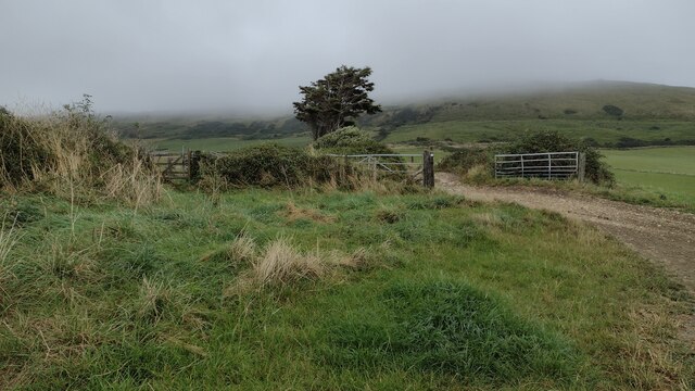
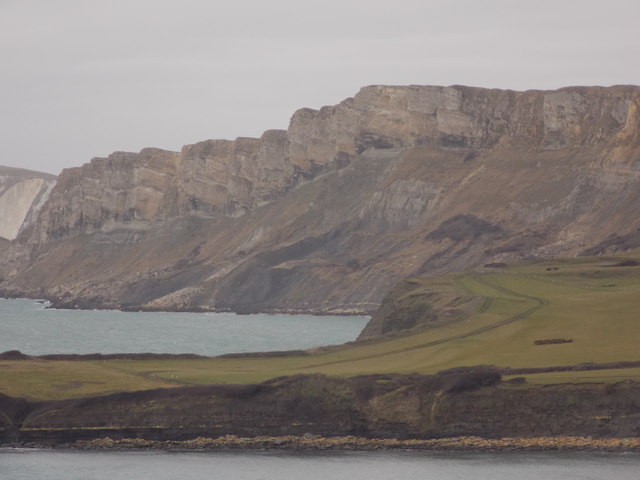
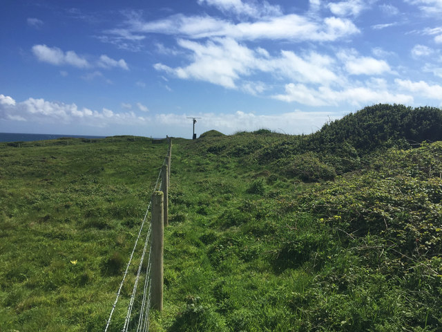
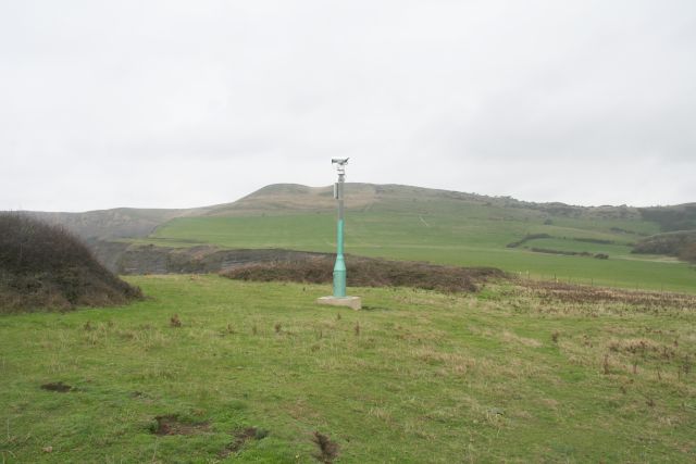
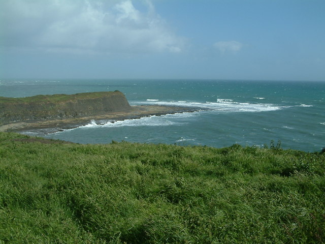
Hen Cliff is a prominent cliff located in Dorset, England. Rising approximately 140 meters above sea level, it provides visitors with breathtaking panoramic views of the surrounding area. The cliff is situated along the Jurassic Coast, a UNESCO World Heritage Site known for its geological significance and stunning natural beauty.
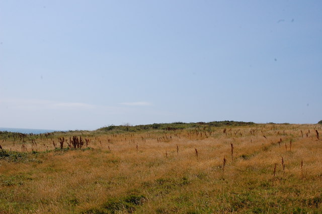
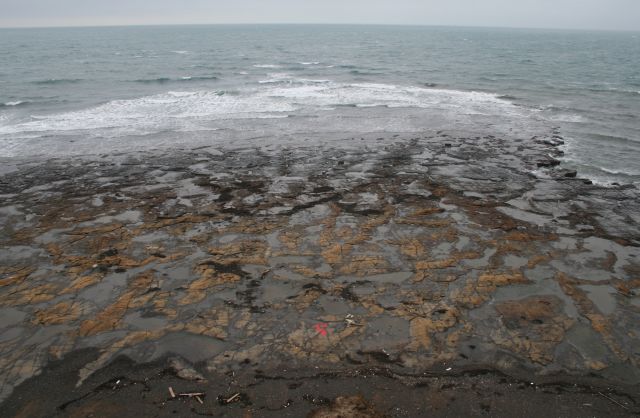
Hen Cliff is characterized by its steep slope and rugged terrain, making it a popular destination for hikers, nature enthusiasts, and photographers. The cliff is composed of limestone and offers a unique opportunity to witness the geological processes that have shaped the region over millions of years.
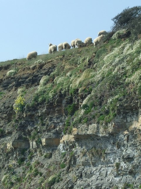
Visitors to Hen Cliff can expect to experience a diverse range of flora and fauna, as the area is home to a variety of plant and animal species. The cliff's exposed rock faces provide nesting sites for seabirds, with species such as guillemots, razorbills, and fulmars commonly seen during breeding season.
In addition to its natural beauty, Hen Cliff also holds historical significance. The area has been inhabited since ancient times, with evidence of human activity dating back to the Neolithic period. Archaeological remains, including tools and pottery, have been discovered in the vicinity of the cliff, providing insights into the lives of past civilizations.
Hen Cliff offers visitors a unique opportunity to explore the diverse natural and cultural heritage of Dorset. Whether it's admiring the stunning views, spotting rare wildlife, or uncovering ancient history, this iconic cliff is a must-visit destination for anyone seeking an enriching and memorable experience.
If you have any feedback on the listing, please let us know in the comments section below.
Hen Cliff Images
Images are sourced within 2km of 50.605041/-2.128032 or Grid Reference SY9178. Thanks to Geograph Open Source API. All images are credited.


Hen Cliff is located at Grid Ref: SY9178 (Lat: 50.605041, Lng: -2.128032)
Unitary Authority: Dorset
Police Authority: Dorset
What 3 Words
///deflated.goes.hissing. Near Corfe Castle, Dorset
Nearby Locations
Related Wikis

Hen Cliff
Hen Cliff is part of the Jurassic Coast near Kimmeridge in the Isle of Purbeck, Dorset, England.The cliff runs from the eastern end of Kimmeridge Bay...
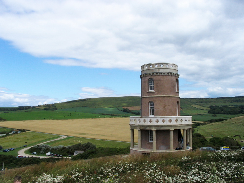
Clavell Tower
Clavell Tower, also known as Clavell Folly or the Kimmeridge Tower, is a Grade II listed Tuscan style tower built in 1830. It lies on the Jurassic Coast...

Kimmeridge Ledges
Kimmeridge Ledges ( ) is a set of Kimmeridge clay ledges stretching out in to the sea on the Isle of Purbeck, a peninsula on the English Channel coast...

Kimmeridge Bay
Kimmeridge Bay ( ) is a bay on the Isle of Purbeck, a peninsula on the English Channel coast in Dorset, England, close to and southeast of the village...
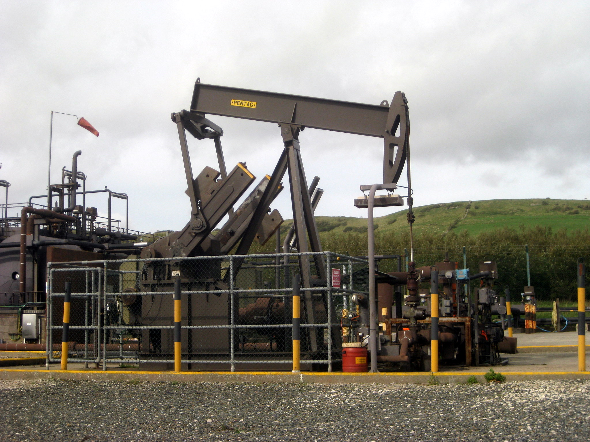
Kimmeridge Oil Field
The Kimmeridge Oil Field is an oil drilling site, northwest of Kimmeridge Bay, on the south coast of the Isle of Purbeck, in Dorset, England.. == Location... ==

Smedmore House
Smedmore House is a country house near Kimmeridge, Dorset, in England. It was originally built by Sir William Clavell around 1620, partially rebuilt by...

Kimmeridge
Kimmeridge ( ) is a small village and civil parish on the Isle of Purbeck, a peninsula on the English Channel coast in Dorset, England. It is situated...

Hasler Hundred
Hasler Hundred or Hasilor Hundred was a hundred in the county of Dorset, England, containing the following parishes: Arne Church Knowle East Holme Kimmeridge...
Nearby Amenities
Located within 500m of 50.605041,-2.128032Have you been to Hen Cliff?
Leave your review of Hen Cliff below (or comments, questions and feedback).