Bellman's Head
Coastal Feature, Headland, Point in Kincardineshire
Scotland
Bellman's Head
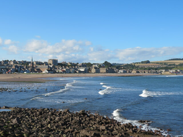
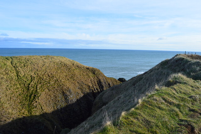
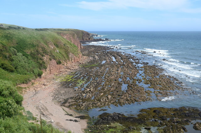
Bellman's Head is a prominent headland located in Kincardineshire, a region in the northeastern part of Scotland. Situated on the coastline, it is a notable feature that juts out into the North Sea, offering breathtaking views and a unique geographical landscape.
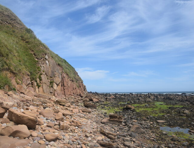
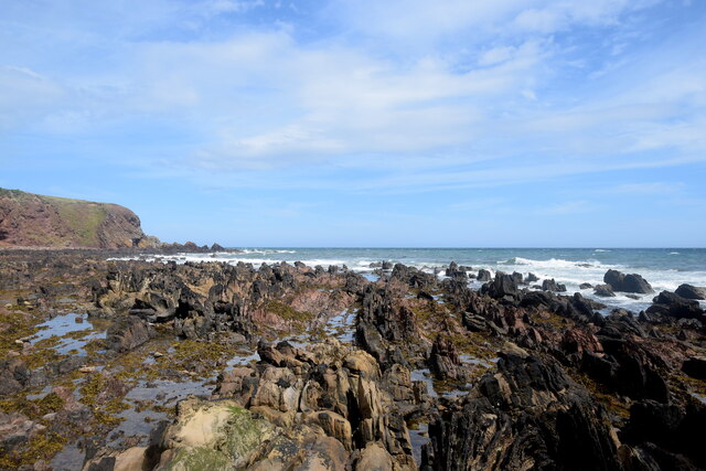
This headland is characterized by its rugged cliffs, which rise steeply from the sea to a height of approximately 100 meters. The cliffs are composed of sedimentary rocks, primarily sandstone and shale, which have been shaped over thousands of years by the relentless coastal erosion. As a result, Bellman's Head showcases magnificent rock formations, including sea stacks and caves, which attract geologists and nature enthusiasts alike.
The area surrounding Bellman's Head is rich in biodiversity, hosting a variety of marine and bird species. Seals can often be spotted basking on the rocky shores, while seabirds such as fulmars, kittiwakes, and puffins nest on the cliffs during the breeding season. The headland is also a popular spot for birdwatching and offers a chance to observe these fascinating creatures in their natural habitat.
In addition to its natural beauty, Bellman's Head has historical significance. It is named after a local legend, Bellman, who was said to have guarded the coast and warned sailors of treacherous rocks during stormy weather. The headland served as a crucial navigational landmark for ships in the past and continues to be an important landmark for maritime purposes today.
Overall, Bellman's Head is a captivating coastal feature that combines stunning geological formations, diverse wildlife, and intriguing history. It is a must-visit destination for those seeking to immerse themselves in the natural wonders of Kincardineshire's coastline.
If you have any feedback on the listing, please let us know in the comments section below.
Bellman's Head Images
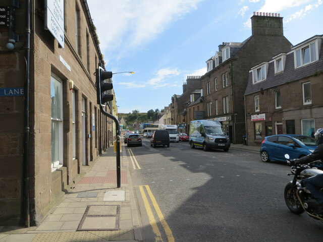
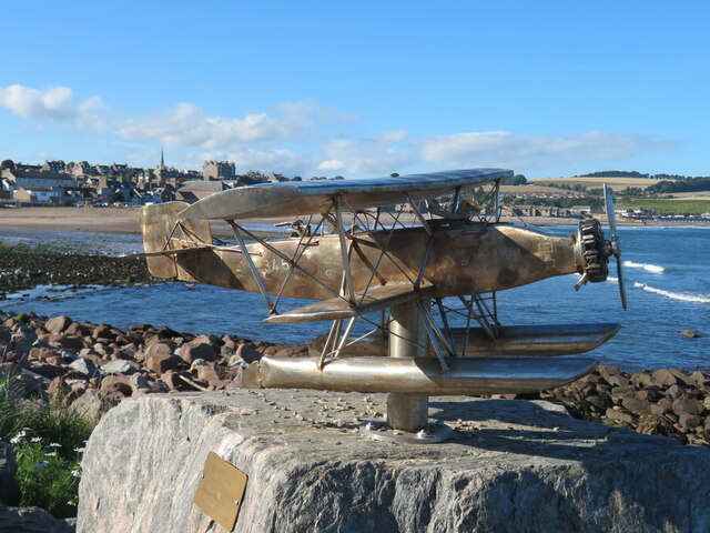
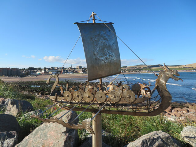
Images are sourced within 2km of 56.960936/-2.1999051 or Grid Reference NO8785. Thanks to Geograph Open Source API. All images are credited.


Bellman's Head is located at Grid Ref: NO8785 (Lat: 56.960936, Lng: -2.1999051)
Unitary Authority: Aberdeenshire
Police Authority: North East
What 3 Words
///pies.informal.strikers. Near Stonehaven, Aberdeenshire
Nearby Locations
Related Wikis

Bellman's Head
Bellman's Head is a headland point comprising the northern boundary of Stonehaven Bay in Stonehaven, Scotland. The corresponding headland at the south...

Stonehaven Tolbooth
The Stonehaven Tolbooth is a late 16th-century stone building originally used as a courthouse and a prison in the town of Stonehaven, Aberdeenshire, Scotland...

Downie Point
Downie Point is a prominent headland located at the southern edge of Stonehaven Bay in Aberdeenshire, Scotland. (United Kingdom, 2004) From the Stonehaven...
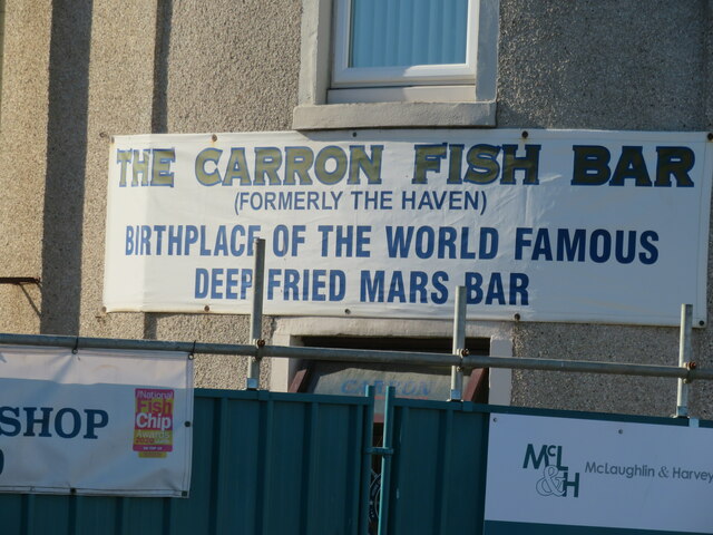
Carron Water, Aberdeenshire
Carron Water (Scottish Gaelic: Carrann) is a river in Kincardineshire, Aberdeenshire, Scotland. == Geography == Carron Water rises in Fetteresso Forest...
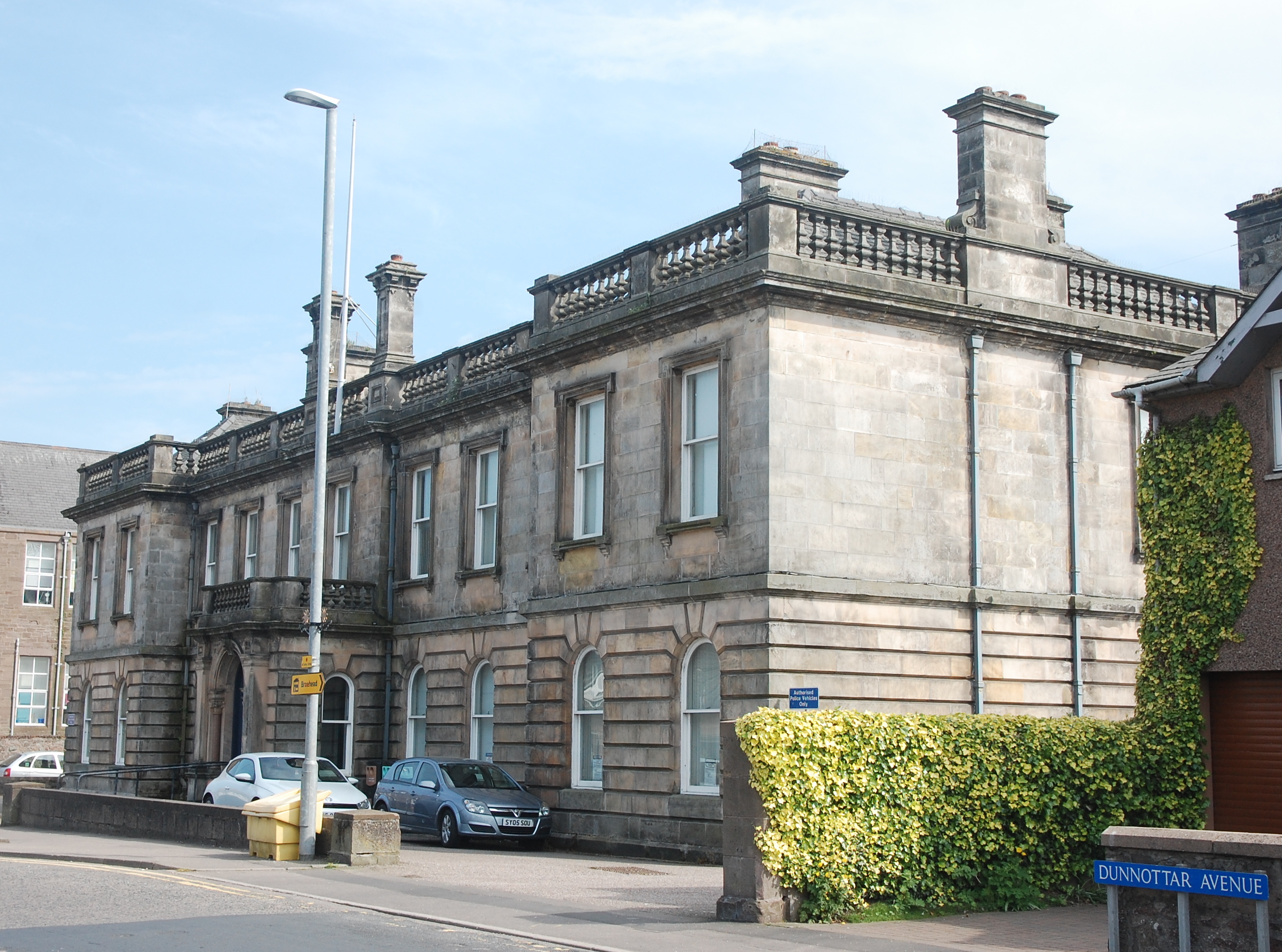
Stonehaven Sheriff Court
Stonehaven Sheriff Court, formerly known as County Buildings, is a judicial structure in Dunnottar Avenue, Stonehaven, Aberdeenshire, Scotland. The structure...
Mearns FM
Mearns FM is a community run radio station based in the North East of Scotland. There are transmitters in Laurencekirk, Inverbervie, Stonehaven and Portlethen...
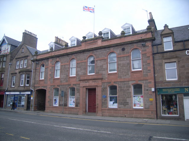
Stonehaven Town Hall
Stonehaven Town Hall is a municipal building in Allardice Street, Stonehaven, Aberdeenshire, Scotland. The building, which is largely used as an events...
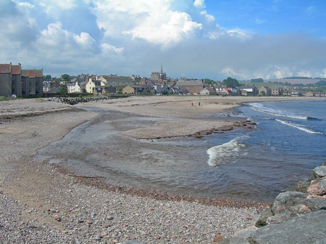
Stonehaven Bay
Stonehaven Bay is a natural harbour in Aberdeenshire, Scotland. The town of Stonehaven is built along the shore of Stonehaven Bay. The mouths of the Carron...
Nearby Amenities
Located within 500m of 56.960936,-2.1999051Have you been to Bellman's Head?
Leave your review of Bellman's Head below (or comments, questions and feedback).