Brachans
Island in Kincardineshire
Scotland
Brachans
Brachans is a small island located off the coast of Kincardineshire, Scotland. Situated in the North Sea, it is a picturesque destination known for its stunning natural beauty and rich history. The island covers an area of approximately 10 square miles.
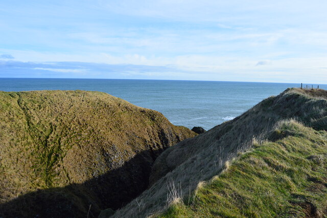
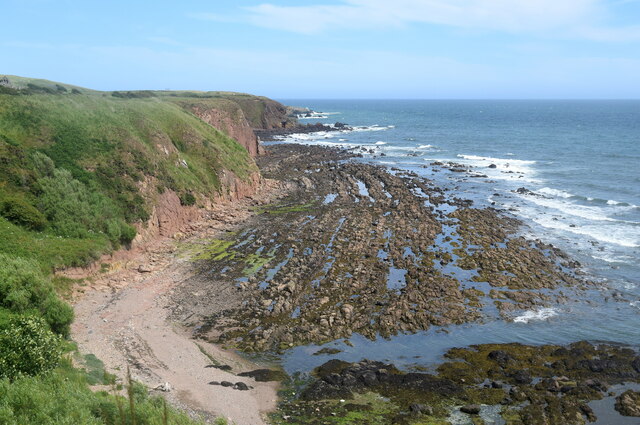
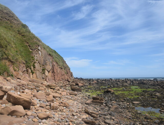
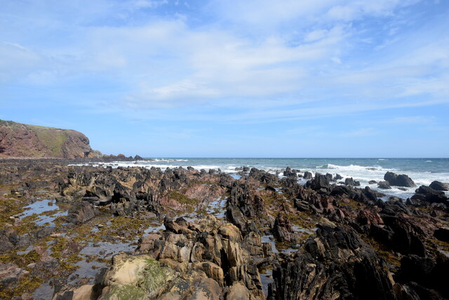
Brachans boasts a diverse landscape, characterized by rolling hills, lush green fields, and rugged coastlines. The island is home to a variety of flora and fauna, making it a haven for nature lovers and wildlife enthusiasts. Visitors can explore the numerous walking trails that crisscross the island, offering breathtaking panoramic views of the surrounding ocean and neighboring islands.
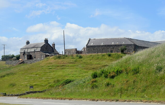
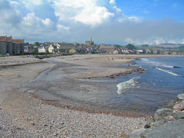
The island has a small population, with most residents engaged in agriculture, fishing, or tourism-related activities. Brachans has a close-knit community, and its people are known for their warmth and hospitality. The island features a few quaint villages with charming cottages, providing visitors with a glimpse into traditional Scottish island life.
For history enthusiasts, Brachans has several notable landmarks and archaeological sites. The island is home to ancient standing stones and burial mounds, dating back to prehistoric times. Additionally, remnants of a medieval castle can be found, serving as a reminder of the island's past.
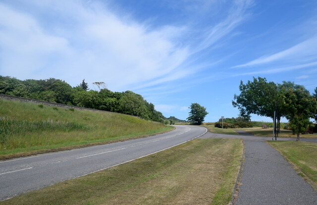
Access to Brachans is primarily by ferry, which operates regular services from the mainland. Visitors can enjoy a peaceful and tranquil getaway on this secluded island, immersing themselves in its natural wonders and embracing its rich cultural heritage.
If you have any feedback on the listing, please let us know in the comments section below.
Brachans Images
Images are sourced within 2km of 56.964501/-2.2007794 or Grid Reference NO8785. Thanks to Geograph Open Source API. All images are credited.


Brachans is located at Grid Ref: NO8785 (Lat: 56.964501, Lng: -2.2007794)
Unitary Authority: Aberdeenshire
Police Authority: North East
What 3 Words
///perusing.surround.grub. Near Stonehaven, Aberdeenshire
Nearby Locations
Related Wikis

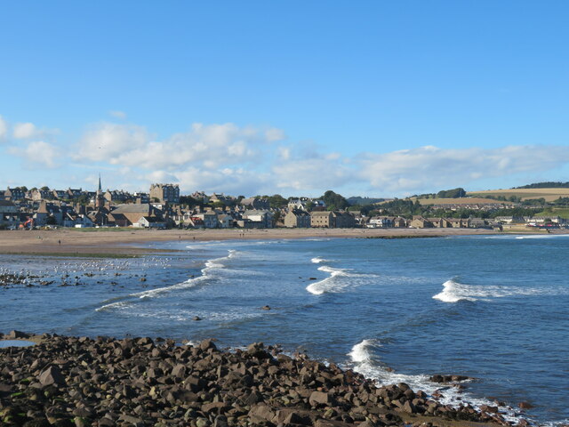
Stonehaven Bay
Stonehaven Bay is a natural harbour in Aberdeenshire, Scotland. The town of Stonehaven is built along the shore of Stonehaven Bay. The mouths of the Carron...
Carron Water, Aberdeenshire
Carron Water (Scottish Gaelic: Carrann) is a river in Kincardineshire, Aberdeenshire, Scotland. == Geography == Carron Water rises in Fetteresso Forest...
Bellman's Head
Bellman's Head is a headland point comprising the northern boundary of Stonehaven Bay in Stonehaven, Scotland. The corresponding headland at the south...
Mearns FM
Mearns FM is a community run radio station based in the North East of Scotland. There are transmitters in Laurencekirk, Inverbervie, Stonehaven and Portlethen...
Nearby Amenities
Located within 500m of 56.964501,-2.2007794Have you been to Brachans?
Leave your review of Brachans below (or comments, questions and feedback).