Black Ness

Coastal Feature, Headland, Point in Kincardineshire

Scotland

Black Ness

Sill exposed on Darn Bay cliff The sill runs from half way up the left of the frame to the top of the cliff on the right in a very flattened S curve. Samples taken on 22 Dec 21 were consistent with lava. If this is an offshoot of the dyke shown on the BGS overlay about 100m to the left (W), then it is a 'North Britain Siluro-devonian Calc-alkaline Dyke Suite - Microgranite'. The rest of the cliffs are Gourdon conglomerate with interbedded sandstone layers.
Sill exposed on Darn Bay cliff Credit: Nigel Feilden

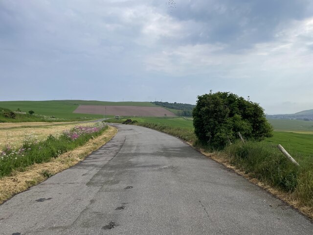
Black Ness is a prominent coastal feature located in Kincardineshire, Scotland. It is known for its picturesque views and distinctive geological features. As a headland and point, it juts out into the North Sea, forming a natural boundary between the land and the sea.

The headland is characterized by its rugged and rocky terrain. Tall cliffs tower above the sea, creating a dramatic landscape. The rocks that make up Black Ness are primarily composed of granite and schist, giving it a unique and visually striking appearance. These geological formations also provide a habitat for a diverse range of coastal plants and wildlife.

The coastline surrounding Black Ness is blessed with stunning vistas. Visitors can enjoy panoramic views of the North Sea, with the horizon stretching endlessly into the distance. On clear days, it is possible to see as far as the Aberdeen coastline to the north.

For outdoor enthusiasts, Black Ness offers excellent opportunities for hiking and exploration. A network of trails winds through the headland, allowing visitors to discover its hidden coves, secluded beaches, and sea caves. The rugged nature of the terrain provides a challenging experience for hikers and climbers, making it a popular spot for adventure seekers.

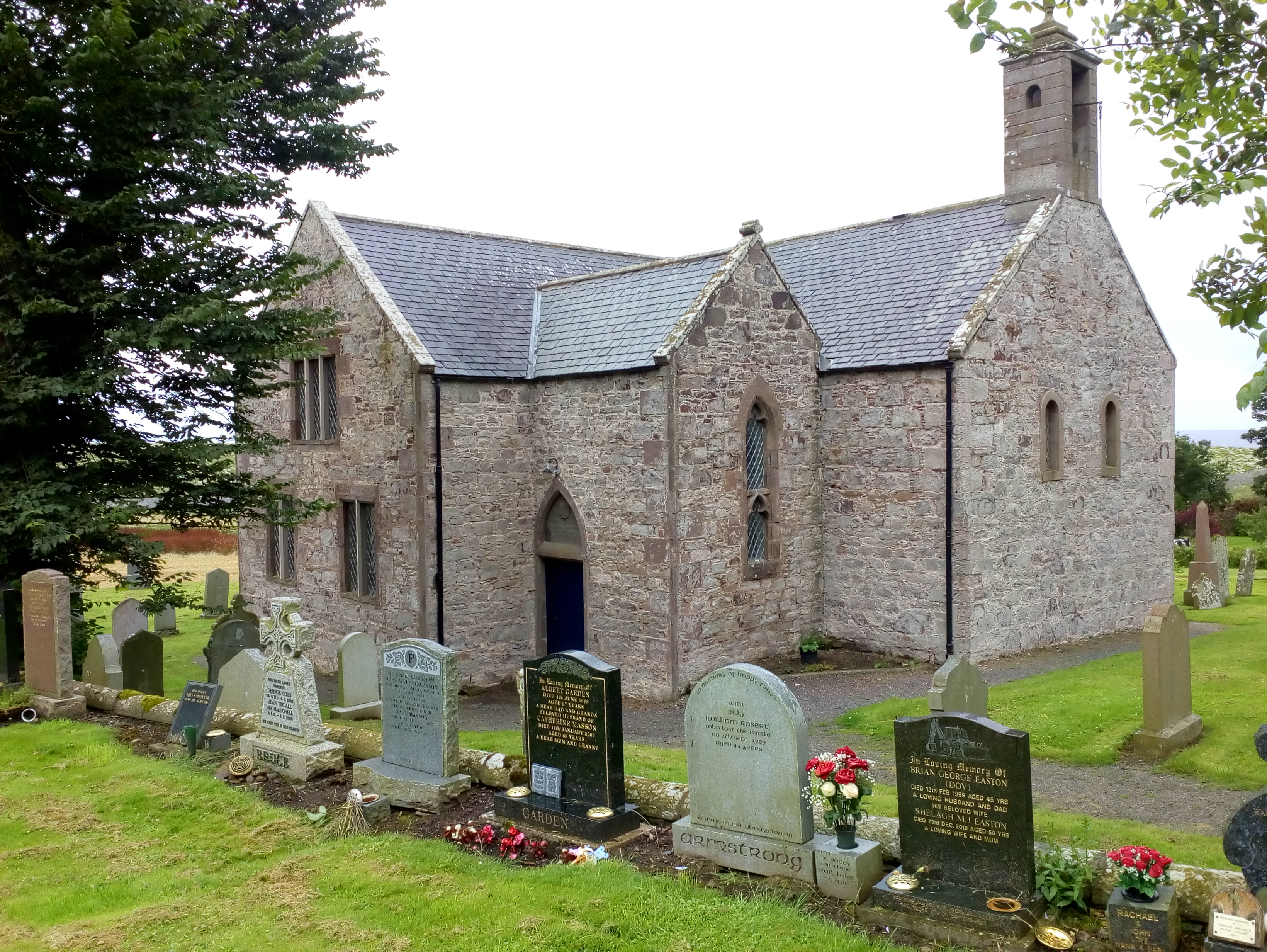
Black Ness is also of historical significance. It was once a strategic location for coastal defenses during times of conflict, and remnants of fortifications can still be seen today. The area is also known for its rich maritime heritage, with tales of shipwrecks and fishing traditions adding to its allure.

In summary, Black Ness in Kincardineshire is a captivating coastal feature that offers a blend of natural beauty, geological fascination, and historical significance. Its rugged cliffs, stunning views, and diverse wildlife make it a must-visit destination for nature lovers and history enthusiasts alike.

If you have any feedback on the listing, please let us know in the comments section below.

Black Ness Images

Images are sourced within 2km of 56.859445/-2.2393279 or Grid Reference NO8574. Thanks to Geograph Open Source API. All images are credited.

Sill exposed on Darn Bay cliff The sill runs from half way up the left of the frame to the top of the cliff on the right in a very flattened S curve. Samples taken on 22 Dec 21 were consistent with lava. If this is an offshoot of the dyke shown on the BGS overlay about 100m to the left (W), then it is a 'North Britain Siluro-devonian Calc-alkaline Dyke Suite - Microgranite'. The rest of the cliffs are Gourdon conglomerate with interbedded sandstone layers.
Sill exposed on Darn Bay cliff
The sill runs from half way up the left of the frame to the top of the cliff on the right in a very flattened S curve. Samples taken on 22 Dec 21 were consistent with lava. If this is an offshoot of the dyke shown on the BGS overlay about 100m to the left (W), then it is a 'North Britain Siluro-devonian Calc-alkaline Dyke Suite - Microgranite'. The rest of the cliffs are Gourdon conglomerate with interbedded sandstone layers.
Coarse conglomerate in the cliffs above Darn Bay Some of the rounded stones are getting on for a metre across - compare the fence posts above. The BGS has 'Rob's Cove Conglomerate Member - Conglomerate'
Coarse conglomerate in the cliffs above Darn Bay
Some of the rounded stones are getting on for a metre across - compare the fence posts above. The BGS has 'Rob's Cove Conglomerate Member - Conglomerate'
A lay-by on the A92
A lay-by on the A92
Oilseed rape A field of oilseed rape beside a turn off for Catterline. The haar was presenting with me with a bit of a challenge, but the good news was that I was free of the commuters on the A92.
Oilseed rape
A field of oilseed rape beside a turn off for Catterline. The haar was presenting with me with a bit of a challenge, but the good news was that I was free of the commuters on the A92.
Stubble, Grange The haar just reveals piles of manure and an explanation for the mud.
Stubble, Grange
The haar just reveals piles of manure and an explanation for the mud.
Wheat, Kinneff Some fields here had been harvested, but this wheat was still green.
Wheat, Kinneff
Some fields here had been harvested, but this wheat was still green.
Kirkcorner A minor road at Kinneff in the wretched haar.
Kirkcorner
A minor road at Kinneff in the wretched haar.
Large open tank, Wardhead
Haar Kinneff on the Kincardineshire coast during a prolonged period of coastal fog.
Haar
Kinneff on the Kincardineshire coast during a prolonged period of coastal fog.
Minor road near Whistleberry A prolonged period of haar.
Minor road near Whistleberry
A prolonged period of haar.
Undulating grassland near Pitcarry
Craig David The house is just in this square, but the similarly named crag behind it is in the next square. The geological map shows a narrow outcrop here of a volcanic rock called trachyandesite, faulted at both ends. This would account for the presence of the curiously-shaped crag. It is said to have been named because King David II and his Queen, Margaret, took shelter here after being shipwrecked on the rocks below at <a href="https://www.geograph.org.uk/photo/3490860">NO8472 : The King's Step</a>.
Craig David
The house is just in this square, but the similarly named crag behind it is in the next square. The geological map shows a narrow outcrop here of a volcanic rock called trachyandesite, faulted at both ends. This would account for the presence of the curiously-shaped crag. It is said to have been named because King David II and his Queen, Margaret, took shelter here after being shipwrecked on the rocks below at NO8472 : The King's Step.
Rocky Inlet This inlet is just west of <a href="https://www.geograph.org.uk/photo/3490860">NO8472 : The King's Step</a>. It would be an interesting sight in a nor'easterly storm!
Rocky Inlet
This inlet is just west of NO8472 : The King's Step. It would be an interesting sight in a nor'easterly storm!
The King's Step The story goes that King David II, returning to Scotland in 1341 after being in exile in France, was shipwrecked here. In 1362 he granted a charter to the nearby burgh of Inverbervie.
The King's Step
The story goes that King David II, returning to Scotland in 1341 after being in exile in France, was shipwrecked here. In 1362 he granted a charter to the nearby burgh of Inverbervie.
Not for Landing! This inlet just west of <a href="https://www.geograph.org.uk/photo/3490860">NO8472 : The King's Step</a>, where King David II was shipwrecked in 1341, would not be a good place to land. Certainly, it is sheltered from south and west, and even north or due east, but it is treacherously rocky and very exposed to the north-east, whence come the wildest winter storms on this coast.
Not for Landing!
This inlet just west of NO8472 : The King's Step, where King David II was shipwrecked in 1341, would not be a good place to land. Certainly, it is sheltered from south and west, and even north or due east, but it is treacherously rocky and very exposed to the north-east, whence come the wildest winter storms on this coast.
Rocks north of Bervie Bay The westerly dip of the rock strata here is very clear in this view. Bervis Bay is in the middle distance, and Red Head in Angus is just faintly visible on the horizon in the far distance.
Rocks north of Bervie Bay
The westerly dip of the rock strata here is very clear in this view. Bervis Bay is in the middle distance, and Red Head in Angus is just faintly visible on the horizon in the far distance.
The Old Kirk, Kinneff
Old Kirk, Kinneff The church was largely rebuilt in 1738, but incorporates older parts.
Old Kirk, Kinneff
The church was largely rebuilt in 1738, but incorporates older parts.
Show me another place!

Black Ness is located at Grid Ref: NO8574 (Lat: 56.859445, Lng: -2.2393279)

Unitary Authority: Aberdeenshire

Police Authority: North East

What 3 Words

///sinkhole.starter.trials. Near Inverbervie, Aberdeenshire

Related Wikis

Kinneff

Kinneff is a roadside hamlet in Aberdeenshire, Scotland, just north of Inverbervie. To the north lies another hamlet, Catterline. Kinneff also has a primary...

Bervie Water

Bervie Water (Scottish Gaelic: Uisge Bhiorbhaigh) is a river in Aberdeenshire, Scotland which rises in the Drumtochty Forest and flows across The Mearns...

Inverbervie railway station

Bervie railway station served the town of Inverbervie, Aberdeenshire, Scotland from 1865 to 1966 on the Montrose and Bervie Railway. == History == The...

Inverbervie Town House

Inverbervie Town House is a municipal structure in Church Street in Inverbervie, Aberdeenshire, Scotland. The structure, which is primarily used as a public...

Inverbervie

Inverbervie (from Scottish Gaelic: Inbhir Biorbhaidh or Biorbhaigh, "mouth of the River Bervie") is a small town on the north-east coast of Scotland, south...

Allardice Castle

Allardice Castle (also spelled Allardyce) is a sixteenth-century manor house in Kincardineshire, Scotland. It is approximately 1.5 kilometres north-west...

Gourdon railway station (NBR)

Gourdon railway station served the village of Gourdon, Aberdeenshire, Scotland from 1865 to 1951 on the Montrose and Bervie Railway. == History == The...

Catterline

Catterline is a coastal village on the North Sea in Aberdeenshire, Scotland. It is situated about 5 miles (8.0 km) south of Stonehaven; nearby to the...

Nearby Amenities

Located within 500m of 56.859445,-2.2393279
Created By: almien_coastlines
Source: PGS
Lat/Long: 56.856604/-2.245146
Created By: almien_coastlines
Source: PGS
Lat/Long: 56.857113/-2.244668
Created By: almien_coastlines
Source: PGS
Lat/Long: 56.857369/-2.244663
Created By: almien_coastlines
Source: PGS
Lat/Long: 56.857881/-2.244652
Created By: almien_coastlines
Source: PGS
Lat/Long: 56.858007/-2.244415
Created By: almien_coastlines
Source: PGS
Lat/Long: 56.858134/-2.24418
Created By: almien_coastlines
Source: PGS
Lat/Long: 56.858645/-2.243935
Source: PGS
Lat/Long: 56.8587291/-2.2427659
Created By: almien_coastlines
Source: PGS
Lat/Long: 56.858894/-2.242762
Source: PGS
Lat/Long: 56.859467/-2.2428872
Source: PGS
Lat/Long: 56.8597283/-2.2428684
Source: PGS
Lat/Long: 56.8602523/-2.2425586
Source: PGS
Lat/Long: 56.8605071/-2.2423053
Source: PGS
Lat/Long: 56.860627/-2.2410543
Source: PGS
Lat/Long: 56.8604678/-2.2405586
Created By: almien_coastlines
Source: PGS
Lat/Long: 56.860158/-2.240165
Source: PGS
Lat/Long: 56.8596453/-2.2396101
Source: PGS
Lat/Long: 56.8596101/-2.2387969
Source: PGS
Lat/Long: 56.8599362/-2.2383752
Source: PGS
Lat/Long: 56.8602676/-2.2382797
Created By: almien_coastlines
Source: PGS
Lat/Long: 56.86053/-2.238288
Created By: almien_coastlines
Source: PGS
Lat/Long: 56.860657/-2.238052
Created By: almien_coastlines
Source: PGS
Lat/Long: 56.860783/-2.237815
Created By: almien_coastlines
Source: PGS
Lat/Long: 56.860781/-2.237348
Source: PGS
Lat/Long: 56.8608617/-2.2370719
Source: PGS
Lat/Long: 56.861306/-2.237277
Source: PGS
Lat/Long: 56.8615779/-2.237569
Source: PGS
Lat/Long: 56.8618077/-2.2378206
Source: PGS
Lat/Long: 56.8619888/-2.2373441
Created By: almien_coastlines
Source: PGS
Lat/Long: 56.862314/-2.236849
Created By: almien_coastlines
Source: PGS
Lat/Long: 56.862441/-2.236614
Source: PGS
Lat/Long: 56.8626404/-2.2364821
Source: PGS
Lat/Long: 56.8626764/-2.2364138
Source: PGS
Lat/Long: 56.8628383/-2.2358506
Source: PGS
Lat/Long: 56.862691/-2.2357107
Source: PGS
Lat/Long: 56.862408/-2.2351261
Source: PGS
Lat/Long: 56.8624333/-2.2345387
Created By: almien_coastlines
Source: PGS
Lat/Long: 56.86255/-2.233573
Little John's Haven
Natural: bay
Lat/Long: 56.8601417/-2.2416615
Crooked Haven
Natural: bay
Lat/Long: 56.8615138/-2.2358047
The data included in this document is from www.openstreetmap.org. The data is made available under ODbL.

Have you been to Black Ness?

Leave your review of Black Ness below (or comments, questions and feedback).