Castle Hill
Hill, Mountain in Kincardineshire
Scotland
Castle Hill

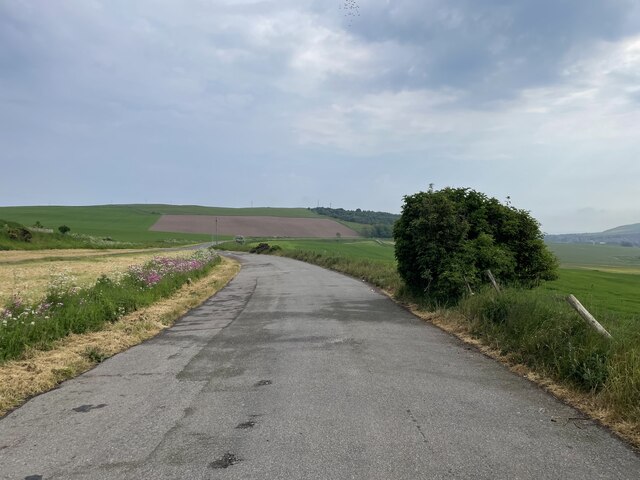
Castle Hill is a prominent hill located in the region of Kincardineshire, Scotland. Standing at an impressive height of approximately 750 feet, it offers breathtaking panoramic views of the surrounding countryside and North Sea coastline.
The hill's name is derived from the remains of an ancient hill fort that once stood on its summit. These fortifications, dating back to the Iron Age, were strategically positioned to protect against potential invaders. Today, visitors can still see the remnants of the fort, including earthworks and stone foundations, which provide valuable insights into the area's rich history.
Castle Hill is a popular destination for hikers and nature enthusiasts due to its well-maintained network of trails that wind their way through the picturesque landscape. The diverse vegetation, including heather and gorse, adds to the hill's natural beauty, particularly when in bloom.
In addition to its historical and natural attractions, Castle Hill offers various recreational activities. Rock climbing enthusiasts can challenge themselves on the hill's rugged cliffs, while birdwatchers can spot a variety of avian species, including peregrine falcons and kestrels, soaring above the hill's slopes.
Access to Castle Hill is convenient, with a car park located at its base and nearby public transportation options. The hill's popularity also means it benefits from regular maintenance and safety measures, ensuring a pleasant and secure experience for visitors.
Overall, Castle Hill in Kincardineshire is a captivating destination that combines history, natural beauty, and recreational opportunities, making it an ideal spot for both locals and tourists to explore and enjoy.
If you have any feedback on the listing, please let us know in the comments section below.
Castle Hill Images
Images are sourced within 2km of 56.857942/-2.2453037 or Grid Reference NO8574. Thanks to Geograph Open Source API. All images are credited.


Castle Hill is located at Grid Ref: NO8574 (Lat: 56.857942, Lng: -2.2453037)
Unitary Authority: Aberdeenshire
Police Authority: North East
What 3 Words
///slung.wins.arrow. Near Inverbervie, Aberdeenshire
Nearby Locations
Related Wikis
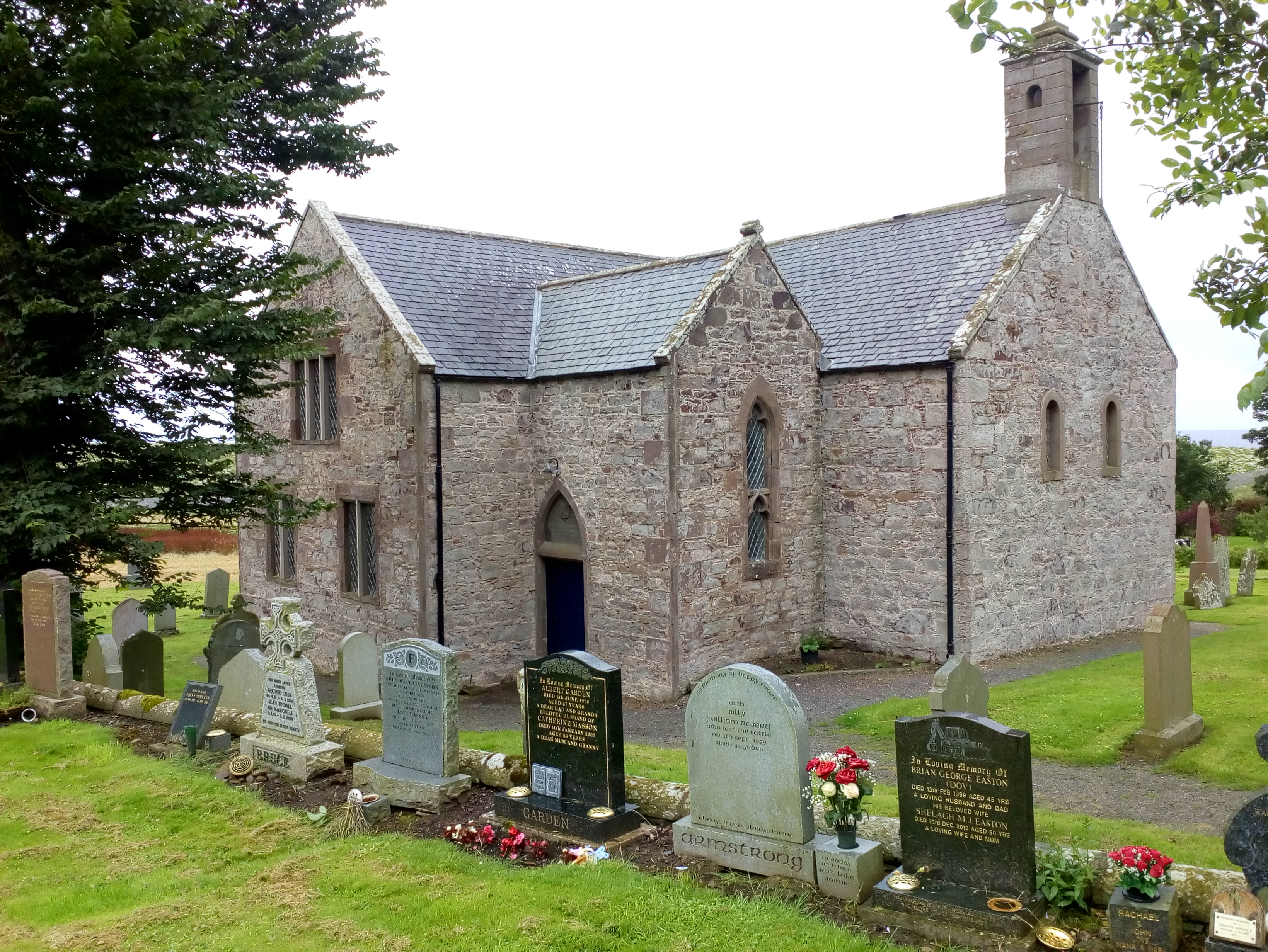
Kinneff
Kinneff is a roadside hamlet in Aberdeenshire, Scotland, just north of Inverbervie. To the north lies another hamlet, Catterline. Kinneff also has a primary...

Bervie Water
Bervie Water (Scottish Gaelic: Uisge Bhiorbhaigh) is a river in Aberdeenshire, Scotland which rises in the Drumtochty Forest and flows across The Mearns...

Inverbervie railway station
Bervie railway station served the town of Inverbervie, Aberdeenshire, Scotland from 1865 to 1966 on the Montrose and Bervie Railway. == History == The...

Inverbervie Town House
Inverbervie Town House is a municipal structure in Church Street in Inverbervie, Aberdeenshire, Scotland. The structure, which is primarily used as a public...

Inverbervie
Inverbervie (from Scottish Gaelic: Inbhir Biorbhaidh or Biorbhaigh, "mouth of the River Bervie") is a small town on the north-east coast of Scotland, south...

Allardice Castle
Allardice Castle (also spelled Allardyce) is a sixteenth-century manor house in Kincardineshire, Scotland. It is approximately 1.5 kilometres north-west...

Gourdon railway station (NBR)
Gourdon railway station served the village of Gourdon, Aberdeenshire, Scotland from 1865 to 1951 on the Montrose and Bervie Railway. == History == The...
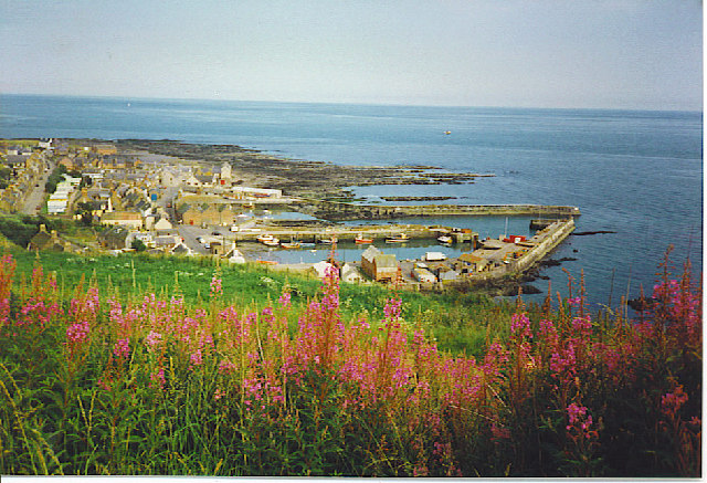
Gourdon, Aberdeenshire
Gourdon () nicknamed Gurdin by the population, is a coastal fishing village in Aberdeenshire, Scotland, south of Inverbervie and north of Johnshaven, with...
Nearby Amenities
Located within 500m of 56.857942,-2.2453037Have you been to Castle Hill?
Leave your review of Castle Hill below (or comments, questions and feedback).