Lower Bebington
Settlement in Cheshire
England
Lower Bebington

Lower Bebington is a suburban area located in the county of Cheshire, England. Situated on the Wirral Peninsula, it is part of the Metropolitan Borough of Wirral. With a population of around 13,000 residents, Lower Bebington is a thriving residential community that offers a peaceful and picturesque setting.
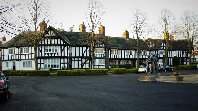
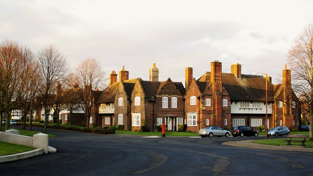
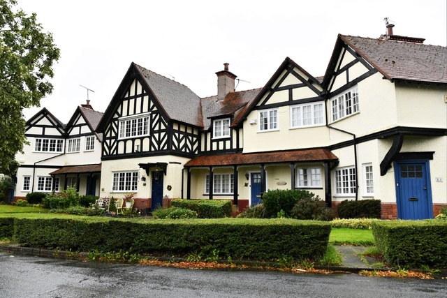
The area is known for its charming residential properties, ranging from traditional terraced houses to more modern developments. The well-maintained streets are lined with neatly manicured gardens and tree-lined avenues, creating a pleasant and welcoming atmosphere.
Lower Bebington benefits from its close proximity to the River Mersey, providing residents with beautiful views and recreational opportunities. The popular Port Sunlight River Park is just a short distance away, offering expansive green spaces, woodland trails, and a riverside promenade.
Residents of Lower Bebington enjoy a range of amenities and facilities within the local area. There are several shops, supermarkets, and small businesses, providing convenient access to everyday necessities. The area is also home to a number of schools, making it an attractive location for families.
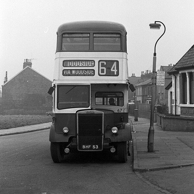
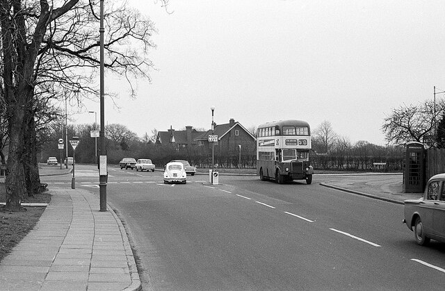
Transport links in Lower Bebington are excellent, with frequent bus services connecting the area to nearby towns and cities. The M53 motorway is easily accessible, providing convenient access to Liverpool and Chester.
Overall, Lower Bebington offers a tranquil and family-friendly environment, with its well-maintained streets, scenic surroundings, and convenient amenities making it an attractive place to live.
If you have any feedback on the listing, please let us know in the comments section below.
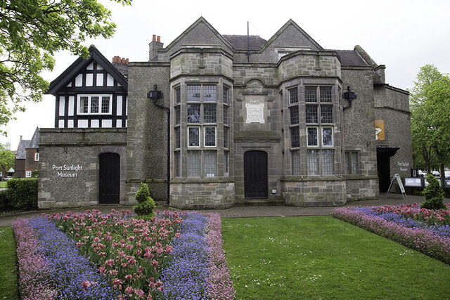
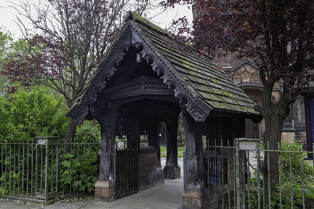
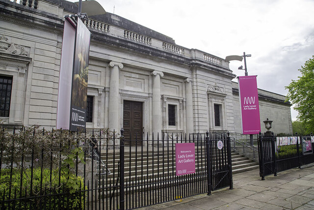
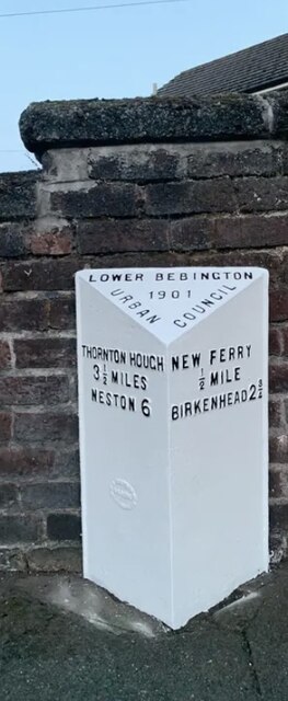
Lower Bebington Images
Images are sourced within 2km of 53.349542/-3.004974 or Grid Reference SJ3384. Thanks to Geograph Open Source API. All images are credited.


Lower Bebington is located at Grid Ref: SJ3384 (Lat: 53.349542, Lng: -3.004974)
Unitary Authority: Wirral
Police Authority: Merseyside
What 3 Words
///pump.fried.blues. Near Bebington, Merseyside
Nearby Locations
Related Wikis

Bebington
Bebington () is a town in the Metropolitan Borough of Wirral, in Merseyside, England. Historically part of Cheshire, it is 5 miles (8 km) south of Liverpool...

Municipal Borough of Bebington
Bebington was a local government district on the Wirral Peninsula, in Cheshire, England. It was the local authority for the towns of Bebington and Bromborough...
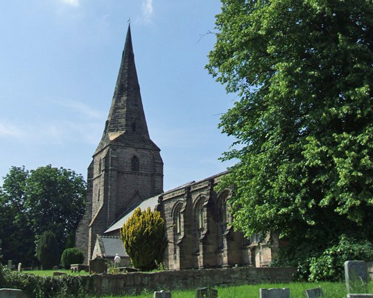
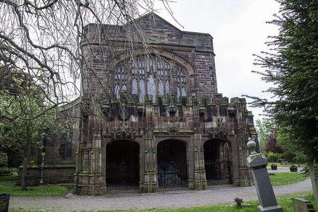
St Andrew's Church, Bebington
St Andrew's Church is in the town of Bebington, Wirral, Merseyside, England. It is recorded in the National Heritage List for England as a designated...

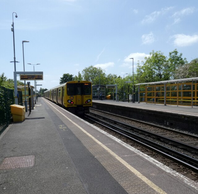
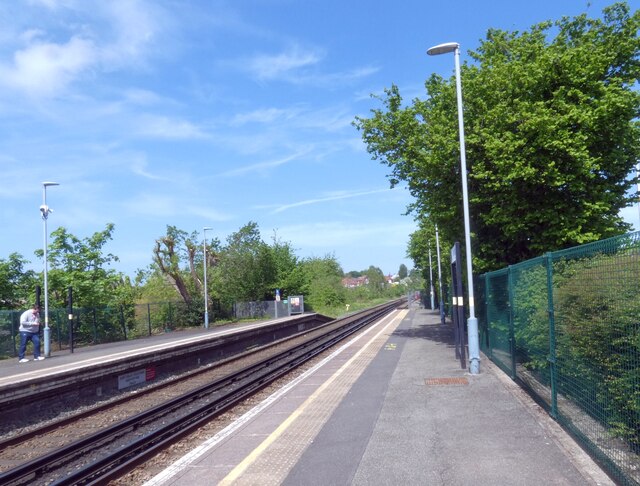
Port Sunlight railway station
Port Sunlight railway station serves the village of Port Sunlight in Merseyside, England. The station is situated on the Chester and Ellesmere Port branches...

Wirral Grammar School for Boys
Wirral Grammar School for Boys is an 11–18 boys maintained selective grammar school founded in 1931. It is situated on a 9.1 acres (3.7 ha) site to the...
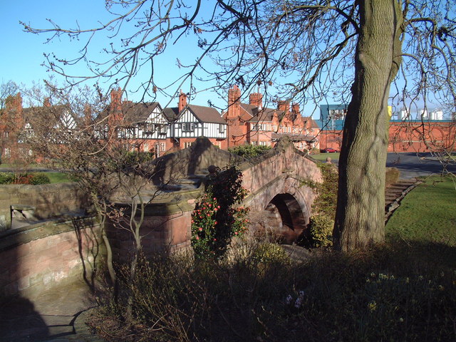
Dell Bridge
Dell Bridge is a footbridge in Port Sunlight, Wirral, England. It is recorded in the National Heritage List for England as a designated Grade II listed...
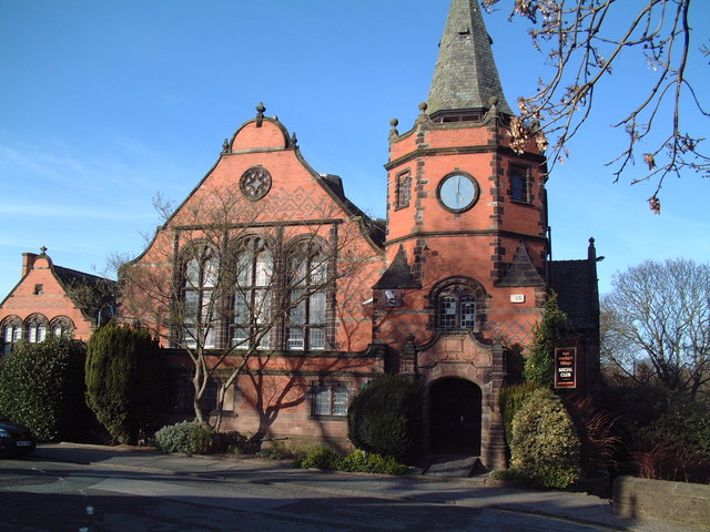
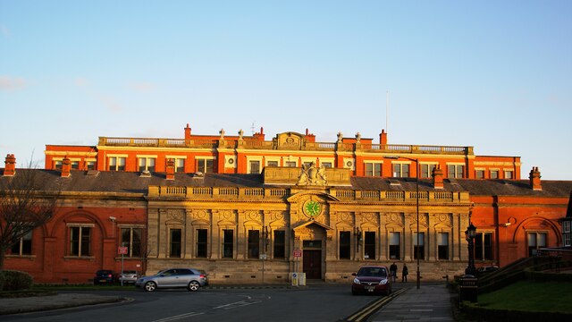
Lyceum, Port Sunlight
The Lyceum is a building on Bridge Street, Port Sunlight, Merseyside, England. Originally built as a school, it is now used for a variety of purposes...

Port Sunlight
Port Sunlight is a model village in the Metropolitan Borough of Wirral, Merseyside, England. It is located between Lower Bebington and New Ferry, on the...
Nearby Amenities
Located within 500m of 53.349542,-3.004974Have you been to Lower Bebington?
Leave your review of Lower Bebington below (or comments, questions and feedback).