Trisha's Pond
Lake, Pool, Pond, Freshwater Marsh in Cheshire
England
Trisha's Pond
Trisha's Pond is a picturesque freshwater pond located in the county of Cheshire, England. Nestled amidst lush greenery, this serene body of water offers a tranquil retreat for nature enthusiasts and visitors seeking a peaceful escape from the hustle and bustle of city life.
Spanning approximately 2 acres in size, Trisha's Pond is often referred to as a lake due to its significant dimensions. The pond is fed by natural springs and rainfall, ensuring a constant flow of crystal-clear freshwater throughout the year. The water is remarkably clean, making it an ideal habitat for various aquatic flora and fauna.
Surrounded by gently sloping grassy banks, Trisha's Pond provides ample space for picnicking, sunbathing, and relaxation. Visitors can enjoy the breathtaking views of the pond's shimmering surface, reflecting the surrounding trees and sky.
The diverse ecosystem of Trisha's Pond supports a wide range of wildlife. Ducks, swans, and geese are often spotted gracefully gliding across the water, while dragonflies and butterflies flit among the reeds and water lilies. The pond is also home to various species of fish, providing excellent opportunities for fishing enthusiasts.
Trisha's Pond is a popular destination for local anglers, who can be seen casting their lines from the banks or small wooden jetties. Fishing permits are required for those wishing to catch the abundant perch, roach, and pike that thrive in the pond's depths.
Overall, Trisha's Pond offers a captivating blend of natural beauty and tranquility, making it a cherished gem in the heart of Cheshire's countryside.
If you have any feedback on the listing, please let us know in the comments section below.
Trisha's Pond Images
Images are sourced within 2km of 53.349609/-3.0066605 or Grid Reference SJ3384. Thanks to Geograph Open Source API. All images are credited.


Trisha's Pond is located at Grid Ref: SJ3384 (Lat: 53.349609, Lng: -3.0066605)
Unitary Authority: Wirral
Police Authority: Merseyside
What 3 Words
///meal.swept.pinks. Near Bebington, Merseyside
Nearby Locations
Related Wikis

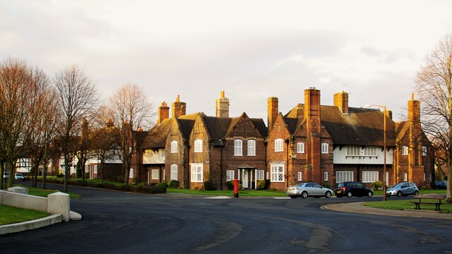
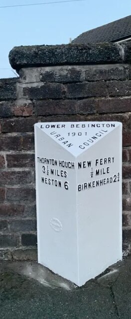
Bebington
Bebington () is a town in the Metropolitan Borough of Wirral, in Merseyside, England. Historically part of Cheshire, it is 5 miles (8 km) south of Liverpool...

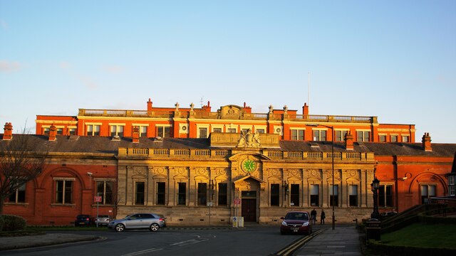
Municipal Borough of Bebington
Bebington was a local government district on the Wirral Peninsula, in Cheshire, England. It was the local authority for the towns of Bebington and Bromborough...
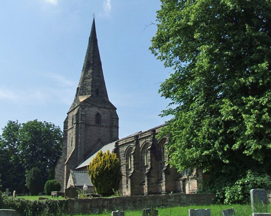
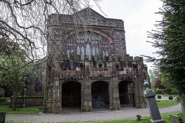
St Andrew's Church, Bebington
St Andrew's Church is in the town of Bebington, Wirral, Merseyside, England. It is recorded in the National Heritage List for England as a designated...

Wirral Grammar School for Boys
Wirral Grammar School for Boys is an 11–18 boys maintained selective grammar school founded in 1931. It is situated on a 9.1 acres (3.7 ha) site to the...

Wirral Grammar School for Girls
Wirral Grammar School for Girls is an all-girls grammar school on the Wirral Peninsula in Merseyside, England. == Admissions == It is on Heath Road, Bebington...

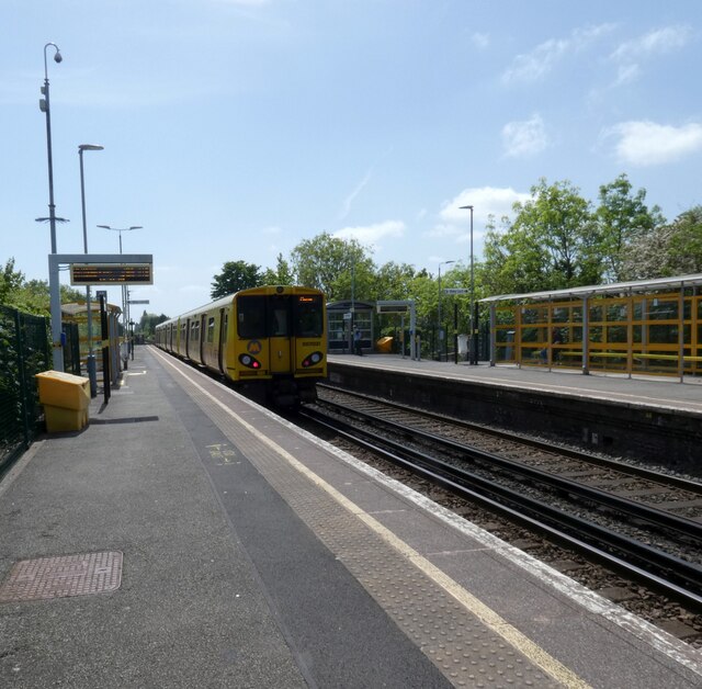
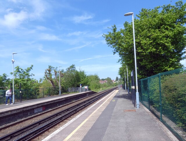
Port Sunlight railway station
Port Sunlight railway station serves the village of Port Sunlight in Merseyside, England. The station is situated on the Chester and Ellesmere Port branches...
Wellington School, Bebington
Wellington School was a small private grammar school in Wellington Road, Bebington, Metropolitan Borough of Wirral, England. == History == Founded by John...
Co-op Academy Bebington
Co-op Academy Bebington (formerly Bebington High Sports College and Bebington High School) is an 11–18 mixed, secondary school and sixth form with academy...
Nearby Amenities
Located within 500m of 53.349609,-3.0066605Have you been to Trisha's Pond?
Leave your review of Trisha's Pond below (or comments, questions and feedback).