Beeding, Lower

Settlement in Sussex Horsham

England

Beeding, Lower

Oaks, Monk's Gate (1) There are quite a number of fine old specimens in the area, perhaps relics of former parkland.
Oaks, Monk's Gate (1) Credit: Stephen Richards

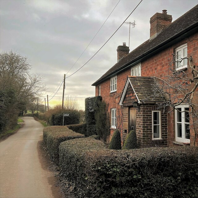
Beeding, Lower, Sussex is a small village located in the Horsham district of West Sussex, England. Situated near the South Downs National Park, it is surrounded by picturesque countryside, offering residents and visitors a tranquil and idyllic setting.

The village is home to a close-knit community, with a population of around 900 people. It boasts a rich history, with evidence of human habitation dating back to the Neolithic period. The area has been inhabited for centuries, and its heritage can be seen in the charming architecture of its buildings.

Despite its small size, Beeding offers a range of amenities for its residents. The village has a primary school, a community hall, and a local pub, providing a social hub for the community. Additionally, the nearby town of Steyning, just a short distance away, offers a wider range of facilities, including shops, restaurants, and leisure activities.

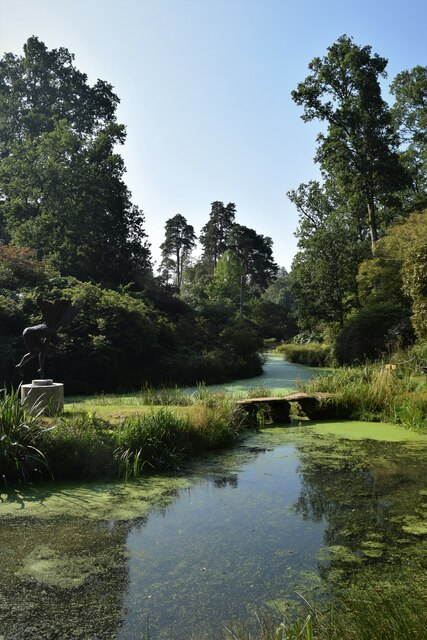
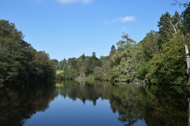
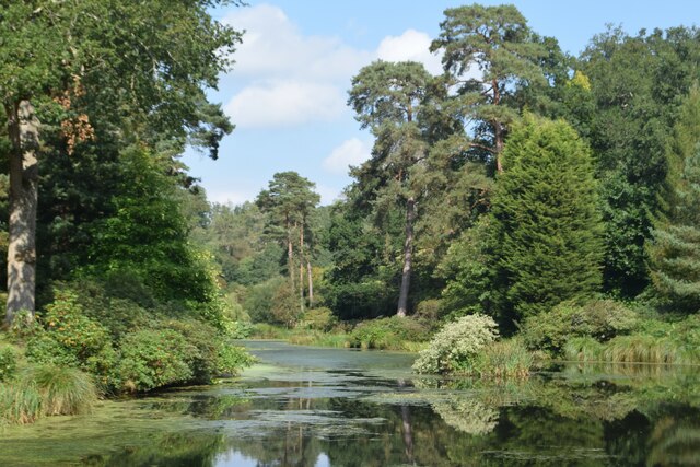
Beeding is surrounded by scenic countryside, making it an ideal location for nature lovers and outdoor enthusiasts. The South Downs Way, a popular long-distance footpath, runs nearby, offering stunning views of the surrounding landscape. The River Adur also flows through the village, providing opportunities for fishing and boating.

Transport links to Beeding are convenient, with easy access to major road networks such as the A283 and A24. The village is well-connected to nearby towns and cities, including Horsham, Brighton, and London, making it a suitable choice for commuters.

Overall, Beeding, Lower, Sussex is a charming and peaceful village with a rich history and beautiful natural surroundings, providing a welcoming and idyllic place to live or visit.

If you have any feedback on the listing, please let us know in the comments section below.

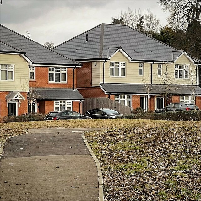
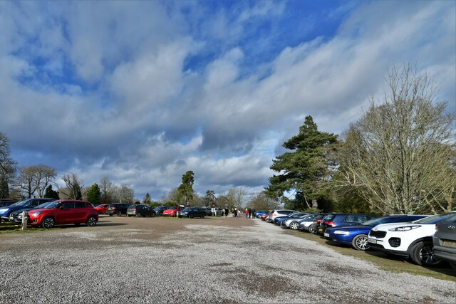
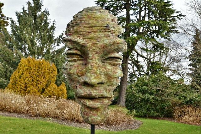
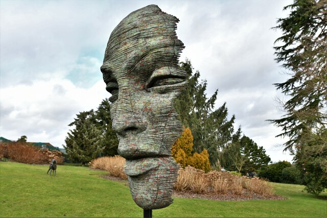
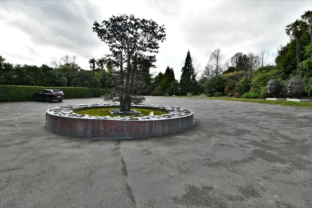
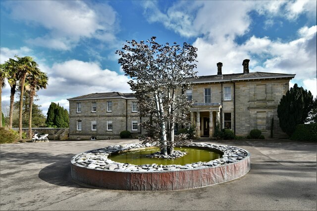
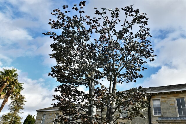
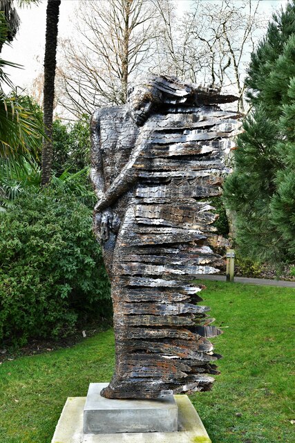
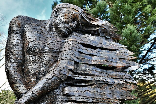
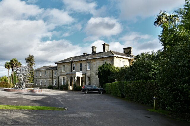
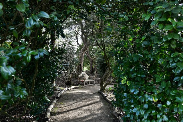
Beeding, Lower Images

Images are sourced within 2km of 51.031898/-0.261445 or Grid Reference TQ2227. Thanks to Geograph Open Source API. All images are credited.

Oaks, Monk's Gate (1) There are quite a number of fine old specimens in the area, perhaps relics of former parkland.
Oaks, Monk's Gate (1)
There are quite a number of fine old specimens in the area, perhaps relics of former parkland.
Oaks, Monk's Gate (2) There are quite a number of fine old specimens in the area, perhaps relics of former parkland.
Oaks, Monk's Gate (2)
There are quite a number of fine old specimens in the area, perhaps relics of former parkland.
Lake at Leonardslee The northernmost of the chain of seven lakes that fill the wooded valley of Leonardslee Gardens
Lake at Leonardslee
The northernmost of the chain of seven lakes that fill the wooded valley of Leonardslee Gardens
New Pond Leonardslee Gardens
New Pond
Leonardslee Gardens
Engine Pond Leonardslee Gardens
Engine Pond
Leonardslee Gardens
Cottage on Newells Lane The bridleway through Lodgesale Wood starts just beyond the cottage, on the right of the lane.
Cottage on Newells Lane
The bridleway through Lodgesale Wood starts just beyond the cottage, on the right of the lane.
New houses in Coolhurst Close
Leonardslee Gardens Car Park
Leonardslee Gardens, Anton Smit 'Walk of Life' Exhibition: 'Faith Mask' 2014
Leonardslee Gardens, Anton Smit 'Walk of Life' Exhibition: 'Stream of Consciousness' 2019
Leonardslee Gardens: Tree sculpture in front of Leonardslee House
Leonardslee Gardens, Anton Smit 'Walk of Life' Exhibition: 'The Burning Man' 2019
Leonardslee Gardens: Leonardslee House
Leonardslee Gardens: The Camellia Walk
Show me another place!

Beeding, Lower is located at Grid Ref: TQ2227 (Lat: 51.031898, Lng: -0.261445)

Administrative County: West Sussex

District: Horsham

Police Authority: Sussex

What 3 Words

///dodging.lazy.warms. Near Cowfold, West Sussex

Related Wikis

Newells Preparatory School

Newells Preparatory School came to Lower Beeding, Sussex, in 1946. It has been at Handcross and known as Handcross Park School since 1968. It merged with...

Lower Beeding

Lower Beeding is a village and civil parish in the Horsham District of West Sussex, England. The village lies on the B2110, B2115 and A281 roads 3.5 miles...

Leonardslee

Leonardslee is an English country house and English landscape garden and woodland garden in Lower Beeding, near Horsham, West Sussex, England. The Grade...

Monk's Gate

Monk's Gate is a hamlet in the civil parish of Nuthurst, in the Horsham District of West Sussex, England. It lies on the A281 road 3 miles (5 km) southeast...

Crabtree, West Sussex

Crabtree is a hamlet in the parish of Lower Beeding and in Horsham District of West Sussex, England. It lies on the A281 road 4.4 miles (7.1 km) southeast...

Mannings Heath

Mannings Heath is a village in the civil parish of Nuthurst and the Horsham District of West Sussex, England. The village is on the A281 road, 2 miles...

Mannings Heath Golf & Wine Estate

Mannings Heath Golf & Wine Estate is located in Mannings Heath, Horsham in the south of England. The 500 acre parkland site includes two golf courses and...

Southwater & Nuthurst (electoral division)

Southwater & Nuthurst is an electoral division of West Sussex in the United Kingdom and returns one member to sit on West Sussex County Council. The current...

Nearby Amenities

Located within 500m of 51.031898,-0.261445
Bus Stop
Old Posthouse
Bus: yes
Naptan AtcoCode: 4400HR0487
Naptan Bearing: W
Naptan BusStopType: CUS
Naptan CommonName: Old Posthouse
Naptan Indicator: opp Post Office
Naptan Landmark: B2110
Naptan NaptanCode: wsxawmja
Naptan Street: B2115
Naptan Verified: no
Public Transport: platform
Shelter: yes
Source: naptan_import
Lat/Long: 51.033438/-0.2592415
Bus Stop
Old Posthouse
Bus: yes
Naptan AtcoCode: 4400HR0488
Naptan Bearing: E
Naptan BusStopType: CUS
Naptan CommonName: Old Posthouse
Naptan Indicator: o/s Post Office
Naptan Landmark: B2110
Naptan NaptanCode: wsxawmjd
Naptan Street: B2115
Naptan Verified: no
Public Transport: platform
Source: naptan_import
Lat/Long: 51.033635/-0.2589596
Lower Beeding
Is In County: West Sussex
Is In District: Horsham
Place: village
Wikidata: Q1606780
Lat/Long: 51.032652/-0.260192
Post Box
Operator: Royal Mail
Post Box Type: lamp
Ref: RH13 195
Royal Cypher: EIIR
Royal Cypher Wikidata: Q33102113
Lat/Long: 51.0336499/-0.2588211
Barrier: kissing_gate
Lat/Long: 51.0310302/-0.2616049
Barrier: stile
Lat/Long: 51.0307305/-0.267527
Bench
Lat/Long: 51.0335803/-0.2605101
Bench
Lat/Long: 51.0335055/-0.2605792
Bench
Lat/Long: 51.0338999/-0.2598254
The data included in this document is from www.openstreetmap.org. The data is made available under ODbL.

Have you been to Beeding, Lower?

Leave your review of Beeding, Lower below (or comments, questions and feedback).