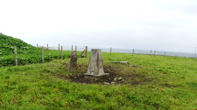
Hindoo Geo
Coastal Feature, Headland, Point in Orkney
Scotland
Hindoo Geo
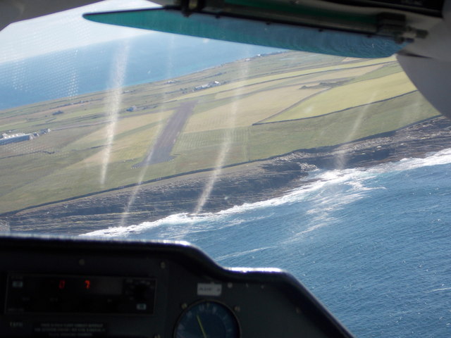
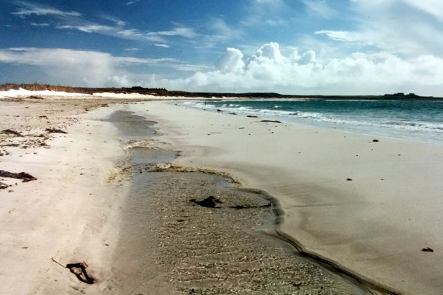
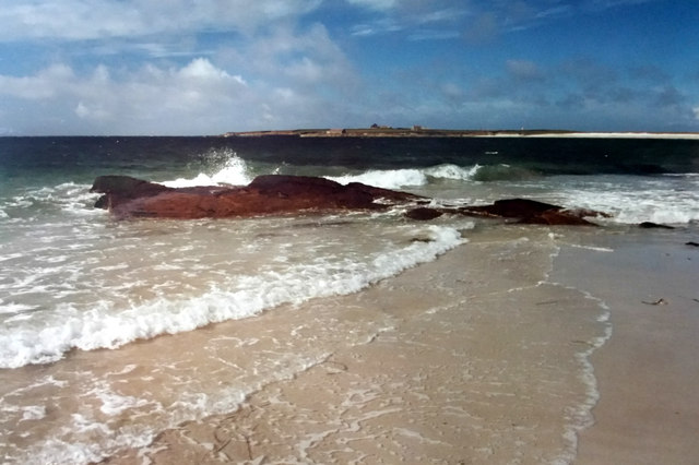
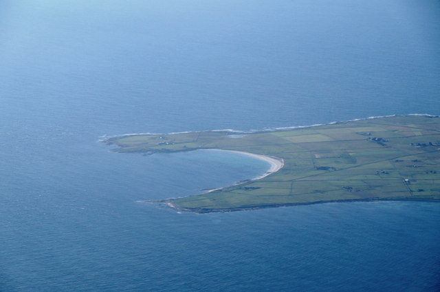
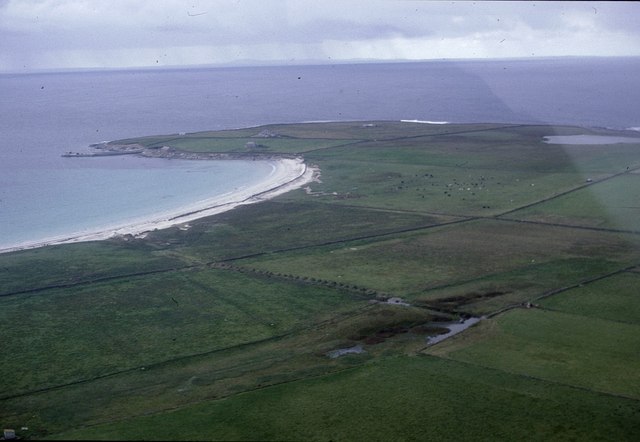
Hindoo Geo is a prominent coastal feature located in Orkney, a group of islands situated off the northeastern coast of Scotland. It is classified as a headland or point, as it juts out into the North Sea, forming a distinct and noticeable projection into the water.
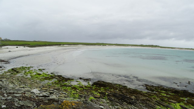
Hindoo Geo is characterized by its rugged and rocky terrain, with towering cliffs that rise dramatically above the sea. The headland is composed of sedimentary rocks, primarily sandstone and flagstone, which have been shaped by the relentless forces of erosion over millions of years. This geological composition gives Hindoo Geo its unique and picturesque appearance.
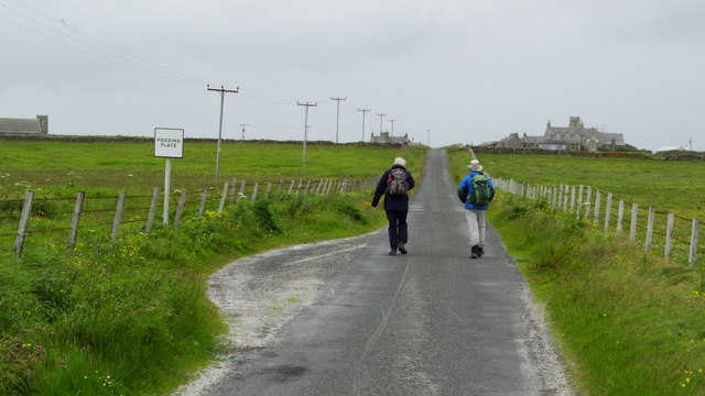
The headland offers breathtaking panoramic views of the surrounding coastal landscape, making it a popular destination for locals and visitors alike. From its vantage point, one can witness the awe-inspiring power of the sea as crashing waves relentlessly pound against the rocky shore.
Hindoo Geo is also known for its rich biodiversity. The surrounding waters are teeming with marine life, and the cliffs provide nesting sites for a variety of seabirds, including puffins, guillemots, and kittiwakes. The headland is an important habitat for these species and plays a crucial role in their breeding and survival.
In addition to its natural beauty and ecological significance, Hindoo Geo also holds historical and cultural importance. The area is dotted with archaeological sites, including ancient settlements and burial mounds dating back thousands of years. These remnants of the past provide a glimpse into the lives of the people who once inhabited this coastal region.
Overall, Hindoo Geo is a captivating coastal feature that offers a unique blend of natural beauty, ecological diversity, and historical significance. It serves as a testament to the dynamic forces of nature and the rich heritage of the Orkney Islands.
If you have any feedback on the listing, please let us know in the comments section below.
Hindoo Geo Images
Images are sourced within 2km of 59.352831/-2.4255862 or Grid Reference HY7551. Thanks to Geograph Open Source API. All images are credited.


Hindoo Geo is located at Grid Ref: HY7551 (Lat: 59.352831, Lng: -2.4255862)
Unitary Authority: Orkney Islands
Police Authority: Highlands and Islands
What 3 Words
///arrive.recur.foreheads. Near Hollandstoun, Orkney Islands
Nearby Locations
Related Wikis

Bustatoun
Bustatoun is a village on the island of North Ronaldsay, in Orkney, Scotland. The settlement is within the parish of Cross and Burness. == References... ==
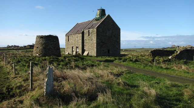
Broch of Burrian
The Broch of Burrian is an Iron Age broch located on North Ronaldsay in the Orkney Islands, in Scotland (grid reference HY76275138). == Location == The...

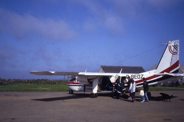
North Ronaldsay Airport
North Ronaldsay Airport (IATA: NRL, ICAO: EGEN) is located on North Ronaldsay island, 28 NM (52 km; 32 mi) northeast by north of Kirkwall, Orkney Islands...

Ancumtoun
Ancumtoun is a small settlement in the north of the island of North Ronaldsay, Orkney, Scotland. The settlement is within the parish of Cross and Burness...
Nearby Amenities
Located within 500m of 59.352831,-2.4255862Have you been to Hindoo Geo?
Leave your review of Hindoo Geo below (or comments, questions and feedback).