South Bay
Bay in Orkney
Scotland
South Bay
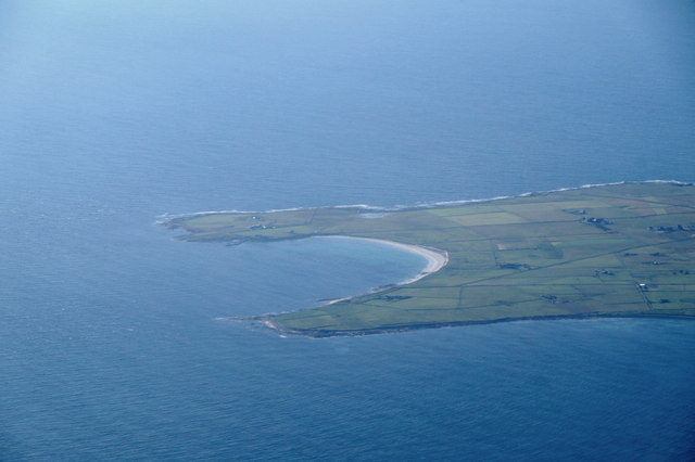
South Bay is a picturesque coastal village located on the southwestern coast of the Orkney Islands in Scotland. Situated on the mainland, it is nestled between the villages of St. Margaret's Hope and Hoxa, and overlooks the stunning waters of Scapa Flow.
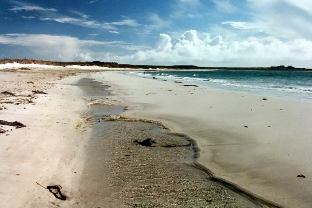
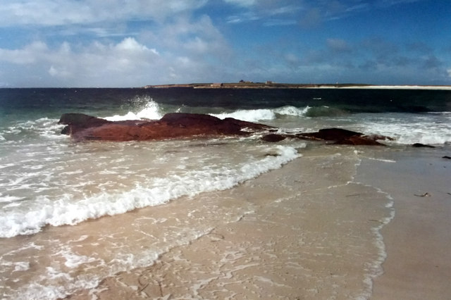
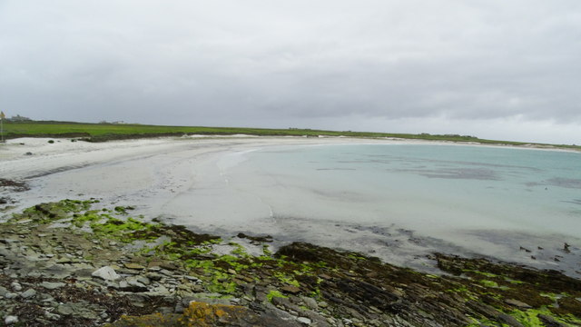
This charming settlement is known for its tranquil and idyllic setting, offering visitors breathtaking panoramic views of the surrounding coastline. The bay itself is a haven for wildlife enthusiasts, as it is home to a diverse range of bird species, including oystercatchers, curlews, and herons. Seals can also often be spotted basking on the rocks near the shore.
South Bay boasts a rich maritime history, with remnants of World War II still visible in the form of the nearby Hoxa Battery, a coastal defense battery that played a crucial role during the war. The area is also known for its connection to the Italian Chapel, a beautiful chapel built by Italian prisoners of war using limited resources.
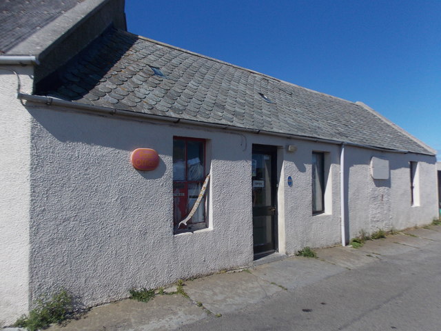
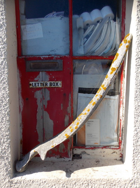
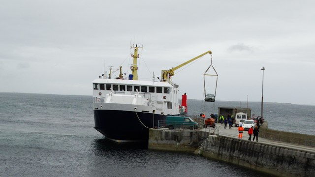
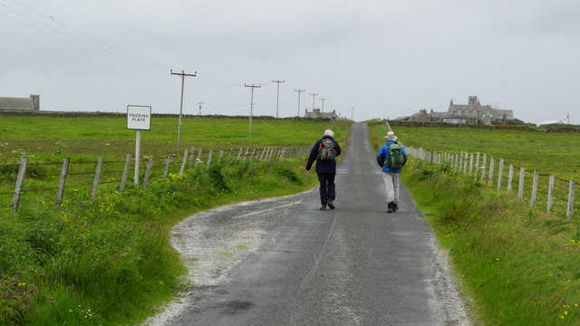
The village offers a peaceful and friendly atmosphere, with a small population that relies on fishing and agriculture as the main sources of income. Visitors can enjoy leisurely walks along the beach, exploring the rugged cliffs, or simply soaking up the tranquility of the surroundings.
Although South Bay is a quiet and secluded village, it is within easy reach of amenities and attractions. The nearby town of St. Margaret's Hope offers a range of shops, restaurants, and accommodation options, making it an ideal base for those looking to explore the rest of the Orkney Islands.
Overall, South Bay is a hidden gem that showcases the natural beauty and rich history of the Orkney Islands, offering visitors a peaceful retreat away from the hustle and bustle of everyday life.
If you have any feedback on the listing, please let us know in the comments section below.
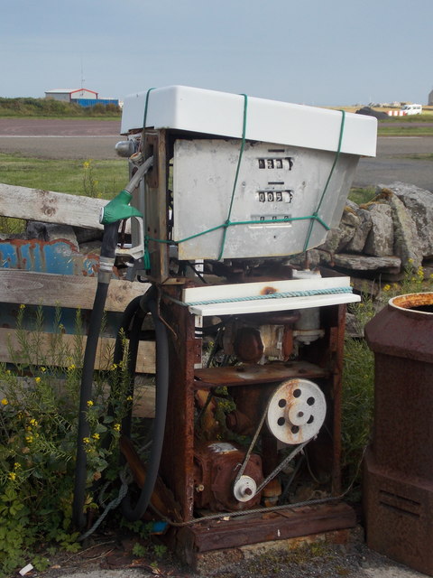
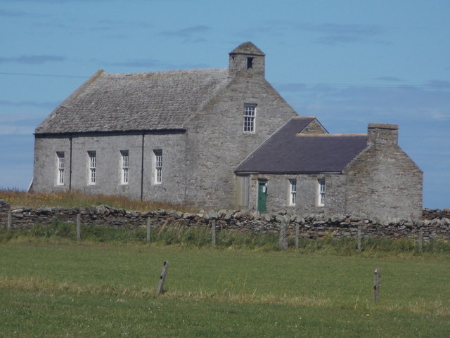
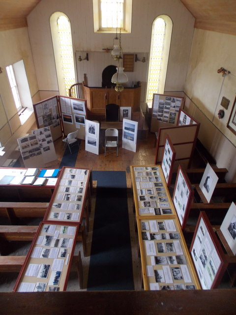
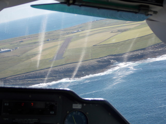
South Bay Images
Images are sourced within 2km of 59.353146/-2.4334686 or Grid Reference HY7551. Thanks to Geograph Open Source API. All images are credited.


South Bay is located at Grid Ref: HY7551 (Lat: 59.353146, Lng: -2.4334686)
Unitary Authority: Orkney Islands
Police Authority: Highlands and Islands
What 3 Words
///committee.superhero.loads. Near Hollandstoun, Orkney Islands
Nearby Locations
Related Wikis

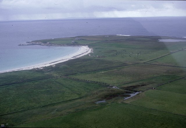
Bustatoun
Bustatoun is a village on the island of North Ronaldsay, in Orkney, Scotland. The settlement is within the parish of Cross and Burness. == References... ==
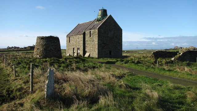
Broch of Burrian
The Broch of Burrian is an Iron Age broch located on North Ronaldsay in the Orkney Islands, in Scotland (grid reference HY76275138). == Location == The...

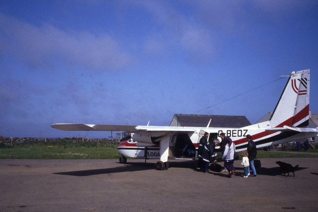
North Ronaldsay Airport
North Ronaldsay Airport (IATA: NRL, ICAO: EGEN) is located on North Ronaldsay island, 28 NM (52 km; 32 mi) northeast by north of Kirkwall, Orkney Islands...

Ancumtoun
Ancumtoun is a small settlement in the north of the island of North Ronaldsay, Orkney, Scotland. The settlement is within the parish of Cross and Burness...
Nearby Amenities
Located within 500m of 59.353146,-2.4334686Have you been to South Bay?
Leave your review of South Bay below (or comments, questions and feedback).