Altars of Linnay

Coastal Feature, Headland, Point in Orkney

Scotland

Altars of Linnay

North Ronaldsay: rocky coastline along Linklet Bay The fine sandy beach just off to our right gives way to this stretch of low rocks, as we look towards the Old Beacon at the distant Dennis Head.
North Ronaldsay: rocky coastline along Linklet Bay Credit: Chris Downer

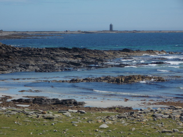
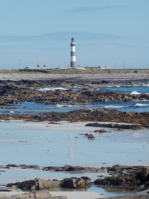
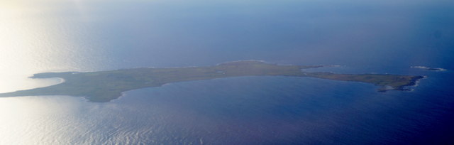
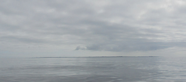
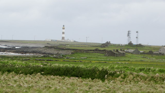
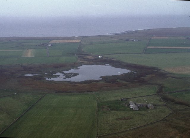
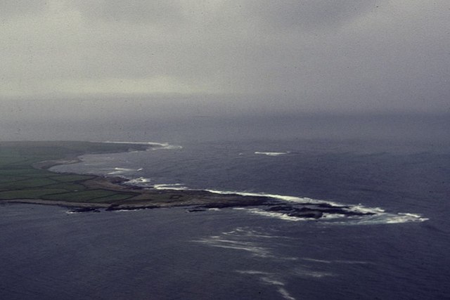
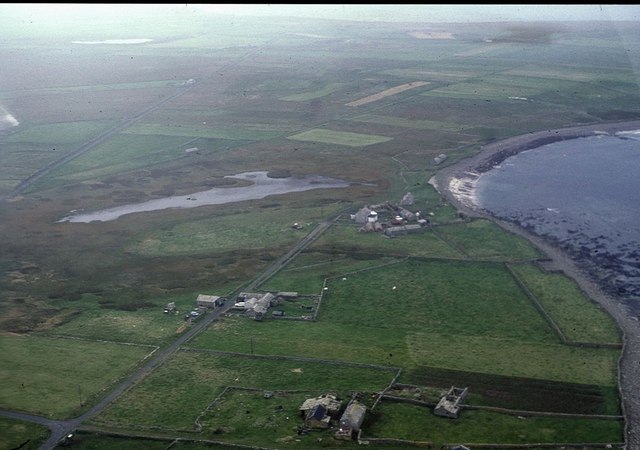
Altars of Linnay is a prominent coastal feature located in Orkney, an archipelago in the northernmost part of Scotland. Situated on the eastern coast of the main island, this headland or point is known for its striking natural beauty and historical significance.

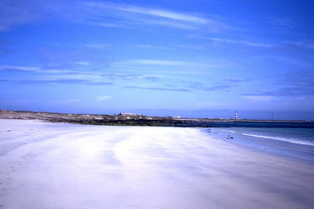
Rising dramatically from the North Sea, Altars of Linnay forms a towering cliff face that stretches for approximately 100 meters. The headland is composed of rugged sandstone, which has been shaped over thousands of years by the relentless force of the waves crashing against it. This geological formation creates a stunning backdrop against the deep blue sea.

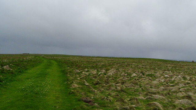
The name "Altars of Linnay" is derived from the Norse word "linn" meaning "precipice" or "cliff." It is believed that this name was given due to the imposing nature of the headland. The area surrounding Altars of Linnay is rich in flora and fauna, with various species of seabirds nesting on the cliffs, such as fulmars and guillemots.

In addition to its natural beauty, Altars of Linnay holds historical significance. The headland is home to the remains of an ancient settlement, dating back to the Neolithic period. Archaeological excavations have unearthed evidence of human occupation, including stone tools, pottery fragments, and animal bones. These findings provide insights into the lives of the early inhabitants of Orkney and their interaction with the coastal landscape.

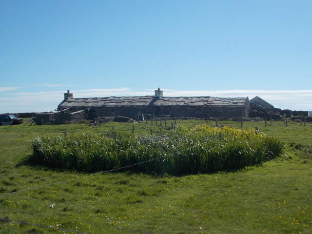
Altars of Linnay is a popular destination for nature enthusiasts, hikers, and history lovers, who are drawn to its breathtaking vistas and cultural heritage. The headland offers a sense of tranquility, allowing visitors to connect with the raw power of nature and the rich history of this remarkable coastal feature.

If you have any feedback on the listing, please let us know in the comments section below.

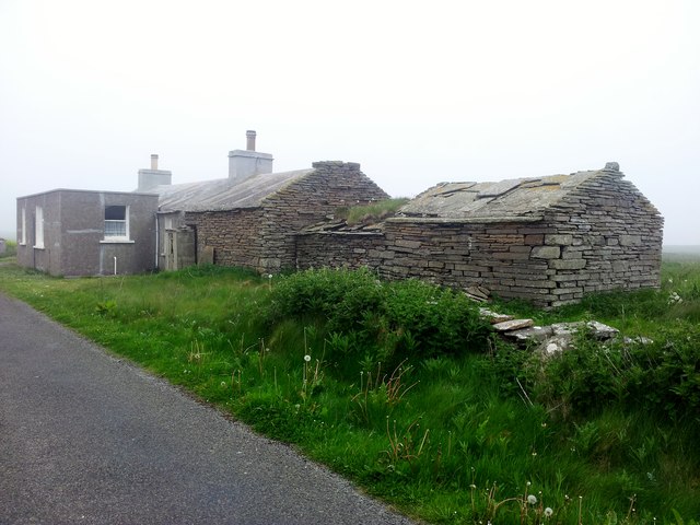
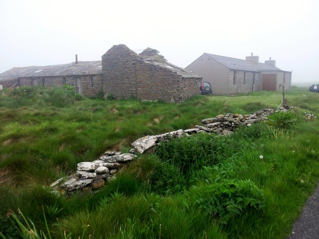
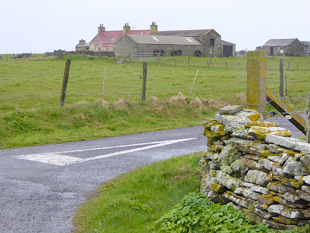
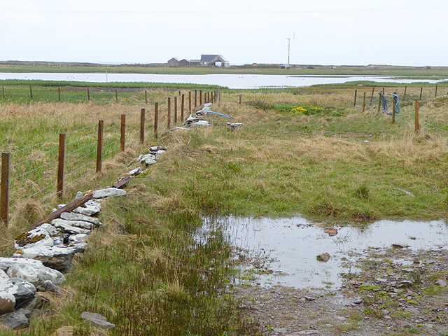
Altars of Linnay Images

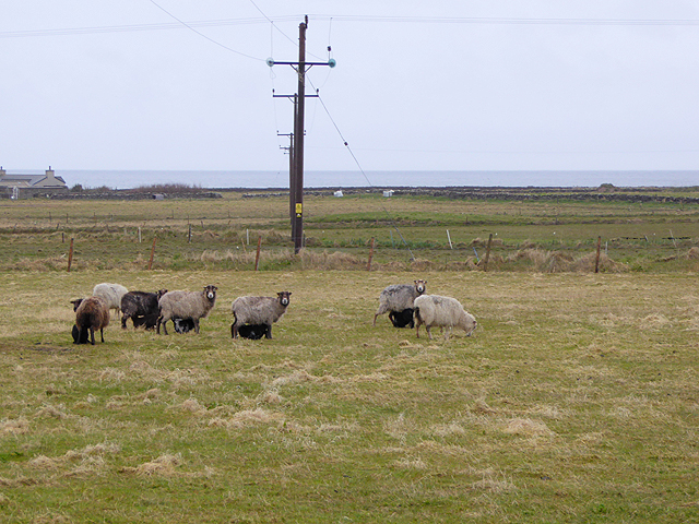
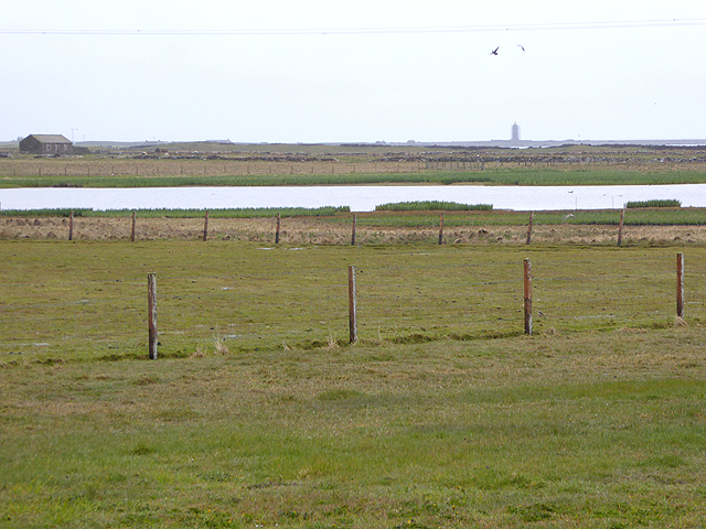
Images are sourced within 2km of 59.389976/-2.4271786 or Grid Reference HY7556. Thanks to Geograph Open Source API. All images are credited.

North Ronaldsay: rocky coastline along Linklet Bay The fine sandy beach just off to our right gives way to this stretch of low rocks, as we look towards the Old Beacon at the distant Dennis Head.
North Ronaldsay: rocky coastline along Linklet Bay
The fine sandy beach just off to our right gives way to this stretch of low rocks, as we look towards the Old Beacon at the distant Dennis Head.
North Ronaldsay: a typical island croft house Many of the croft houses of North Ronaldsay have these flagstone roofs; it seems to be a particular feature of this island.
North Ronaldsay: a typical island croft house
Many of the croft houses of North Ronaldsay have these flagstone roofs; it seems to be a particular feature of this island.
North Ronaldsay: rocks, sand and a lighthouse view Looking across the northwest edge of Linklet Bay, the distant lighthouse faintly reflected in the sand between outcrops of rock.
North Ronaldsay: rocks, sand and a lighthouse view
Looking across the northwest edge of Linklet Bay, the distant lighthouse faintly reflected in the sand between outcrops of rock.
North Ronaldsay from the air
North Ronaldsay emerging from the gloom
On North Ronaldsay - View along Garso Wick to Lighthouse
On North Ronaldsay - view W along track towards Ancumtoun
Sands at Linklet Bay, North Ronaldsay
Ancum Loch, North Ronaldsay, from the air Taken from a helicopter.
Ancum Loch, North Ronaldsay, from the air
Taken from a helicopter.
Green Skerry, North Ronaldsay, from the air Taken from a helicopter; Lens Wick and Torness beyond.
Green Skerry, North Ronaldsay, from the air
Taken from a helicopter; Lens Wick and Torness beyond.
Loch of Garso, North Ronaldsay, from the air With Garso Wick to the north.
Loch of Garso, North Ronaldsay, from the air
With Garso Wick to the north.
Upper Linnay, Brigg and Burray, North Ronaldsay From the edge of Torness.
Upper Linnay, Brigg and Burray, North Ronaldsay
From the edge of Torness.
Parkhouse, North Ronaldsay A traditional North Ronaldsay house with an old fashion but more recent extension.
Parkhouse, North Ronaldsay
A traditional North Ronaldsay house with an old fashion but more recent extension.
Old And Newer Dwellings At Ancum
Antabreck Farm
Antabreck Farm
Ancum Loch
Ancum Loch
Sheep in field at Linklet Power lines cross the fields.
Sheep in field at Linklet
Power lines cross the fields.
Ancum Loch The Old Beacon <a href="https://www.geograph.org.uk/gridref/HY7955">HY7955</a> at the north-east tip of the island can be seen in the distance.
Ancum Loch
The Old Beacon HY7955 at the north-east tip of the island can be seen in the distance.
Show me another place!

Altars of Linnay is located at Grid Ref: HY7556 (Lat: 59.389976, Lng: -2.4271786)

Unitary Authority: Orkney Islands

Police Authority: Highlands and Islands

What 3 Words

///attention.fuses.shuts. Near Hollandstoun, Orkney Islands

Nearby Locations

Altars of Linnay

Related Wikis

Ancumtoun

Ancumtoun is a small settlement in the north of the island of North Ronaldsay, Orkney, Scotland. The settlement is within the parish of Cross and Burness...

North Ronaldsay Airport

North Ronaldsay Airport (IATA: NRL, ICAO: EGEN) is located on North Ronaldsay island, 28 NM (52 km; 32 mi) northeast by north of Kirkwall, Orkney Islands...

Bustatoun

Bustatoun is a village on the island of North Ronaldsay, in Orkney, Scotland. The settlement is within the parish of Cross and Burness. == References... ==

Broch of Burrian

The Broch of Burrian is an Iron Age broch located on North Ronaldsay in the Orkney Islands, in Scotland (grid reference HY76275138). == Location == The...

Nearby Amenities

Located within 500m of 59.389976,-2.4271786
Altars of Linnay
Place: locality
Lat/Long: 59.3900838/-2.4274705
Save Geo
Natural: bay
Lat/Long: 59.3875161/-2.4296163
Tidal Pond
Natural: bay
Lat/Long: 59.3878493/-2.4254535
Lenswick
Natural: bay
Wikidata: Q24640535
Lat/Long: 59.3886046/-2.4204485
Point of Savegeo
Place: locality
Lat/Long: 59.3872606/-2.4318854
The data included in this document is from www.openstreetmap.org. The data is made available under ODbL.

Have you been to Altars of Linnay?

Leave your review of Altars of Linnay below (or comments, questions and feedback).