Lower Arncott
Settlement in Oxfordshire Cherwell
England
Lower Arncott
The requested URL returned error: 429 Too Many Requests
If you have any feedback on the listing, please let us know in the comments section below.
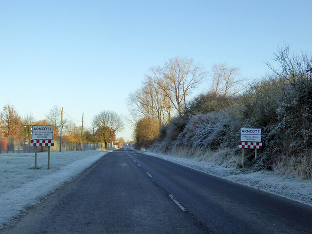
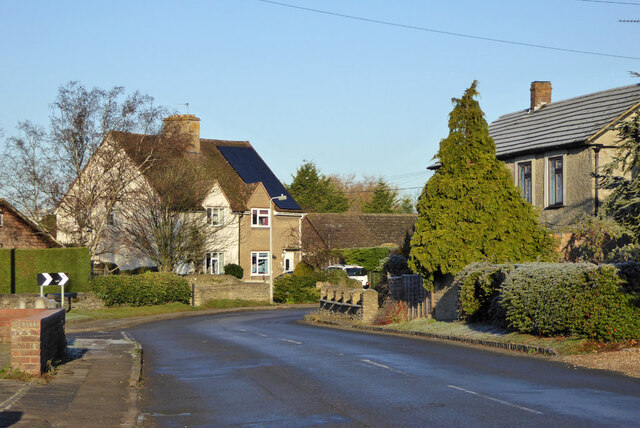
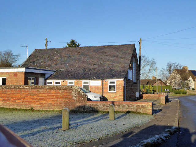
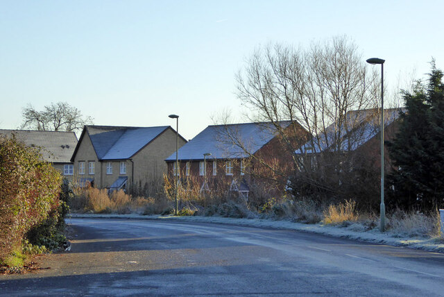
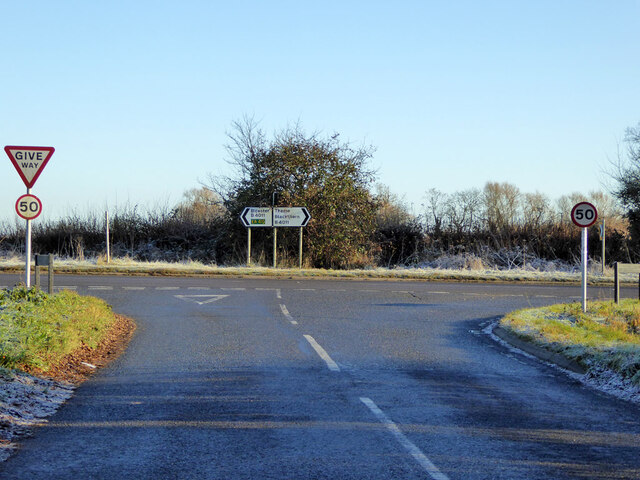
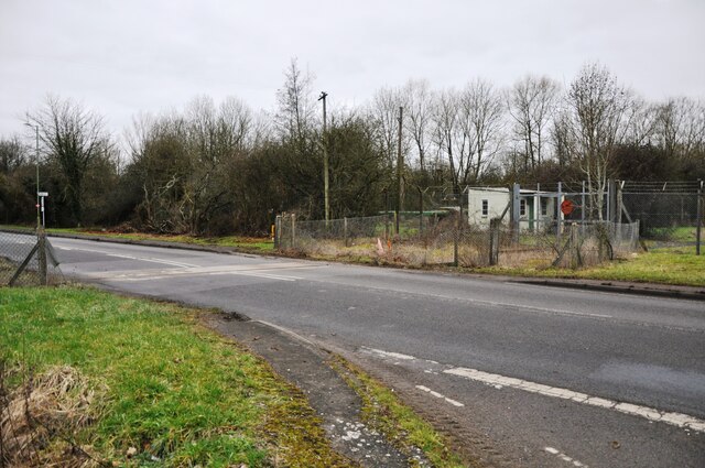
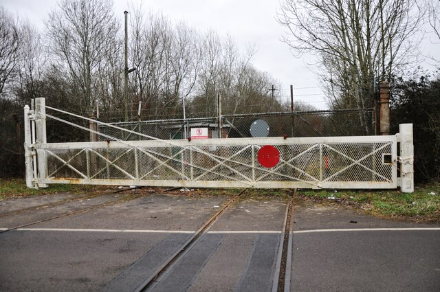
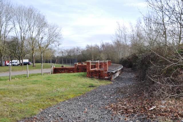
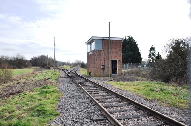
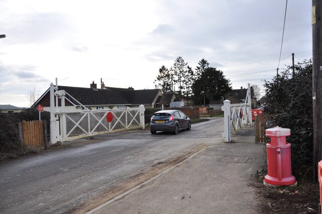
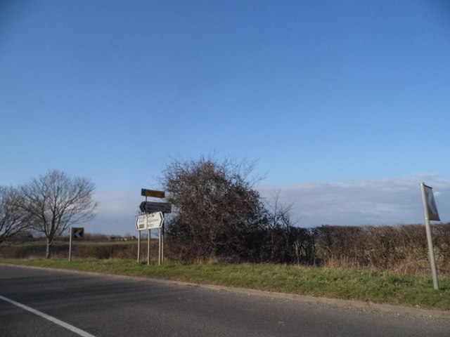
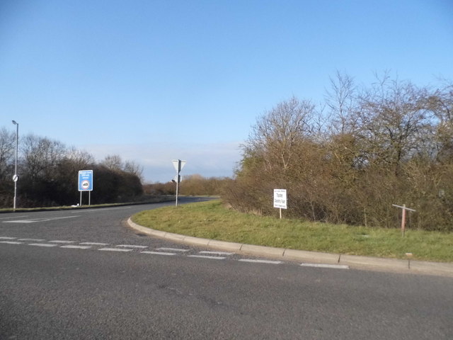
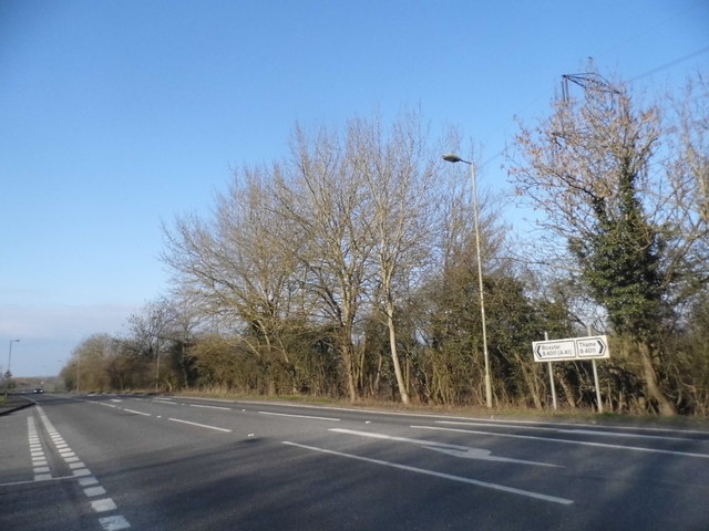
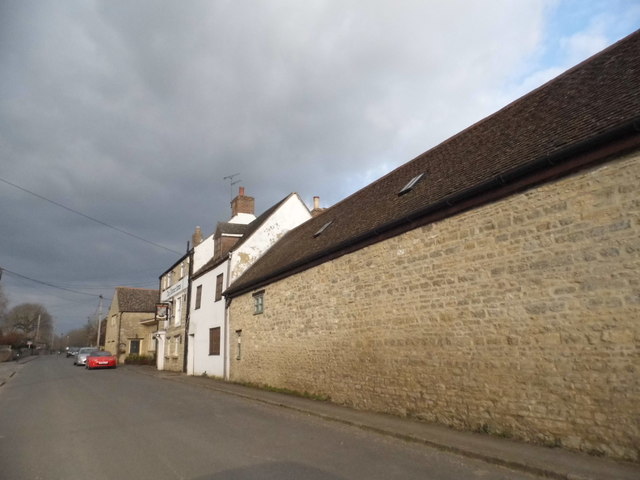
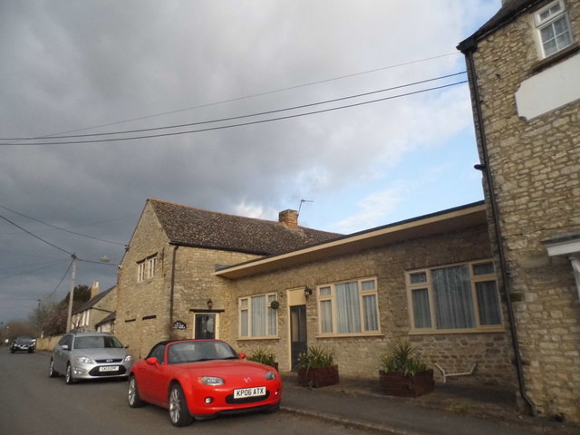
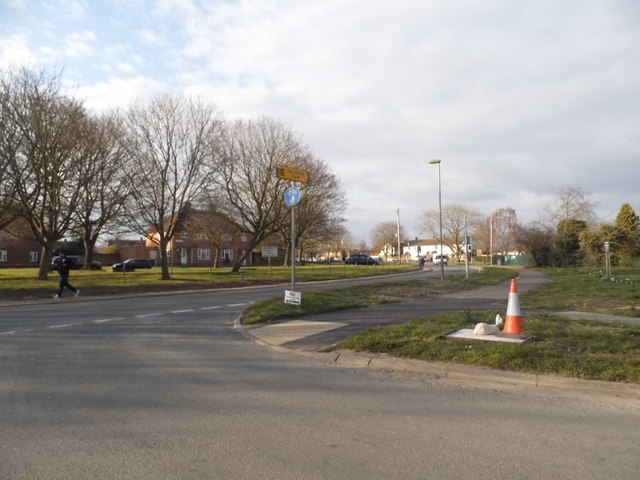
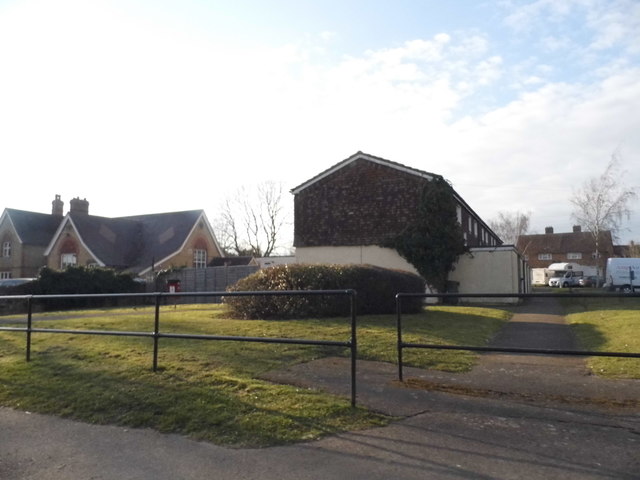
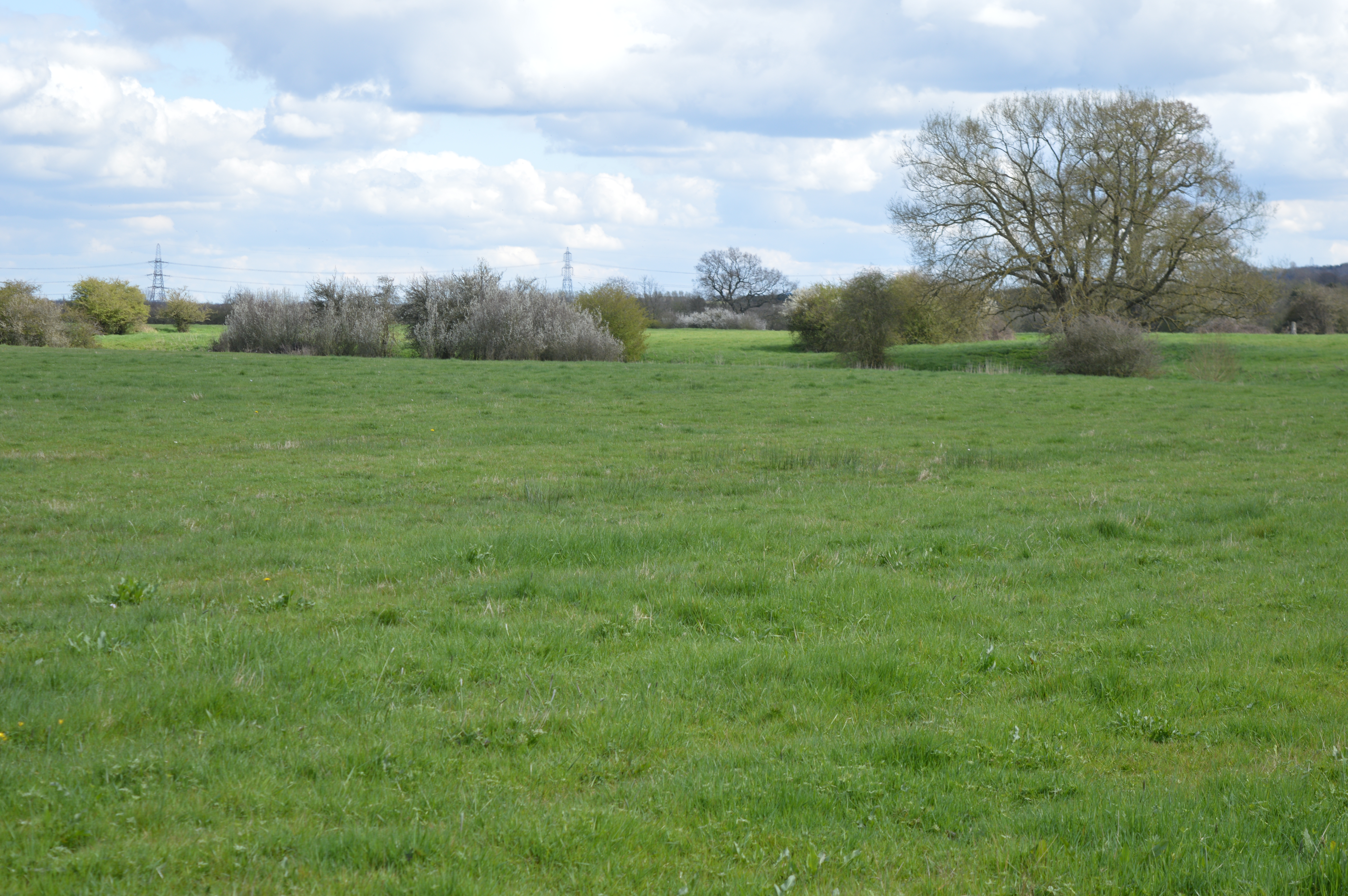
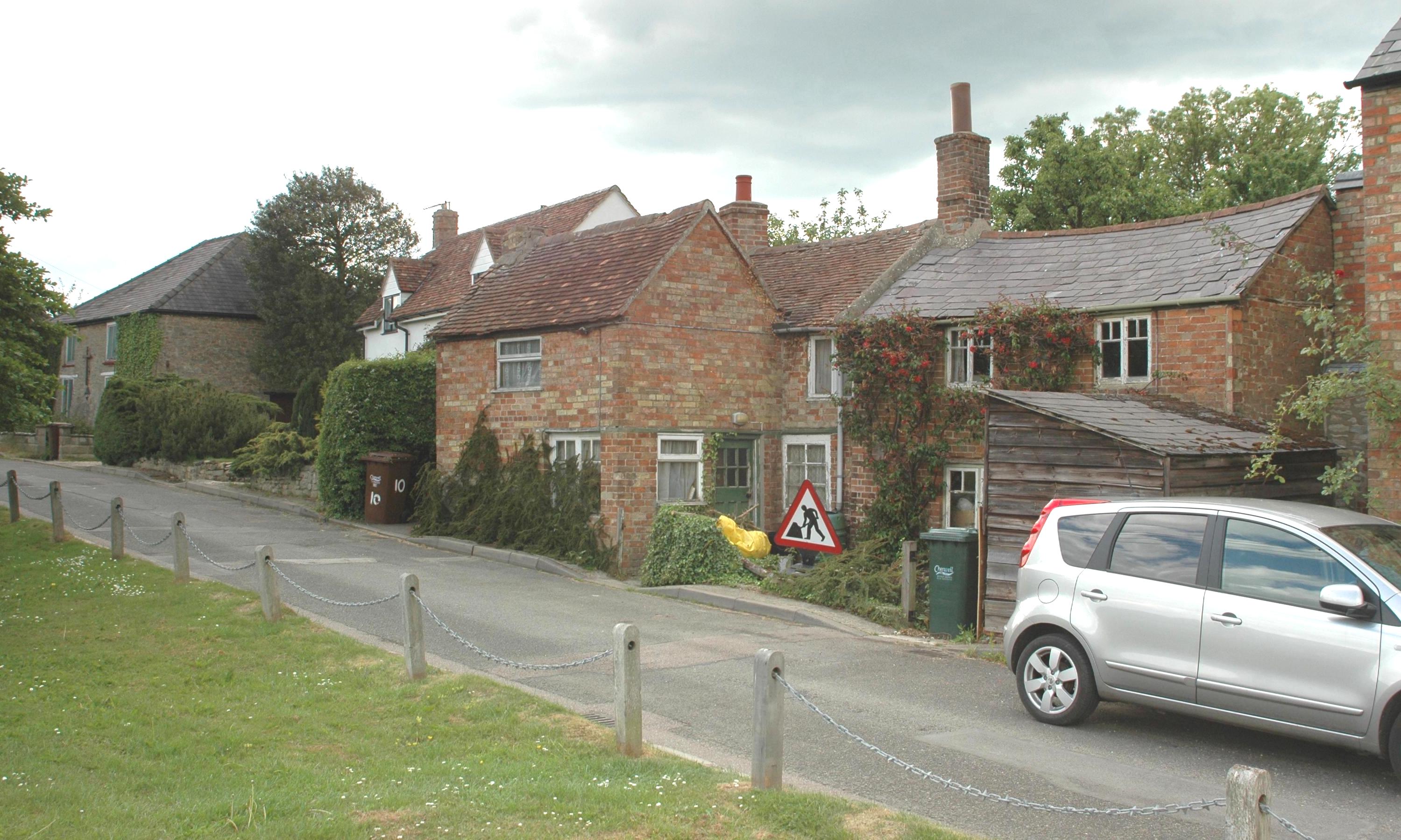
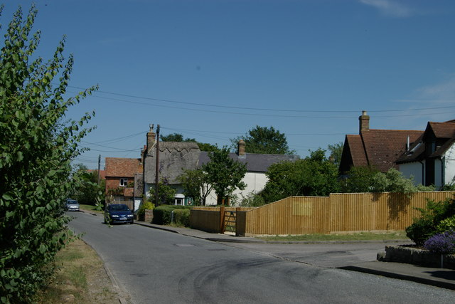
Lower Arncott Images
Images are sourced within 2km of 51.85796/-1.115038 or Grid Reference SP6118. Thanks to Geograph Open Source API. All images are credited.

Lower Arncott is located at Grid Ref: SP6118 (Lat: 51.85796, Lng: -1.115038)
Administrative County: Oxfordshire
District: Cherwell
Police Authority: Thames Valley
What 3 Words
///remover.telephone.landed. Near Ambrosden, Oxfordshire
Nearby Locations
Related Wikis
Arncott Bridge Meadows
Arncott Bridge Meadows is an 8.7-hectare (21-acre) biological Site of Special Scientific Interest in Arncott in Oxfordshire.The site is adjacent to the...
Arncott
Arncott or Arncot is a village and civil parish about 3+1⁄2 miles (5.6 km) southeast of Bicester in Oxfordshire. The 2011 Census recorded the parish's...
Blackthorn, Oxfordshire
Blackthorn is a village and civil parish in the Cherwell District of Oxfordshire about 3 miles (5 km) southeast of Bicester. The parish is bounded by the...

Bicester Military Railway
The Bicester Military Railway (BMR) is a railway in Oxfordshire, England belonging to the Ministry of Defence. It links military depots at Piddington,...
Nearby Amenities
Located within 500m of 51.85796,-1.115038Have you been to Lower Arncott?
Leave your review of Lower Arncott below (or comments, questions and feedback).