Arncott, Lower
Settlement in Oxfordshire Cherwell
England
Arncott, Lower
Arncott is a small village located in Lower Oxfordshire, England. Situated approximately 14 miles northwest of Oxford, it falls within the Cherwell district. With a population of around 1,500 residents, Arncott is a quiet and close-knit community.
Historically, Arncott has had a rural and agricultural character, with farming being a significant industry in the area. The village is surrounded by beautiful countryside, making it an attractive place for those seeking a peaceful and idyllic lifestyle.
Arncott is home to several amenities that cater to the needs of its residents. These include a local primary school, a village hall, a post office, and a pub. The village also has a strong sense of community, with various events and social activities taking place throughout the year.
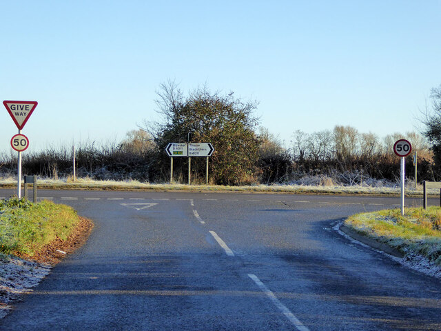
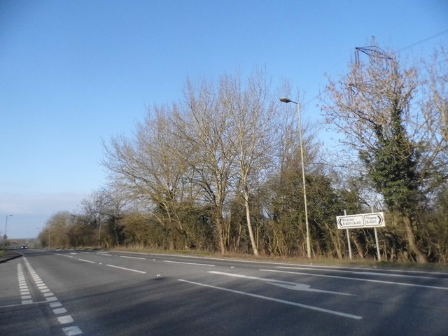
In terms of transportation, Arncott is well-connected to nearby towns and cities. The village is situated close to major roads, including the A41 and A34, providing easy access to Oxford, Bicester, and other neighboring areas. Public transportation is also available, with regular bus services connecting Arncott to nearby towns.
The surrounding area offers plenty of opportunities for outdoor activities and exploration. There are several walking paths and nature reserves nearby, allowing residents to enjoy the natural beauty of the Oxfordshire countryside.
Overall, Arncott offers a peaceful and picturesque setting for those seeking a rural lifestyle while still being within reach of urban amenities and transport links.
If you have any feedback on the listing, please let us know in the comments section below.
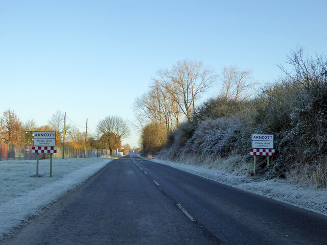
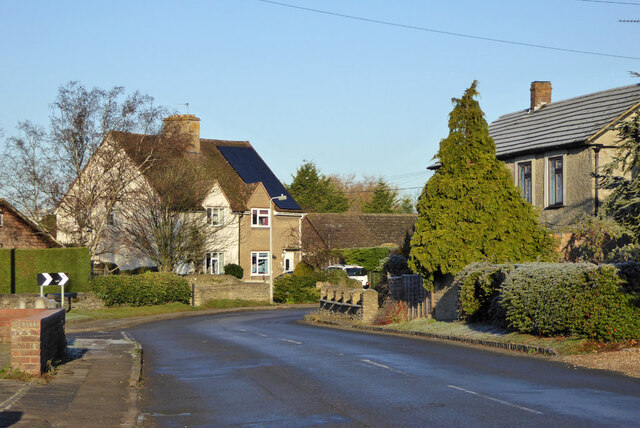
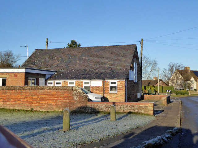
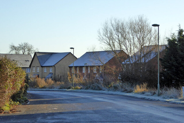
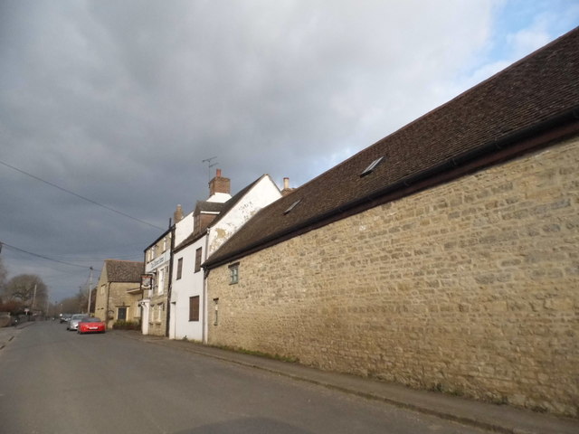
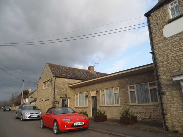
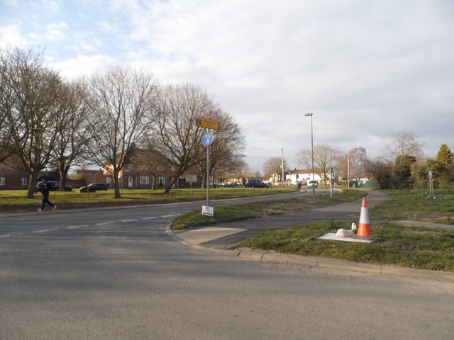
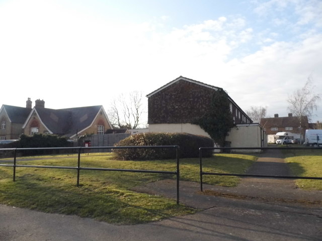
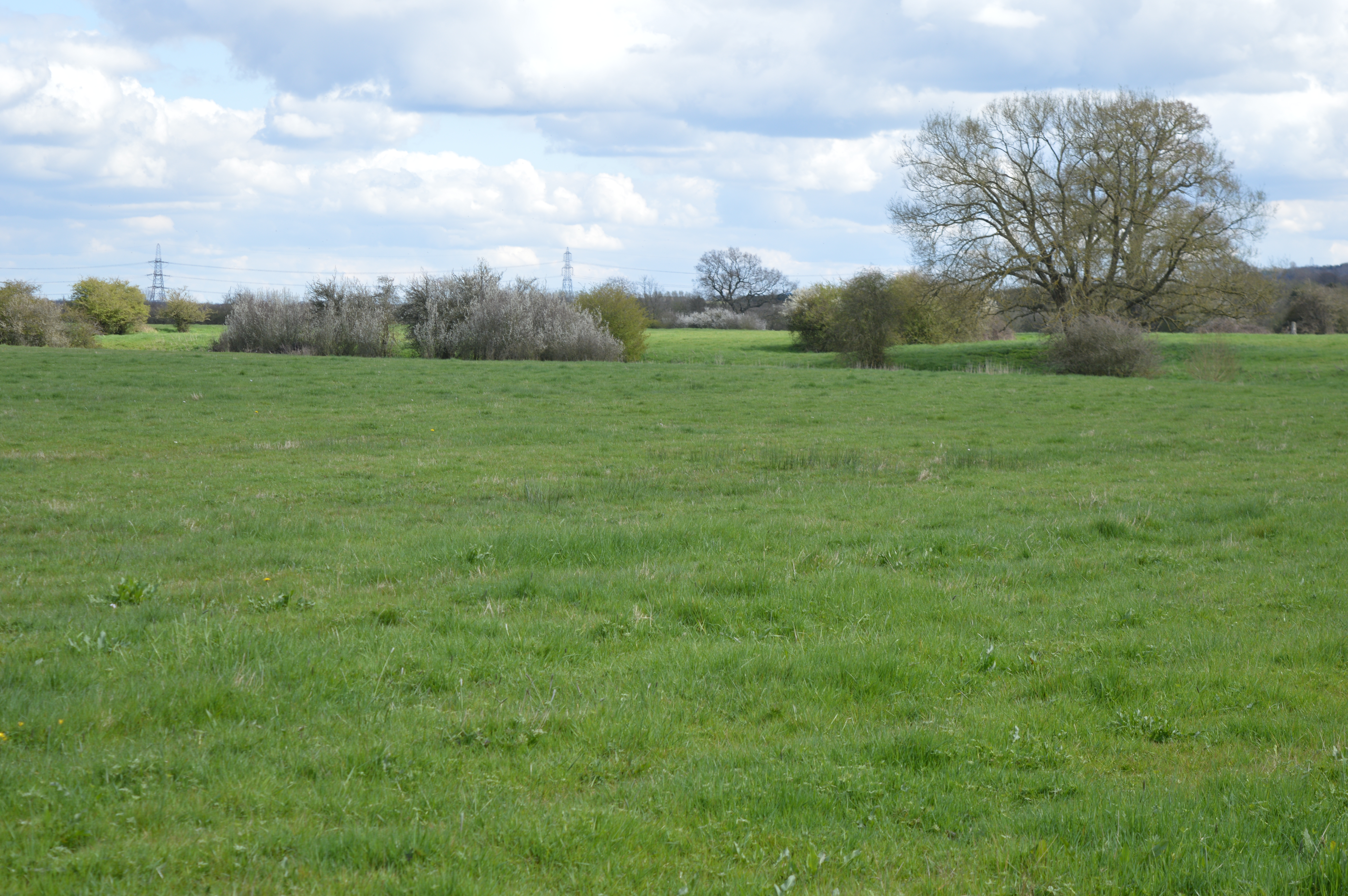
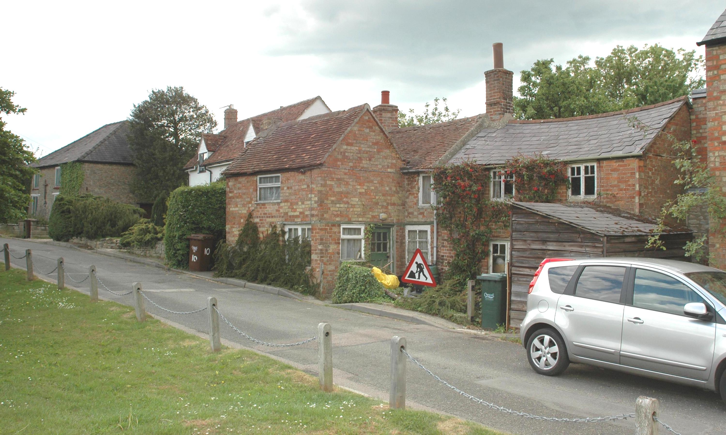
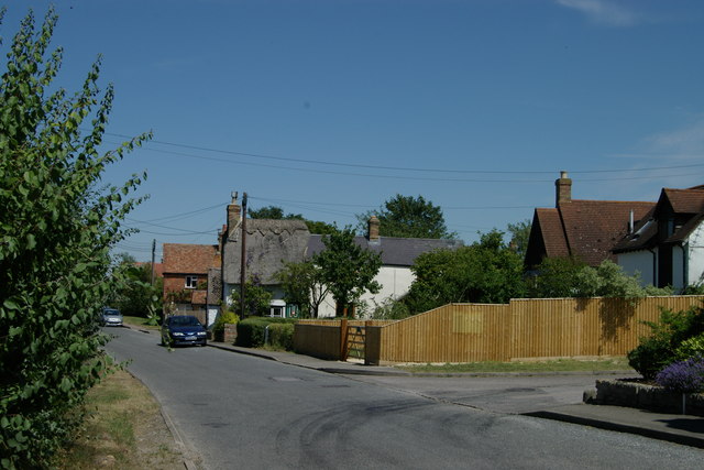
Arncott, Lower Images
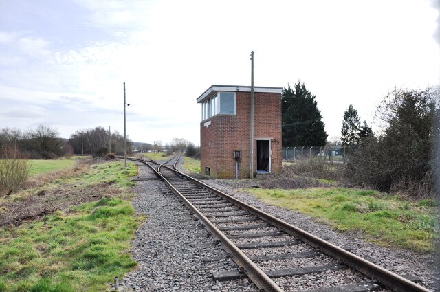
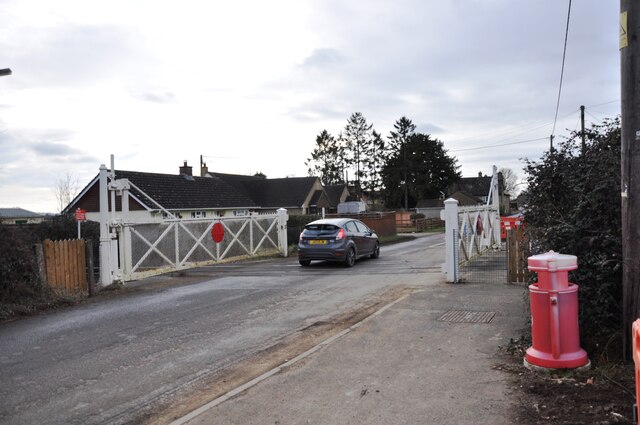
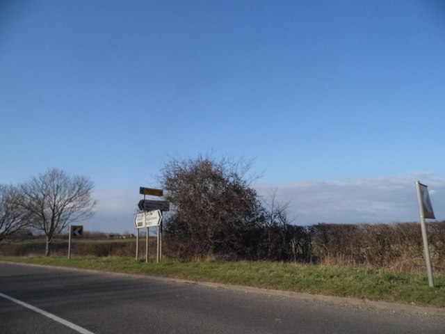
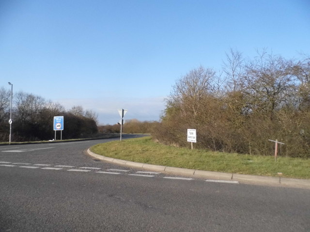
Images are sourced within 2km of 51.85796/-1.115038 or Grid Reference SP6118. Thanks to Geograph Open Source API. All images are credited.

Arncott, Lower is located at Grid Ref: SP6118 (Lat: 51.85796, Lng: -1.115038)
Administrative County: Oxfordshire
District: Cherwell
Police Authority: Thames Valley
What 3 Words
///remover.telephone.landed. Near Ambrosden, Oxfordshire
Nearby Locations
Related Wikis
Arncott Bridge Meadows
Arncott Bridge Meadows is an 8.7-hectare (21-acre) biological Site of Special Scientific Interest in Arncott in Oxfordshire.The site is adjacent to the...
Arncott
Arncott or Arncot is a village and civil parish about 3+1⁄2 miles (5.6 km) southeast of Bicester in Oxfordshire. The 2011 Census recorded the parish's...
Blackthorn, Oxfordshire
Blackthorn is a village and civil parish in the Cherwell District of Oxfordshire about 3 miles (5 km) southeast of Bicester. The parish is bounded by the...

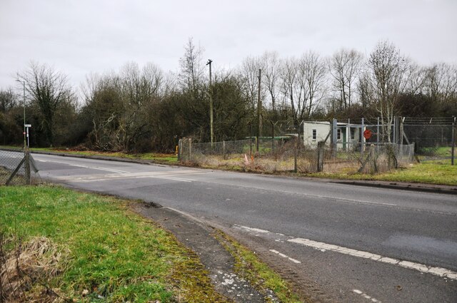
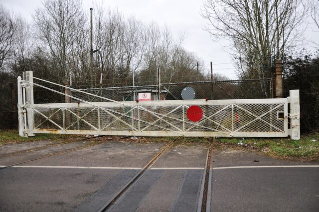
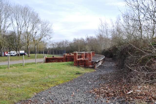
Bicester Military Railway
The Bicester Military Railway (BMR) is a railway in Oxfordshire, England belonging to the Ministry of Defence. It links military depots at Piddington,...
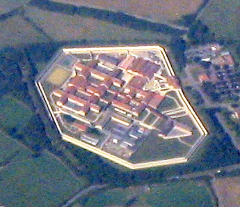
HM Prison Bullingdon
HM Prison and Young Offenders Institute Bullingdon is a prison in Oxfordshire, England. It is a public sector prison operated by HM Prison and Probation...

Ambrosden
Ambrosden is a village and civil parish in Cherwell, Oxfordshire, England, 3 miles (5 km) southwest of Bicester to which it is linked by the A41 road,...
Blackthorn railway station
Blackthorn railway station was a railway station serving the village of Blackthorn, Oxfordshire, England. It was on what is now known as the Chiltern Main...

Piddington, Oxfordshire
Piddington is a village and civil parish about 4.5 miles (7 km) southeast of Bicester in Oxfordshire, England. It lies close to the border with Buckinghamshire...
Nearby Amenities
Located within 500m of 51.85796,-1.115038Have you been to Arncott, Lower?
Leave your review of Arncott, Lower below (or comments, questions and feedback).