Lower Ardtun
Settlement in Argyllshire
Scotland
Lower Ardtun
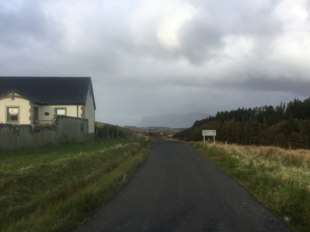
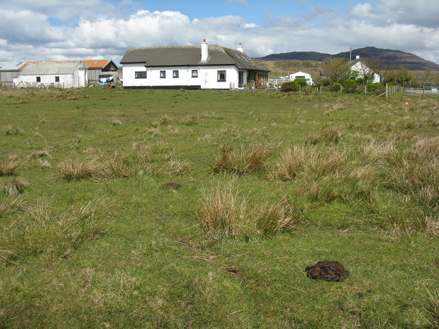
Lower Ardtun is a small village located in the region of Argyllshire, in Scotland. Situated on the western coast of the country, it is surrounded by picturesque landscapes and offers a tranquil setting for residents and visitors alike. The village is part of the larger community of Ardtun, which also includes Upper Ardtun.
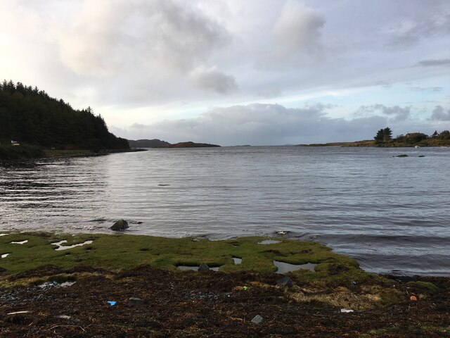
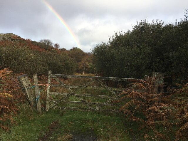
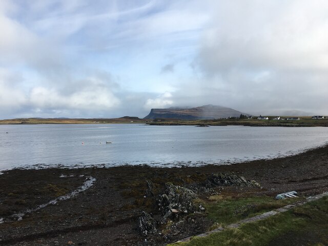
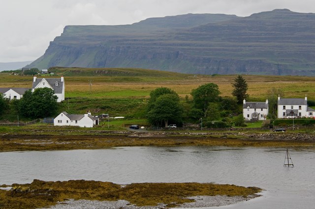
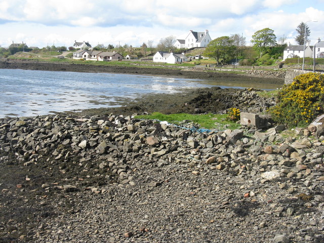
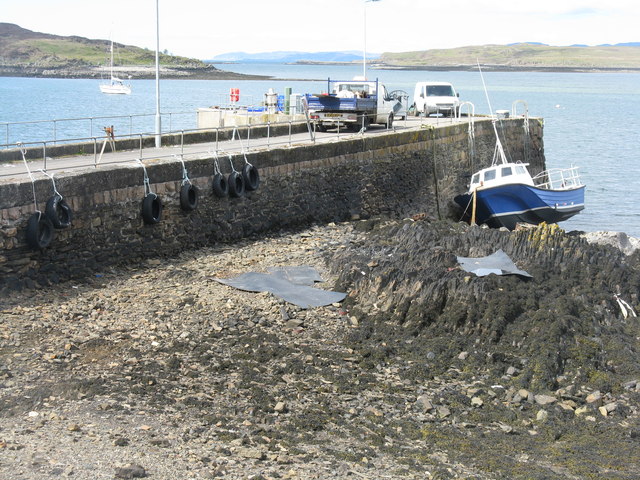
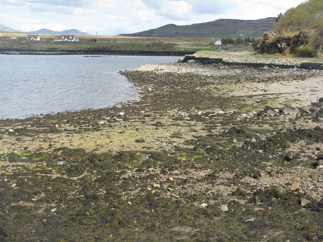
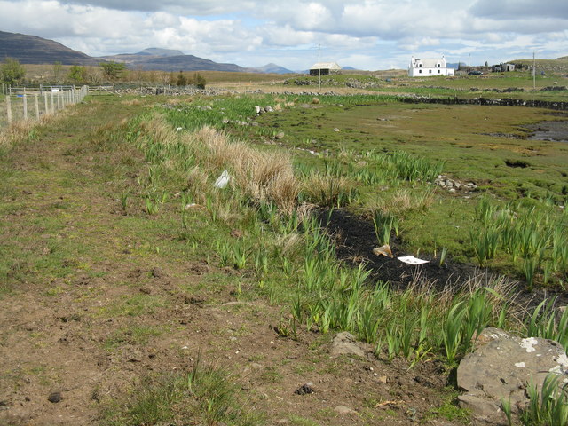
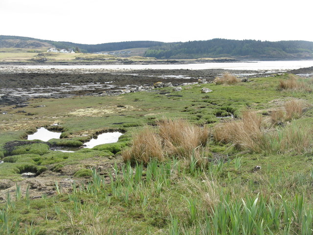
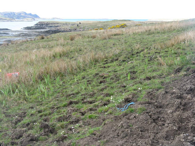
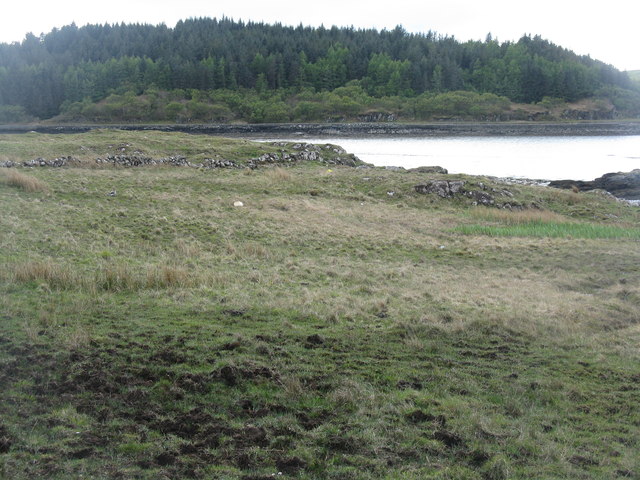
Lower Ardtun is known for its stunning natural beauty, with rolling hills, lush green fields, and breathtaking views of the nearby Loch Scridain. The village is a popular destination for outdoor enthusiasts, offering opportunities for hiking, fishing, and birdwatching. Its close proximity to the coast also makes it a great spot for beachcombing and enjoying the coastal scenery.
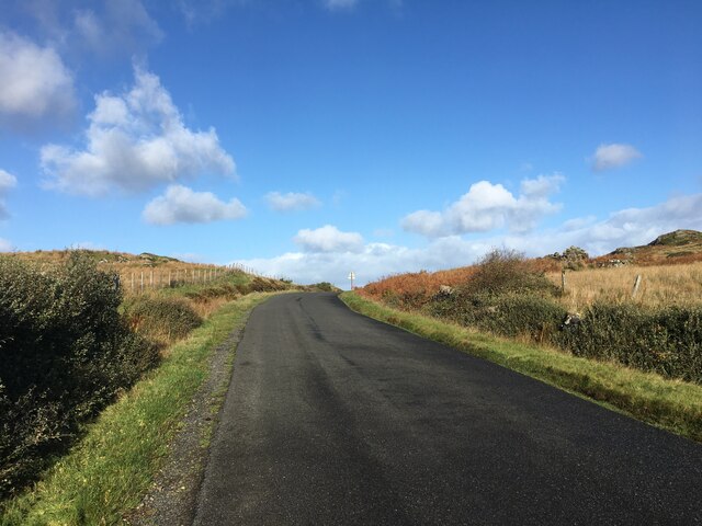
Despite its remote location, Lower Ardtun is well connected to the surrounding areas. The village can be accessed via the A849 road, which runs through the region, providing easy access to nearby towns and attractions. The nearest major town is Bunessan, which is approximately 5 miles away.
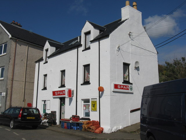
In terms of amenities, Lower Ardtun has a small number of local businesses, including a convenience store and a pub. For more extensive shopping and dining options, residents and visitors often travel to Bunessan or other nearby towns.
Overall, Lower Ardtun offers a peaceful and idyllic retreat for those seeking to escape the hustle and bustle of city life and immerse themselves in the natural beauty of the Scottish countryside.
If you have any feedback on the listing, please let us know in the comments section below.
Lower Ardtun Images
Images are sourced within 2km of 56.317732/-6.2386581 or Grid Reference NM3822. Thanks to Geograph Open Source API. All images are credited.
Lower Ardtun is located at Grid Ref: NM3822 (Lat: 56.317732, Lng: -6.2386581)
Unitary Authority: Argyll and Bute
Police Authority: Argyll and West Dunbartonshire
What 3 Words
///fractions.floating.sting. Near Fionnphort, Argyll & Bute
Nearby Locations
Related Wikis

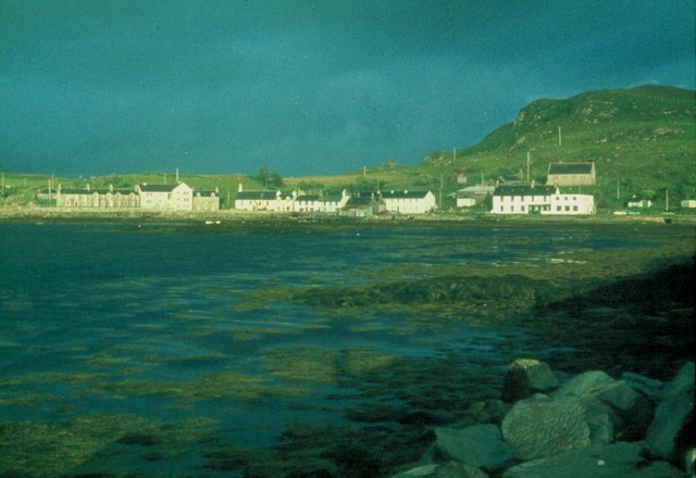
Bunessan
Bunessan (Scottish Gaelic: Bun Easain) is a small village on the Ross of Mull in the south-west of the Isle of Mull, off the west coast of Scotland. The...

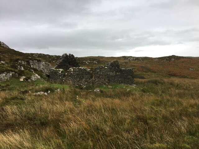
Suidhe
Suidhe (Scottish Gaelic: Suidhe) is a ruined township located on the southwestern peninsula of the Isle of Mull, Scotland. It lies just over 1 km to the...

Ardtun
Ardtun (Scottish Gaelic: Àird Tunna) is a settlement on the Isle of Mull, in Argyll and Bute, Scotland. Ardtun is within the parish of Kilfinichen and...

Knocknafenaig
Knocknafenaig (Scottish Gaelic: Cnoc na Fennaig) is a ruined township on the Isle of Mull, Scotland. Located in the south-western portion of the island...

Knockan
Knockan (Scottish Gaelic: An Cnocan) is a township of six crofts in the community of Ardtun, in the south of the Isle of Mull off the west coast of Scotland...

Ross of Mull
The Ross of Mull (Scottish Gaelic: An Ros Mhuileach) is the largest peninsula of the Isle of Mull, about 28 kilometres (17 mi) long, and makes up the south...

Ardalanish
Ardalanish (Scottish Gaelic: Àird Dealanais) is a village on the Isle of Mull in Argyll and Bute, Scotland. It is now an organic farm and weaving mill...

Uisken
Uisken (Scottish Gaelic: Uisgean, meaning "water-bay") is a settlement on a sandy bay on the Ross of Mull in the south of the Isle of Mull, on the west...
Nearby Amenities
Located within 500m of 56.317732,-6.2386581Have you been to Lower Ardtun?
Leave your review of Lower Ardtun below (or comments, questions and feedback).