Ardtun, Lower

Settlement in Argyllshire

Scotland

Ardtun, Lower

A849 towards Bunessan
A849 towards Bunessan Credit: Steven Brown

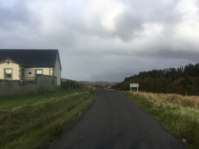
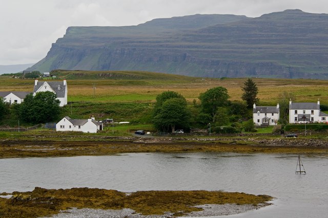
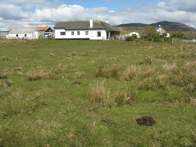
Ardtun is a small village located in the Lower region of Argyllshire, Scotland. Situated on the western coast of the country, this picturesque settlement offers stunning views of the surrounding landscape. With a population of around 200 residents, Ardtun is known for its tranquility and peaceful atmosphere.

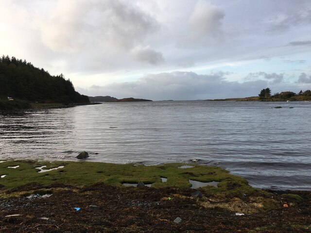
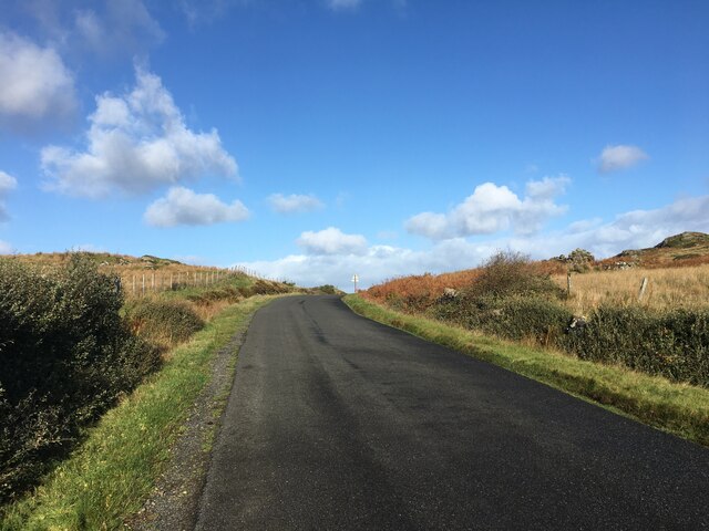
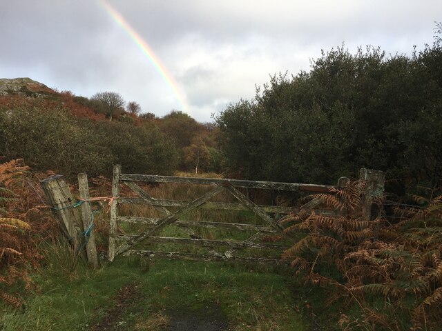
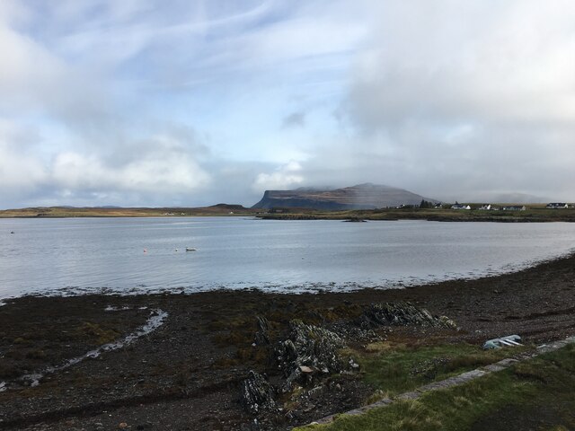
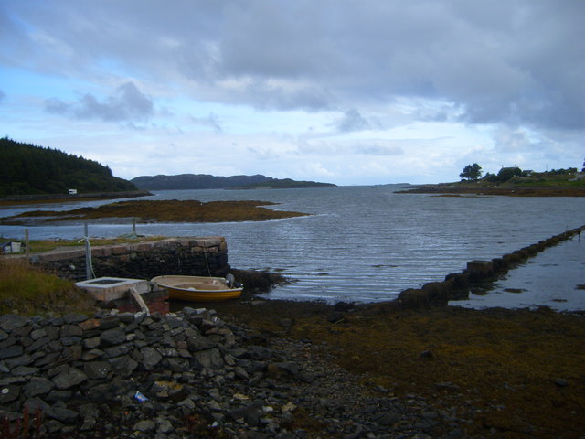
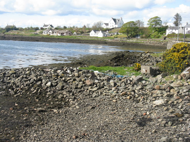
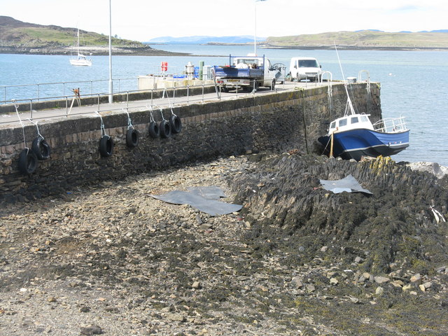
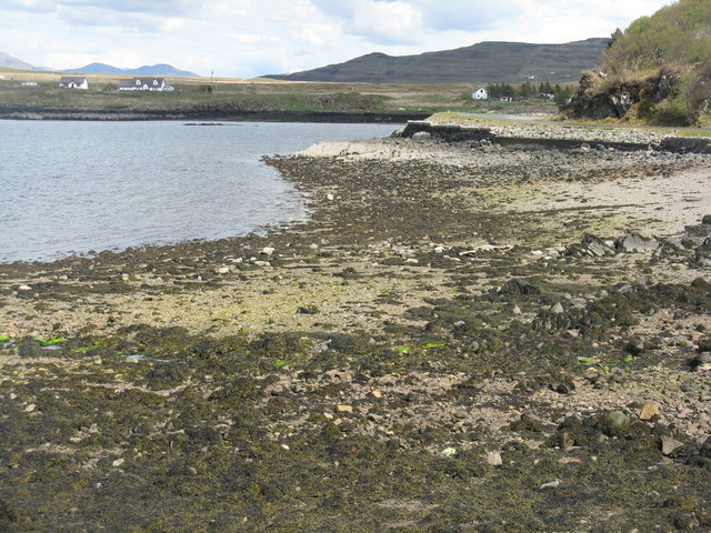
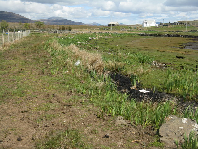
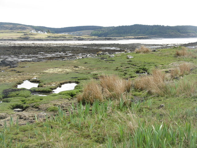
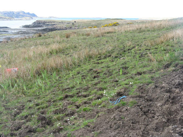
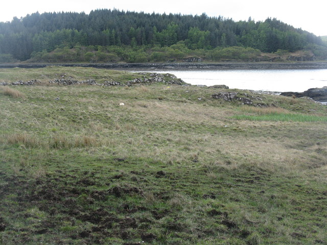
The village is renowned for its rugged coastline, which is characterized by towering cliffs and secluded coves. The area is a haven for nature enthusiasts, with opportunities for coastal walks, birdwatching, and exploring the diverse marine life. The nearby Ardtun Peninsula offers breathtaking panoramic vistas, making it a popular spot for photographers and artists.

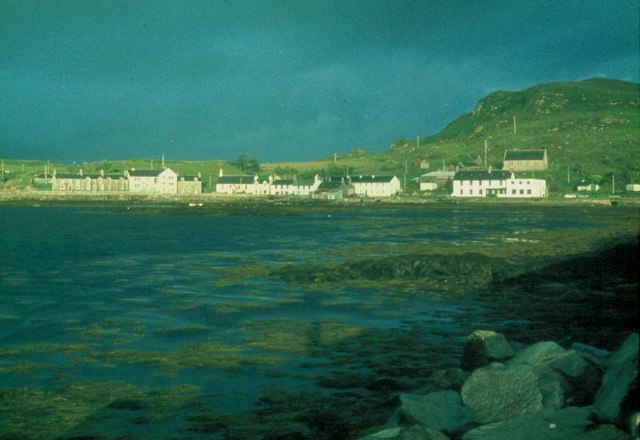
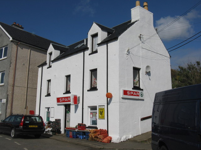
Ardtun itself features a scattering of traditional stone cottages, giving it a quaint and rustic charm. The village is also home to a small community center, which serves as a gathering place for locals and hosts occasional events throughout the year. While Ardtun lacks major amenities, residents can find essential services and shops in the nearby town of Bunessan, located approximately 5 miles to the south.

For those seeking a tranquil getaway, Ardtun provides a serene and idyllic setting. Its remote location offers a respite from the hustle and bustle of city life, allowing visitors to immerse themselves in the beauty of Scotland's natural landscapes. Whether exploring the rugged coastline, enjoying the tranquility of the village, or simply taking in the breathtaking scenery, Ardtun offers a truly authentic Scottish experience.

If you have any feedback on the listing, please let us know in the comments section below.

Ardtun, Lower Images

Images are sourced within 2km of 56.317732/-6.2386581 or Grid Reference NM3822. Thanks to Geograph Open Source API. All images are credited.

A849 towards Bunessan
Sheltered bay at Bunessan
Ruin beside the road to Uisken
A849 west of Bunessan
Gated field entrance
Port a’ Chladaich
Port a’ Chladaich
Weedy foreshore near Bunessan The largest village in the Ross of Mull
Weedy foreshore near Bunessan
The largest village in the Ross of Mull
Bunessan at high water Bunessan is situated on Loch na Lathnaich on the road to the ferry to Iona.
Bunessan at high water
Bunessan is situated on Loch na Lathnaich on the road to the ferry to Iona.
North side of Bunessan Harbour Looking across Bunessan Harbour towards Cnoc Raib, with the impressive basalt cliffs on Ardmeanach in the background, on the other side of Loch Scridain.
North side of Bunessan Harbour
Looking across Bunessan Harbour towards Cnoc Raib, with the impressive basalt cliffs on Ardmeanach in the background, on the other side of Loch Scridain.
Foreshore at Bunessan
Spar and Post Office at Bunessan Stockists of all essential supplies.
Spar and Post Office at Bunessan
Stockists of all essential supplies.
Pier at Bunessan On Loch Scridain.
Pier at Bunessan
On Loch Scridain.
Port a'Chladaich Looking across the foreshore from the pier near Bunessan.
Port a'Chladaich
Looking across the foreshore from the pier near Bunessan.
Shoreline at Glas Phort
House at Ghlas Phort Almost on the shore, at Eorabus.
House at Ghlas Phort
Almost on the shore, at Eorabus.
Traigh Mhor at Eorabus.
Coastal grazing on the road to Ardtun With the waters of Loch na Lathaich beyond.
Coastal grazing on the road to Ardtun
With the waters of Loch na Lathaich beyond.
Coastal grazing at Ardtun With Loch na Lathaich and forestry on An Garbh-aird beyond.
Coastal grazing at Ardtun
With Loch na Lathaich and forestry on An Garbh-aird beyond.
Show me another place!

Ardtun, Lower is located at Grid Ref: NM3822 (Lat: 56.317732, Lng: -6.2386581)

Unitary Authority: Argyll and Bute

Police Authority: Argyll and West Dunbartonshire

What 3 Words

///fractions.floating.sting. Near Fionnphort, Argyll & Bute

Related Wikis

Bunessan

Bunessan (Scottish Gaelic: Bun Easain) is a small village on the Ross of Mull in the south-west of the Isle of Mull, off the west coast of Scotland. The...

Suidhe

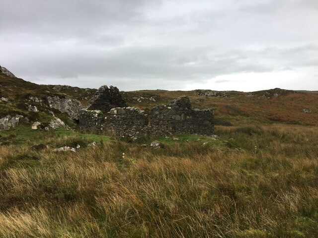
Suidhe (Scottish Gaelic: Suidhe) is a ruined township located on the southwestern peninsula of the Isle of Mull, Scotland. It lies just over 1 km to the...

Ardtun

Ardtun (Scottish Gaelic: Àird Tunna) is a settlement on the Isle of Mull, in Argyll and Bute, Scotland. Ardtun is within the parish of Kilfinichen and...

Knocknafenaig

Knocknafenaig (Scottish Gaelic: Cnoc na Fennaig) is a ruined township on the Isle of Mull, Scotland. Located in the south-western portion of the island...

Nearby Amenities

Located within 500m of 56.317732,-6.2386581
Source: PGS
Lat/Long: 56.3186068/-6.2419531
Bunessan
Name En: Bunessan
Name Gd: Bun Easain
Place: village
Wikidata: Q3776035
Wikipedia: en:Bunessan
Lat/Long: 56.3160637/-6.2329877
Fire Station
Bunessan Community Fire Station
Lat/Long: 56.3161783/-6.2348982
Argyll Arms
Tourism: hotel
Lat/Long: 56.3158146/-6.2355069
Spar
Brand: Spar
Brand Wikidata: Q610492
Brand Wikipedia: en:Spar (retailer)
Shop: convenience
Lat/Long: 56.3164835/-6.2337869
Post Box
Post Box Type: lamp
Ref: PA67 117
Royal Cypher: scottish_crown
Lat/Long: 56.3165327/-6.2338203
Tourism: guest_house
Lat/Long: 56.3181345/-6.2334952
Baker House
Shop: bakery
Lat/Long: 56.3161358/-6.2343247
Toilets
Lat/Long: 56.315857/-6.234979
Source: PGS
Lat/Long: 56.315818/-6.2373501
Source: PGS
Lat/Long: 56.3163518/-6.2381246
Source: PGS
Lat/Long: 56.3160138/-6.2377521
Source: PGS
Lat/Long: 56.3171339/-6.2394689
Source: PGS
Lat/Long: 56.3167679/-6.2389184
Source: PGS
Lat/Long: 56.3165088/-6.2383427
Source: PGS
Lat/Long: 56.3175432/-6.2400192
Source: PGS
Lat/Long: 56.3179677/-6.24078
Source: PGS
Lat/Long: 56.3181941/-6.2413635
Source: PGS
Lat/Long: 56.3181669/-6.2413199
Source: PGS
Lat/Long: 56.318227/-6.2414528
Source: PGS
Lat/Long: 56.3164091/-6.23482
Source: PGS
Lat/Long: 56.3162353/-6.2354577
Charging Station
Chargeplace Scotland charge station
Lat/Long: 56.3155682/-6.2352437
Island Castaways
Shop: charity
Lat/Long: 56.3156514/-6.2351764
Fingals Cave
Shop: gift
Lat/Long: 56.3161929/-6.2341517
Telephone
Booth: KX100
Operator: BT
Lat/Long: 56.3160032/-6.2353524
Power: pole
Lat/Long: 56.3146616/-6.2329763
Power: pole
Lat/Long: 56.3145017/-6.2344381
Power: pole
Lat/Long: 56.3142845/-6.2363076
Power: pole
Lat/Long: 56.3140896/-6.2382415
Power: pole
Lat/Long: 56.3139051/-6.239883
Power: pole
Lat/Long: 56.313528/-6.2410498
Man Made: water_tap
Lat/Long: 56.3158836/-6.2349986
Sanitary Dump Station
Fee: yes
Lat/Long: 56.3157743/-6.2350497
Power: pole
Lat/Long: 56.3184331/-6.2314362
Power: pole
Lat/Long: 56.3186488/-6.2330455
Power: pole
Lat/Long: 56.3190729/-6.2348174
Power: pole
Lat/Long: 56.3199846/-6.235241
Power: pole
Lat/Long: 56.3207426/-6.2355794
Power: pole
Lat/Long: 56.3215597/-6.2359445
Power: pole
Lat/Long: 56.3186281/-6.2346149
Power: pole
Lat/Long: 56.3182794/-6.2335704
Defibrillator
Access: yes
Defibrillator Location: On outside wall of Bunessan Fire Station, on the opposite side to the public car park
Emergency: defibrillator
Indoor: no
Ref GB The Circuit: D7ACD819-61E0-4B30-BCE8-D70821AF1D63
Lat/Long: 56.3161756/-6.2348335
The data included in this document is from www.openstreetmap.org. The data is made available under ODbL.

Have you been to Ardtun, Lower?

Leave your review of Ardtun, Lower below (or comments, questions and feedback).