Broad Lee
Coastal Feature, Headland, Point in Orkney
Scotland
Broad Lee
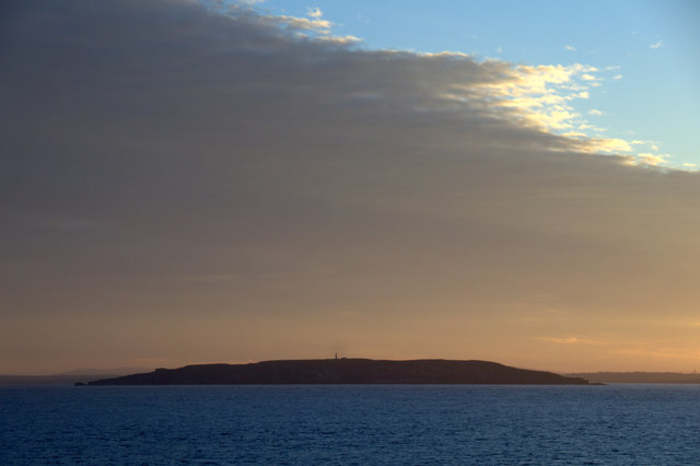
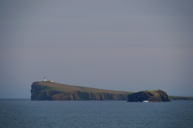
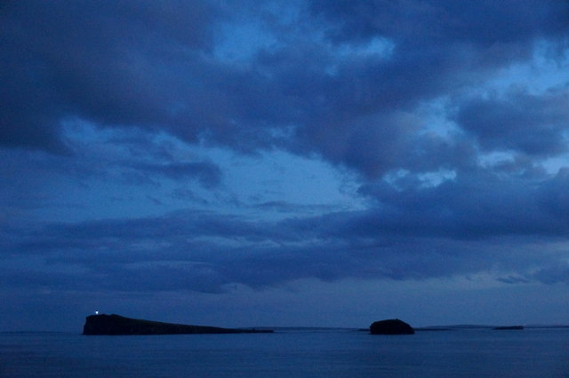
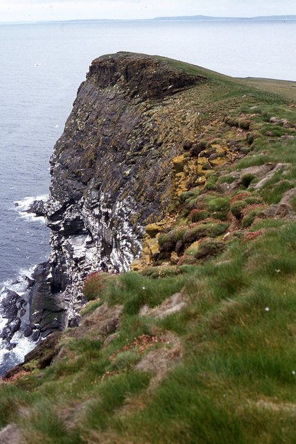
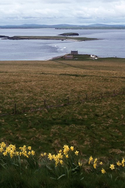
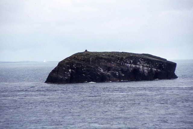
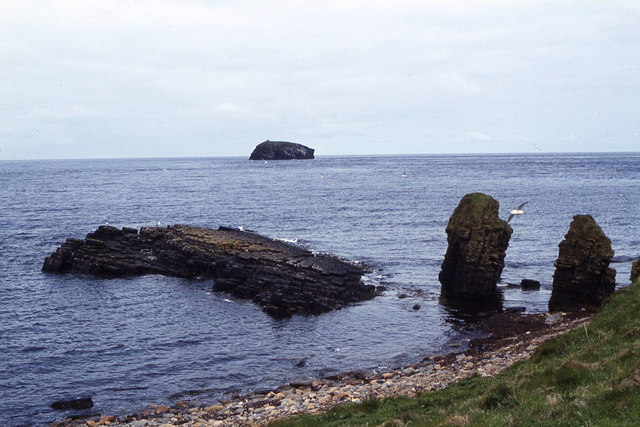
Broad Lee is a prominent coastal feature located in the Orkney archipelago, off the northeastern coast of Scotland. It is classified as a headland or point, extending into the North Sea. Situated in the eastern part of Orkney Mainland, Broad Lee offers stunning panoramic views of the surrounding seascape and the rugged coastline.
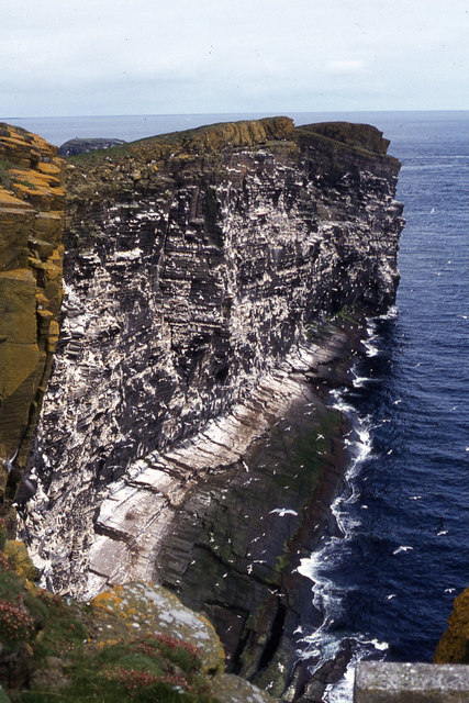
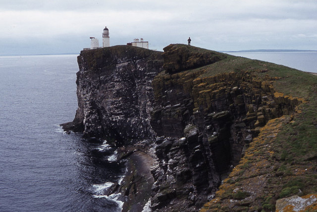
Rising approximately 30 meters above sea level, Broad Lee is characterized by its steep cliffs and rocky terrain. The headland is composed mainly of sandstone and has been shaped by the relentless forces of erosion over millions of years. Its exposed position makes it susceptible to the powerful waves and winds that sweep across the North Sea.
The headland is home to a diverse range of flora and fauna, with various species of seabirds nesting on its cliffs, including guillemots and kittiwakes. The surrounding waters are also rich in marine life, providing a habitat for seals, dolphins, and porpoises.
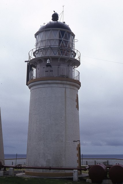
Broad Lee is a popular destination for nature enthusiasts, hikers, and birdwatchers. Visitors can explore the headland by following well-defined footpaths that lead to the cliff edge, providing awe-inspiring views of the sea and the rugged coastline. The area is also known for its historical significance, with remnants of ancient settlements and archaeological sites scattered throughout the landscape.
In summary, Broad Lee is a remarkable headland in Orkney, offering breathtaking views, diverse wildlife, and a glimpse into the region's rich history. It serves as a natural haven for both nature lovers and those seeking a deeper connection with Scotland's coastal heritage.
If you have any feedback on the listing, please let us know in the comments section below.
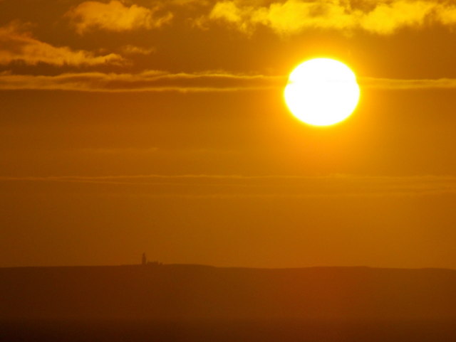
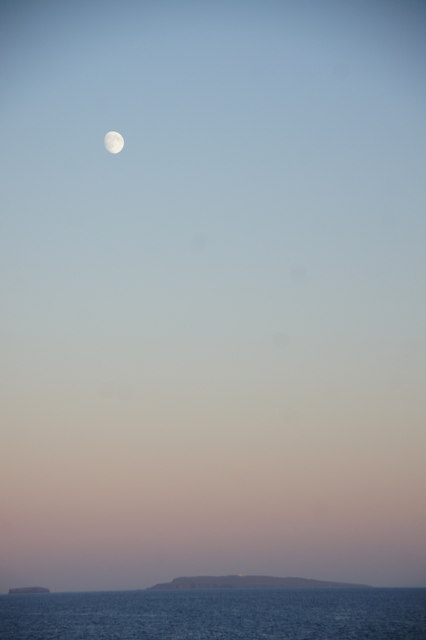
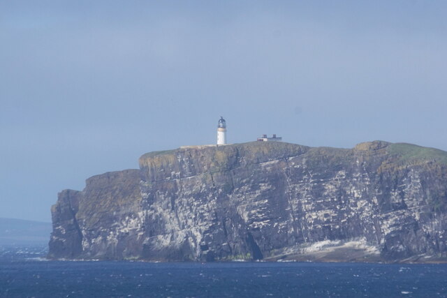
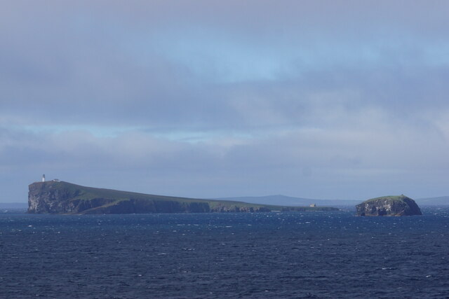
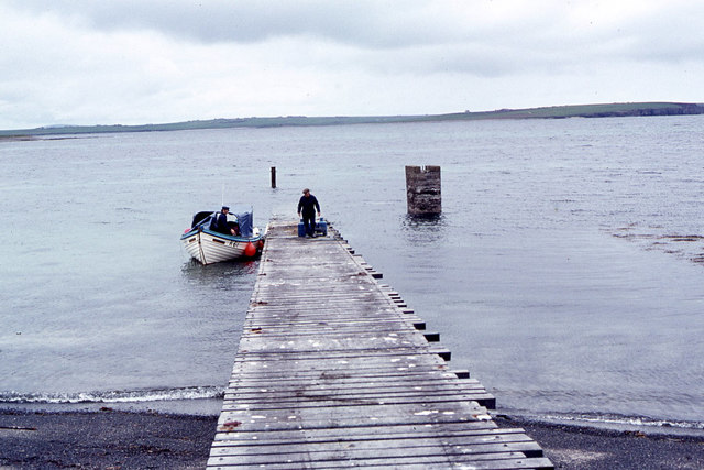
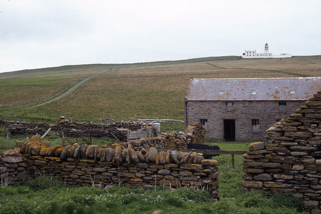
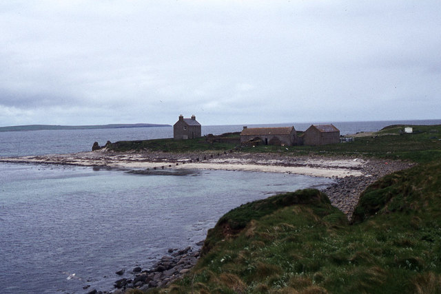
Broad Lee Images
Images are sourced within 2km of 58.896855/-2.6711952 or Grid Reference HY6101. Thanks to Geograph Open Source API. All images are credited.
Broad Lee is located at Grid Ref: HY6101 (Lat: 58.896855, Lng: -2.6711952)
Unitary Authority: Orkney Islands
Police Authority: Highlands and Islands
What 3 Words
///causes.catapult.tribes. Near Deerness, Orkney Islands
Nearby Locations
Related Wikis

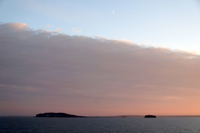
Copinsay
Copinsay (Old Norse: Kolbeinsey) is one of the Orkney Islands in Scotland, lying off the east coast of the Orkney Mainland. The smaller companion island...

Corn Holm
Corn Holm is a small tidal island in Orkney, near Copinsay to the west, off the north-eastern coast of Scotland. There was once a small chapel there, and...

Horse of Copinsay
The Horse of Copinsay, also known as the Horse, is a rectangular uninhabited sea stack to the north east of Copinsay in the Orkney Islands, Scotland....
Black Holm
Black Holm is a small tidal island in the Orkney Islands, near Copinsay to the west of Corn Holm off the north-eastern coast of Scotland. == Geography... ==
Nearby Amenities
Located within 500m of 58.896855,-2.6711952Have you been to Broad Lee?
Leave your review of Broad Lee below (or comments, questions and feedback).