Little Sand Geo
Coastal Feature, Headland, Point in Orkney
Scotland
Little Sand Geo
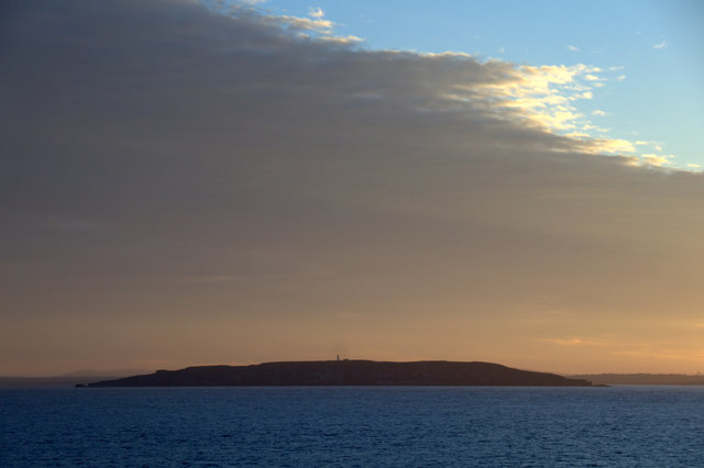
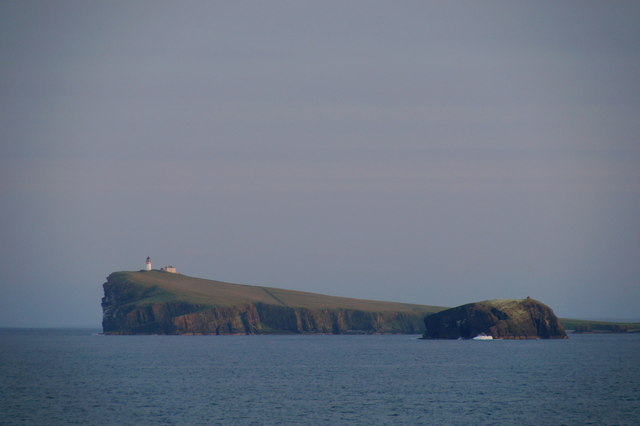
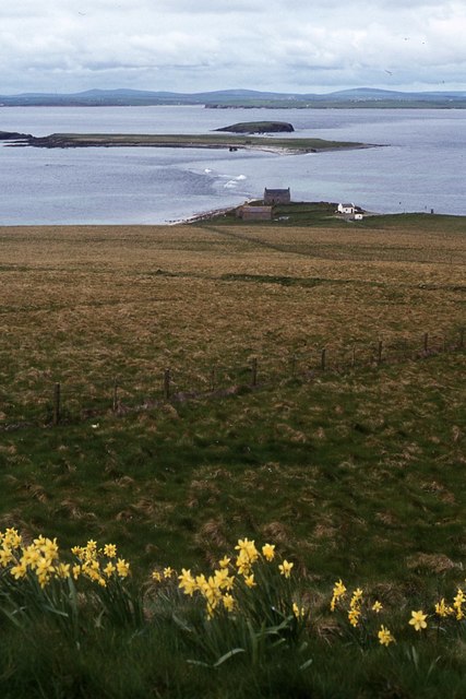
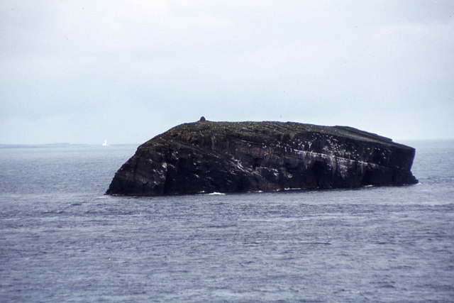
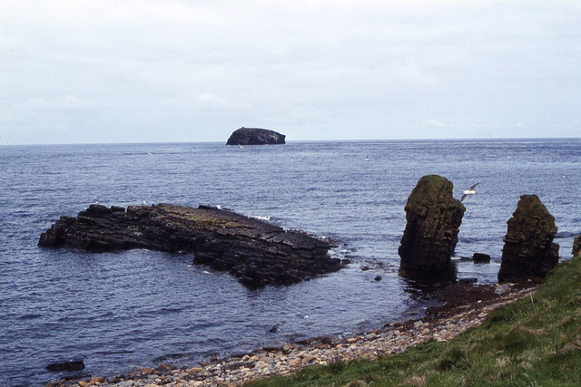
Little Sand Geo is a prominent coastal feature located on the island of Orkney in Scotland. It is specifically situated on the western coast of the island, overlooking the Atlantic Ocean. Little Sand Geo is classified as a headland or point, jutting out into the sea and forming a distinctive shape.
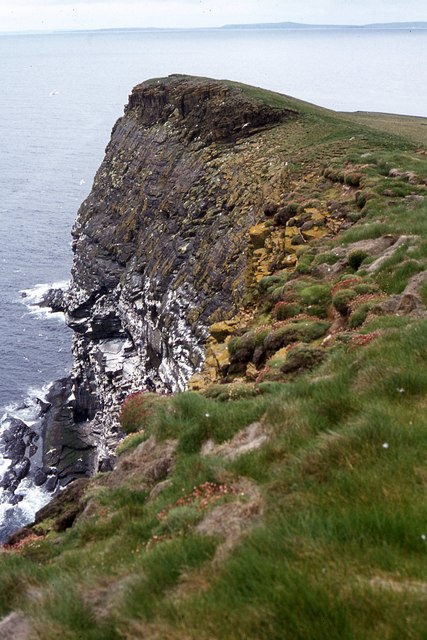
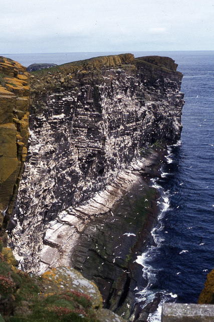
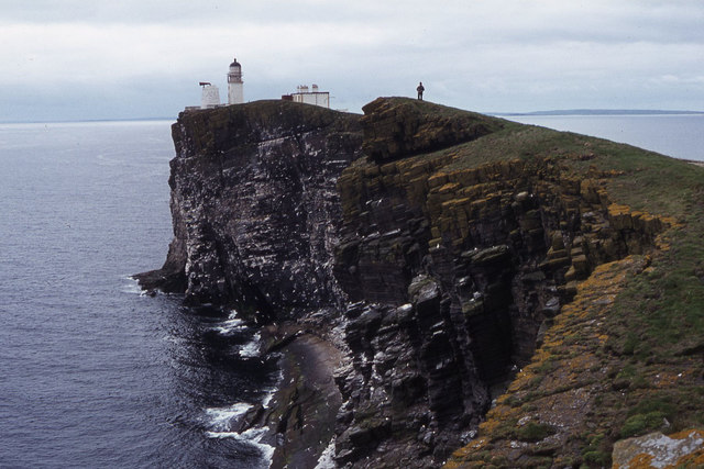
The headland is characterized by its rugged and rocky terrain, with steep cliffs that reach impressive heights. These cliffs are composed of sandstone, giving the area a unique reddish hue. The geological formations in Little Sand Geo are a result of millions of years of erosion caused by the relentless pounding of the waves.
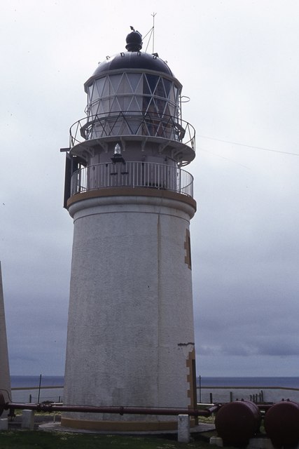
The headland offers breathtaking views of the surrounding ocean and the nearby islands. It is a popular spot for nature enthusiasts and photographers who are drawn to its dramatic scenery. The strong currents and crashing waves make it an ideal location for birdwatching, with various seabirds nesting and fishing in the area.
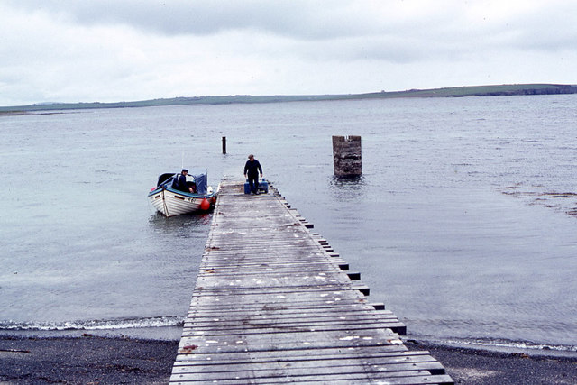
Access to Little Sand Geo is limited, as it is only reachable by foot or boat. The headland is often visited by hikers and walkers who venture along the coastal path to enjoy the stunning vistas. It is recommended to visit during low tide to fully appreciate the exposed rock formations and hidden sea caves.
Overall, Little Sand Geo is a remarkable coastal feature in Orkney, offering a glimpse into the natural beauty and geological history of the region.
If you have any feedback on the listing, please let us know in the comments section below.
Little Sand Geo Images
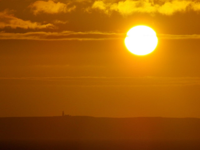
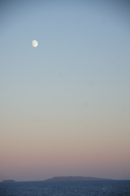
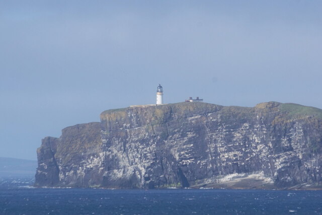
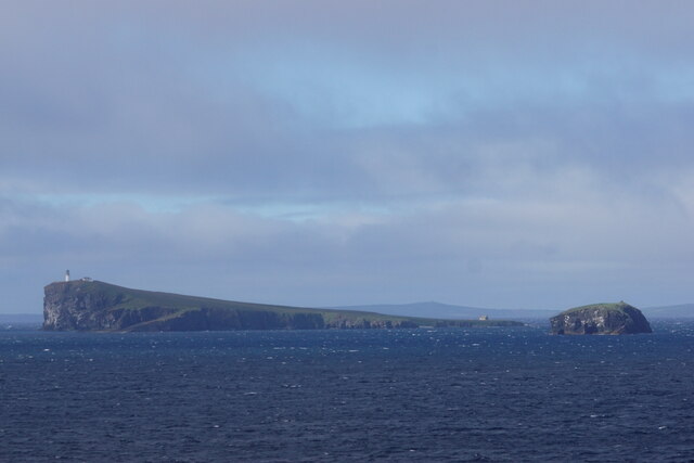
Images are sourced within 2km of 58.901259/-2.6756543 or Grid Reference HY6101. Thanks to Geograph Open Source API. All images are credited.
Little Sand Geo is located at Grid Ref: HY6101 (Lat: 58.901259, Lng: -2.6756543)
Unitary Authority: Orkney Islands
Police Authority: Highlands and Islands
What 3 Words
///starlight.primary.offshore. Near Deerness, Orkney Islands
Nearby Locations
Related Wikis

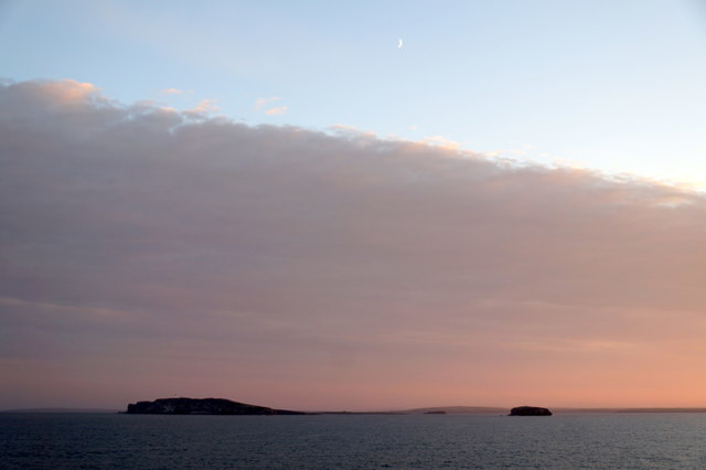
Copinsay
Copinsay (Old Norse: Kolbeinsey) is one of the Orkney Islands in Scotland, lying off the east coast of the Orkney Mainland. The smaller companion island...

Corn Holm
Corn Holm is a small tidal island in Orkney, near Copinsay to the west, off the north-eastern coast of Scotland. There was once a small chapel there, and...

Horse of Copinsay
The Horse of Copinsay, also known as the Horse, is a rectangular uninhabited sea stack to the north east of Copinsay in the Orkney Islands, Scotland....
Black Holm
Black Holm is a small tidal island in the Orkney Islands, near Copinsay to the west of Corn Holm off the north-eastern coast of Scotland. == Geography... ==
Nearby Amenities
Located within 500m of 58.901259,-2.6756543Have you been to Little Sand Geo?
Leave your review of Little Sand Geo below (or comments, questions and feedback).