Kames Geo
Coastal Feature, Headland, Point in Orkney
Scotland
Kames Geo
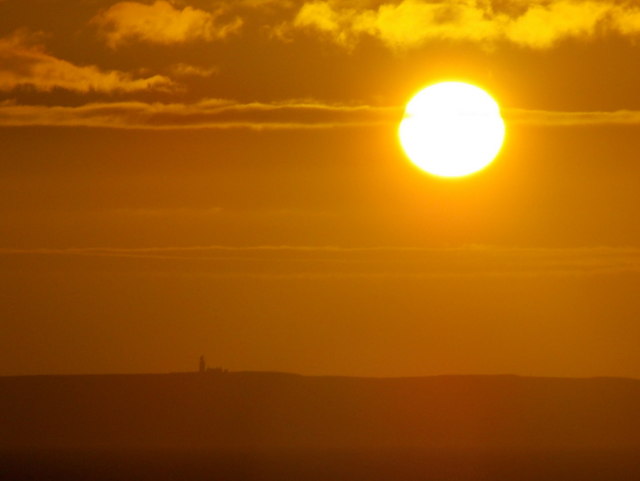
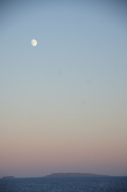
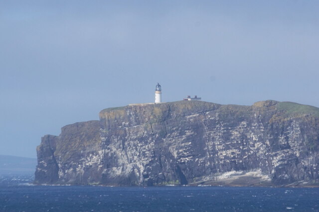
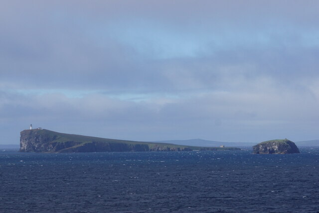
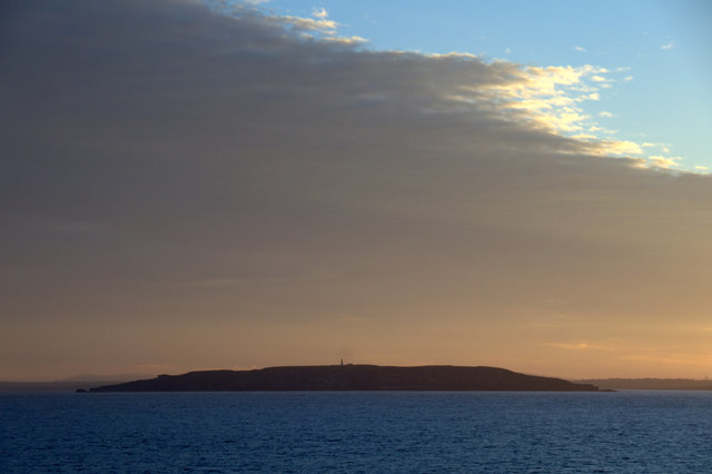
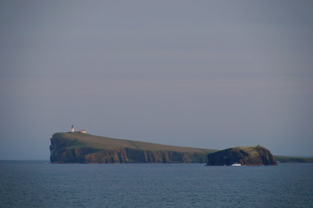
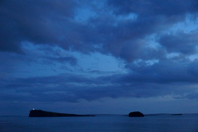
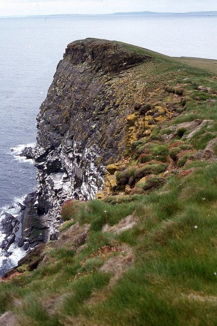
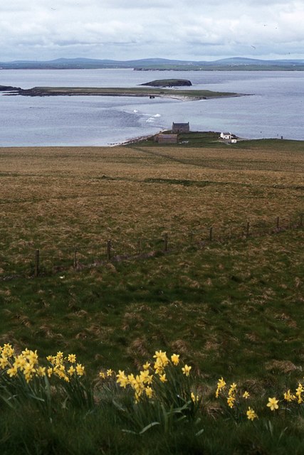
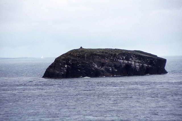
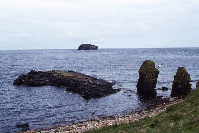
Kames Geo is a prominent coastal feature located on the island of Orkney in Scotland. It is a headland that juts out into the North Sea, offering breathtaking views of the surrounding landscape. Situated on the eastern coast of Orkney, Kames Geo is known for its rugged cliffs, rocky terrain, and dramatic coastline.
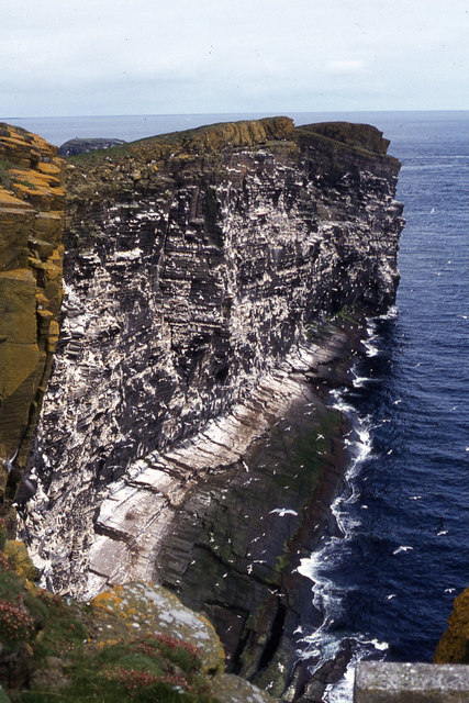
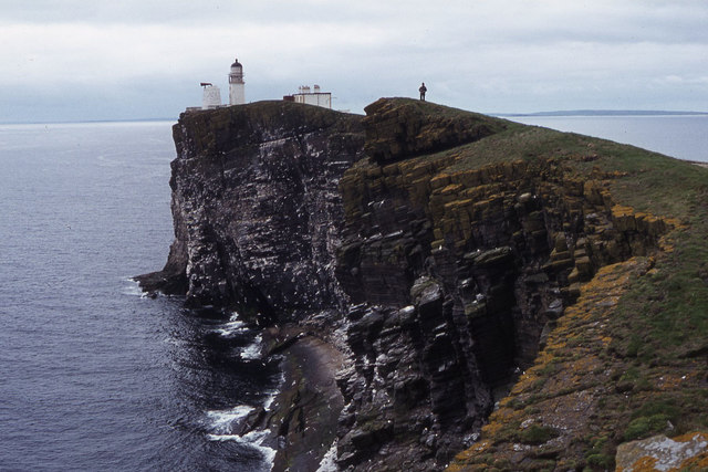
The headland is characterized by its towering cliffs that rise up to 100 meters above sea level. These cliffs are composed of layers of sandstone, creating a striking geological formation. The layers represent different periods of sedimentary deposition, providing valuable insights into the region's geological history.
Kames Geo is also home to a diverse range of wildlife. The surrounding waters are known for their rich marine life, including seals, dolphins, and various species of seabirds. Visitors may be lucky enough to spot puffins, guillemots, or even the majestic white-tailed eagle while exploring the area.
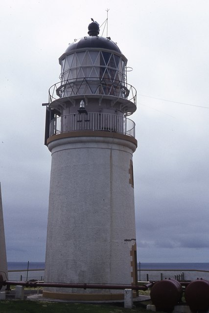
The headland is a popular destination for outdoor enthusiasts and nature lovers. Hiking trails offer stunning views of the coastline and the opportunity to observe the unique flora and fauna that call Kames Geo home. It is also a great spot for birdwatching, with several viewpoints providing excellent vantage points.
Due to its exposed location, Kames Geo can experience strong winds and rough seas, adding to its wild and untamed beauty. Visitors are advised to take caution and respect the power of nature when exploring the area.
In conclusion, Kames Geo is a captivating headland on the island of Orkney, renowned for its impressive cliffs, diverse wildlife, and outstanding natural beauty.
If you have any feedback on the listing, please let us know in the comments section below.
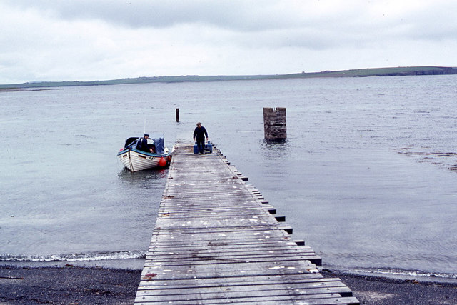
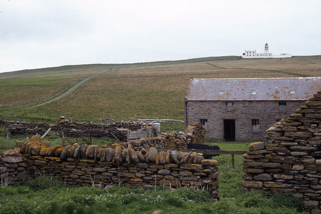
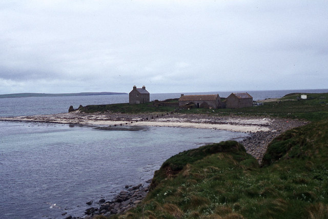
Kames Geo Images
Images are sourced within 2km of 58.90092/-2.6716906 or Grid Reference HY6101. Thanks to Geograph Open Source API. All images are credited.
Kames Geo is located at Grid Ref: HY6101 (Lat: 58.90092, Lng: -2.6716906)
Unitary Authority: Orkney Islands
Police Authority: Highlands and Islands
What 3 Words
///roadmap.slimy.highlight. Near Deerness, Orkney Islands
Nearby Locations
Related Wikis

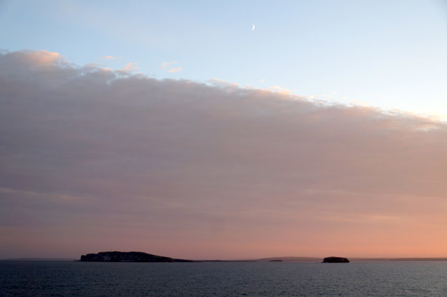
Copinsay
Copinsay (Old Norse: Kolbeinsey) is one of the Orkney Islands in Scotland, lying off the east coast of the Orkney Mainland. The smaller companion island...

Horse of Copinsay
The Horse of Copinsay, also known as the Horse, is a rectangular uninhabited sea stack to the north east of Copinsay in the Orkney Islands, Scotland....

Corn Holm
Corn Holm is a small tidal island in Orkney, near Copinsay to the west, off the north-eastern coast of Scotland. There was once a small chapel there, and...
Black Holm
Black Holm is a small tidal island in the Orkney Islands, near Copinsay to the west of Corn Holm off the north-eastern coast of Scotland. == Geography... ==

Point of Ayre, Orkney
There are also two similarly named points in the British Isles: Point of Ayre, Isle of Man and Point of Ayr, Wales.Point of Ayre is a headland in the parish...

The Gloup
The Gloup () is a collapsed sea cave in the Mull Head Nature Reserve in the islands of Orkney, Scotland. The name derives from the Old Norse "gluppa",...

Deerness
Deerness (, locally , Old Norse: Dyrnes) is a quoad sacra parish (i.e. one created and functioning for ecclesiastical purposes only) and peninsula in Mainland...

St Peter's Pool, Orkney
St Peter's Pool is a bay in the East Mainland of Orkney, Scotland. This bay was the site of significant coastal defences during World War II, when a German...
Nearby Amenities
Located within 500m of 58.90092,-2.6716906Have you been to Kames Geo?
Leave your review of Kames Geo below (or comments, questions and feedback).