Lowe Hill
Settlement in Staffordshire Staffordshire Moorlands
England
Lowe Hill
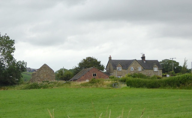
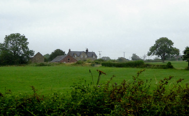
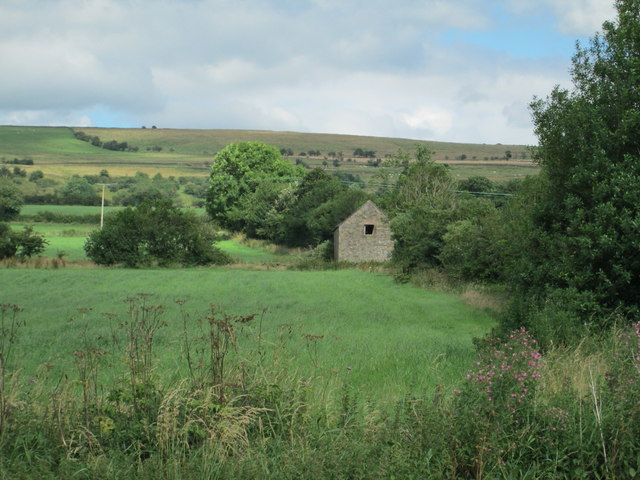
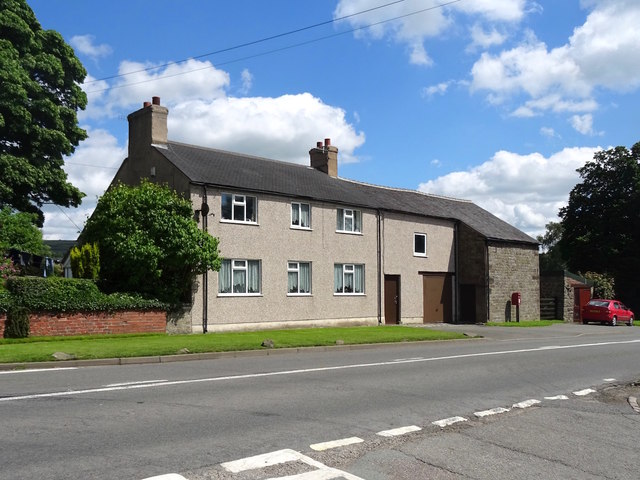
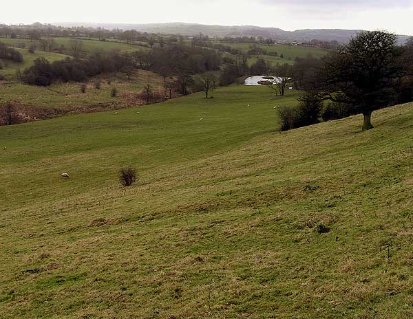
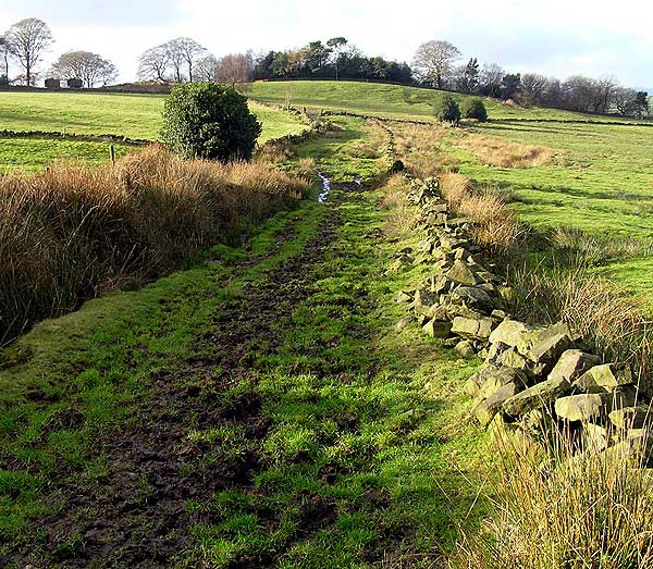
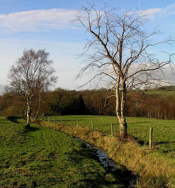
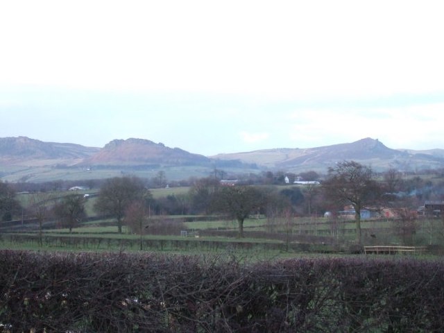
Lowe Hill is a small village located in the county of Staffordshire, England. Situated approximately 4 miles north of the town of Leek, it lies within the Staffordshire Moorlands district. The village is nestled in a picturesque rural setting, surrounded by rolling hills and lush green fields.
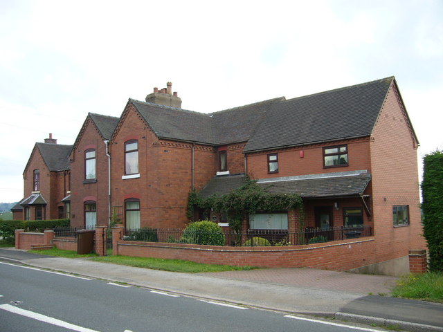
Despite its small size, Lowe Hill boasts a rich history, with evidence of human settlement dating back to the Roman times. The village is known for its charming traditional stone cottages, which add to its quaint and idyllic atmosphere.
Lowe Hill is primarily an agricultural community, with farming being the main source of income for many of its residents. The fertile land and favorable climate make it an ideal location for cultivating crops and rearing livestock.
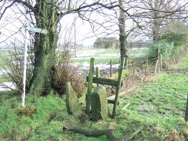
The village is well-connected to nearby towns and cities, with good road links providing easy access to Leek and the wider Staffordshire area. Additionally, there are regular bus services that connect Lowe Hill to neighboring villages and towns, ensuring residents have access to essential amenities and services.
While Lowe Hill may lack the hustle and bustle of a larger town, it offers a peaceful and close-knit community for its residents. The village benefits from a local primary school, a church, and a community center, which hosts various events and activities throughout the year.
Overall, Lowe Hill is a charming and tranquil village in the heart of Staffordshire, offering a picturesque countryside lifestyle to its residents.
If you have any feedback on the listing, please let us know in the comments section below.
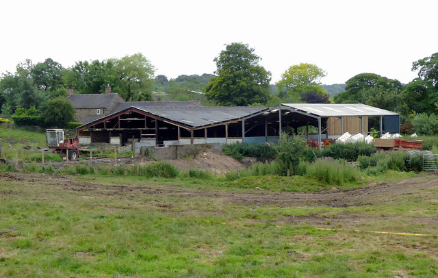
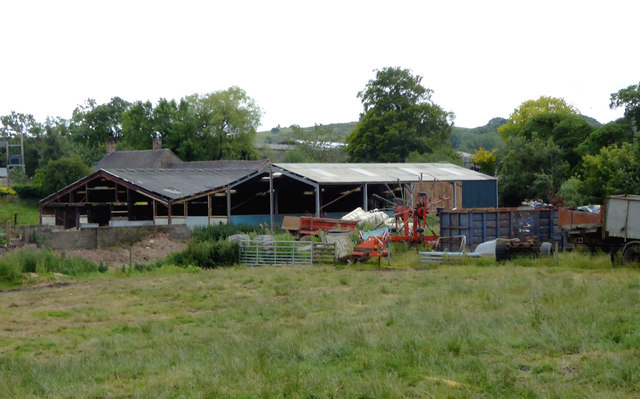
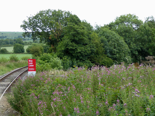
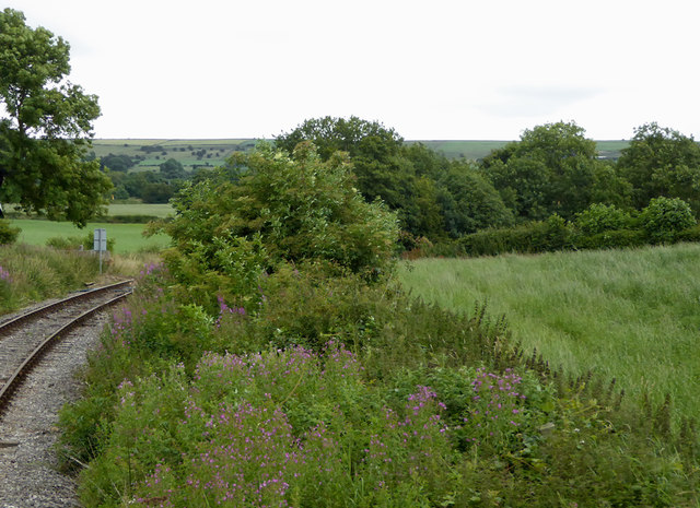
Lowe Hill Images
Images are sourced within 2km of 53.097496/-2.006837 or Grid Reference SJ9955. Thanks to Geograph Open Source API. All images are credited.


Lowe Hill is located at Grid Ref: SJ9955 (Lat: 53.097496, Lng: -2.006837)
Administrative County: Staffordshire
District: Staffordshire Moorlands
Police Authority: Staffordshire
What 3 Words
///gravel.townhouse.probably. Near Leek, Staffordshire
Related Wikis

Leek High School
Leek High School is a mixed upper school (termed 'high school') located in Leek, Staffordshire, England. As of 2021, the number of students at the school...
The Meadows School, Leek
The Meadows School is a mixed special school co-located with Leek High School in Leek, Staffordshire, England.In 2014 Ofsted said “Students make good...

All Saints' Church, Leek
All Saints' Church is an Anglican church in Leek, Staffordshire, England. It is a Grade I listed building. It was designed by Norman Shaw, and built in...

Nicholson War Memorial
The Nicholson War Memorial in Leek, Staffordshire, England is a 1925 war memorial. It was commissioned by local manufacturer Sir Arthur Nicholson and his...
Buxton & Leek College
Buxton & Leek College is a college of Further and Higher Education operating at their campuses and facilities in Buxton, Derbyshire, Leek, Staffordshire...
Barnfields
Barnfields (also Barnfield) is an area in Leek, Staffordshire, England.
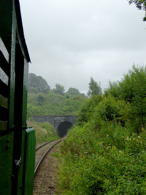
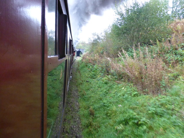
Leek (Churnet Valley) railway station
Leek (Churnet Valley) railway station is the proposed and future terminus of the Churnet Valley Railway and is currently awaiting construction. It will...

Bradnop railway station
Bradnop railway station was a railway station that served the village of Bradnop, Staffordshire. It was opened by the North Staffordshire Railway (NSR...
Nearby Amenities
Located within 500m of 53.097496,-2.006837Have you been to Lowe Hill?
Leave your review of Lowe Hill below (or comments, questions and feedback).