Lowedges

Settlement in Derbyshire

England

Lowedges

Roundabout in Coal Aston. Starting point for our Dronfield 2000 rotary walk.
Roundabout in Coal Aston. Credit: steven ruffles

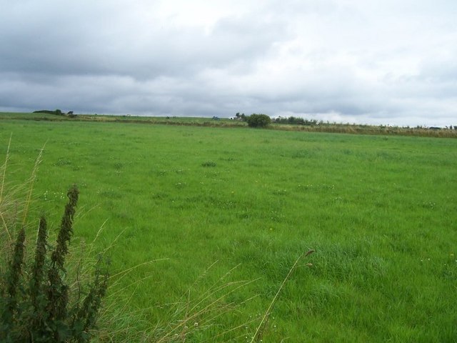
Lowedges is a small residential area located in Derbyshire, England. Situated in the southern part of Sheffield, it is primarily known for its close proximity to the Peak District National Park, offering residents and visitors easy access to beautiful countryside and outdoor recreational activities.

The area is mainly comprised of post-war council houses, with a mix of semi-detached and terraced properties. It has a modest population, and its quiet streets and green spaces contribute to a peaceful and family-friendly atmosphere. The low crime rate and strong sense of community make Lowedges an attractive place to live for families and individuals seeking a safe and peaceful environment.

Lowedges is well-served by amenities and facilities. The area has a primary school, a community center, and several local shops and services, including a grocery store, a pharmacy, and a post office. Additionally, there are several parks and playgrounds in the vicinity, providing ample opportunities for outdoor recreation and leisure activities.

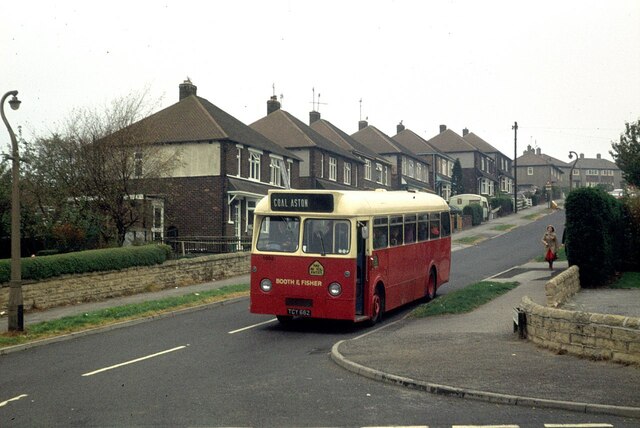
Transportation in Lowedges is convenient, with regular bus services connecting the area to Sheffield city center and surrounding areas. The nearby Sheffield Supertram also offers an alternative mode of transportation, providing easy access to the city's amenities and attractions.

Overall, Lowedges offers a quiet and friendly residential environment, with easy access to both the city and the countryside. Its affordable housing options, strong community spirit, and beautiful natural surroundings make it an appealing place to live for those seeking a balance between urban conveniences and rural charm.

If you have any feedback on the listing, please let us know in the comments section below.
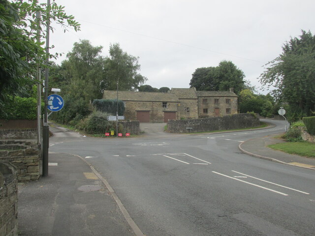
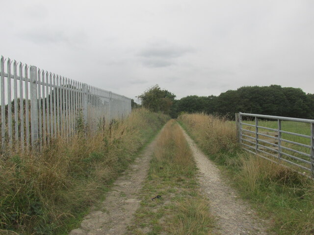
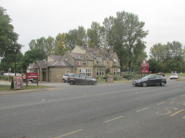
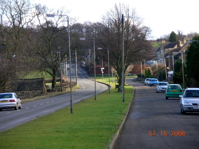
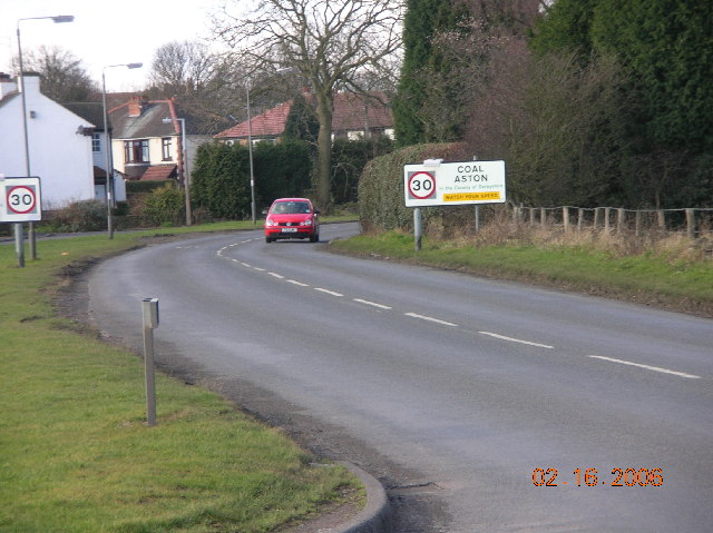
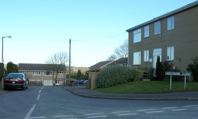
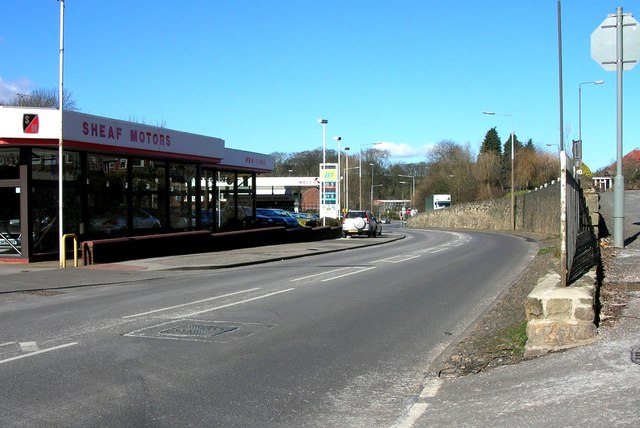
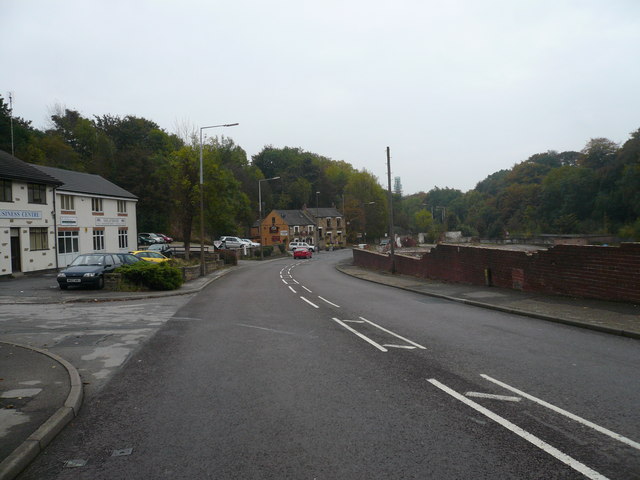
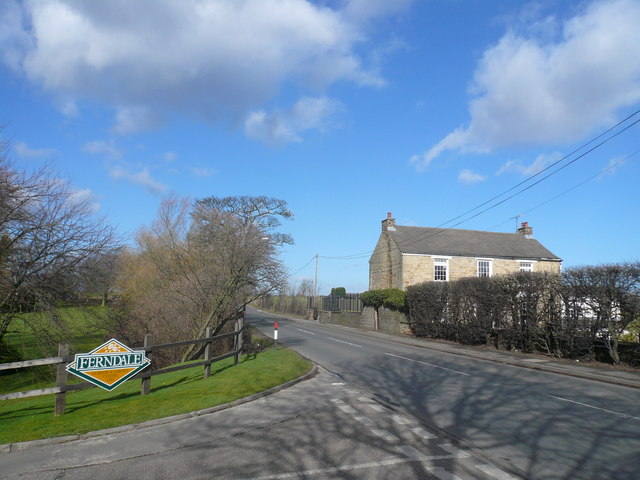
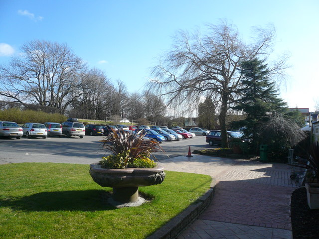
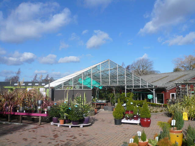
Lowedges Images

Images are sourced within 2km of 53.321694/-1.474527 or Grid Reference SK3580. Thanks to Geograph Open Source API. All images are credited.

Roundabout in Coal Aston. Starting point for our Dronfield 2000 rotary walk.
Roundabout in Coal Aston.
Starting point for our Dronfield 2000 rotary walk.
Track near Bowshaw farm. The Dronfield 2000 rotary walk.
Track near Bowshaw farm.
The Dronfield 2000 rotary walk.
The Bowshaw pub. Along the road to Dronfield.
The Bowshaw pub.
Along the road to Dronfield.
Booth and Fisher bus at Dronfield -1978 Booth and Fisher was a family bus business operating out of Halfway near Sheffield. By this time it had already been sold (in 1975) to the South Yorkshire Passenger Transport Executive, as indicated by the 4-digit fleet number, although it was some time before all vehicles were repainted into SYPTE brown and cream livery.

TCY662 was bought second hand from South Wales Transport in 1972, and is an AEC Reliance with Marshall bodywork, new in 1962.

This is one of a series of views featuring buses in the 60s, 70s, and 80s. <a title="https://www.geograph.org.uk/search.php?i=137652761" href="https://www.geograph.org.uk/search.php?i=137652761">Link</a>
Booth and Fisher bus at Dronfield -1978
Booth and Fisher was a family bus business operating out of Halfway near Sheffield. By this time it had already been sold (in 1975) to the South Yorkshire Passenger Transport Executive, as indicated by the 4-digit fleet number, although it was some time before all vehicles were repainted into SYPTE brown and cream livery. TCY662 was bought second hand from South Wales Transport in 1972, and is an AEC Reliance with Marshall bodywork, new in 1962. This is one of a series of views featuring buses in the 60s, 70s, and 80s. Link
Coal Aston near Sheffield This view is looking east along Eckington Road in the direction of Chesterfield.
Coal Aston near Sheffield
This view is looking east along Eckington Road in the direction of Chesterfield.
Coal Aston near Sheffield This view is looking in a westerly direction along Eckington Road.
Coal Aston near Sheffield
This view is looking in a westerly direction along Eckington Road.
Westbank Close, Coal Aston, Sheffield.
Sheaf Motors on Sheffield Road, Dronfield. This view is looking north towards Sheffield.
Sheaf Motors on Sheffield Road, Dronfield.
This view is looking north towards Sheffield.
Dronfield - Sheffield Road (B6057) This view was taken entering Dronfield from the north, the Greyhound Pub can be seen in the centre of the picture.
Dronfield - Sheffield Road (B6057)
This view was taken entering Dronfield from the north, the Greyhound Pub can be seen in the centre of the picture.
Dronfield - Cecil Avenue Looking towards Snape Hill Lane.
Dronfield - Cecil Avenue
Looking towards Snape Hill Lane.
Coal Aston - Dyche Lane View from Ferndale Garden Centre
Coal Aston - View from Ferndale Garden Centre Car Park
Coal Aston - Ferndale Garden Centre
Sheffield F.C., Dronfield
Coach & Horses, Dronfield
The Royal Oak, Coal Aston
Wreakes Lane, Dronfield
Pasture near Barnes Farm, Dronfield Woodhouse
Show me another place!

Lowedges is located at Grid Ref: SK3580 (Lat: 53.321694, Lng: -1.474527)

Unitary Authority: Sheffield

Police Authority: South Yorkshire

What 3 Words

///foal.fence.held. Near Dronfield, Derbyshire

Nearby Locations

Lowedges Batemoor

Related Wikis

Meadowhead School

Meadowhead School is a mixed secondary school and Language College with academy status in Sheffield, South Yorkshire, England. There are currently around...

A6102 road

The A6102 is a 4 digit A road in South Yorkshire, England. == Route == It begins in the Greenhill area of Sheffield, at a junction with the A61 (at the...

Bowshaw

Bowshaw is an area in Derbyshire, England, that now forms part of the town of Dronfield. There is little for the casual visitor to see except a long row...

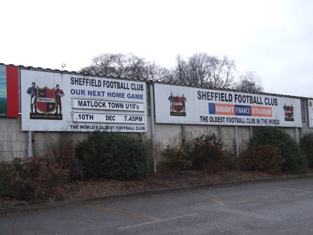
Sheffield F.C. Women

Sheffield Football Club Ladies is an English women's football club affiliated with Sheffield F.C. The club won the FA Women's Premier League Northern...

Nearby Amenities

Located within 500m of 53.321694,-1.474527
Traffic Signals
Crossing: no
Lat/Long: 53.3252781/-1.4731311
Batemoor
Is In: South Yorkshire, England, UK
Place: suburb
Lat/Long: 53.3202259/-1.4690572
Turning Circle
Source: Bing
Lat/Long: 53.3211736/-1.4684971
Turning Circle
Source: Bing
Lat/Long: 53.3194798/-1.4683356
Turning Circle
Source: Bing
Lat/Long: 53.3214826/-1.4710082
Turning Circle
Source: Bing
Lat/Long: 53.3212362/-1.4698104
Crossing
Crossing: unmarked
Crossing Island: no
Tactile Paving: yes
Lat/Long: 53.3218569/-1.4724848
Crossing
Bicycle: yes
Crossing: traffic_signals
Crossing Island: yes
Crossing Ref: toucan
Tactile Paving: yes
Lat/Long: 53.3218537/-1.4727429
Power: substation
Ref GB Uprn: 10013642915
Lat/Long: 53.3189582/-1.471609
Telephone
Booth: KX100
Covered: booth
Lat/Long: 53.3184165/-1.4699641
Turning Circle
Source: Bing
Lat/Long: 53.320896/-1.481039
Turning Circle
Source: Bing
Lat/Long: 53.3214825/-1.4796261
Turning Circle
Source: Bing
Lat/Long: 53.320631/-1.4799622
Turning Circle
Source: Bing
Lat/Long: 53.3202247/-1.4789932
Turning Circle
Source: Bing
Lat/Long: 53.3213377/-1.4766198
Turning Circle
Source: Bing
Lat/Long: 53.3215527/-1.4757216
Turning Circle
Source: Bing
Lat/Long: 53.3199586/-1.4780101
Turning Circle
Source: Bing
Lat/Long: 53.3198423/-1.476734
Turning Circle
Source: Bing
Lat/Long: 53.3228075/-1.4747157
Turning Circle
Source: Bing
Lat/Long: 53.3236054/-1.4744983
Turning Circle
Source: Bing
Lat/Long: 53.3240345/-1.4752616
Turning Circle
Source: Bing
Lat/Long: 53.3244505/-1.4775525
Turning Circle
Source: Bing
Lat/Long: 53.3246577/-1.4784696
Turning Circle
Source: Bing
Lat/Long: 53.3228735/-1.4772922
Turning Circle
Source: Bing
Lat/Long: 53.3248547/-1.4794348
Bus Stop
Batemoor Road/Chesterfield Road South
Alt Name: Batemoor Road/Chesterfield Road South
Bus: yes
Naptan AltCommonName: Batemoor Road/Chesterfield Road South
Naptan AtcoCode: 370022071
Naptan Bearing: SE
Naptan CommonName: Batemoor Road/Chesterfield Road South
Naptan Indicator: 22071
Naptan Landmark: Batemoor Place
Naptan PlusbusZoneRef: CHFD;ROTHCEN
Naptan Street: Batemoor Road
Naptan Verified: no
Public Transport: platform
Source: naptan_import
Lat/Long: 53.321848/-1.472302
Bus Stop
Lowedges Road/Lupton Road
Alt Name: Lowedges Road/Lupton Road
Bus: yes
Naptan AltCommonName: Lowedges Road/Lupton Road
Naptan AtcoCode: 370022072
Naptan Bearing: W
Naptan CommonName: Lowedges Road/Lupton Road
Naptan Indicator: 22072
Naptan Landmark: 22072
Naptan PlusbusZoneRef: ROTHCEN
Naptan Street: Lowedges Road
Naptan Verified: no
Public Transport: platform
Source: naptan_import
Lat/Long: 53.3220759/-1.4750616
Bus Stop
Lowedges Road/Lowedges Crescent
Bus: yes
Naptan AtcoCode: 370022073
Naptan Bearing: E
Naptan CommonName: Lowedges Road/Lowedges Crescent
Naptan Indicator: 22073
Naptan Landmark: 25-29 Flats
Naptan PlusbusZoneRef: ROTHCEN
Naptan Street: Lowedges Road
Naptan Verified: no
Public Transport: platform
Source: naptan_import
Lat/Long: 53.3222792/-1.4742784
Bus Stop
Chesterfield Road South/Sports Ground
Alt Name: Chesterfield Road South/Sports Ground
Bench: yes
Bin: yes
Bus: yes
Lit: yes
Naptan AltCommonName: Chesterfield Road South/Sports Ground
Naptan AtcoCode: 370022075
Naptan Bearing: N
Naptan CommonName: Chesterfield Road South/Sports Ground
Naptan Indicator: 22075
Naptan Landmark: SYPTE SPORTS GROUND/OPPOSITE M
Naptan PlusbusZoneRef: ROTHCEN
Naptan Street: Chesterfield Road South
Naptan Verified: no
Public Transport: platform
Shelter: yes
Source: naptan_import
Tactile Paving: yes
Lat/Long: 53.3236083/-1.473189
Bus Stop
Chesterfield Road South/Bus Link Road
Alt Name: Chesterfield Road South/Bus Link Road
Bench: no
Bin: no
Bus: yes
Naptan AltCommonName: Chesterfield Road South/Bus Link Road
Naptan AtcoCode: 370022076
Naptan Bearing: S
Naptan CommonName: Chesterfield Road South/Bus Link Road
Naptan Indicator: 22076
Naptan Landmark: Outside School Playing Fields/
Naptan PlusbusZoneRef: ROTHCEN
Naptan Street: Chesterfield Road South
Naptan Verified: no
Public Transport: platform
Shelter: no
Source: naptan_import
Tactile Paving: yes
Lat/Long: 53.3232309/-1.4725169
Bus Stop
Lowedges Road/Lowedges Drive
Bus: yes
Naptan AtcoCode: 370021351
Naptan Bearing: W
Naptan CommonName: Lowedges Road/Lowedges Drive
Naptan Indicator: 21351
Naptan Landmark: Opposite 64
Naptan PlusbusZoneRef: ROTHCEN
Naptan Street: Lowedges Road
Naptan Verified: no
Public Transport: platform
Source: naptan_import
Lat/Long: 53.3218788/-1.4772709
Bus Stop
Lowedges Road/Lowedges Drive
Bus: yes
Naptan AtcoCode: 370021352
Naptan Bearing: E
Naptan CommonName: Lowedges Road/Lowedges Drive
Naptan Indicator: 21352
Naptan Landmark: Opposite 79
Naptan PlusbusZoneRef: ROTHCEN
Naptan Street: Lowedges Road
Naptan Verified: no
Public Transport: platform
Source: naptan_import
Lat/Long: 53.3220352/-1.4780797
Bus Stop
Lowedges Road/Lowedges Crescent
Alt Name: Lowedges Road/Lowedges Crescent
Bus: yes
Naptan AltCommonName: Lowedges Road/Lowedges Crescent
Naptan AtcoCode: 370021353
Naptan Bearing: W
Naptan CommonName: Lowedges Road/Lowedges Crescent
Naptan Indicator: 21353
Naptan Landmark: Opposite Food Fare & The Mag
Naptan PlusbusZoneRef: ROTHCEN
Naptan Street: Lowedges Road
Naptan Verified: no
Public Transport: platform
Source: naptan_import
Lat/Long: 53.3221697/-1.4800748
Bus Stop
Lowedges Road/Lowedges Crescent
Alt Name: Lowedges Road/Lowedges Crescent
Bus: yes
Naptan AltCommonName: Lowedges Road/Lowedges Crescent
Naptan AtcoCode: 370021354
Naptan Bearing: E
Naptan CommonName: Lowedges Road/Lowedges Crescent
Naptan Indicator: 21354
Naptan Landmark: OPPOSITE LOW EDGES CRESCENT
Naptan PlusbusZoneRef: ROTHCEN
Naptan Street: Lowedges Road
Naptan Verified: no
Public Transport: platform
Source: naptan_import
Lat/Long: 53.3223956/-1.4803422
Bus Stop
Chesterfield Road South/Bochum Parkway
Alt Name: Chesterfield Road South/Bochum Parkway
Bench: no
Bus: yes
Naptan AltCommonName: Chesterfield Road South/Bochum Parkway
Naptan AtcoCode: 370022050
Naptan Bearing: S
Naptan CommonName: Chesterfield Road South/Bochum Parkway
Naptan Indicator: 22050
Naptan Landmark: Outside Jordanthorpe School
Naptan PlusbusZoneRef: ROTHCEN
Naptan Street: Chesterfield Road South
Naptan Verified: no
Public Transport: platform
Shelter: no
Source: naptan_import
Tactile Paving: no
Lat/Long: 53.3256384/-1.4727945
Bus Stop
Batemoor Road/Bowshaw View
Bus: yes
Naptan AtcoCode: 370022059
Naptan Bearing: NW
Naptan CommonName: Batemoor Road/Bowshaw View
Naptan Indicator: 22059
Naptan Landmark: Opposite Bowshaw View
Naptan PlusbusZoneRef: CHFD
Naptan Street: Batemoor Road
Naptan Verified: no
Public Transport: platform
Source: naptan_import
Lat/Long: 53.3184006/-1.4712637
Bus Stop
Batemoor Road/Whinacre Place
Bus: yes
Naptan AtcoCode: 370022069
Naptan Bearing: E
Naptan CommonName: Batemoor Road/Whinacre Place
Naptan Indicator: 22069
Naptan Landmark: Jordanthorpe School
Naptan PlusbusZoneRef: CHFD;ROTHCEN
Naptan Street: Batemoor Road
Naptan Verified: no
Public Transport: platform
Source: naptan_import
Lat/Long: 53.3219068/-1.4681838
Bus Stop
Batemoor Road/Batemoor Place
Alt Name: Batemoor Road/Batemoor Place
Bus: yes
Naptan AltCommonName: Batemoor Road/Batemoor Place
Naptan AtcoCode: 370022070
Naptan Bearing: N
Naptan CommonName: Batemoor Road/Batemoor Place
Naptan Indicator: 22070
Naptan Landmark: Moat House
Naptan PlusbusZoneRef: CHFD;ROTHCEN
Naptan Street: Batemoor Road
Naptan Verified: no
Public Transport: platform
Source: naptan_import
Lat/Long: 53.3214431/-1.4721603
Traffic Signals
Crossing: no
Lat/Long: 53.3220752/-1.4729352
Turning Circle
Source: Bing
Lat/Long: 53.3242816/-1.4766527
Turning Circle
Source: Bing
Lat/Long: 53.32333/-1.4801342
Turning Circle
Source: Bing
Lat/Long: 53.3201268/-1.4755209
Turning Circle
Source: Bing
Lat/Long: 53.3238747/-1.4742441
Turning Circle
Source: Bing
Lat/Long: 53.3216189/-1.4790399
Turning Circle
Source: Bing
Lat/Long: 53.3217551/-1.4802764
Turning Circle
Source: Bing
Lat/Long: 53.3213081/-1.4786027
Turning Circle
Source: Bing
Lat/Long: 53.3211199/-1.4799106
Turning Circle
Source: Bing
Lat/Long: 53.320922/-1.4767654
Crossing
Bicycle: yes
Crossing: unmarked
Crossing Island: no
Tactile Paving: yes
Lat/Long: 53.3173205/-1.4749823
Batemoor Road/Whinacre Place
Bus: yes
Public Transport: stop_position
Lat/Long: 53.3218563/-1.4682029
Turning Circle
Source: Bing
Lat/Long: 53.3213689/-1.4671386
Noexit: yes
Lat/Long: 53.3210424/-1.4723218
Turning Circle
Source: Bing
Lat/Long: 53.3207627/-1.4707196
Crossing
Bicycle: yes
Crossing: unmarked
Crossing Island: no
Tactile Paving: yes
Lat/Long: 53.3175295/-1.4756219
Traffic Signals
Crossing: no
Lat/Long: 53.325363/-1.472819
Crossing
Bicycle: yes
Crossing: traffic_signals
Crossing Island: yes
Crossing Ref: toucan
Tactile Paving: yes
Lat/Long: 53.3218824/-1.4731056
Post Box
Collection Times: Mo-Fr 09:00; Sa 07:00
Post Box Type: pillar
Ref: S8 785D
Royal Cypher: EIIR
Royal Cypher Wikidata: Q33102113
Lat/Long: 53.3222183/-1.4751546
Post Office
Low Edges Road Post Office
Addr City: Sheffield
Addr Country: GB
Addr Housenumber: 92
Addr Postcode: S8 7LD
Addr Street: Low Edges Road
Brand: Post Office
Brand Wikidata: Q1783168
Contact Website: https://www.postoffice.co.uk/branch-finder/6383408/low-edges-road
Opening Hours: Mo-Su 07:00-23:00
Ref Pol Id: 144777
Lat/Long: 53.3223885/-1.4795615
Post Box
Post Box Type: pillar
Ref: S8 786
Royal Cypher: EIIR
Royal Cypher Wikidata: Q33102113
Lat/Long: 53.3223547/-1.4802612
Chesterfield Road South/Bochum Parkway
Bus: yes
Public Transport: stop_position
Lat/Long: 53.3256274/-1.4729159
Chesterfield Road South/Sports Ground
Bus: yes
Public Transport: stop_position
Lat/Long: 53.3236161/-1.4730269
Chesterfield Road South/Bus Link Road
Bus: yes
Public Transport: stop_position
Lat/Long: 53.3232347/-1.4726177
Batemoor Road/Chesterfield Road South
Bus: yes
Public Transport: stop_position
Lat/Long: 53.3217958/-1.4723531
Batemoor Road/Batemoor Place
Bus: yes
Public Transport: stop_position
Lat/Long: 53.3214455/-1.4720793
Batemoor Road/Bowshaw View
Bus: yes
Public Transport: stop_position
Lat/Long: 53.3184361/-1.4712392
Crossing
Bicycle: yes
Crossing: traffic_signals
Crossing Island: yes
Crossing Ref: toucan
Tactile Paving: yes
Lat/Long: 53.3253232/-1.4731403
Crossing
Bicycle: yes
Crossing: traffic_signals
Crossing Island: yes
Crossing Ref: toucan
Tactile Paving: yes
Lat/Long: 53.3253104/-1.472805
Give Way
Lat/Long: 53.3226982/-1.4730813
Give Way
Lat/Long: 53.3227479/-1.4730987
Traffic Signals
Crossing: no
Lat/Long: 53.3218451/-1.4731108
Traffic Signals
Crossing: no
Lat/Long: 53.3219012/-1.4727366
Crossing
Crossing: unmarked
Lat/Long: 53.3246935/-1.4725234
Grit Bin
Operator: Sheffield City Council
Operator Type: government
Operator Wikidata: Q7492609
Seasonal: no
Lat/Long: 53.3223797/-1.4802568
Grit Bin
Operator: Sheffield City Council
Operator Type: government
Operator Wikidata: Q7492609
Seasonal: no
Lat/Long: 53.3204206/-1.478284
Grit Bin
Operator: Sheffield City Council
Operator Type: government
Operator Wikidata: Q7492609
Seasonal: no
Lat/Long: 53.3218234/-1.472277
Grit Bin
Operator: Sheffield City Council
Operator Type: government
Operator Wikidata: Q7492609
Seasonal: no
Lat/Long: 53.3232177/-1.4725
Grit Bin
Operator: Sheffield City Council
Operator Type: government
Operator Wikidata: Q7492609
Seasonal: no
Lat/Long: 53.3211549/-1.4776596
Grit Bin
Operator: Sheffield City Council
Operator Type: government
Operator Wikidata: Q7492609
Seasonal: no
Lat/Long: 53.3226981/-1.4749535
Grit Bin
Operator: Sheffield City Council
Operator Type: government
Operator Wikidata: Q7492609
Seasonal: no
Lat/Long: 53.3218194/-1.4673229
The data included in this document is from www.openstreetmap.org. The data is made available under ODbL.

Have you been to Lowedges?

Leave your review of Lowedges below (or comments, questions and feedback).