The Creels

Coastal Feature, Headland, Point in Orkney

Scotland

The Creels

Landing jetty on Copinsay
Landing jetty on Copinsay Credit: Colin Park

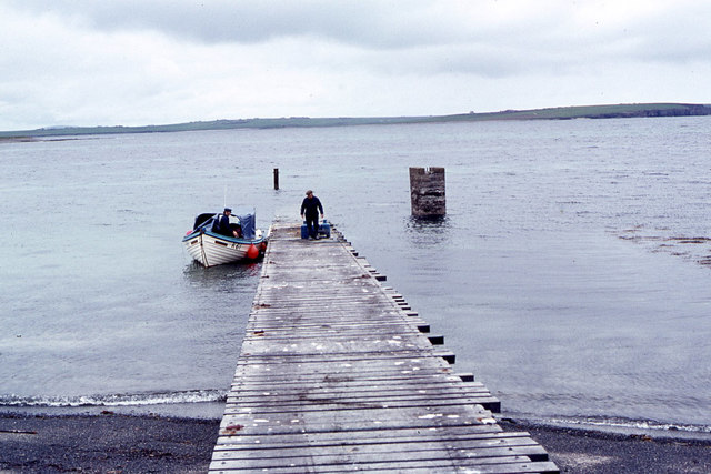
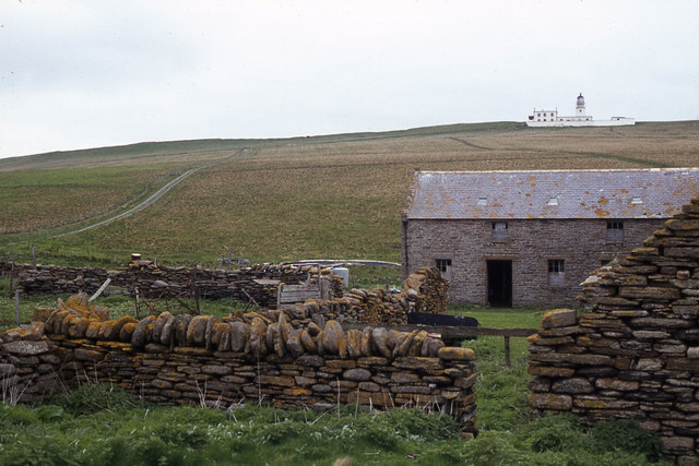
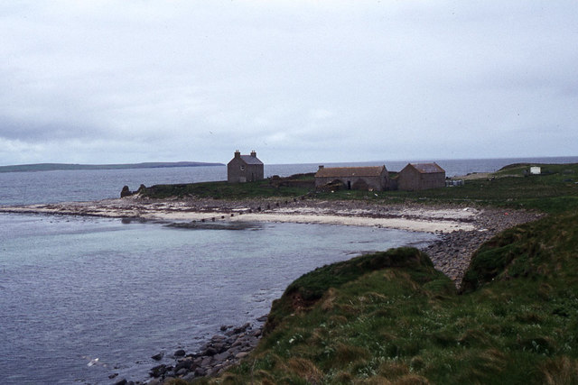
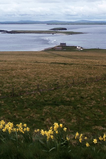
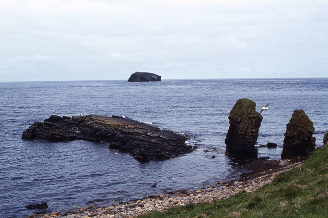
The Creels is a prominent coastal feature located in Orkney, a group of islands situated off the northeastern coast of Scotland. It takes the form of a rugged headland jutting out into the North Sea, creating a distinct point that stands out amidst the surrounding landscape.

This geographical formation is characterized by its sheer cliffs, which tower above the crashing waves below. The cliffs are composed of ancient rock formations, displaying layers of sedimentary deposits that have been shaped by millions of years of erosion. The Creels also offers breathtaking panoramic views of the surrounding coastline, with its vantage point allowing visitors to marvel at the vast expanse of the sea and the dramatic coastal scenery.

The name "The Creels" is derived from the Scottish Gaelic term for lobster pots, which were traditionally used by local fishermen in the area. This name reflects the historical significance of the site as a fishing location, where lobsters and other marine creatures were once abundant.

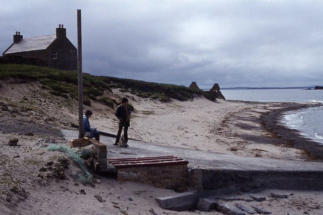
Today, The Creels continues to attract visitors and nature enthusiasts who are drawn to its natural beauty and unique geological features. It is also a popular spot for birdwatching, as the cliffs provide nesting sites for various seabirds, including puffins, guillemots, and kittiwakes. The area is part of a designated nature reserve, aiming to protect and preserve the diverse wildlife that calls The Creels home.

Overall, The Creels serves as a striking coastal feature, offering a glimpse into Orkney's geological history and providing a captivating experience for those who visit.

If you have any feedback on the listing, please let us know in the comments section below.

The Creels Images

Images are sourced within 2km of 58.904573/-2.7059043 or Grid Reference HY5902. Thanks to Geograph Open Source API. All images are credited.

Landing jetty on Copinsay
Copinsay - Island farm and road up to lighthouse
Copinsay - Island farm and associated buildings
Copinsay - rough grazing on slope west of lighthouse
Copinsay - rock stacks at Sandgeo Taing
Copinsay - Waiting for the return boat at top of jetty
Island of Copinsay and Skerries The house in the foreground was the farmhouse in the days the island was inhabited and farmed by one local family; the two islets further away are the "Skerries", connected by a causeway at low tide.  The land further in the distance is the Parish of Deerness, on the Mainland of Orkney, and in the extreme distance the two hills are Wideford Hill (HY4111) and Keelylang Hill (HY3710).
Island of Copinsay and Skerries
The house in the foreground was the farmhouse in the days the island was inhabited and farmed by one local family; the two islets further away are the "Skerries", connected by a causeway at low tide. The land further in the distance is the Parish of Deerness, on the Mainland of Orkney, and in the extreme distance the two hills are Wideford Hill (HY4111) and Keelylang Hill (HY3710).
Jetty, Copinsay Looking up to the lighthouse from the jetty on the wee island of Copinsay off the east coast of mainland Orkney. The island is both an RSPB reserve and SSSI.
Jetty, Copinsay
Looking up to the lighthouse from the jetty on the wee island of Copinsay off the east coast of mainland Orkney. The island is both an RSPB reserve and SSSI.
Hinger Stone and the South Nevi of Copinsay.
Pebble beach at Point of Ayre
Bight of Musker from Point of Ayre
Foreshore at Barns of Ayre, Deerness The shoreline is rocky and covered with large boulders of many sorts of rock.  The island in the background is the uninhabited island of Copinsay, now a Bird Reserve.
Foreshore at Barns of Ayre, Deerness
The shoreline is rocky and covered with large boulders of many sorts of rock. The island in the background is the uninhabited island of Copinsay, now a Bird Reserve.
One of many shallow rockpools on this coastline
Picnic shelter at Barnes of Ayre, Deerness The shelter was built as part of a tourist trail, and is remarkably effective - more so than you'd expect from the height of the wall.
Picnic shelter at Barnes of Ayre, Deerness
The shelter was built as part of a tourist trail, and is remarkably effective - more so than you'd expect from the height of the wall.
Coastal path to the Point of Ayre Looking along the coastline towards the Horse of Copinsay.
Coastal path to the Point of Ayre
Looking along the coastline towards the Horse of Copinsay.
Along the foreshore Horse of Copinsay in the distance.
Along the foreshore
Horse of Copinsay in the distance.
On the ebb Tide going out, exposing boulders and the wave-cut platform.
On the ebb
Tide going out, exposing boulders and the wave-cut platform.
Boulder storm beach Approaching the Point of Ayre.
Boulder storm beach
Approaching the Point of Ayre.
Show me another place!

The Creels is located at Grid Ref: HY5902 (Lat: 58.904573, Lng: -2.7059043)

Unitary Authority: Orkney Islands

Police Authority: Highlands and Islands

What 3 Words

///shakes.topic.named. Near Deerness, Orkney Islands

Related Wikis

Black Holm

Black Holm is a small tidal island in the Orkney Islands, near Copinsay to the west of Corn Holm off the north-eastern coast of Scotland. == Geography... ==

Corn Holm

Corn Holm is a small tidal island in Orkney, near Copinsay to the west, off the north-eastern coast of Scotland. There was once a small chapel there, and...

Copinsay

Copinsay (Old Norse: Kolbeinsey) is one of the Orkney Islands in Scotland, lying off the east coast of the Orkney Mainland. The smaller companion island...

Point of Ayre, Orkney

There are also two similarly named points in the British Isles: Point of Ayre, Isle of Man and Point of Ayr, Wales.Point of Ayre is a headland in the parish...

Horse of Copinsay

The Horse of Copinsay, also known as the Horse, is a rectangular uninhabited sea stack to the north east of Copinsay in the Orkney Islands, Scotland....

St Peter's Pool, Orkney

St Peter's Pool is a bay in the East Mainland of Orkney, Scotland. This bay was the site of significant coastal defences during World War II, when a German...

Deerness

Deerness (, locally , Old Norse: Dyrnes) is a quoad sacra parish (i.e. one created and functioning for ecclesiastical purposes only) and peninsula in Mainland...

The Gloup

The Gloup () is a collapsed sea cave in the Mull Head Nature Reserve in the islands of Orkney, Scotland. The name derives from the Old Norse "gluppa",...

Nearby Amenities

Located within 500m of 58.904573,-2.7059043
Created By: almien_coastlines mod
Lat/Long: 58.904707/-2.706326
Created By: almien_coastlines mod
Lat/Long: 58.904187/-2.702868
Created By: almien_coastlines mod
Lat/Long: 58.90367/-2.700399
Created By: almien_coastlines mod
Lat/Long: 58.903928/-2.701386
Created By: almien_coastlines mod
Lat/Long: 58.903415/-2.701144
Created By: almien_coastlines mod
Lat/Long: 58.9047/-2.703112
Created By: almien_coastlines mod
Lat/Long: 58.902645/-2.700161
Created By: almien_coastlines mod
Lat/Long: 58.904058/-2.702374
Created By: almien_coastlines mod
Lat/Long: 58.903281/-2.698423
Created By: almien_coastlines mod
Lat/Long: 58.904195/-2.706331
Created By: almien_coastlines mod
Lat/Long: 58.904957/-2.703604
Created By: almien_coastlines mod
Lat/Long: 58.90307/-2.700574
Created By: almien_coastlines mod
Lat/Long: 58.903534/-2.697432
Created By: almien_coastlines mod
Lat/Long: 58.903759/-2.701219
Created By: almien_coastlines mod
Lat/Long: 58.901621/-2.70017
Created By: almien_coastlines mod
Lat/Long: 58.903807/-2.70485
Created By: almien_coastlines mod
Lat/Long: 58.904832/-2.705336
Created By: almien_coastlines mod
Lat/Long: 58.905087/-2.704839
Created By: almien_coastlines mod
Lat/Long: 58.901112/-2.701164
Created By: almien_coastlines mod
Lat/Long: 58.903584/-2.701559
Created By: almien_coastlines mod
Lat/Long: 58.903244/-2.700234
Created By: almien_coastlines mod
Lat/Long: 58.901367/-2.700667
Created By: almien_coastlines mod
Lat/Long: 58.903283/-2.699413
Created By: almien_coastlines mod
Lat/Long: 58.903936/-2.705097
Created By: almien_coastlines mod
Lat/Long: 58.904065/-2.705342
Created By: almien_coastlines mod
Lat/Long: 58.905213/-2.703848
The data included in this document is from www.openstreetmap.org. The data is made available under ODbL.

Have you been to The Creels?

Leave your review of The Creels below (or comments, questions and feedback).