Querns of the Mull
Coastal Feature, Headland, Point in Orkney
Scotland
Querns of the Mull

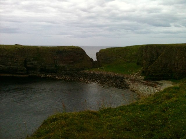
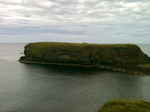
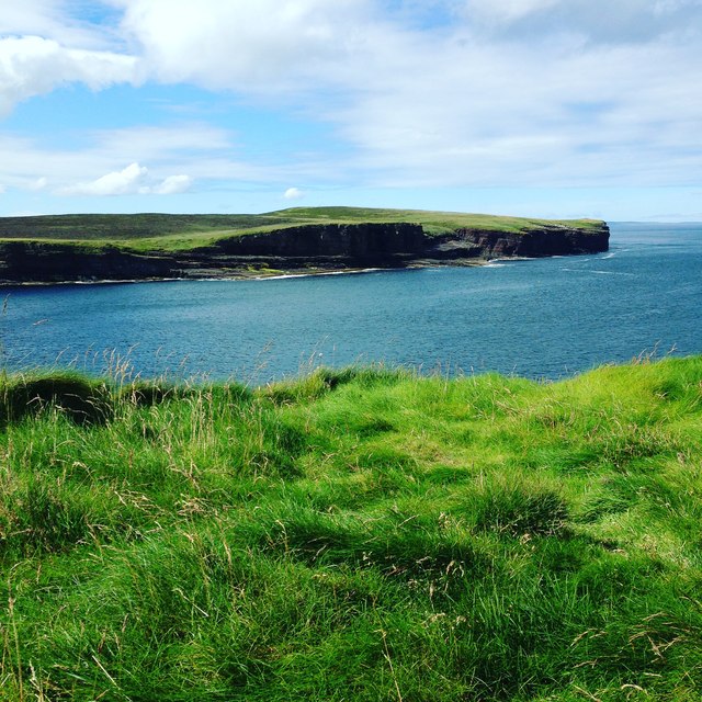
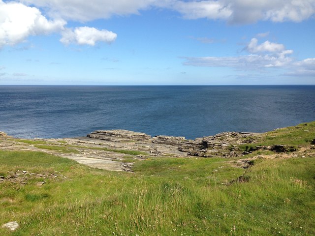
Querns of the Mull is a prominent coastal feature located on the island of Orkney, Scotland. It is situated on the western coast of the island, near the village of Birsay. Querns of the Mull is primarily characterized as a headland or point, jutting out into the North Atlantic Ocean.
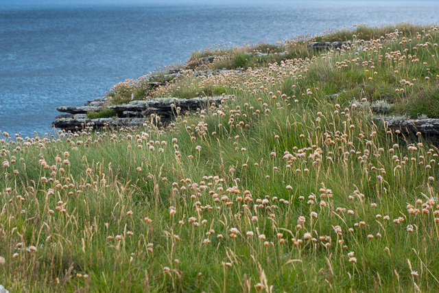
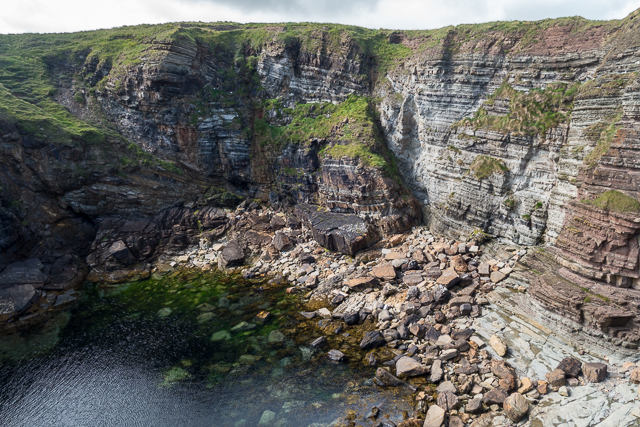
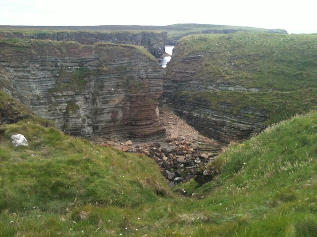
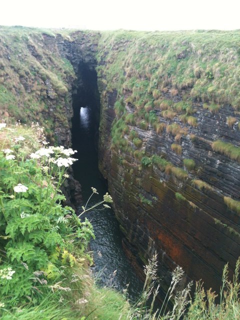
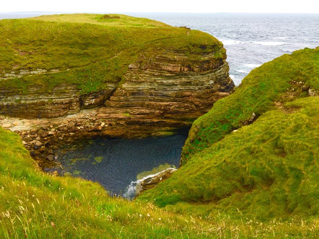
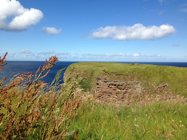
The headland is formed by a combination of rocky cliffs and rugged terrain, which contribute to its striking and dramatic appearance. The cliffs at Querns of the Mull are composed of sedimentary rocks, showcasing layers of sandstone and shale that have been shaped by erosion over thousands of years.
The name of this coastal feature, Querns of the Mull, has historical significance. "Querns" refers to ancient grinding stones that were used for milling grain, highlighting the area's historical association with agriculture and food production. The term "Mull" refers to a rounded headland or promontory, which perfectly describes the shape of this particular coastal feature.
Querns of the Mull offers breathtaking views of the surrounding coastline, with its towering cliffs providing a vantage point to observe the crashing waves and the diverse marine life that inhabits the waters below. The headland also serves as an important nesting site for various seabird species, including puffins, fulmars, and guillemots.
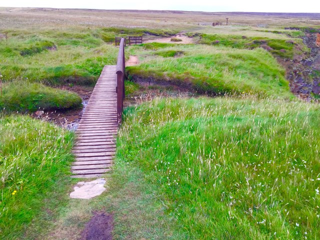
Due to its natural beauty, Querns of the Mull attracts visitors from near and far, who come to admire the rugged landscape, explore the nearby beaches, and enjoy the tranquil atmosphere of this remote corner of Orkney.
If you have any feedback on the listing, please let us know in the comments section below.
Querns of the Mull Images
Images are sourced within 2km of 58.972548/-2.7076072 or Grid Reference HY5909. Thanks to Geograph Open Source API. All images are credited.


Querns of the Mull is located at Grid Ref: HY5909 (Lat: 58.972548, Lng: -2.7076072)
Unitary Authority: Orkney Islands
Police Authority: Highlands and Islands
What 3 Words
///gear.munched.lavished. Near Deerness, Orkney Islands
Nearby Locations
Related Wikis

The Gloup
The Gloup () is a collapsed sea cave in the Mull Head Nature Reserve in the islands of Orkney, Scotland. The name derives from the Old Norse "gluppa",...

Deerness
Deerness (, locally , Old Norse: Dyrnes) is a quoad sacra parish (i.e. one created and functioning for ecclesiastical purposes only) and peninsula in Mainland...

Point of Ayre, Orkney
There are also two similarly named points in the British Isles: Point of Ayre, Isle of Man and Point of Ayr, Wales.Point of Ayre is a headland in the parish...

St Peter's Pool, Orkney
St Peter's Pool is a bay in the East Mainland of Orkney, Scotland. This bay was the site of significant coastal defences during World War II, when a German...

Horse of Copinsay
The Horse of Copinsay, also known as the Horse, is a rectangular uninhabited sea stack to the north east of Copinsay in the Orkney Islands, Scotland....

Black Holm
Black Holm is a small tidal island in the Orkney Islands, near Copinsay to the west of Corn Holm off the north-eastern coast of Scotland. == Geography... ==

Loch of Tankerness
Loch of Tankerness is a large, lowland, freshwater loch on the Orkney mainland in Scotland. The loch is roughly triangular in shape and is shallow with...
Corn Holm
Corn Holm is a small tidal island in Orkney, near Copinsay to the west, off the north-eastern coast of Scotland. There was once a small chapel there, and...
Nearby Amenities
Located within 500m of 58.972548,-2.7076072Have you been to Querns of the Mull?
Leave your review of Querns of the Mull below (or comments, questions and feedback).