Hen and Chickens
Coastal Feature, Headland, Point in Gloucestershire Forest of Dean
England
Hen and Chickens
Hen and Chickens is a coastal feature located in Gloucestershire, England. It is situated on the western coast of the county, near the town of Tewkesbury. Hen and Chickens is classified as a headland or a point, depending on the definition used.
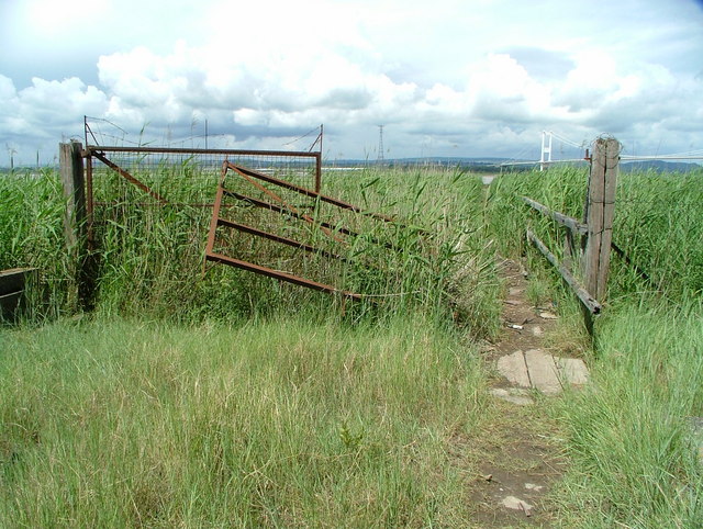
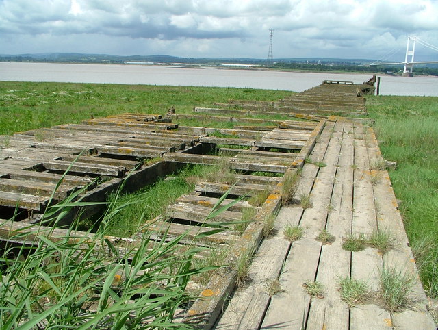
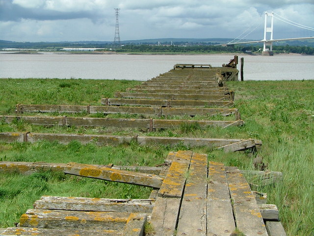
The feature is named after its resemblance to a hen followed by a brood of chicks. It is characterized by a series of small offshore islands that are connected to the mainland by a narrow strip of land, forming the shape of a hen with her chicks. These islands are rocky and covered in vegetation, providing a habitat for various seabirds and marine life.
Hen and Chickens is known for its scenic beauty and is a popular destination for nature enthusiasts and photographers. The rugged coastline and the crashing waves against the rocks create a dramatic and picturesque scene. The area offers stunning views of the surrounding landscape, including the nearby Tewkesbury Abbey and the Severn Estuary.
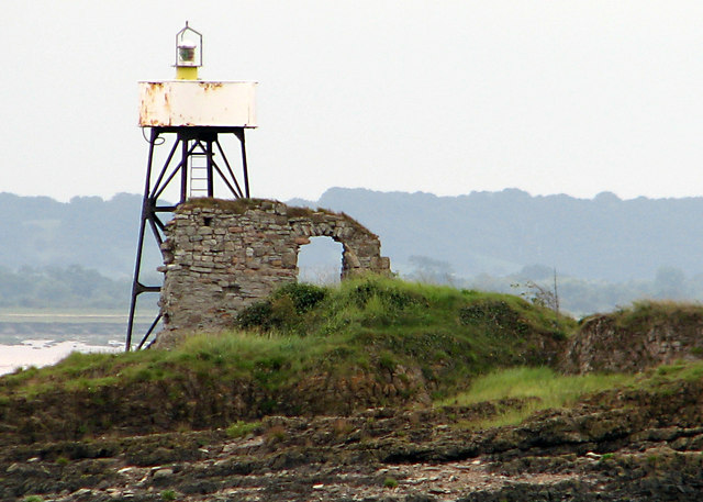
In addition to its natural beauty, Hen and Chickens also has historical significance. It is believed to have been used as a lookout point during ancient times, providing a strategic vantage point for monitoring the coastline. Today, remnants of this historical use can still be seen in the form of ancient defensive structures and ruins.
Overall, Hen and Chickens in Gloucestershire is a captivating coastal feature that combines natural beauty, wildlife, and historical significance. It attracts visitors from near and far who seek to explore and appreciate the unique charm of this picturesque location.
If you have any feedback on the listing, please let us know in the comments section below.
Hen and Chickens Images
Images are sourced within 2km of 51.614343/-2.6434617 or Grid Reference ST5590. Thanks to Geograph Open Source API. All images are credited.

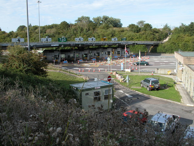

![Approach to the Severn Bridge Looking west along the M4 [as it was then] towards the recently completed bridge. One is hard pressed to remember the toll charges from the time, but it was probably less than the 12/6d [62.5p] charged on the old Aust ferry. Note the amount of traffic. Not many dared venture into Wales in those days.](https://s3.geograph.org.uk/photos/86/25/862599_2bfa3e50.jpg)
Hen and Chickens is located at Grid Ref: ST5590 (Lat: 51.614343, Lng: -2.6434617)
Administrative County: Gloucestershire
District: Forest of Dean
Police Authority: Gloucestershire
What 3 Words
///curtains.history.euphoric. Near Chepstow, Monmouthshire
Nearby Locations
Related Wikis
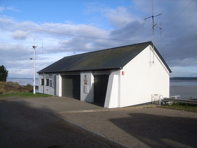
Severn Area Rescue Association
Severn Area Rescue Association (SARA) or Severn Rescue is an independent, marine and land based, search and rescue organisation covering the Severn Estuary...
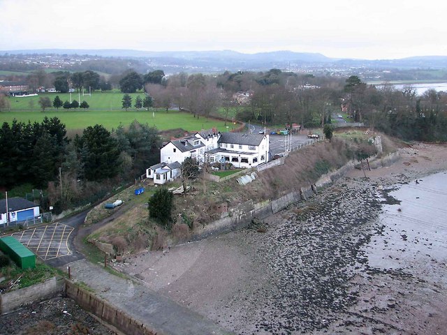
Beachley
Beachley is a village in Gloucestershire, England, near the border with Monmouthshire, Wales. It is located on a peninsula at the confluence of the rivers...

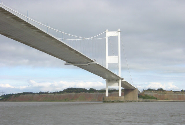
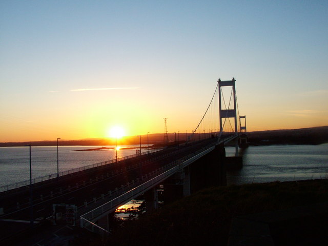
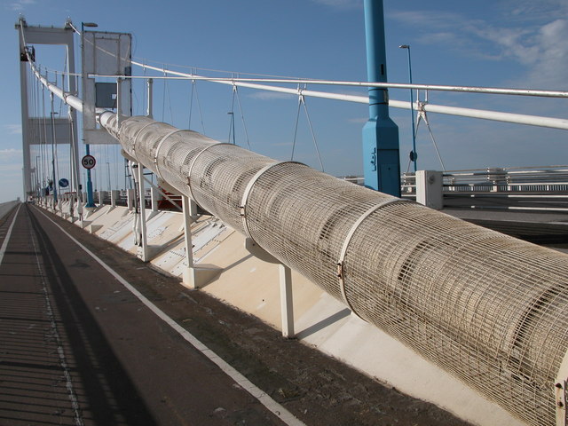
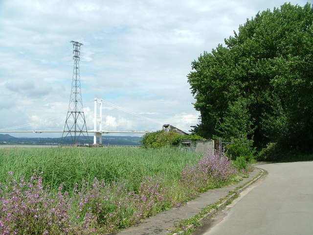
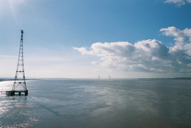
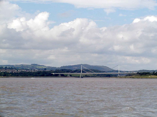
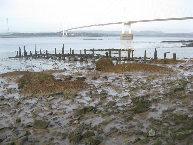
Severn Bridge
The Severn Bridge (Welsh: Pont Hafren) is a motorway suspension bridge that spans the River Severn between South Gloucestershire in England and Monmouthshire...

Beachley Barracks
Beachley Barracks is a British Army base at Beachley in Gloucestershire, England, close to the England–Wales border at Chepstow. The barracks is the home...
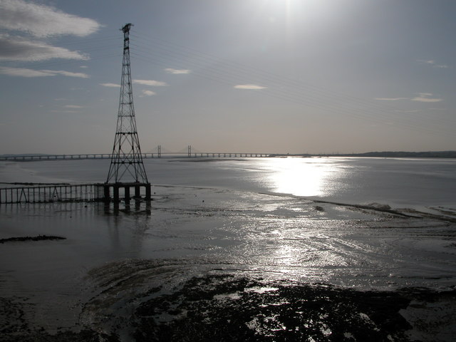
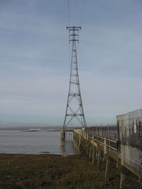
Aust Severn Powerline Crossing
Aust Severn Powerline Crossing is the longest overhead power line span in the United Kingdom with a length of 1,618 m (5,308 ft). == History == The crossing...
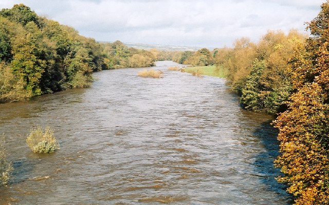
River Wye
The River Wye (; Welsh: Afon Gwy [ɡʊɨ̯]) is the fourth-longest river in the UK, stretching some 250 kilometres (155 miles) from its source on Plynlimon...
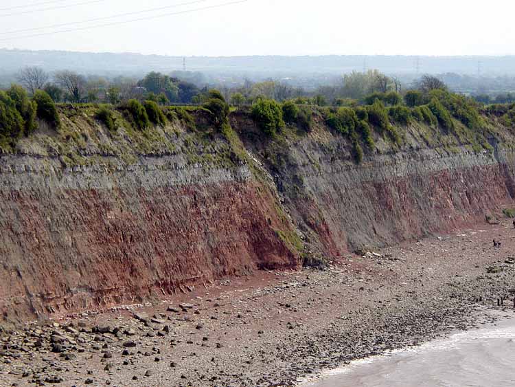
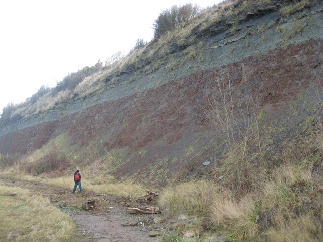
Aust Cliff
Aust Cliff (grid reference ST565894) is a 5.3 hectare geological Site of Special Scientific Interest adjacent to the Severn Estuary, near the village of...

Aust Ferry
Aust Ferry or Beachley Ferry was a ferry service that operated across the River Severn between Aust and Beachley, both in Gloucestershire, England. Before...
Nearby Amenities
Located within 500m of 51.614343,-2.6434617Have you been to Hen and Chickens?
Leave your review of Hen and Chickens below (or comments, questions and feedback).