Dod Rock
Island in Gloucestershire Forest of Dean
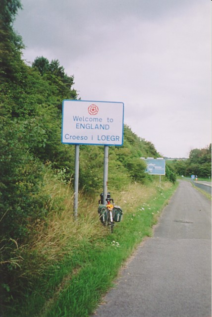
England
Dod Rock
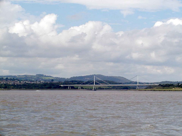
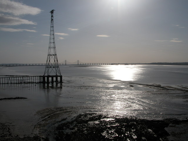
Dod Rock, located in Gloucestershire, England, is a small, isolated rock formation surrounded by the River Severn. It is often referred to as a "rock island" due to its unique geographical features. The rock measures approximately 44 meters in length and is situated near the town of Tewkesbury.
Dod Rock has a rich history dating back several centuries. It is believed to have been formed during the last Ice Age, with the river's flow gradually eroding the surrounding land and leaving behind this distinctive rock formation. Over the years, it has served various purposes, including a vantage point for anglers and a navigation marker for river traffic.
At present, Dod Rock is primarily known as a popular destination for birdwatching enthusiasts. The rock's strategic location provides an ideal habitat for a variety of bird species, particularly during the migratory season. Birdwatchers can often spot different types of waterfowl, wading birds, and other avian species in the vicinity.
Access to Dod Rock is limited due to its isolated location, and visitors are advised to take caution when attempting to reach the rock. However, its picturesque setting and the opportunity to observe diverse birdlife make it an attractive spot for nature lovers and photographers alike.
In conclusion, Dod Rock is a small rock island in Gloucestershire, England, with a rich history and a thriving bird population. Its unique location and natural beauty make it a fascinating site for those interested in exploring the region's natural wonders.
If you have any feedback on the listing, please let us know in the comments section below.
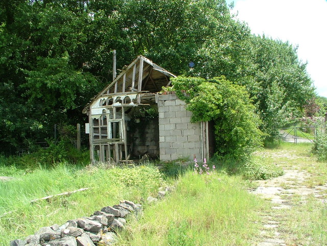
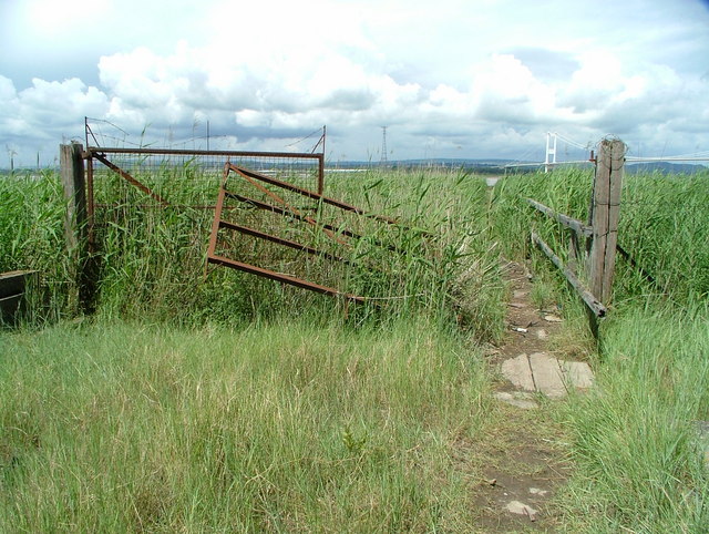
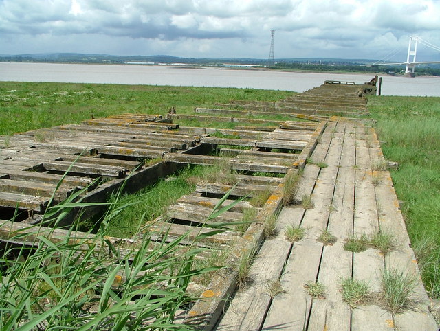
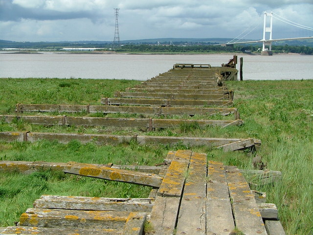
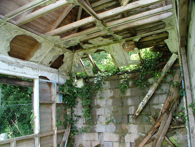
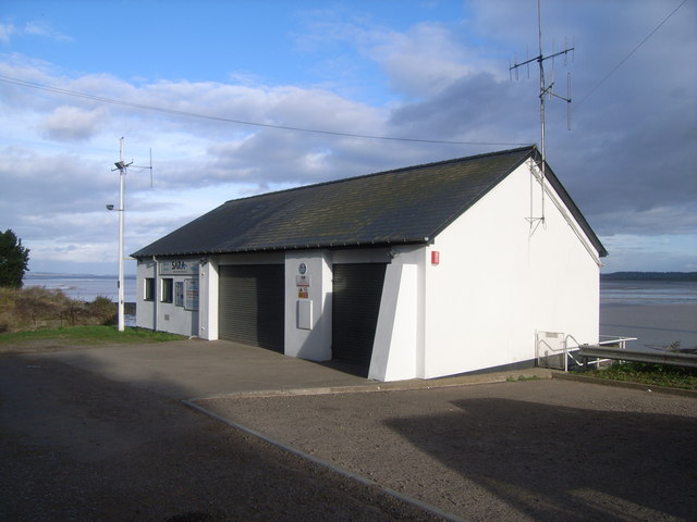
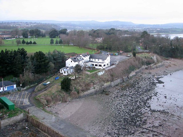
Dod Rock Images
Images are sourced within 2km of 51.609894/-2.6464458 or Grid Reference ST5590. Thanks to Geograph Open Source API. All images are credited.

Dod Rock is located at Grid Ref: ST5590 (Lat: 51.609894, Lng: -2.6464458)
Administrative County: Gloucestershire
District: Forest of Dean
Police Authority: Gloucestershire
What 3 Words
///ringers.misfits.resort. Near Chepstow, Monmouthshire
Nearby Locations
Related Wikis
Severn Area Rescue Association
Severn Area Rescue Association (SARA) or Severn Rescue is an independent, marine and land based, search and rescue organisation covering the Severn Estuary...

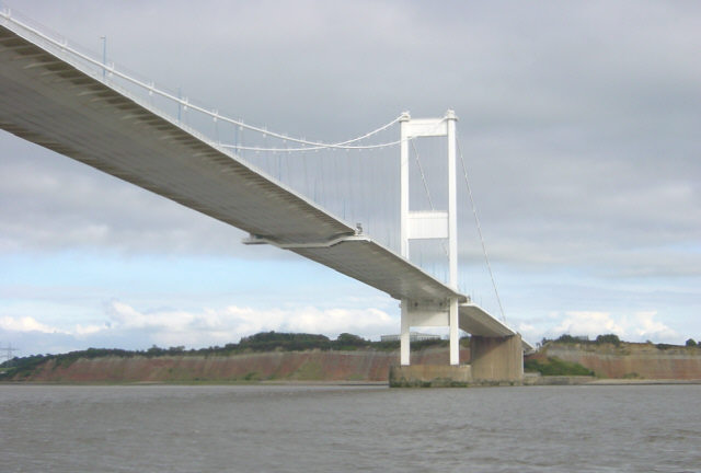
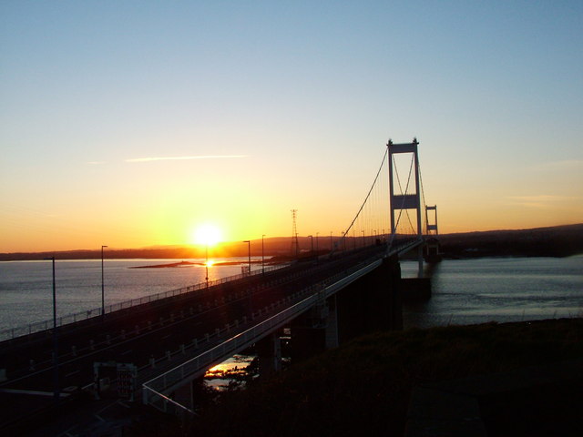
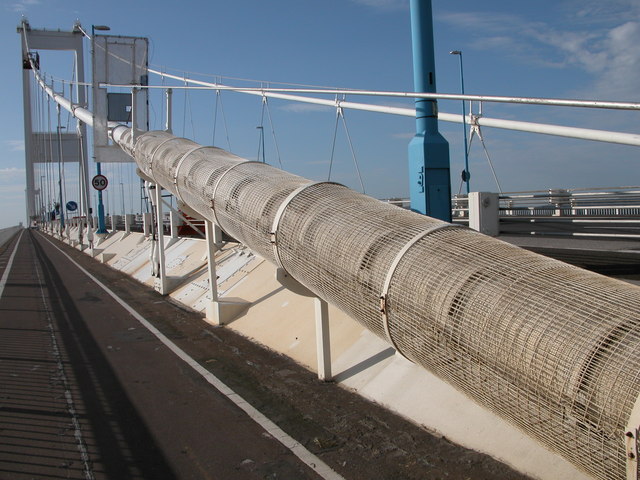
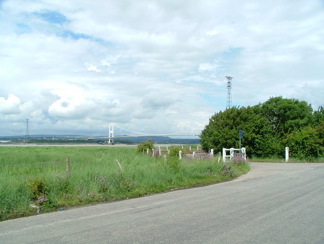
Severn Bridge
The Severn Bridge (Welsh: Pont Hafren) is a motorway suspension bridge that spans the River Severn between South Gloucestershire in England and Monmouthshire...
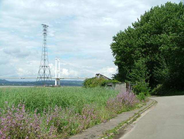
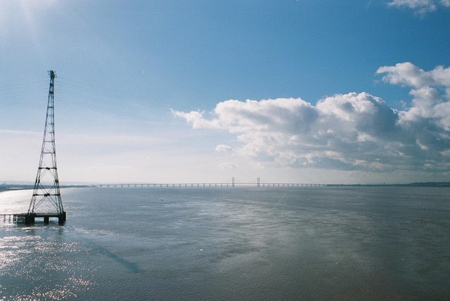
Aust Severn Powerline Crossing
Aust Severn Powerline Crossing is the longest overhead power line span in the United Kingdom with a length of 1,618 m (5,308 ft). == History == The crossing...
Beachley
Beachley is a village in Gloucestershire, England, near the border with Monmouthshire, Wales. It is located on a peninsula at the confluence of the rivers...
Nearby Amenities
Located within 500m of 51.609894,-2.6464458Have you been to Dod Rock?
Leave your review of Dod Rock below (or comments, questions and feedback).