Beachley
Settlement in Gloucestershire Forest of Dean
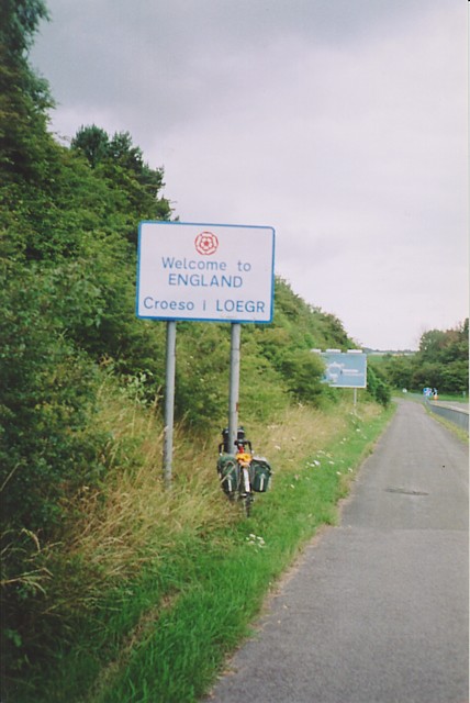
England
Beachley
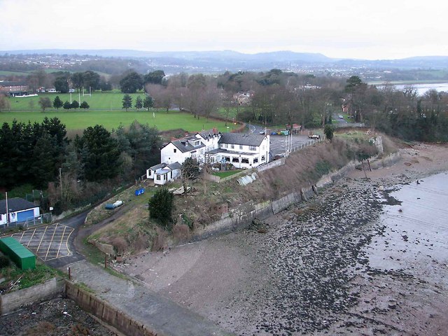
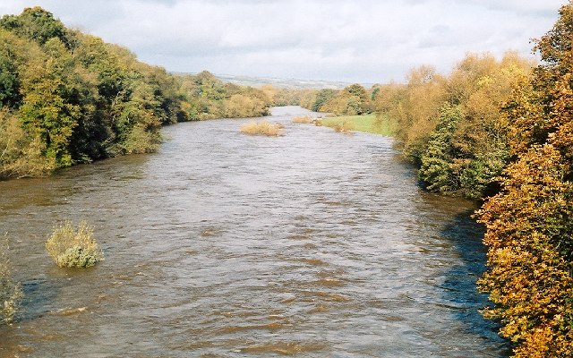
Beachley is a small village located in Gloucestershire, England. Situated on the banks of the River Severn, it is known for its picturesque setting and rich history. With a population of around 500 residents, Beachley offers a tranquil and close-knit community atmosphere.
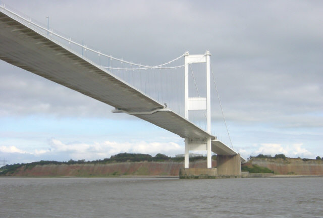
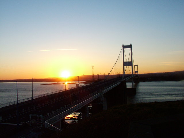
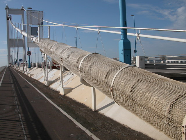
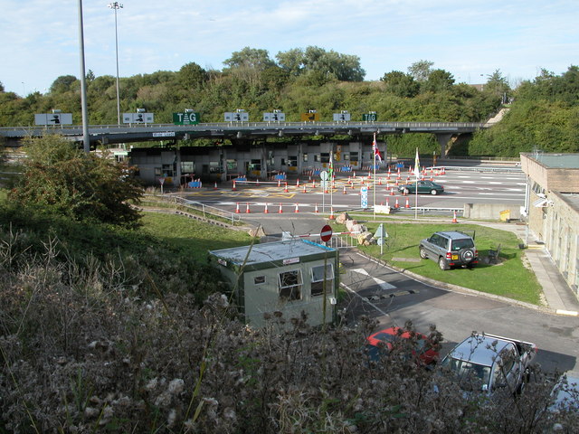
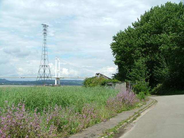
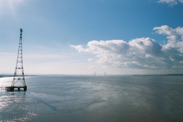
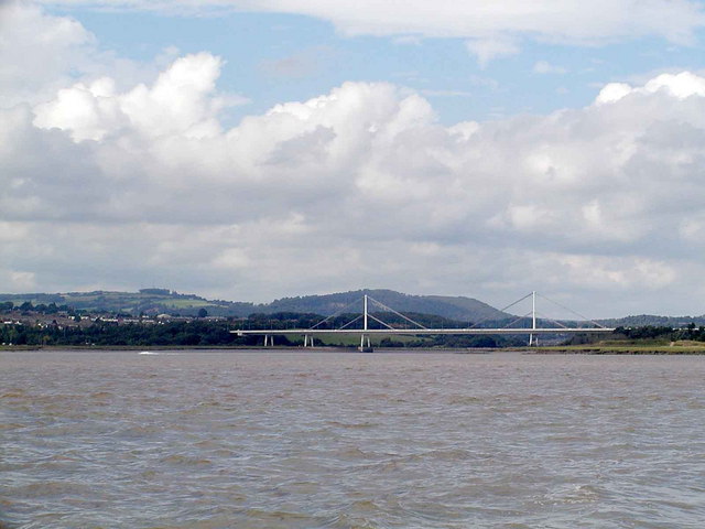
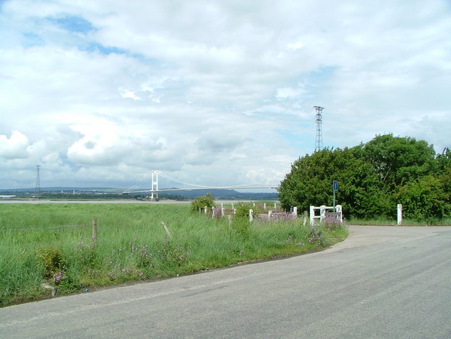
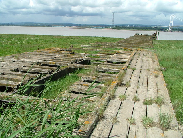
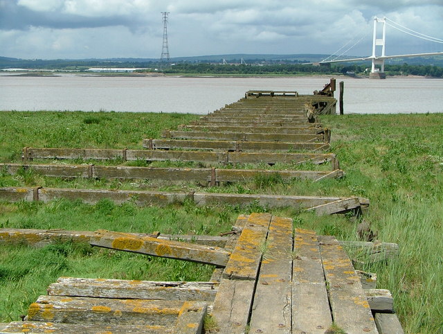
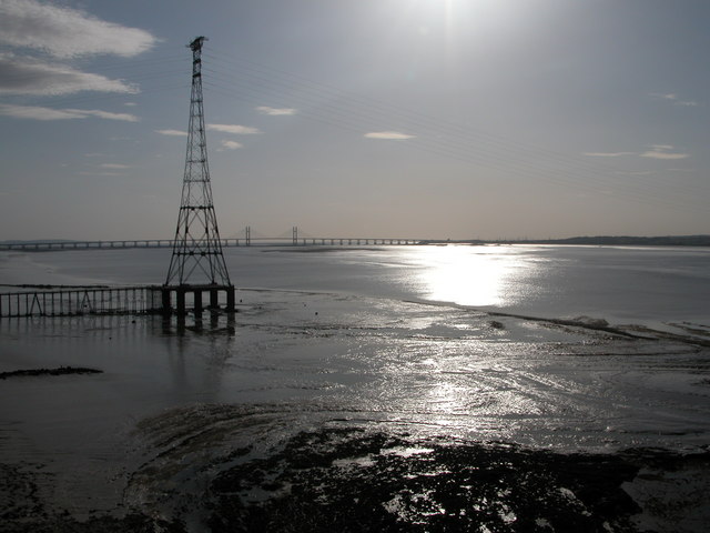
The village is famous for its proximity to the Severn Bridge, which connects England and Wales. This iconic suspension bridge is a major landmark and an important transport link between the two countries. Beachley benefits from its strategic location, attracting visitors who appreciate its scenic beauty and historic significance.
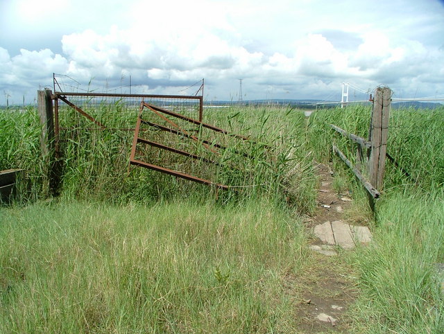
The natural surroundings of Beachley make it a popular spot for outdoor enthusiasts. The village is surrounded by rolling hills and lush greenery, providing ample opportunities for hiking, cycling, and picnicking. The riverfront also offers a range of water-based activities like fishing and boating.
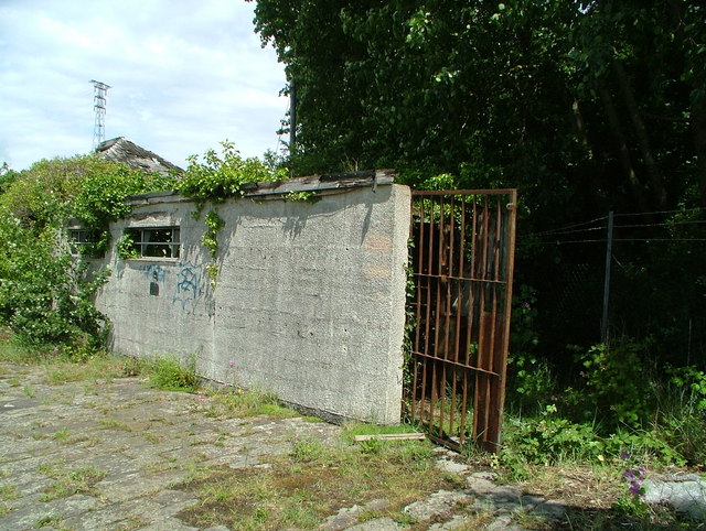
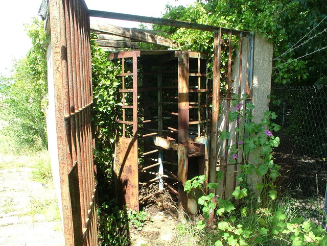
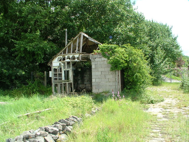
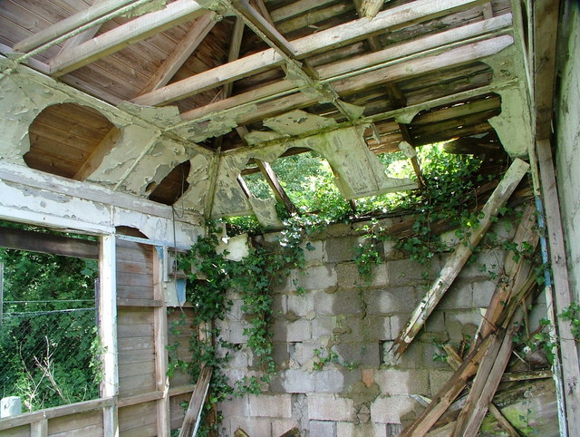
Despite its small size, Beachley has a rich history. It was once an important military site, housing a British Army depot during World War II. Today, remnants of the military presence can still be seen in the form of old barracks and ammunition stores. The village also played a role in the construction of the Severn Bridge, with workers and engineers residing in the area during its development.
In terms of amenities, Beachley offers a few local shops, a village hall, and a primary school. For further services and facilities, residents can easily access nearby towns such as Chepstow and Thornbury. Beachley may be small, but it possesses a unique charm that attracts both visitors and locals alike.
If you have any feedback on the listing, please let us know in the comments section below.
Beachley Images
Images are sourced within 2km of 51.608349/-2.647638 or Grid Reference ST5590. Thanks to Geograph Open Source API. All images are credited.

Beachley is located at Grid Ref: ST5590 (Lat: 51.608349, Lng: -2.647638)
Administrative County: Gloucestershire
District: Forest of Dean
Police Authority: Gloucestershire
What 3 Words
///strategy.redeeming.thumbnail. Near Chepstow, Monmouthshire
Nearby Locations
Related Wikis
Aust Severn Powerline Crossing
Aust Severn Powerline Crossing is the longest overhead power line span in the United Kingdom with a length of 1,618 m (5,308 ft). == History == The crossing...
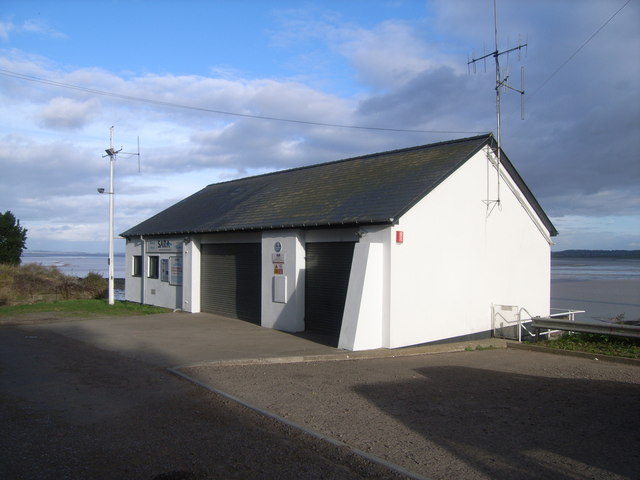
Severn Area Rescue Association
Severn Area Rescue Association (SARA) or Severn Rescue is an independent, marine and land based, search and rescue organisation covering the Severn Estuary...

Severn Bridge
The Severn Bridge (Welsh: Pont Hafren) is a motorway suspension bridge that spans the River Severn between South Gloucestershire in England and Monmouthshire...
Beachley
Beachley is a village in Gloucestershire, England, near the border with Monmouthshire, Wales. It is located on a peninsula at the confluence of the rivers...
River Wye
The River Wye (; Welsh: Afon Gwy [ɡʊɨ̯]) is the fourth-longest river in the UK, stretching some 250 kilometres (155 miles) from its source on Plynlimon...

Beachley Barracks
Beachley Barracks is a British Army base at Beachley in Gloucestershire, England, close to the England–Wales border at Chepstow. The barracks is the home...
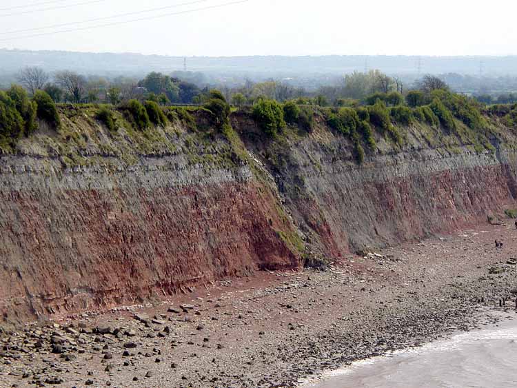
Aust Cliff
Aust Cliff (grid reference ST565894) is a 5.3 hectare geological Site of Special Scientific Interest adjacent to the Severn Estuary, near the village of...

Aust Ferry
Aust Ferry or Beachley Ferry was a ferry service that operated across the River Severn between Aust and Beachley, both in Gloucestershire, England. Before...
Nearby Amenities
Located within 500m of 51.608349,-2.647638Have you been to Beachley?
Leave your review of Beachley below (or comments, questions and feedback).