Beansburn

Settlement in Ayrshire

Scotland

Beansburn

A77 at Assloss After travelling over 70 miles through the Galloway Hills on a journey to Glasgow with wind speeds in Scotland over the 100mph mark it came as quite a surprise to see this information sign on the A77 that "high winds were forecast". They'd already arrived and we'd driven through them past many fallen trees and debris on the road. Some of the worst wind conditions every experienced in Scotland happened today and continued through the night. Well, I suppose that at least the signs didn't display their usual messages of "Remember to check your tyres" and "Fill your windscreen water bottle". We should be thankful for small blessings.
A77 at Assloss Credit: Andy Farrington

Beansburn is a small village located in the county of Ayrshire, in the southwest of Scotland. Situated just outside the town of Kilmarnock, Beansburn is a residential area known for its peaceful atmosphere and close-knit community.

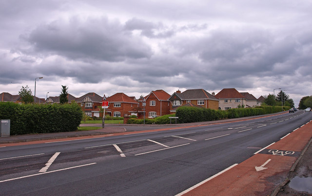
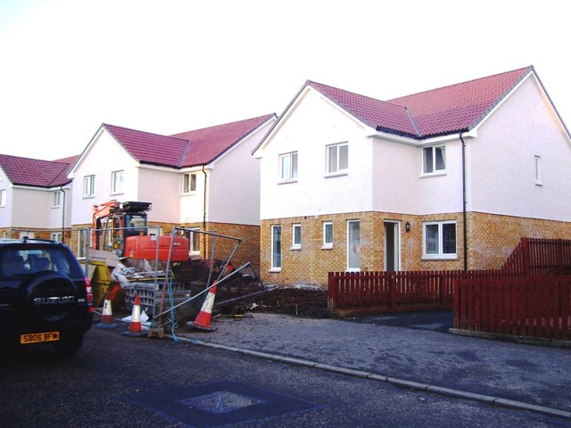
The village is characterized by rows of charming houses, mostly built in the mid-20th century, with well-maintained gardens and tree-lined streets. The architecture reflects the typical Scottish style, with a mix of stone and brick constructions. The area offers a range of housing options, from cozy cottages to larger family homes.

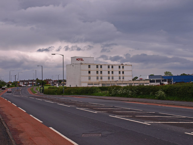
Beansburn benefits from its proximity to Kilmarnock, which provides residents with access to a wide range of amenities and services. The village itself boasts a local convenience store and a primary school, providing convenience for daily needs and educational opportunities for families with young children.

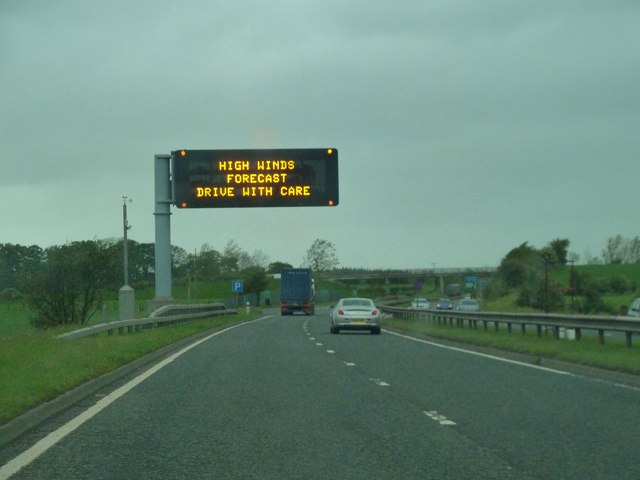
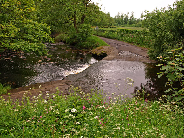
Nature enthusiasts can enjoy the nearby countryside, with beautiful green spaces and walking trails. Ayrshire is renowned for its picturesque landscapes, and Beansburn is no exception. The village is surrounded by rolling hills and open fields, offering residents the opportunity to immerse themselves in nature and enjoy outdoor activities.

With its peaceful setting and friendly community, Beansburn is an ideal place for those seeking a quiet residential area while still having easy access to urban amenities. Whether it's enjoying the natural beauty of the surroundings or participating in local community events, Beansburn offers a tranquil and welcoming lifestyle for its residents.

If you have any feedback on the listing, please let us know in the comments section below.
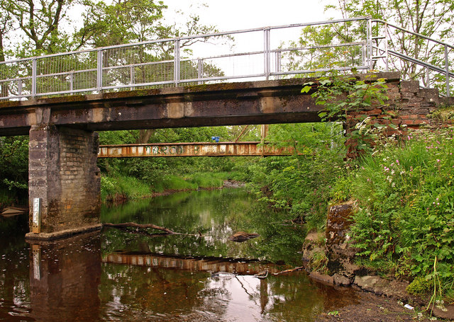
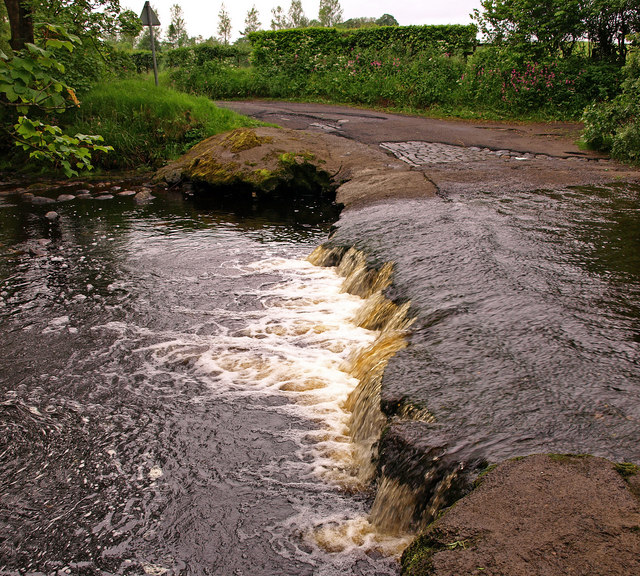
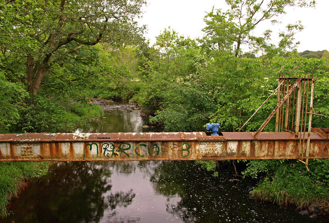
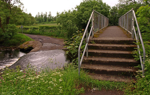
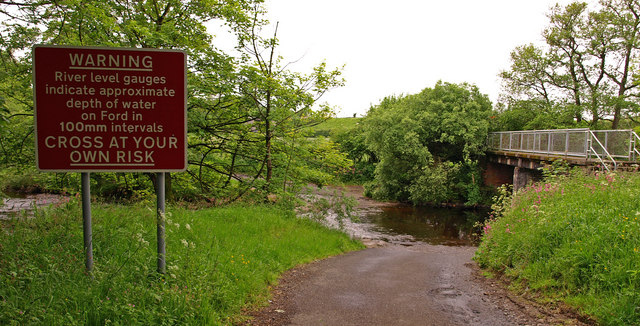
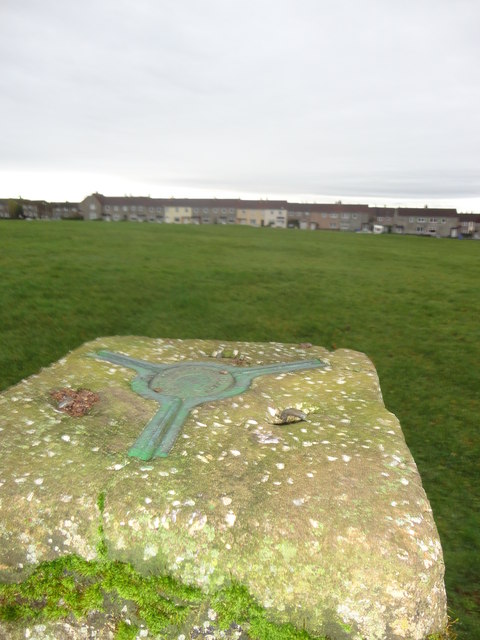
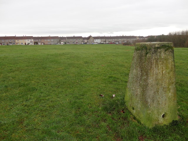
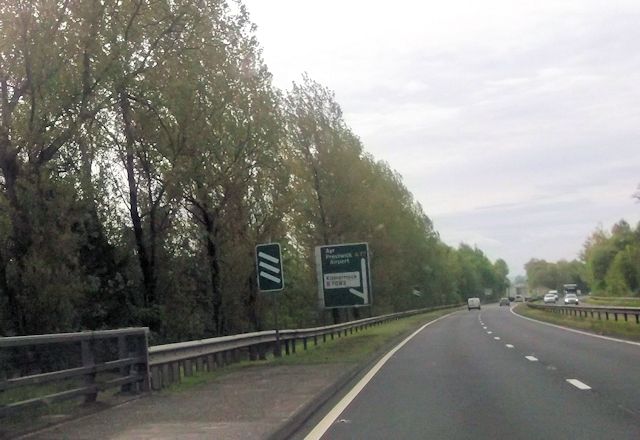
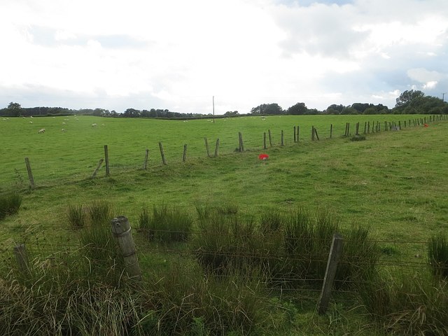
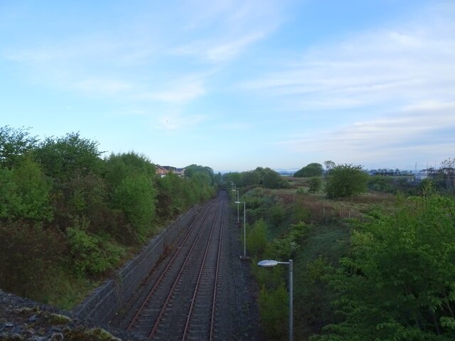
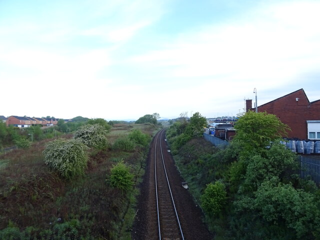
Beansburn Images

Images are sourced within 2km of 55.621325/-4.48899 or Grid Reference NS4339. Thanks to Geograph Open Source API. All images are credited.

A77 at Assloss After travelling over 70 miles through the Galloway Hills on a journey to Glasgow with wind speeds in Scotland over the 100mph mark it came as quite a surprise to see this information sign on the A77 that "high winds were forecast". They'd already arrived and we'd driven through them past many fallen trees and debris on the road. Some of the worst wind conditions every experienced in Scotland happened today and continued through the night. Well, I suppose that at least the signs didn't display their usual messages of "Remember to check your tyres" and "Fill your windscreen water bottle". We should be thankful for small blessings.
A77 at Assloss
After travelling over 70 miles through the Galloway Hills on a journey to Glasgow with wind speeds in Scotland over the 100mph mark it came as quite a surprise to see this information sign on the A77 that "high winds were forecast". They'd already arrived and we'd driven through them past many fallen trees and debris on the road. Some of the worst wind conditions every experienced in Scotland happened today and continued through the night. Well, I suppose that at least the signs didn't display their usual messages of "Remember to check your tyres" and "Fill your windscreen water bottle". We should be thankful for small blessings.
Disused Hotel, Kilmarnock On the outskirts of the town beside the B7038.
Disused Hotel, Kilmarnock
On the outskirts of the town beside the B7038.
Kilmarnock, B7038 Houses at Burns Crescent
Kilmarnock, B7038
Houses at Burns Crescent
Craufurdland Water near Kilmarnock Looking over the Ford. Some of the old cobbles have been exposed on the road.
Craufurdland Water near Kilmarnock
Looking over the Ford. Some of the old cobbles have been exposed on the road.
Craufurdland Water , Kilmarnock Viewed from the ford showing the footbridge and the water pipe behind.
Craufurdland Water , Kilmarnock
Viewed from the ford showing the footbridge and the water pipe behind.
Craufurdland Water , Kilmarnock The ford at a low water.
Craufurdland Water , Kilmarnock
The ford at a low water.
Craufurdland Water , Kilmarnock Encased water pipe crossing the water.
Craufurdland Water , Kilmarnock
Encased water pipe crossing the water.
Footbridge over Craufurdland Water , Kilmarnock Ford on the left.
Footbridge over Craufurdland Water , Kilmarnock
Ford on the left.
Warning Sign at Ford Craufurdland Water, Kilmarnock.
Warning Sign at Ford
Craufurdland Water, Kilmarnock.
Onthank Trigpoint
Onthank Trigpoint
South Onthank Trigpoint
New houses, Craufurdland Road
300 yards from B7082 junction from A77
Field, Borland There is so much more to this square than a windscreen. One of a few fields hereabouts grazed by sheep.
Field, Borland
There is so much more to this square than a windscreen. One of a few fields hereabouts grazed by sheep.
Passing loop on the former Kilmarnock to Crosshouse rail line From the bridge on the B7064.
Passing loop on the former Kilmarnock to Crosshouse rail line
From the bridge on the B7064.
Kilmarnock to Glasgow railway From the bridge on the B7064.
Kilmarnock to Glasgow railway
From the bridge on the B7064.
Car dealership on Western Road, Kilmarnock
Shop on Kilmaurs Road, Kilmarnock
Show me another place!

Beansburn is located at Grid Ref: NS4339 (Lat: 55.621325, Lng: -4.48899)

Unitary Authority: East Ayrshire

Police Authority: Ayrshire

What 3 Words

///scrubbing.hardback.stumpy. Near Kilmarnock, East Ayrshire

Related Wikis

Bonnyton Thistle F.C.

Bonnyton Thistle Football Club is a Scottish football team based in the Bonnyton area in the town of Kilmarnock, East Ayrshire. They are members of the...

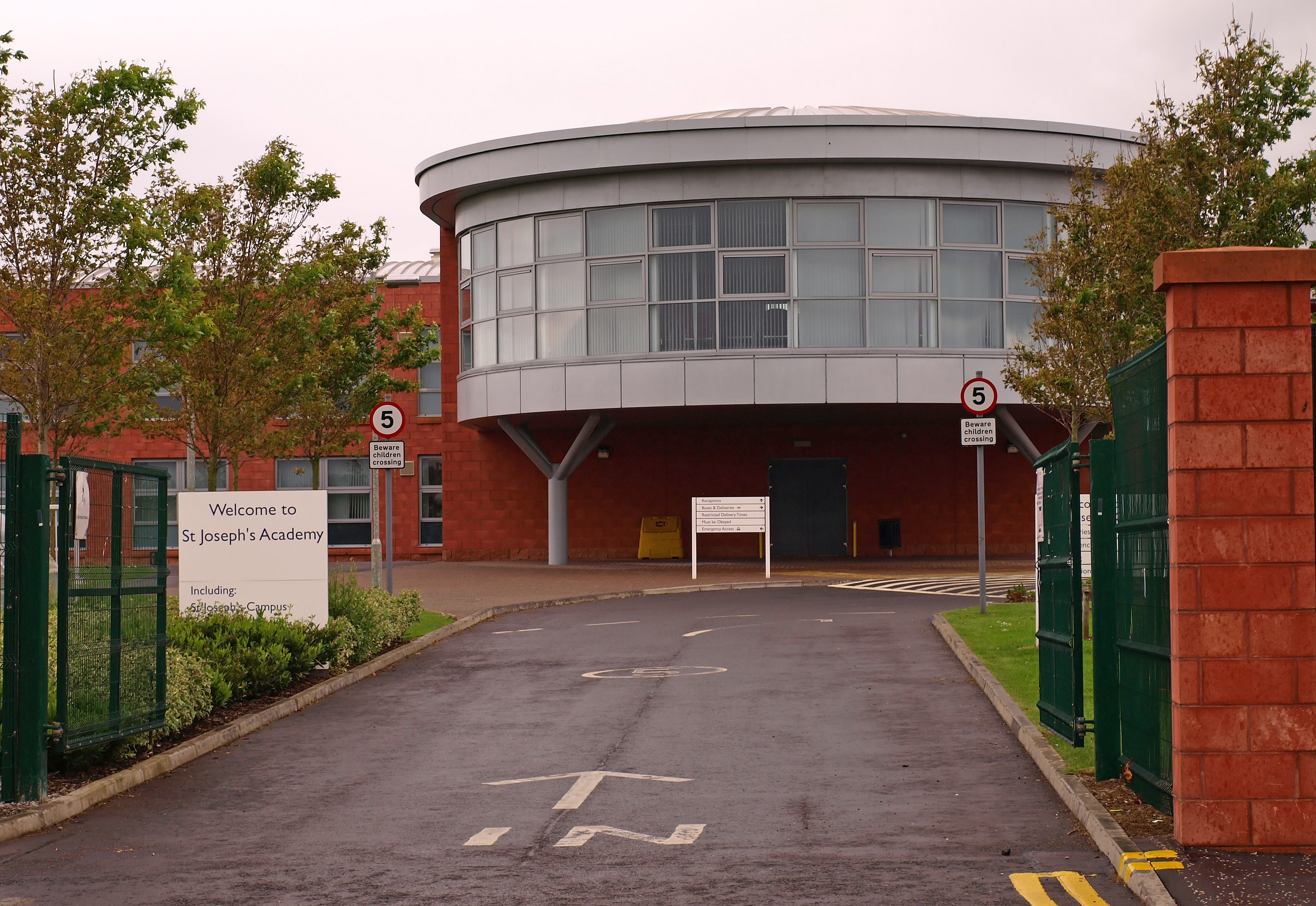
Saint Joseph's Academy, Kilmarnock

Saint Josephs' Academy (Scottish Gaelic: Acadamaidh Naomh Iòsaph) is a Roman Catholic secondary school in New Farm Loch, Kilmarnock, East Ayrshire, Scotland...

Kilmarnock Infirmary

Kilmarnock Infirmary was a general hospital in Kilmarnock, Ayrshire in Scotland. Opened in 1868, it was designed by renowned Kilmarnock architect William...

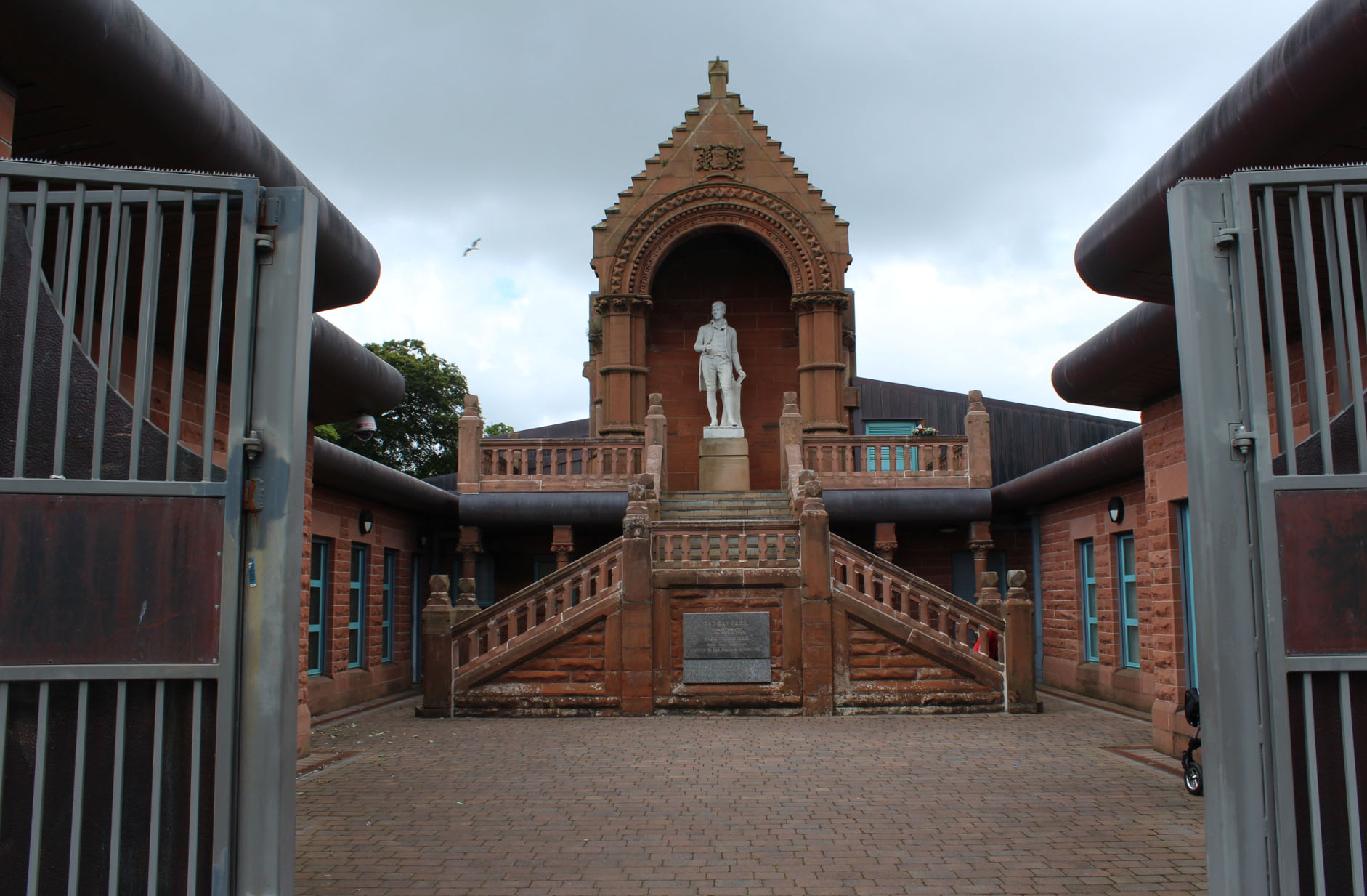
Burns Monument, Kilmarnock

The Burns Monument in Kay Park, Kilmarnock, Scotland, commemorates the poet Robert Burns (1759–1796). It is located at an elevated position within Kay...

Nearby Amenities

Located within 500m of 55.621325,-4.48899
Fixme: resurvey
Traffic Calming: bump
Lat/Long: 55.6202942/-4.4852541
Fixme: resurvey
Traffic Calming: bump
Lat/Long: 55.6197605/-4.4836853
Information: board
Tourism: information
Lat/Long: 55.6209295/-4.4859704
Recycling
Recycling Cans: yes
Recycling Glass: yes
Lat/Long: 55.6206672/-4.4861137
Waste Basket
Lat/Long: 55.6208881/-4.4853163
Fixme: resurvey
Traffic Calming: chicane
Lat/Long: 55.6201451/-4.4848345
Information: board
Tourism: information
Lat/Long: 55.6212001/-4.4859525
Traffic Calming: hump
Lat/Long: 55.6212181/-4.4859219
Access: yes
Entrance: main
Wheelchair: yes
Lat/Long: 55.6216917/-4.4862295
Toilets
Fee: no
Wheelchair: yes
Lat/Long: 55.6217065/-4.4863485
Parking
Capacity: 1
Capacity Disabled: 1
Capacity Parent: no
Capacity Women: no
Fee: no
Park Ride: no
Parking: surface
Lat/Long: 55.6213711/-4.48572
Information: office
Tourism: information
Lat/Long: 55.6217343/-4.486229
Cafe
Lat/Long: 55.6217716/-4.4861078
Bench
Backrest: yes
Check Date: 2021-07-14
Colour: green
Material: metal
Seats: 3
Lat/Long: 55.6228562/-4.4852521
Kilmarnock and Loudon Trade Unions Council
Historic: memorial
Lat/Long: 55.6228135/-4.4852688
Traffic Calming: hump
Lat/Long: 55.6220054/-4.48498
Board Type: history
Information: board
Tourism: information
Lat/Long: 55.6223971/-4.48455
Traffic Calming: hump
Lat/Long: 55.6223876/-4.4845366
Bench
Backrest: yes
Colour: brown
Material: wood
Seats: 3
Lat/Long: 55.6233895/-4.484757
Bench
Backrest: yes
Colour: brown
Material: wood
Seats: 3
Lat/Long: 55.6233515/-4.4847829
Bench
Backrest: yes
Colour: brown
Material: wood
Seats: 3
Lat/Long: 55.6231984/-4.4848871
Bench
Backrest: yes
Colour: brown
Material: wood
Seats: 3
Lat/Long: 55.6232897/-4.4848414
Bench
Backrest: yes
Colour: brown
Material: wood
Seats: 3
Lat/Long: 55.6234404/-4.4846968
Bench
Backrest: yes
Colour: brown
Material: wood
Seats: 3
Lat/Long: 55.6234922/-4.4845903
Waste Basket
Lat/Long: 55.6232649/-4.4842098
Man Made: surveillance
Surveillance: outdoor
Lat/Long: 55.622804/-4.4835343
Check Date: 2021-07-14
Traffic Calming: hump
Lat/Long: 55.6228985/-4.4834126
Bus Stop
Castle Drive
Naptan AtcoCode: 618093
Naptan NaptanCode: 56523729
Lat/Long: 55.624723/-4.4875487
Bus Stop
Castle Drive
Naptan AtcoCode: 618094
Naptan NaptanCode: 56523696
Lat/Long: 55.6245473/-4.4873341
Post Box
Lat/Long: 55.6243714/-4.4879805
Barrier: fence
Lat/Long: 55.6225837/-4.4964041
Bicycle Parking
Capacity: 4
Covered: no
Lat/Long: 55.6209105/-4.4861078
Crossing
Crossing: uncontrolled
Crossing Ref: zebra
Lat/Long: 55.6226858/-4.4902186
Leisure: picnic_table
Lat/Long: 55.6209055/-4.4861555
Leisure: picnic_table
Lat/Long: 55.6209653/-4.4862977
Bench
Lat/Long: 55.622429/-4.482702
Bench
Lat/Long: 55.6223274/-4.4830936
Leisure: picnic_table
Lat/Long: 55.6221614/-4.4837901
Leisure: picnic_table
Lat/Long: 55.6222289/-4.4837558
Leisure: picnic_table
Lat/Long: 55.621813/-4.4862892
Leisure: picnic_table
Lat/Long: 55.6218449/-4.4861436
Access: yes
Entrance: main
Wheelchair: yes
Lat/Long: 55.6217875/-4.486326
Longpark
Place: suburb
Lat/Long: 55.6214167/-4.4967303
Beansburn
Place: suburb
Lat/Long: 55.6194758/-4.4891276
Townholm
Place: suburb
Lat/Long: 55.617525/-4.4878969
Bus Stop
Lat/Long: 55.6202316/-4.4919435
The data included in this document is from www.openstreetmap.org. The data is made available under ODbL.

Have you been to Beansburn?

Leave your review of Beansburn below (or comments, questions and feedback).