Beanthwaite

Settlement in Lancashire South Lakeland

England

Beanthwaite

A595 at Ellermire Bridge
A595 at Ellermire Bridge Credit: Colin Pyle

Branthwaite is a small village located in the county of Lancashire, England. Situated in the borough of Allerdale, it lies within the picturesque Lake District National Park. The village is nestled in the northern part of the county, near the town of Keswick.

With a population of approximately 200 residents, Branthwaite offers a tranquil and idyllic setting for those seeking a rural getaway. Surrounded by breathtaking landscapes, the village is known for its stunning views of the nearby fells, including Skiddaw and Blencathra.

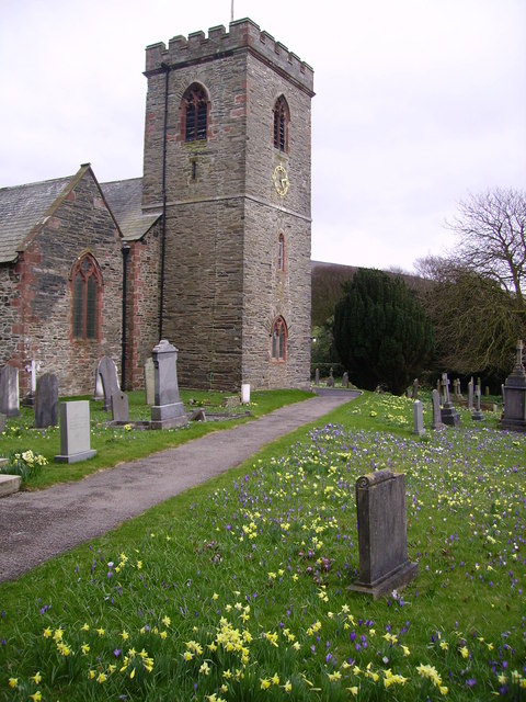
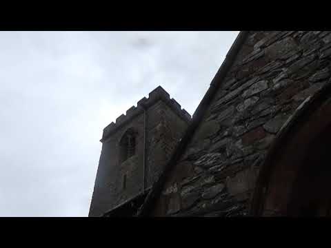
Despite its small size, Branthwaite boasts a rich history that can be traced back to the medieval period. Some of the village's historic buildings, such as the St. Bridget's Church, date back several centuries and offer a glimpse into its past.

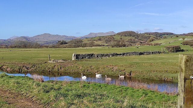
Nature enthusiasts will find themselves in paradise in Branthwaite, as it provides ample opportunities for outdoor activities. The nearby Lake District National Park offers a wide range of hiking trails, cycling routes, and water sports options, including kayaking and fishing. The village is also a popular starting point for exploring the surrounding fells and mountains.

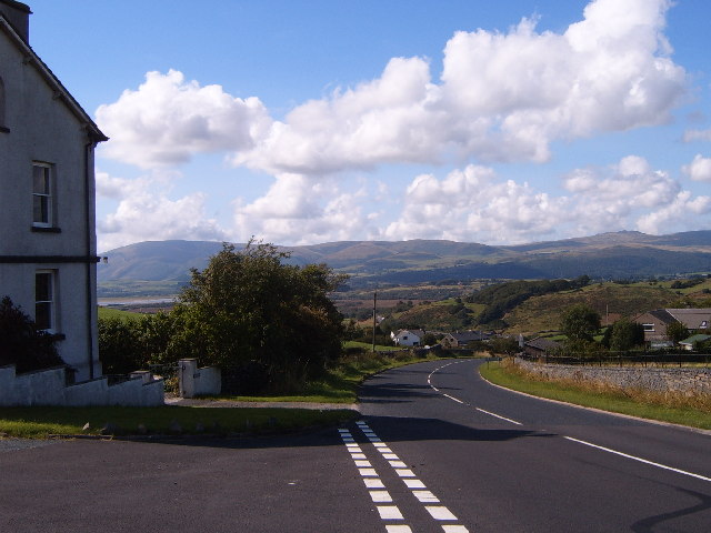
While Branthwaite may not have a wide range of amenities, it is conveniently located near the larger town of Keswick, which offers a variety of shops, restaurants, and cultural attractions. Additionally, the village is well-connected by road, making it easily accessible to visitors from all over the country.

All in all, Branthwaite is a charming village that appeals to nature lovers and those seeking a peaceful retreat in the heart of the beautiful Lake District.

If you have any feedback on the listing, please let us know in the comments section below.
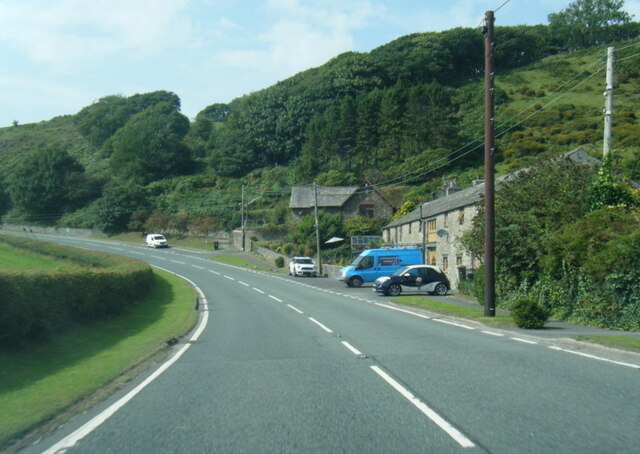
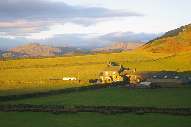
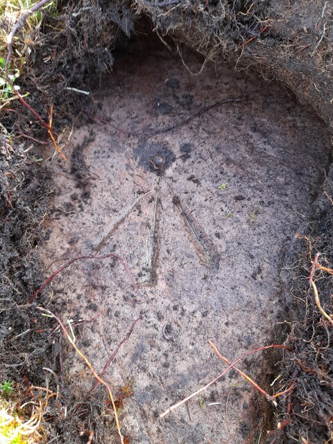
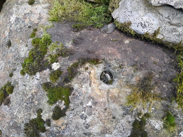
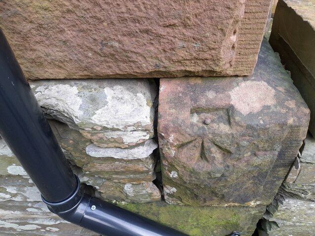
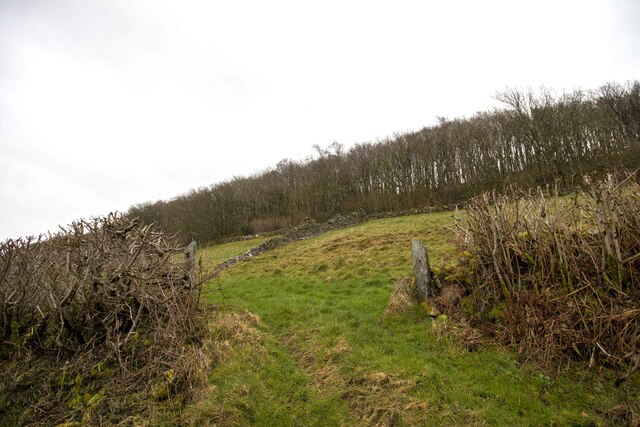
Beanthwaite Images

Images are sourced within 2km of 54.252874/-3.157281 or Grid Reference SD2484. Thanks to Geograph Open Source API. All images are credited.

A595 at Ellermire Bridge
Moorhouse Farm After a generally dull day, a burst of afternoon sunshine picks out the fells beyond Moorhouse Farm.
Moorhouse Farm
After a generally dull day, a burst of afternoon sunshine picks out the fells beyond Moorhouse Farm.
Ordnance Survey Rivet This OS rivet can be found on a rock south side of the road. It marks a point 200.156m above mean sea level.
Ordnance Survey Rivet
This OS rivet can be found on a rock south side of the road. It marks a point 200.156m above mean sea level.
Remains of OSBM Bolt The hole and remains of bolt thread can be found on a large boulder in field wall. It marked a point 170.505m above mean sea level.
Remains of OSBM Bolt
The hole and remains of bolt thread can be found on a large boulder in field wall. It marked a point 170.505m above mean sea level.
Ordnance Survey Rivet This OS rivet can be found on the wall east side of Woodlands Road. It marks a point 79.376m above mean sea level.
Ordnance Survey Rivet
This OS rivet can be found on the wall east side of Woodlands Road. It marks a point 79.376m above mean sea level.
Ordnance Survey Rivet This OS rivet can be found on the wall west side of Woodlands Road. It marks a point 93.637m above mean sea level.
Ordnance Survey Rivet
This OS rivet can be found on the wall west side of Woodlands Road. It marks a point 93.637m above mean sea level.
Ordnance Survey Rivet This OS rivet can be found on the rock south side of the road. It marks a point 202.140m above mean sea level.
Ordnance Survey Rivet
This OS rivet can be found on the rock south side of the road. It marks a point 202.140m above mean sea level.
Ordnance Survey Flush Bracket (S7106) This OS Flush Bracket can be found on old school building which is now a private property. It marks a point 14.673m above mean sea level.
Ordnance Survey Flush Bracket (S7106)
This OS Flush Bracket can be found on old school building which is now a private property. It marks a point 14.673m above mean sea level.
Ordnance Survey Cut Mark This OS cut mark can be found on the NE parapet of Ellermire Bridge. It marks a point 11.408m above mean sea level.
Ordnance Survey Cut Mark
This OS cut mark can be found on the NE parapet of Ellermire Bridge. It marks a point 11.408m above mean sea level.
Ordnance Survey Cut Mark This OS cut mark can be found on the house which was once the Mission Church. It marks a point 12.722m above mean sea level.
Ordnance Survey Cut Mark
This OS cut mark can be found on the house which was once the Mission Church. It marks a point 12.722m above mean sea level.
Ordnance Survey Cut Mark This OS cut mark can be found on the gatepost east side of Woodlands Road. It marks a point 34.203m above mean sea level.
Ordnance Survey Cut Mark
This OS cut mark can be found on the gatepost east side of Woodlands Road. It marks a point 34.203m above mean sea level.
Ordnance Survey Rivet This OS rivet can be found on the south angle of the chapel. It marks a point 7.616m above mean sea level.
Ordnance Survey Rivet
This OS rivet can be found on the south angle of the chapel. It marks a point 7.616m above mean sea level.
Ordnance Survey Cut Mark This OS cut mark can be found on the gatepost of The Hermitage. It marks a point 29.942m above mean sea level.
Ordnance Survey Cut Mark
This OS cut mark can be found on the gatepost of The Hermitage. It marks a point 29.942m above mean sea level.
Ordnance Survey Cut Mark This hidden OS cut mark can be found on the wall SW side of the road. It marks a point 32.935m above mean sea level.
Ordnance Survey Cut Mark
This hidden OS cut mark can be found on the wall SW side of the road. It marks a point 32.935m above mean sea level.
Hallstead Farm
Hallstead Farm
Gateway to field Gateway to field near Black Springs Wood
Gateway to field
Gateway to field near Black Springs Wood
Kirkby Slate Quarry A large quarry. To me, surprisingly unobtrusive considering its size. The nearby wind turbines are much more noticeable.
Kirkby Slate Quarry
A large quarry. To me, surprisingly unobtrusive considering its size. The nearby wind turbines are much more noticeable.
Swans on Kirkby Pool near Moss House, Angerton Kirkby Pool flows through the mosses, entering the Duddon estuary at Kirkby-in-Furness. On the skyline are Caw and the Coniston range.
Swans on Kirkby Pool near Moss House, Angerton
Kirkby Pool flows through the mosses, entering the Duddon estuary at Kirkby-in-Furness. On the skyline are Caw and the Coniston range.
Show me another place!

Beanthwaite is located at Grid Ref: SD2484 (Lat: 54.252874, Lng: -3.157281)

Administrative County: Cumbria

District: South Lakeland

Police Authority: Cumbria

What 3 Words

///touched.towel.essay. Near Ulverston, Cumbria

Nearby Locations

Hallstead Wood Beanthwaite

Related Wikis

Beanthwaite

Beanthwaite is a hamlet in Cumbria, England.

Kirkby Slate Quarries

Kirkby Slate Quarries, formally known as Burlington Slate Quarries, are located near Kirkby-in-Furness in Cumbria, England. The quarries have produced...

Kirkby Moor

Kirkby Moor is a poorly defined moorland area in southern Cumbria, England, named after the village of Kirkby-in-Furness, but stretching both sides of...

Burney (hill)

Burney is a hill in Cumbria, England, to the north of the A5092 road between Greenodd and Broughton-in-Furness. It is the subject of a chapter of Wainwright...

Gawthwaite

Gawthwaite is a village in Cumbria, England. It is located along the A5092 road, 4.8 miles (7.7 km) north of Ulverston. It is on the Grize Beck stream...

Angerton, South Lakeland

Angerton is a civil parish in the Westmorland and Furness district of the ceremonial county of Cumbria, England, historically part of the Furness portion...

Kirkby-in-Furness railway station

Kirkby-in-Furness is a railway station on the Cumbrian Coast Line, which runs between Carlisle and Barrow-in-Furness. The station, situated 9+1⁄4 miles...

Kirkby-in-Furness

Kirkby-in-Furness, generally referred to simply as Kirkby locally, is a village that is the major part of the parish of Kirkby Ireleth in the Furness district...

Related Videos

The Perfect Lake District Cottage - Tour and Meet the AirBnB Hosts

Meet John and Helen, the hosts of our favorite cottage in the Lake District and take a tour of their charming home. Chapels is a ...

Best Pubs in the Lake District, England

We stayed in Chapels, a small hamlet in Kirkby-in-Furness in the southern part of the Lake District in England. We enjoyed new ...

Kirkby-in-Furness & Askam Stations (Cumbrian Coast Line) - 19th July 2023

Hello Everyone, welcome to my second video from the beautiful Duddon Valley in South West Cumbria. Travelling once again ...

quarter peal of bob major at St Cuthbert's church Kirkby in Furness part 4

Join this channel to get access to Amazing perks Emogis Badges Videos and more: ...

Nearby Amenities

Located within 500m of 54.252874,-3.157281
Barrier: stile
Lat/Long: 54.2531986/-3.1585177
Barrier: stile
Lat/Long: 54.2496438/-3.1626035
Beanthwaite
Place: hamlet
Wikidata: Q4876320
Lat/Long: 54.2534395/-3.1557307
Coal Ash
Place: hamlet
Lat/Long: 54.2541231/-3.1634221
Barrier: stile
Lat/Long: 54.2553571/-3.1556213
Barrier: stile
Lat/Long: 54.2541587/-3.1556972
Barrier: stile
Lat/Long: 54.2507309/-3.162399
Barrier: stile
Lat/Long: 54.2522/-3.1607992
Power: pole
Lat/Long: 54.2543014/-3.1598894
Power: pole
Lat/Long: 54.255211/-3.1585398
Power: pole
Lat/Long: 54.2562378/-3.1574296
Power: pole
Lat/Long: 54.2562881/-3.1557738
Power: pole
Lat/Long: 54.2563892/-3.1546654
Power: pole
Lat/Long: 54.2555923/-3.1546829
Power: pole
Lat/Long: 54.254747/-3.154703
Power: pole
Lat/Long: 54.2537625/-3.1547506
Power: pole
Lat/Long: 54.2533274/-3.1547682
Power: pole
Lat/Long: 54.2529269/-3.1564789
Power: pole
Lat/Long: 54.2525234/-3.1581979
Power: pole
Lat/Long: 54.2519573/-3.1595475
Power: pole
Lat/Long: 54.2514126/-3.1607786
Power: pole
Lat/Long: 54.2508225/-3.1621054
Power: pole
Lat/Long: 54.2506441/-3.1638129
Power: pole
Lat/Long: 54.2527818/-3.1585809
Power: pole
Lat/Long: 54.2530188/-3.1589023
Power: pole
Lat/Long: 54.2572173/-3.1561894
The data included in this document is from www.openstreetmap.org. The data is made available under ODbL.

Have you been to Beanthwaite?

Leave your review of Beanthwaite below (or comments, questions and feedback).