Beanley
Settlement in Northumberland
England
Beanley

Beanley is a small hamlet located in the county of Northumberland, in the northeast region of England. Situated in the heart of rural Northumberland, Beanley is surrounded by picturesque countryside and offers a tranquil and idyllic setting.
The hamlet consists of a cluster of houses and farms, with a population of around 50 residents. It is located approximately 12 miles north of the market town of Alnwick and 14 miles south of the historic town of Berwick-upon-Tweed. Despite its small size, Beanley is well-connected to nearby towns and cities by road, with the A1 trunk road running just a few miles to the east.
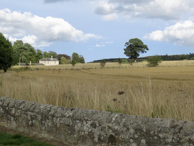
The landscape surrounding Beanley is characterized by rolling hills, farmland, and scattered woodlands, making it an ideal destination for nature lovers and outdoor enthusiasts. The area is known for its rich biodiversity and is home to various species of flora and fauna.
Historically, Beanley was primarily an agricultural community, with farming being the main occupation of its inhabitants. Today, while farming still plays a significant role in the local economy, the hamlet has also seen an increase in tourism and leisure activities. Visitors to Beanley can enjoy walking and cycling along the numerous footpaths and bridleways that crisscross the area, providing breathtaking views of the Northumberland countryside.
In summary, Beanley is a quaint and peaceful hamlet nestled in the beautiful Northumberland countryside. With its rural charm and natural beauty, it offers an escape from the hustle and bustle of city life, providing a perfect retreat for those seeking relaxation and a connection with nature.
If you have any feedback on the listing, please let us know in the comments section below.
Beanley Images
Images are sourced within 2km of 55.458786/-1.872983 or Grid Reference NU0818. Thanks to Geograph Open Source API. All images are credited.


Beanley is located at Grid Ref: NU0818 (Lat: 55.458786, Lng: -1.872983)
Unitary Authority: Northumberland
Police Authority: Northumbria
What 3 Words
///upward.shelving.widgets. Near Whittingham, Northumberland
Nearby Locations
Related Wikis

Beanley
Beanley is a village and former civil parish, now in the parish of Hedgeley in the county of Northumberland, England. It is situated to the north-west...

Hedgeley Hall
Hedgeley Hall is a privately owned late 18th-century country house situated near Powburn, Northumberland, 8 miles (13 km) northwest of Alnwick. It is a...
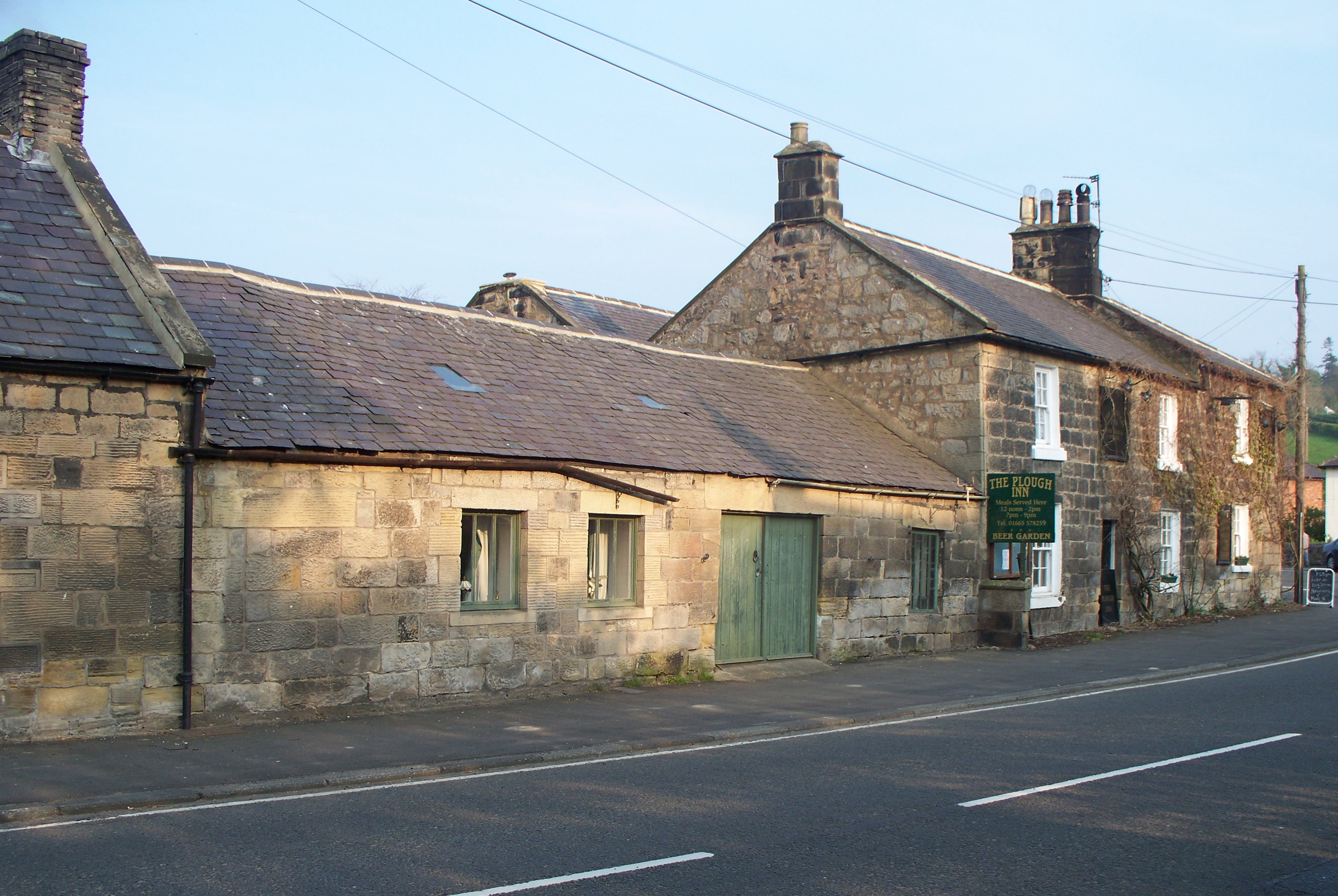
Powburn
Powburn is a small village on the A697 in Northumberland, England about 8 miles (13 km) south of Wooler and 10 miles (16 km) northwest of Alnwick. ��2...
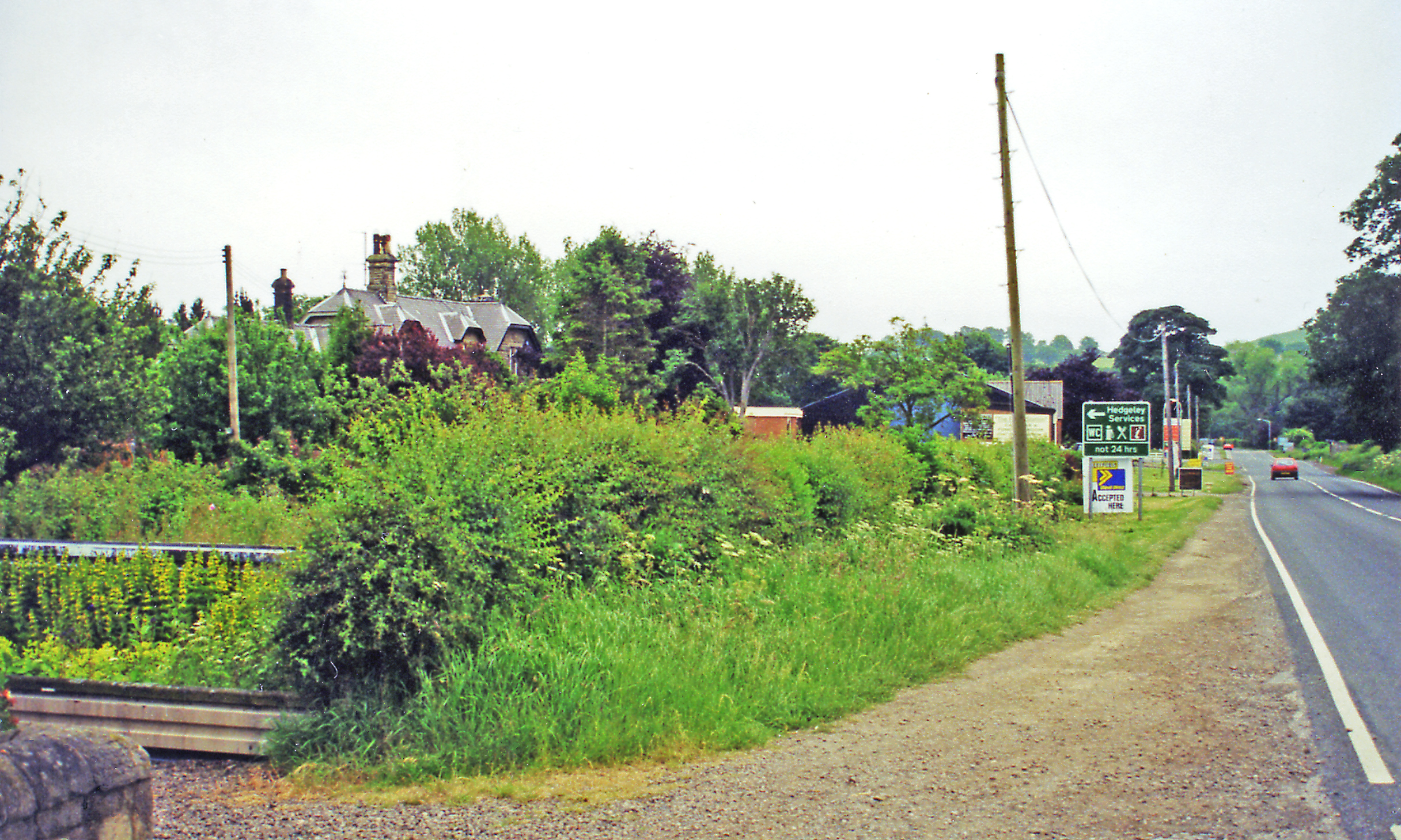
Hedgeley railway station
Hedgeley railway station served the area of Hedgeley, Northumberland, England from 1887 to 1953 on the Cornhill Branch. == History == The station opened...

Eglingham Hall
Eglingham Hall (grid reference NU10421954) is a former mansion house and a Grade II* listed building situated at Eglingham, near Alnwick, Northumberland...
Eglingham
Eglingham is a village in Northumberland, England, situated about 7 miles (11 km) north-west of Alnwick and 10 miles (16 km) from Wooler. It lies in the...

Old Bewick
Old Bewick is a rural village and former civil parish, now in the parish of Bewick, in the county of Northumberland, England, notable for its Bronze Age...

Battle of Hedgeley Moor
The Battle of Hedgeley Moor, 25 April 1464, was a battle of the Wars of the Roses. It was fought at Hedgeley Moor, north of the villages of Glanton and...
Nearby Amenities
Located within 500m of 55.458786,-1.872983Have you been to Beanley?
Leave your review of Beanley below (or comments, questions and feedback).