The Gloup

Coastal Feature, Headland, Point in Orkney

Scotland

The Gloup

Heatherhouse New bungalow on the Tankerness peninsula. The waters of Deer Sound can be seen beyond.
Heatherhouse Credit: Oliver Dixon

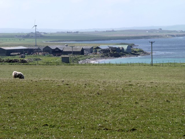
The Gloup is a captivating coastal feature located in Orkney, Scotland. Nestled on the east coast of the Mainland, the largest island in the Orkney archipelago, it is considered a prominent headland. This stunning geological formation is known for its unique natural features and historical significance.

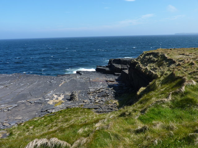
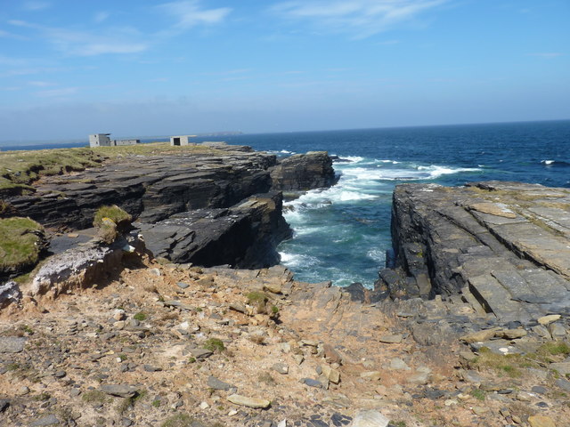
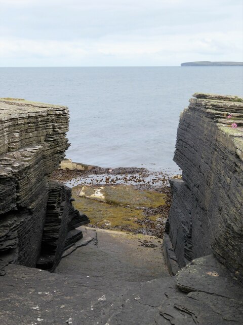
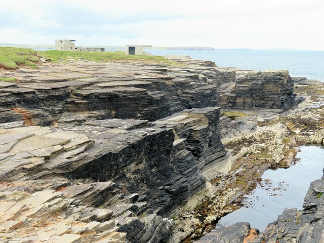
The Gloup is characterized by a dramatic sea cave that has been formed over thousands of years by the relentless erosion of the powerful North Sea. The cave extends deep into the cliffs and is renowned for its impressive size and shape. Its entrance is a magnificent archway that frames the crashing waves and offers mesmerizing views of the surrounding coastline.

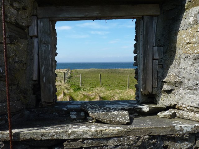
In addition to its striking appearance, The Gloup holds historical importance for the local community. It was once used as a fishing station and provided a vital source of sustenance for the inhabitants of nearby villages. Today, it serves as a popular tourist attraction, drawing visitors from around the world who are eager to explore its rugged beauty.

The Gloup is not only a visual spectacle but also a haven for wildlife enthusiasts. The surrounding cliffs provide nesting sites for various seabirds, including puffins, guillemots, and razorbills. Their vibrant colors and lively presence add to the charm of the area, making it a paradise for birdwatchers and nature lovers.

Overall, The Gloup is a captivating coastal feature that showcases the raw power of nature while offering a glimpse into the rich history and diverse wildlife of Orkney. Its grandeur and serenity make it a must-see destination for anyone visiting this unique part of Scotland.

If you have any feedback on the listing, please let us know in the comments section below.
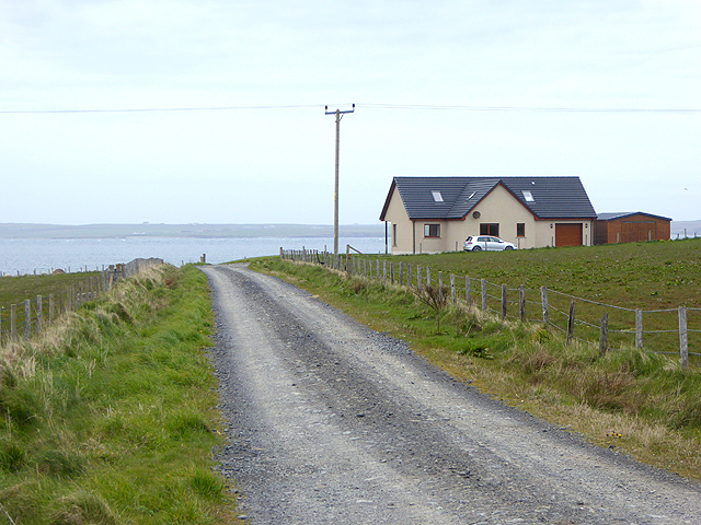
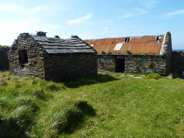
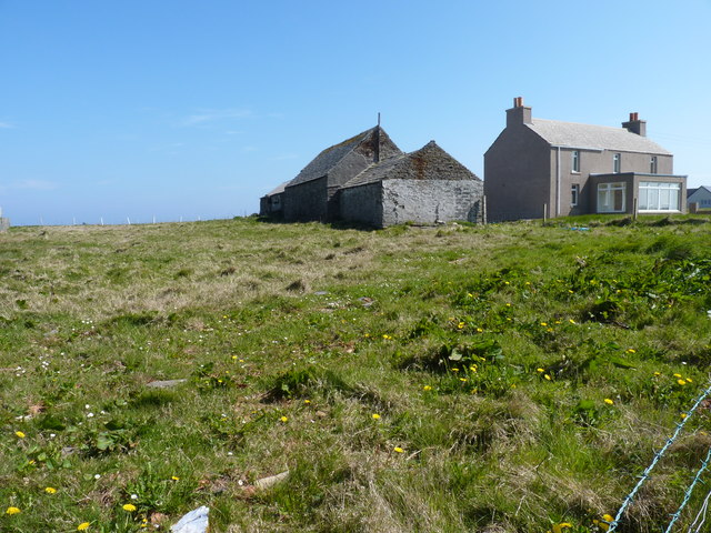
The Gloup Images

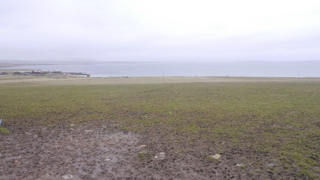
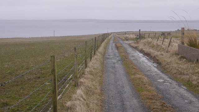
Images are sourced within 2km of 58.973055/-2.7936923 or Grid Reference HY5409. Thanks to Geograph Open Source API. All images are credited.

Heatherhouse New bungalow on the Tankerness peninsula. The waters of Deer Sound can be seen beyond.
Heatherhouse
New bungalow on the Tankerness peninsula. The waters of Deer Sound can be seen beyond.
Ploughed field on Skibbowick Hill The houses on the skyline are off the Tankerness Hall Road <a href="https://www.geograph.org.uk/gridref/HY5309">HY5309</a>. The bungalow with the red roof can be seen in closeup in <a href="https://www.geograph.org.uk/photo/4524566">HY5309 : Modern bungalow on Fea Hill</a>.
Ploughed field on Skibbowick Hill
The houses on the skyline are off the Tankerness Hall Road HY5309. The bungalow with the red roof can be seen in closeup in HY5309 : Modern bungalow on Fea Hill.
Tankerness Hall Road The eastern end of the road is a cul de sac leading to Holland and Boondatoon only.
Tankerness Hall Road
The eastern end of the road is a cul de sac leading to Holland and Boondatoon only.
Holland One of the many places in the Northern Isles named Holland or Houlland.
Holland
One of the many places in the Northern Isles named Holland or Houlland.
Disused enclosure The walls that remain are of substantial looking dry stone construction.
Disused enclosure
The walls that remain are of substantial looking dry stone construction.
Modern house On the road towards Rerwick Head. The island on the horizon is Stronsay.
Modern house
On the road towards Rerwick Head. The island on the horizon is Stronsay.
Farm buildings at Heatherhouse Seen from the road to Rerwick Head.
Farm buildings at Heatherhouse
Seen from the road to Rerwick Head.
Rock platform Someone has taken the trouble to build a small cairn of broken laminar rock fragments.
Rock platform
Someone has taken the trouble to build a small cairn of broken laminar rock fragments.
Coastal rocks Looking towards Rerwick head and the remains of WW1 and WW2 defences.
Coastal rocks
Looking towards Rerwick head and the remains of WW1 and WW2 defences.
Room with a view The room may have vanished but the view (of Shapinsay Sound) is still there.
Room with a view
The room may have vanished but the view (of Shapinsay Sound) is still there.
Abandoned croft Buildings at Rerwick.
Abandoned croft
Buildings at Rerwick.
Grunkeys farm On the OS map it is named Boondatoon but there is a signeboard in the garden beside it with the name Grunkeys.
Grunkeys farm
On the OS map it is named Boondatoon but there is a signeboard in the garden beside it with the name Grunkeys.
Ditch, Tankerness
Ditch, Tankerness
Ditch digging, Tankerness
Boondatoon Pasture on the northern end of Tankerness.
Boondatoon
Pasture on the northern end of Tankerness.
Road to Rerwick Head Leaving the tar at Boondatoon.
Road to Rerwick Head
Leaving the tar at Boondatoon.
Coastal rock architecture The ubiquitous Orkney flagstones of Devonian age dipping gently into the sea at this point. A natural arch is shown on the map close by, but if it does exist it must be more of a tunnel under some rather loose looking rocks.
Coastal rock architecture
The ubiquitous Orkney flagstones of Devonian age dipping gently into the sea at this point. A natural arch is shown on the map close by, but if it does exist it must be more of a tunnel under some rather loose looking rocks.
Coastline at Rerwick Head Low cliffs of Orkney flagstone with old WW2 defences in the distance.
Coastline at Rerwick Head
Low cliffs of Orkney flagstone with old WW2 defences in the distance.
Show me another place!

The Gloup is located at Grid Ref: HY5409 (Lat: 58.973055, Lng: -2.7936923)

Unitary Authority: Orkney Islands

Police Authority: Highlands and Islands

What 3 Words

///thankful.sharp.clogging. Near Tankerness, Orkney Islands

Related Wikis

Loch of Tankerness

Loch of Tankerness is a large, lowland, freshwater loch on the Orkney mainland in Scotland. The loch is roughly triangular in shape and is shallow with...

Deerness

Deerness (, locally , Old Norse: Dyrnes) is a quoad sacra parish (i.e. one created and functioning for ecclesiastical purposes only) and peninsula in Mainland...

Tankerness

Tankerness is a district in the St Andrews parish in Mainland, Orkney, Scotland. Essentially a peninsula, it is about 13 kilometres (8 mi) south-east of...

St Andrews, Orkney

St Andrews is a parish on Mainland, Orkney in Scotland. It is located east of the town of Kirkwall and the parish of St Ola and lies north of Holm and...

Nearby Amenities

Located within 500m of 58.973055,-2.7936923
Long Geo
Place: locality
Lat/Long: 58.9702187/-2.7916025
The Brough
Place: locality
Lat/Long: 58.9752732/-2.7925252
Murton
Place: locality
Lat/Long: 58.9722871/-2.792375
Craig of Ness
Place: locality
Lat/Long: 58.9736032/-2.7935122
Castle of Hoss
Place: locality
Lat/Long: 58.9746429/-2.7925681
The Churn
Place: locality
Lat/Long: 58.9714796/-2.7922462
Long Kist
Place: locality
Lat/Long: 58.9769321/-2.7934049
Castle of Hangie Bay
Place: locality
Lat/Long: 58.9765561/-2.7934908
Hangie Bay
Natural: bay
Lat/Long: 58.9771988/-2.7935261
Power: pole
Lat/Long: 58.9690442/-2.7943162
Power: pole
Lat/Long: 58.9697128/-2.795857
Power: pole
Lat/Long: 58.9704773/-2.797717
Power: pole
Lat/Long: 58.9712041/-2.7994638
Power: pole
Lat/Long: 58.9718208/-2.8009619
Power: pole
Lat/Long: 58.9736864/-2.8023116
The data included in this document is from www.openstreetmap.org. The data is made available under ODbL.

Have you been to The Gloup?

Leave your review of The Gloup below (or comments, questions and feedback).