Point of Geldibist
Coastal Feature, Headland, Point in Orkney
Scotland
Point of Geldibist
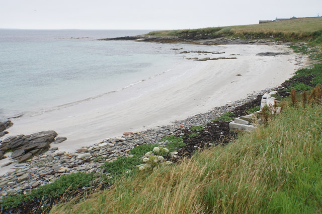
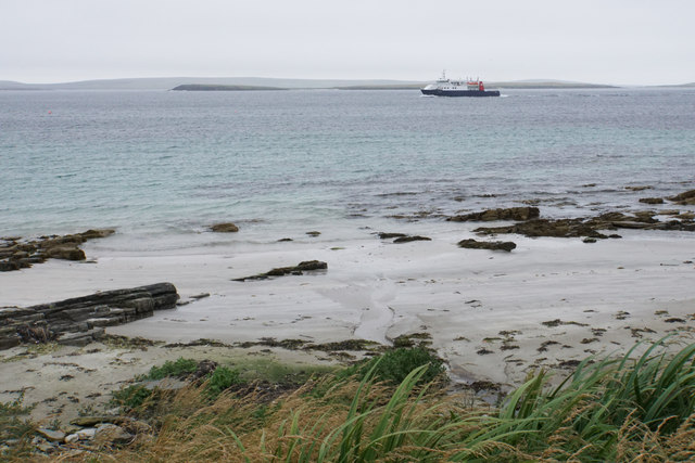
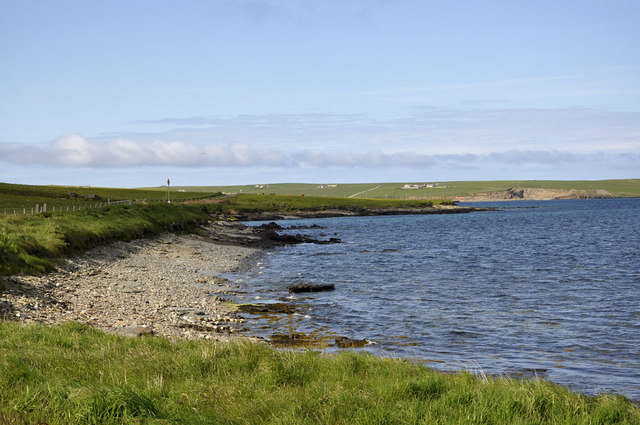
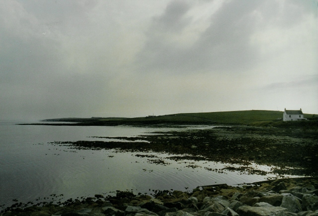
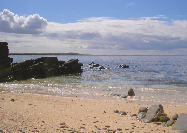
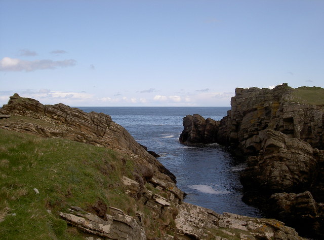
Point of Geldibist is a prominent headland located on the northern coast of Orkney, an archipelago situated off the northeastern coast of Scotland. It is positioned on the western side of the island of Westray, overlooking the tumultuous waters of the Atlantic Ocean. This coastal feature is characterized by its rugged and steep cliffs, which rise dramatically from the sea, providing stunning panoramic views of the surrounding landscape.
The Point of Geldibist is known for its geological significance, as it showcases impressive rock formations that have been shaped over millions of years by powerful waves and coastal erosion. The cliffs are composed of sandstone and shale, displaying layers of different colors and textures, adding to the visual appeal of the area.
The headland is also renowned for its abundant wildlife. Visitors to the Point of Geldibist have the opportunity to observe various seabirds, including puffins, guillemots, and razorbills, which nest on the cliffs during the breeding season. The surrounding waters are home to a diverse range of marine life, such as seals, dolphins, and even occasional sightings of whales.
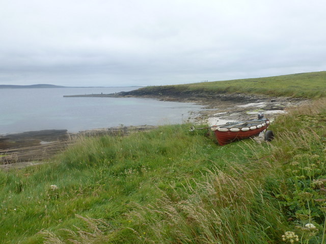
Access to Point of Geldibist is relatively easy, with a well-maintained footpath leading from a nearby car park. The path meanders along the cliff edge, allowing visitors to appreciate the stunning coastal scenery. However, caution is advised as the cliffs can be hazardous, and it is essential to adhere to safety guidelines and stay away from the cliff edges.
Overall, Point of Geldibist is a captivating coastal feature that offers visitors a unique opportunity to witness the raw beauty of Orkney's rugged coastline and its rich biodiversity.
If you have any feedback on the listing, please let us know in the comments section below.
Point of Geldibist Images
Images are sourced within 2km of 59.240527/-2.8679987 or Grid Reference HY5039. Thanks to Geograph Open Source API. All images are credited.
Point of Geldibist is located at Grid Ref: HY5039 (Lat: 59.240527, Lng: -2.8679987)
Unitary Authority: Orkney Islands
Police Authority: Highlands and Islands
What 3 Words
///coil.socket.expired. Near Backaland, Orkney Islands
Nearby Locations
Related Wikis

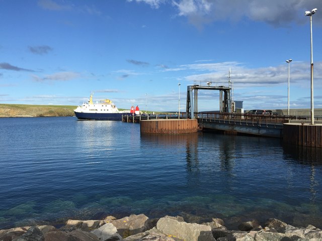
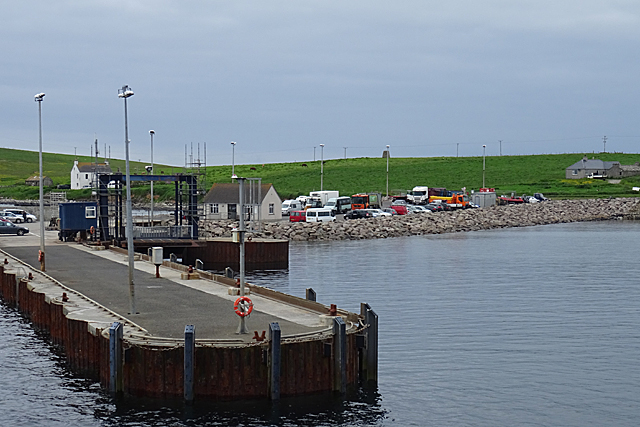
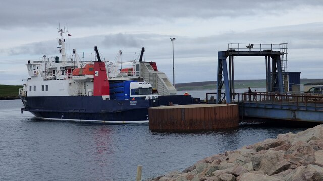
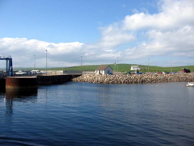
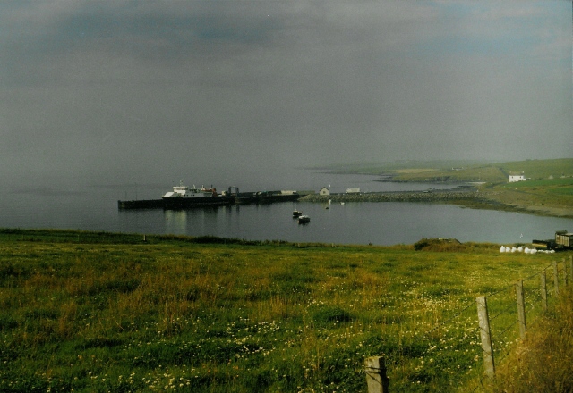
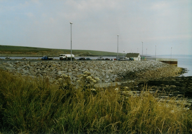
Rapness
Rapness is a settlement on the island of Westray in Orkney, Scotland. The slipway is the ferry terminal for the Orkney Ferries crossing from Kirkwall on...

Holm of Faray
The Holm of Faray is a small island in Orkney, Scotland, near Faray and Westray, which it lies between. Together with its neighbour Faray, it is designated...

Rusk Holm
Rusk Holm is a small island in the Orkney Islands, near Faray to the west. == History == There is a prehistoric cairn on it . Rusk Holm is also home to...

Faray
Faray (Old Norse: Færey) is a small island in Orkney, Scotland, lying between Eday and Westray. Previously inhabited, the low-lying island is now a successful...

Vinquoy chambered cairn
Vinquoy chambered cairn (grid reference HY56013809) is a Neolithic chambered cairn located on the island of Eday, in Orkney, Scotland. The tomb probably...

Westside Church
Westside Church, (also known as Cross Kirk), is a ruined 12th century church located on the island of Westray in Orkney, Scotland. Archaeological excavations...

Kili Holm
Kili Holm is a tidal island in the Orkney Islands, linked to Egilsay. Unusually, like its neighbour Egilsay, it may have a partly Gaelic etymology, in...

Calf of Eday
The Calf of Eday (Scots: Cauf o Aidee; Old Norse: Kalfr) is an uninhabited island in Orkney, Scotland, lying north east of Eday. It is known for its wildlife...
Nearby Amenities
Located within 500m of 59.240527,-2.8679987Have you been to Point of Geldibist?
Leave your review of Point of Geldibist below (or comments, questions and feedback).