Treed Geo
Coastal Feature, Headland, Point in Orkney
Scotland
Treed Geo
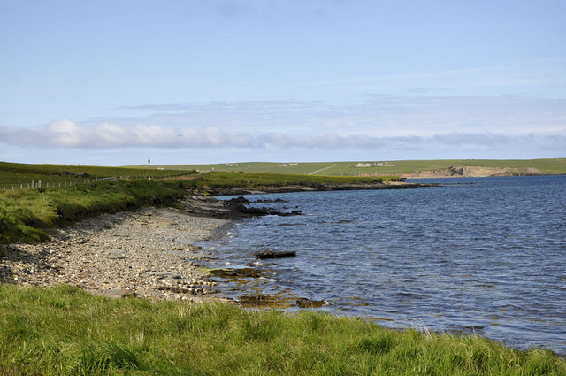
Treed Geo is a prominent coastal feature located in Orkney, a group of islands situated off the northeastern coast of Scotland. It is classified as a headland or point, jutting out into the North Sea.
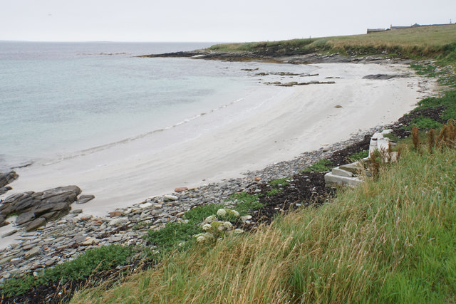
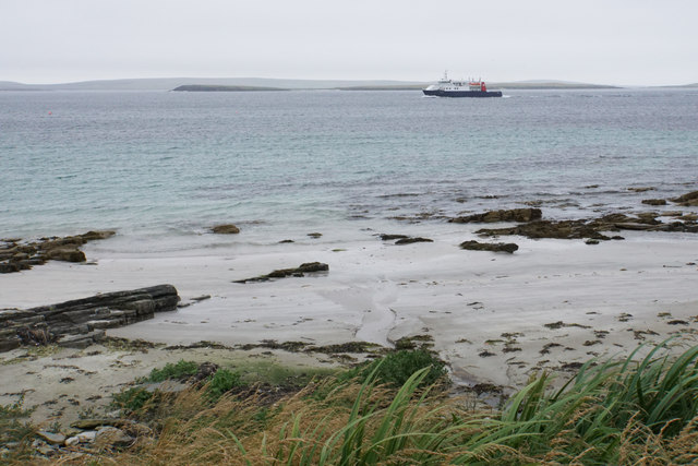
Treed Geo is characterized by its rugged and rocky terrain, with steep cliffs that reach heights of up to 30 meters (98 feet) above sea level. The name "Treed Geo" is derived from the Old Norse language and translates to "tree-shaped inlet," which aptly describes the distinctive shape of this coastal feature.
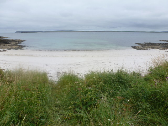
The headland offers stunning panoramic views of the surrounding area, including the vast expanse of the North Sea and the nearby islands of Orkney. The cliffs of Treed Geo are home to a variety of seabirds, such as puffins, fulmars, and guillemots, making it a popular spot for birdwatchers and nature enthusiasts.
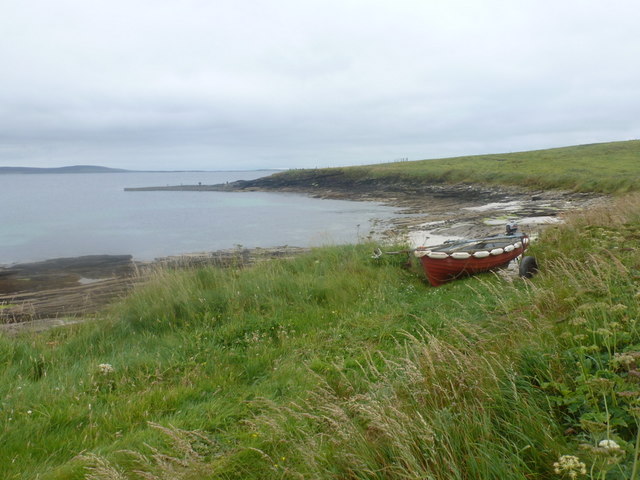
Access to Treed Geo is mainly by foot, as there are no major roads or infrastructure directly leading to the headland. Visitors can follow coastal paths and trails that wind their way through the rugged landscape, providing an opportunity to explore the unique flora and fauna of the area.
Treed Geo is also known for its historical significance, as it is believed to have been a strategic location during ancient times. The headland may have served as a lookout point or defensive position, given its commanding views and natural fortifications.
Overall, Treed Geo is a captivating coastal feature that offers a combination of natural beauty, wildlife diversity, and historical intrigue, making it a must-visit destination for those exploring the Orkney Islands.
If you have any feedback on the listing, please let us know in the comments section below.
Treed Geo Images
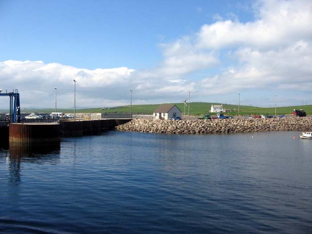
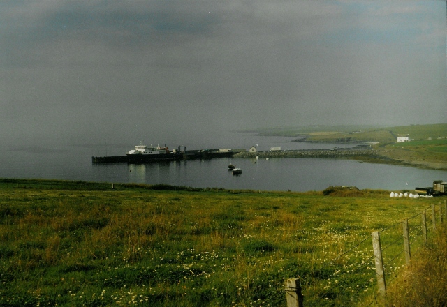
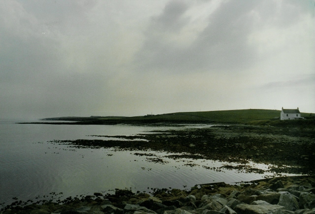
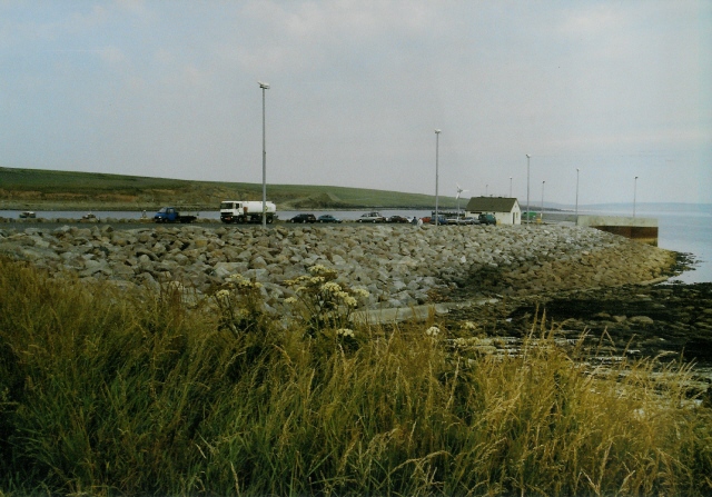
Images are sourced within 2km of 59.242042/-2.8776959 or Grid Reference HY5039. Thanks to Geograph Open Source API. All images are credited.


Treed Geo is located at Grid Ref: HY5039 (Lat: 59.242042, Lng: -2.8776959)
Unitary Authority: Orkney Islands
Police Authority: Highlands and Islands
What 3 Words
///describe.resemble.refrained. Near Pierowall, Orkney Islands
Nearby Locations
Related Wikis

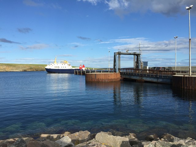
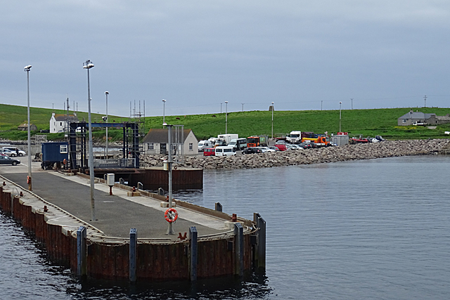
Rapness
Rapness is a settlement on the island of Westray in Orkney, Scotland. The slipway is the ferry terminal for the Orkney Ferries crossing from Kirkwall on...

Holm of Faray
The Holm of Faray is a small island in Orkney, Scotland, near Faray and Westray, which it lies between. Together with its neighbour Faray, it is designated...

Rusk Holm
Rusk Holm is a small island in the Orkney Islands, near Faray to the west. == History == There is a prehistoric cairn on it . Rusk Holm is also home to...

Faray
Faray (Old Norse: Færey) is a small island in Orkney, Scotland, lying between Eday and Westray. Previously inhabited, the low-lying island is now a successful...
Nearby Amenities
Located within 500m of 59.242042,-2.8776959Have you been to Treed Geo?
Leave your review of Treed Geo below (or comments, questions and feedback).