Steepers Geo
Coastal Feature, Headland, Point in Orkney
Scotland
Steepers Geo

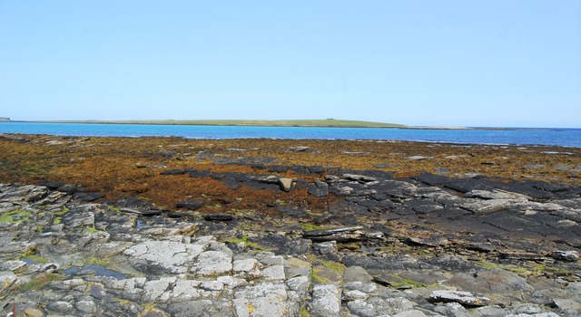
Steepers Geo is a prominent coastal feature located in Orkney, an archipelago in Scotland. It is a headland that juts out into the sea, forming a distinct point along the coastline. The name "geo" is a local term used to describe a narrow, deep inlet or cove, often created by the erosive action of the sea.
Steepers Geo is characterized by its steep cliffs that rise dramatically from the water, reaching heights of up to 100 feet. These cliffs are composed of rugged and weathered rock formations, displaying intricate layers of sedimentary rocks, such as sandstone and shale, which provide insights into the geological history of the area.
The headland offers breathtaking views of the surrounding coastal landscape and the vast expanse of the North Sea. It is a popular spot for nature enthusiasts, geologists, and photographers who are drawn to its dramatic scenery and the abundance of birdlife that inhabits the area.
Steepers Geo is also known for its rich marine ecosystem, with various species of fish, seals, and seabirds that can be observed in the surrounding waters. The site is often used for birdwatching and provides a nesting habitat for seabirds such as puffins, guillemots, and razorbills.
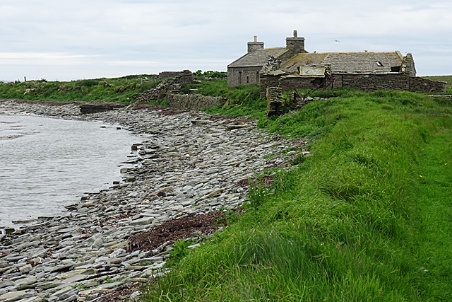
In addition to its natural beauty, Steepers Geo holds historical significance. It is believed to have been a site of human activity dating back thousands of years, with archaeological evidence suggesting that it was inhabited during the Neolithic period. The remains of ancient settlements and artifacts have been discovered in the vicinity, adding to the area's cultural heritage.
If you have any feedback on the listing, please let us know in the comments section below.
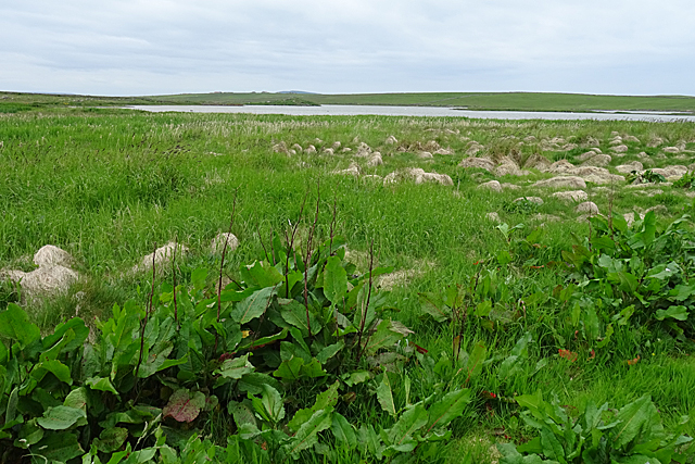
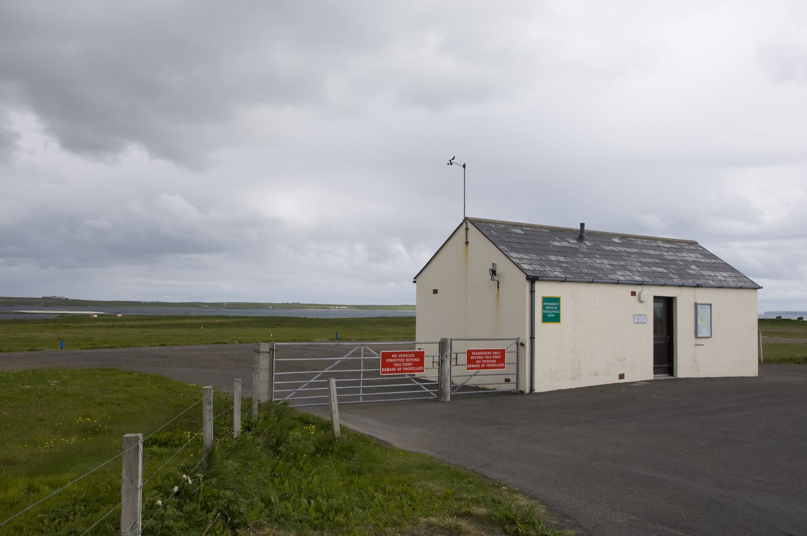
Steepers Geo Images
Images are sourced within 2km of 59.330841/-2.8803194 or Grid Reference HY5049. Thanks to Geograph Open Source API. All images are credited.


Steepers Geo is located at Grid Ref: HY5049 (Lat: 59.330841, Lng: -2.8803194)
Unitary Authority: Orkney Islands
Police Authority: Highlands and Islands
What 3 Words
///roughness.hunches.shuttle. Near Pierowall, Orkney Islands
Nearby Locations
Related Wikis

Holland House, Papa Westray
Holland Farm is a historic farm complex located on the island of Papa Westray in Orkney, Scotland. The two-storey harled flagstone house with crow-stepped...

Holm of Papa
The Holm of Papa (or Holm of Papay, Holm of Papa Westray and known locally as the Papay Holm,) is a very small uninhabited island in the Orkney Islands...

Papa Westray
Papa Westray () (Scots: Papa Westree), also known as Papay, is one of the Orkney Islands in Scotland, United Kingdom. The fertile soil has long been a...

Papa Westray Airport
Papa Westray Airport (IATA: PPW, ICAO: EGEP) is located 22 NM (41 km; 25 mi) north of Kirkwall Airport on Papa Westray, Orkney Islands, Scotland. The facility...

Knap of Howar
The Knap of Howar () on the island of Papa Westray in Orkney, Scotland is a Neolithic farmstead which may be the oldest preserved stone house in northern...

St Boniface's Church, Papa Westray
St Boniface's Church, Papa Westray is a historic church and graveyard located on the island of Papa Westray in Orkney, Scotland. The site of the church...
Westray Airport
Westray Airport (IATA: WRY, ICAO: EGEW) is an airport at Aikerness, on Westray in the Orkney Islands, Scotland. It is best known for being one of the two...

Quoygrew settlement, Westray
Quoygrew, Westray is the site of a medieval Norse settlement on the island of Westray in Orkney, Scotland. Established as a small farmstead most likely...
Nearby Amenities
Located within 500m of 59.330841,-2.8803194Have you been to Steepers Geo?
Leave your review of Steepers Geo below (or comments, questions and feedback).