Boglin Geo
Coastal Feature, Headland, Point in Orkney
Scotland
Boglin Geo

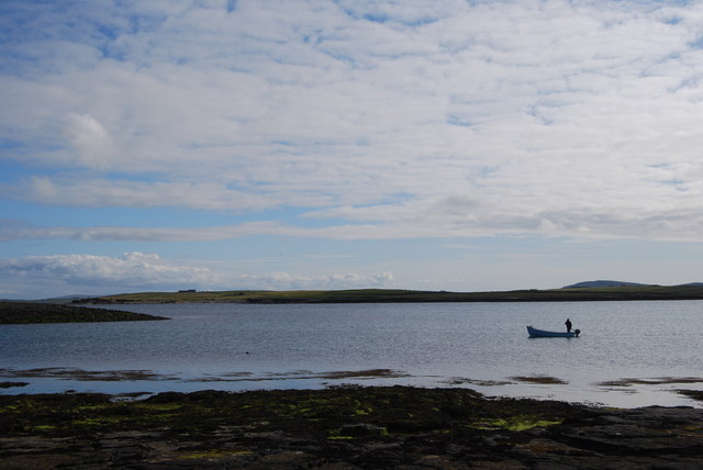
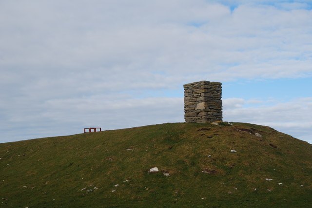
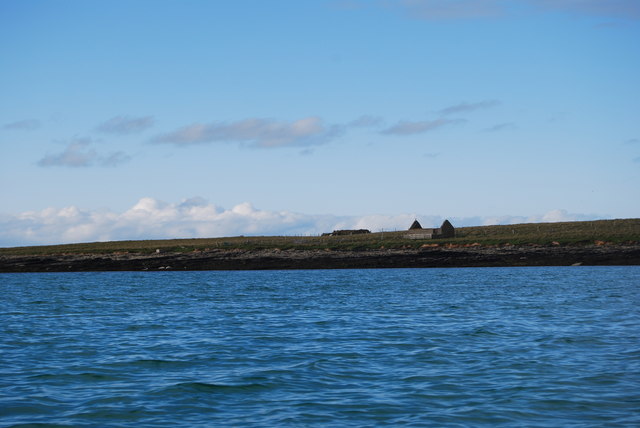
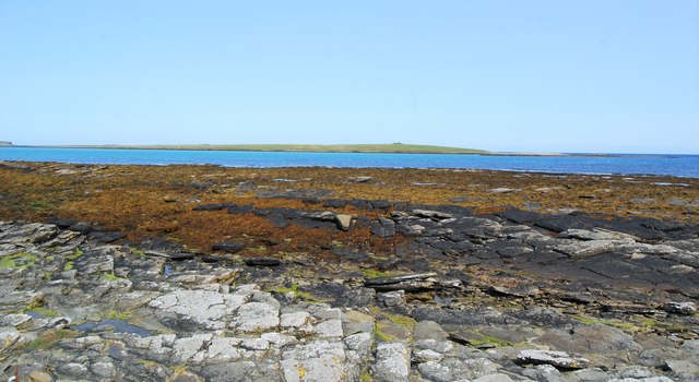
Boglin Geo is a prominent coastal feature located on the island of Orkney in Scotland. It is a headland that juts out into the North Sea, forming a distinctive point along the rugged coastline. The geo, a term used to describe a narrow inlet or cleft in the cliffs, is characterized by its steep sides and rocky terrain.
At Boglin Geo, visitors are treated to breathtaking views of the surrounding landscape. The headland offers a vantage point from which one can appreciate the dramatic cliffs that stretch along the coast, as well as the expansive ocean that lies beyond. On a clear day, the horizon seems endless, with only the faint outline of other islands visible in the distance.
The geo itself is a haven for wildlife, particularly seabirds. Visitors may spot colonies of puffins, guillemots, and razorbills nesting in the cliffs. Gannets can also be seen diving into the water in search of fish. The area is a paradise for birdwatchers and nature enthusiasts alike.
Access to Boglin Geo is relatively easy, with a path leading from a nearby car park to the headland. However, it is important for visitors to exercise caution, as the terrain can be uneven and slippery. Sturdy walking shoes and appropriate outdoor clothing are recommended.
In conclusion, Boglin Geo is a stunning coastal feature on Orkney Island, renowned for its awe-inspiring views and abundant wildlife. It offers visitors a chance to immerse themselves in the rugged beauty of the Scottish coastline and experience nature at its finest.
If you have any feedback on the listing, please let us know in the comments section below.
Boglin Geo Images
Images are sourced within 2km of 59.333648/-2.8769998 or Grid Reference HY5050. Thanks to Geograph Open Source API. All images are credited.


Boglin Geo is located at Grid Ref: HY5050 (Lat: 59.333648, Lng: -2.8769998)
Unitary Authority: Orkney Islands
Police Authority: Highlands and Islands
What 3 Words
///failed.reseller.goggle. Near Pierowall, Orkney Islands
Nearby Locations
Related Wikis

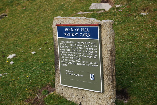
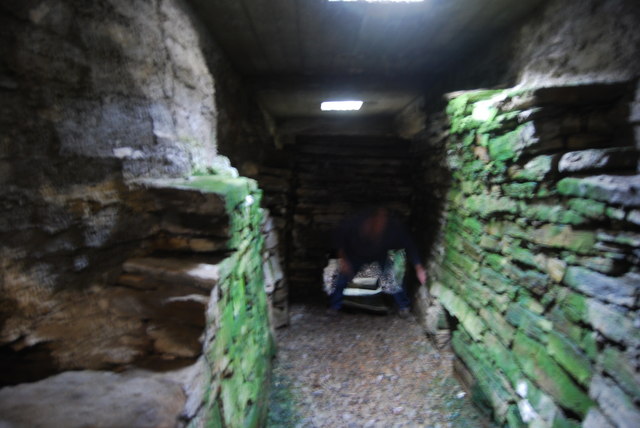
Holm of Papa
The Holm of Papa (or Holm of Papay, Holm of Papa Westray and known locally as the Papay Holm,) is a very small uninhabited island in the Orkney Islands...

Holland House, Papa Westray
Holland Farm is a historic farm complex located on the island of Papa Westray in Orkney, Scotland. The two-storey harled flagstone house with crow-stepped...

Papa Westray
Papa Westray () (Scots: Papa Westree), also known as Papay, is one of the Orkney Islands in Scotland, United Kingdom. The fertile soil has long been a...

Papa Westray Airport
Papa Westray Airport (IATA: PPW, ICAO: EGEP) is located 22 NM (41 km; 25 mi) north of Kirkwall Airport on Papa Westray, Orkney Islands, Scotland. The facility...
Have you been to Boglin Geo?
Leave your review of Boglin Geo below (or comments, questions and feedback).